Pros & cons
PROS
- Quieter alternative to the busy upper canyon with easier parking
- Direct access to lower Maligne Canyon and the Overlander Trail
- Scenic river section with karst springs upstream toward Fifth Bridge
CONS
- One‑way hike from here is a steady climb to the upper bridges
- Occasional temporary closures; check status before you go
- Limited onsite services compared to the upper trailhead
Overview
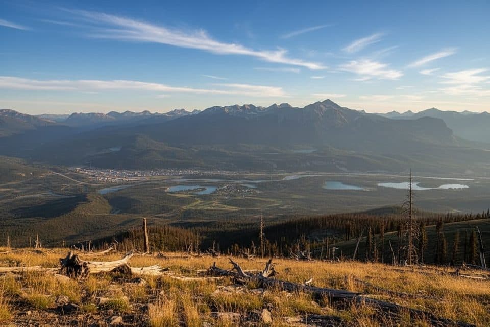
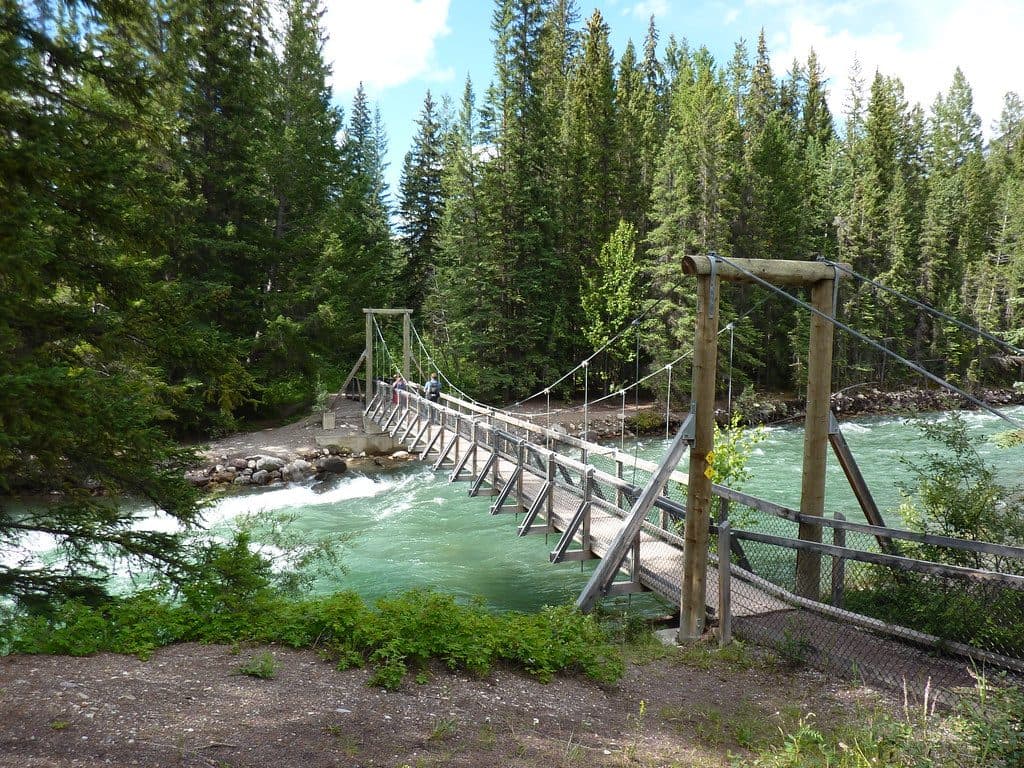
Sixth Bridge is the lowermost access point to Maligne Canyon, about 7.5 km east of town via Highway 16 and Maligne Road. It’s the quiet, forested end of the canyon where the Maligne River broadens before cutting back into the cliffy narrows upstream.
Why start here
If you’ve heard the upper trailhead near First Bridge can be a zoo, you’re right. Sixth Bridge is the antidote: easier parking, calmer vibes, and instant access to riverside walking. It also doubles as the trailhead for the Overlander Trail, so you’ve got options beyond the canyon.
What you’ll see
Head upstream and watch the river’s personality shift from open flats to tightening canyon walls. Between the Fifth and Sixth bridges, keep an eye out for springs bubbling straight from the ground—classic Rockies karst at work. It’s less dramatic than the upper narrows but more serene, with lush montane forest and plenty of places to linger by the water.
Typical routes
- Down-canyon to up-canyon: Many folks prefer starting at First Bridge and walking down to Sixth for an easier, mostly downhill one‑way. If you start at Sixth and go up, expect a steady climb over roughly 3.7 km to the upper bridges.
- Distances from the upper lot: Roughly 8 km round‑trip to reach Sixth Bridge from the main upper trailhead (about 4 km round‑trip to Fifth).
- Overlander Trail: Branches from the Sixth Bridge area for a longer, quieter day out.
Wildlife
This is prime montane habitat—deer and elk are common, with lots of birdlife along the river. Bears do wander through this corridor. Make noise, carry bear spray, and give wildlife space.
Amenities
There’s a dedicated parking area and signed trail access. Expect limited services compared to the upper trailhead; plan to be self‑sufficient. Some visitors report portable toilets and picnic spots at or near the parking area, but don’t count on full facilities.
Closures and conditions
Parts of the Maligne Canyon route, including access around Sixth Bridge, have seen intermittent closures for wildfire recovery and safety assessments in recent seasons. Check Parks Canada updates before you go. Trails can be muddy or icy after rain or in shoulder seasons—good footwear pays off.
Best time to visit
Weekday mornings and late afternoons are the sweet spot for quiet trails and softer light on the river. Midday sees more traffic, especially closer to the upper bridges. The area is open all day, but dawn and dusk deliver the calmest experience and best photos.

Where it is
52.9336, -118.0300Tips for Sixth Bridge
- 01Start here to dodge the upper lot crunch and crowds.
- 02If hiking one‑way, arrange a shuttle to avoid the uphill return.
- 03Going upstream from Sixth Bridge is a steady climb—budget time and energy.
- 04Carry bear spray and make noise; this is active wildlife habitat.
- 05Check Parks Canada for current closures and trail conditions before you go.
Amenities
Near Sixth Bridge
All places →All trails →
0 mi awaySixth Bridge to Third Bridge LoopQuieter Maligne Canyon loop with big views from the Sixth BridgeModerate · 5 mi · 3 hr
0 mi awayOverlander TrailHistoric riverside singletrack with views and easy shuttle logisticsModerate · 10 mi · 5.5 hr
0 mi awayPunchbowl via Overlander TrailScenic Overlander trek to the Punchbowl viewpoint above the AthabascaModerate · 8.4 mi · 4.5 hr
1 mi awayFifth Bridge LoopLower Maligne Canyon loop with springs, bridges, and big viewsEasy · 2.6 mi · 1.5 hr
1 mi awayFifth BridgeQuieter gateway to Maligne Canyon’s springs and serene river viewsTrailhead · Parking
1.5 mi awayMount Tekarra ViewpointQuick, big views of Tekarra from Maligne LookoutParking · Scenic Viewpoint
1.5 mi awayBridge No 4Quieter Maligne Canyon span with dramatic views into the narrowsScenic Viewpoint
1.6 mi awayEdith LakeQuiet, swimmable lake with a sandy shore and mountain viewsTrailhead · Parking