Parking
Use the Sixth Bridge picnic area and trailhead east of Jasper as the primary access. The opposite end is at the Overlander trailhead off Highway 16; arrange a car shuttle or pickup for this point-to-point hike.

Jasper National Park, AB
Historic riverside singletrack with views and easy shuttle logistics
Overview
The Overlander Trail (Trail 10) is a moderate point-to-point route linking the Sixth Bridge trailhead east of Jasper with its Highway 16 endpoint. It follows the Athabasca River corridor through forest and open river views, with historic homestead remains and interpretive signs along the way. Parks Canada lists the complete route at 15.5 km (9.6 miles) one way, with about 65 m (213 ft) of elevation gain and a 5–6 hour hiking time. Most hikers arrange a shuttle rather than walk it out and back.
The route is mostly gentle singletrack with roots and rocks, rolling through mixed forest and along the river. It is a long day because of the distance rather than sustained climbing. The corridor includes historic touches and quieter river openings, but the scenery is more about steady valley travel than alpine viewpoints.
This is multi-use terrain with bike traffic on sections of the trail and junctions that can be easy to miss. Carry a map or GPS, make noise in bear country, carry bear spray, and keep dogs leashed. Water sources are not reliable, so bring enough for the full outing.
The logistics are the main consideration: use the Sixth Bridge access as the primary trailhead, arrange a car shuttle or pickup for the Highway 16 end, and allow a full 5–6 hours for the one-way route. An out-and-back would be about 31 km (19.3 miles) and substantially longer than the usual shuttle itinerary.
Map & elevation
Plan your hike

The highest, rockiest slopes around here are a summer buffet for grizzly bears.
Jasper Tour Guide
Parkwolf is a GPS audio tour guide for Jasper National Park. As you drive, it chimes in with what’s ahead: hidden gems, upcoming stops, history, geology, and wildlife, right through your car’s speakers.
See the Jasper audio tourRecorded for this trailhead
Sixth Bridge: A Quieter Canyon Entrance“The trailhead you're approaching is for Sixth Bridge, a calmer alternative to the main Maligne Canyon entrance. This is a great starting point if you want to avoid the biggest crowds.”
Plays as you drive up to this trailhead in the Parkwolf Jasper Tour Guide.
More stories near here in the app
“Fantastic app with many points of information… It’s great to just turn on while you’re driving and it gives you an audio tour of the national Park. We love it!!!!”


Wildlife
 174 sightingsGrizzly BearMost seen around 8 PMSighting map
 43 sightingsCaribouMost seen around 7 AMSighting map
 40 sightingsGray WolfMost seen around 6 AMSighting map
 12 sightingsCanada LynxMost seen around 8 PMSighting map
 315 sightingsMooseMost seen around 6 AMSighting map
 1,028 sightingsElkMost seen around 7 AMSighting map
Sighting maps show where each species has been reported across Jasper. Wildlife moves, so no sighting is guaranteed.
Keep exploring
 ModerateSixth Bridge to Third Bridge Loop6.3 km · 2.5 hr · At the trailheadA quieter way into Maligne Canyon's bridge sequence
 EasyFifth Bridge Loop4.2 km · 1.5 hr · 1.6 km awayFifth Bridge to First Bridge through Maligne Canyon's limestone gorge
 ModerateMaligne Canyon3.7 km · 1.5 hr · 2.5 km awayPoint-to-point gorge walk from Jasper’s upper bridges to Sixth Bridge
 ModeratePyramid Lookout Trail5.3 km · 2 hr · 2.8 km awaySteady forest climb to Pyramid Bench red chairs and lake viewsChallengingTekarra Lookout via Signal14.3 km · 6 hr · 2.9 km awayA point-to-point Skyline finish from Signal trailhead to Tekarra Camp with exposed ridge views
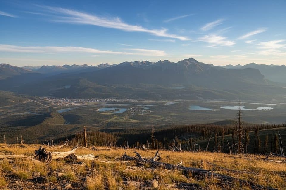 ChallengingSignal Mountain Fire Road18.5 km · 8 hr · 2.9 km awayLong, steady fire-road climb to Signal Mountain views
 EasyEdith Lake Loop4.7 km · 1.3 hr · 3.1 km awayEasy lakeshore loop with a quiet beach and mountain views
 EasyLake Edith Loop4.9 km · 1.5 hr · 3.2 km awayEasy lakeshore loop with quiet forest, public beach access and mountain views
 Trailhead · At the trailheadSixth BridgeQuieter trailhead into lower Maligne Canyon and Overlander Trail
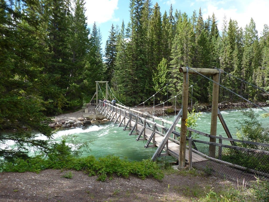 Trailhead · 1.6 km awayFifth BridgeQuieter gateway to Maligne Canyon’s springs and serene river views
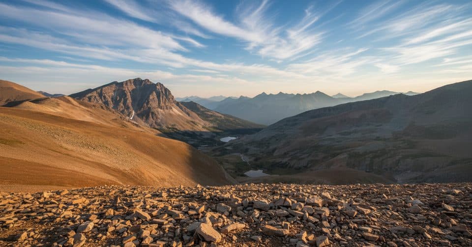 Sight · 2.5 km awayMount Tekarra ViewpointQuick, big views of Tekarra from Maligne Lookout
 Sight · 2.5 km awayBridge No 4Quieter Maligne Canyon span with dramatic views into the narrows
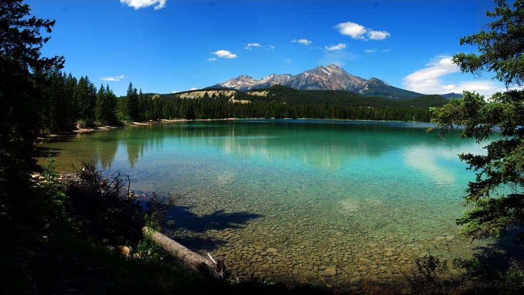 Sight · 2.5 km awayEdith LakeQuiet, swimmable lake with a sandy shore and mountain views
 Sight · 2.6 km awayMaligne CanyonDeep slot canyon with bridges, waterfalls, and a winter ice walk
 Restaurant · 2.6 km awayMaligne Canyon Wilderness KitchenSmokehouse eats steps from Maligne Canyon’s upper trailhead
 Lodging · 2.8 km awayHI Maligne CanyonRustic wilderness hostel steps from Maligne Canyon bridges and waterfalls
Parkwolf’s Jasper ranking

The audio tour guide for the drive, plus offline maps, trails, and wildlife heatmaps for when the signal drops.




