
Place · 0.1 mi away
Easy
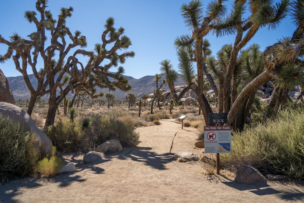
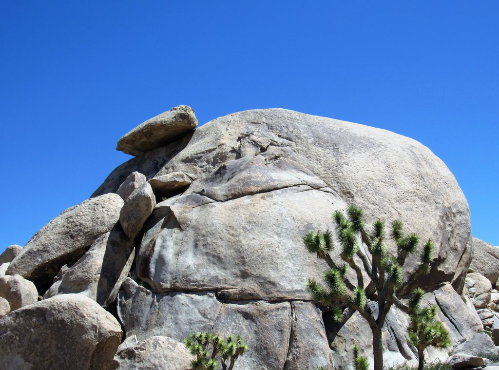
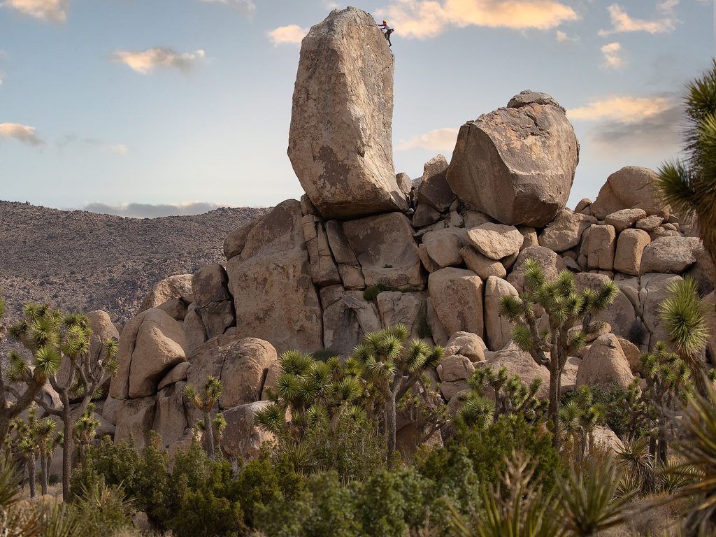
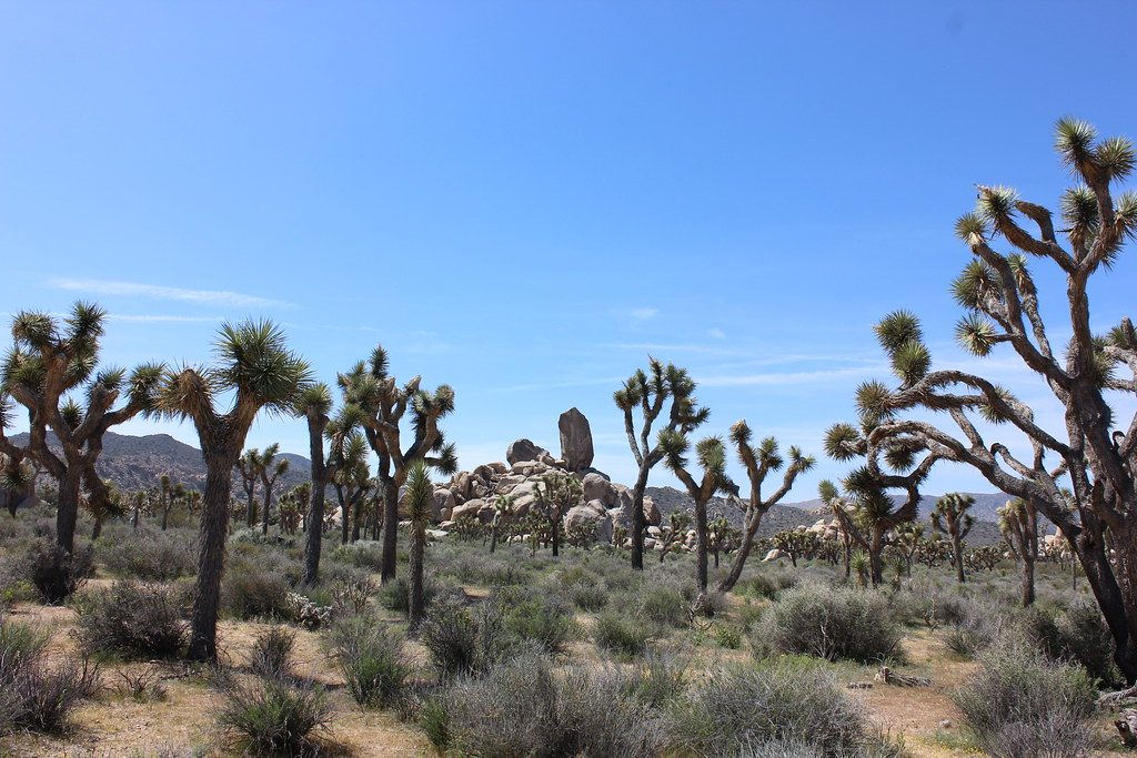
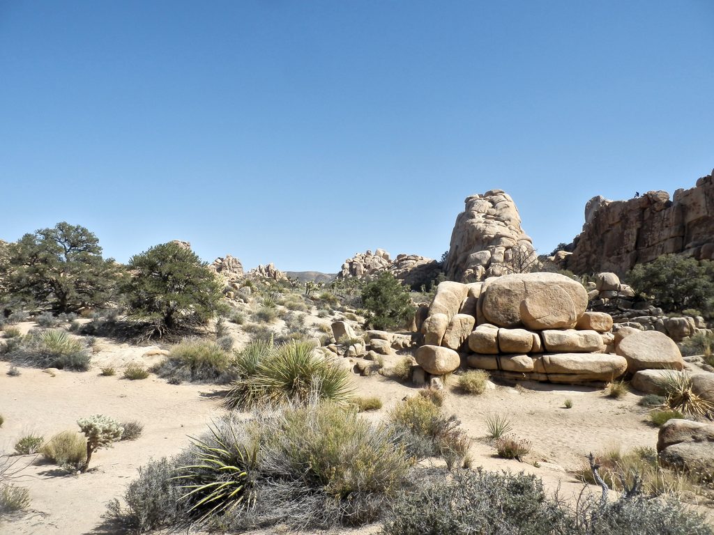
Cap Rock Trail is the park’s bite‑size greatest hits: a 0.4‑mile loop with essentially no climbing (around 20 feet total) that orbits a photogenic boulder pile crowned by the namesake “cap.” It’s short, easy, and a perfect sampler if you only have a few minutes or want a leg‑stretch between bigger stops.
Expect classic Joshua Tree scenery—Joshua trees, juniper, and hardy desert shrubs—set against hulking monzogranite boulders. Interpretive signs add context on the local geology and ecology, turning a quick stroll into a mini‑nature walk. The loop also brushes by a slice of music lore tied to Gram Parsons, giving this stop an oddball cultural footnote along with the scenery. Off the main path, nearby boulders invite casual scrambling and make-for-fun photo ops; just keep it safe and low‑risk.
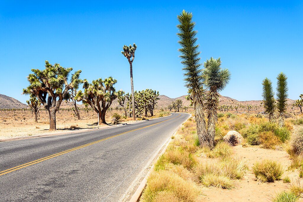
The trail sits at the junction of Park Boulevard and Keys View Road, next to the Cap Rock picnic area. There’s a paved parking lot with vault toilets, picnic tables, BBQ grills, and trash/recycling. Despite the amenities, it’s a popular stop—parking can still fill at peak times.
The loop is wide, flat, and hard‑packed dirt/sand—stroller‑friendly and manageable for many mobility devices, though it isn’t an officially ADA‑designated trail. Shade is minimal, and the route is fully exposed.
Open year‑round. Spring brings the most pleasant temps and occasional wildflowers. Autumn and winter are comfortable and often deliver gorgeous pink‑gold light on the rocks at sunrise and sunset. Summer is brutally hot and dry—do it early or late with ample water and sun protection.
Great for families, first‑timers, photographers, and anyone who wants classic Joshua Tree scenery with minimal effort. If you’re chasing solitude or a “real hike,” this will feel more like a scenic stroll—consider pairing it with a longer nearby outing.
Paved lot at the Cap Rock picnic area at Park Boulevard and Keys View Road; accommodates cars and RVs but can fill during busy hours.
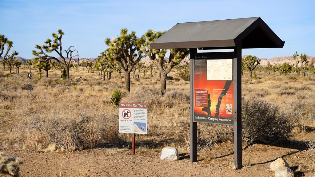
Fully exposed sun and heat year‑round; bring ample water and sun protection. The path is flat but unpaved and not ADA‑designated. If you scramble on nearby boulders, expect uneven footing. No dogs on the trail.
Place · 0.1 mi away
Place · 0.1 mi away
Place · 0.6 mi away
Place · 0.7 mi away
Easy · 0.5 mi away
Challenging · 0.8 mi away
Easy · 1.2 mi away
Easy · 1.7 mi away

Parkwolf Tour Guide
