Parking
Use the Ryan Ranch Trailhead parking area alongside Park Boulevard for the published one-mile route. An information kiosk is at the trailhead. Ryan Campground near site 14 is an alternate access point.
Joshua Tree National Park, CA
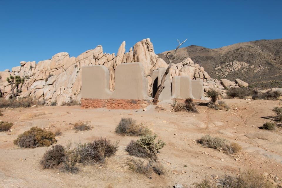
An easy mile to the old adobe ranch and fallen windmill.
Overview
Map & elevation
Plan your hike

The highest, rockiest slopes around here are a summer buffet for grizzly bears.
Joshua Tree Tour Guide
Parkwolf is a GPS audio tour guide for Joshua Tree National Park. As you drive, it chimes in with what’s ahead: hidden gems, upcoming stops, history, geology, and wildlife, right through your car’s speakers.
See the Joshua Tree audio tourRecorded for this trailhead
Ryan Ranch: Adobe and Mining History“You're coming up on the Ryan Ranch trailhead, a good choice for a short walk into the area's mining history. The easy, one-mile round trip follows an old ranch road and takes about an hour.”
Plays as you drive up to this trailhead in the Parkwolf Joshua Tree Tour Guide.
More stories near here in the app
“Fantastic app with many points of information… It’s great to just turn on while you’re driving and it gives you an audio tour of the national Park. We love it!!!!”


Trail guide
Ryan Ranch Trail is an easy, one-mile out-and-back from the Park Boulevard parking area to the ranch ruins beneath Ryan Mountain. The round trip takes about an hour, with 135 feet of elevation gain. The route follows an old ranch road, so this is a good choice when you want a brief walk with a real destination rather than a long day hike. Ryan Mountain is in view along the way.
At the far end, look around the remaining adobe walls, fallen windmill and old building materials. The ranch and Lost Horse Well are listed on the National Register of Historic Places. Take a few minutes to see what remains before turning back; the ruins are the payoff for this short route. Leave artifacts where they are.
J.D. Ryan established the homestead in 1896 and also operated the Lost Horse Mine. The ranch district once included three adobe buildings. The main house burned in 1978, and the remaining walls are a small piece of a larger mining-era homestead. The ranch and well were added to the national historic register in 1975.
Use the Ryan Ranch Trailhead parking area beside Park Boulevard for the listed one-mile distance. Joshua Tree also identifies an alternate approach from Ryan Campground near site 14, but that is a different starting access. Pets aren't allowed on this trail.
Wildlife
 129 sightingsBighorn SheepMost seen around 6 PMSighting map
 15 sightingsGolden EagleMost seen around 10 AMSighting map
 413 sightingsDesert TortoiseMost seen around 8 AMSighting map
 275 sightingsCoyoteMost seen around 6 AMSighting map
 47 sightingsBobcatMost seen around 6 PMSighting map
 32 sightingsMule DeerMost seen around 6 AMSighting map
Sighting maps show where each species has been reported across Joshua Tree. Wildlife moves, so no sighting is guaranteed.
Keep exploring
 ModerateBig Trees Trail6 mi · 3.5 hr · 0.5 mi awayA long out-and-back among some of the park's larger Joshua trees.
 EasyCap Rock Nature Trail0.4 mi · 36 min · 0.6 mi awayA quick loop among boulders, Joshua trees, and trail signs.
 EasyMinerva Hoyt Trail3 mi · 1.5 hr · 0.7 mi awayJoshua trees and granite on a three-mile Hidden Valley out-and-back.
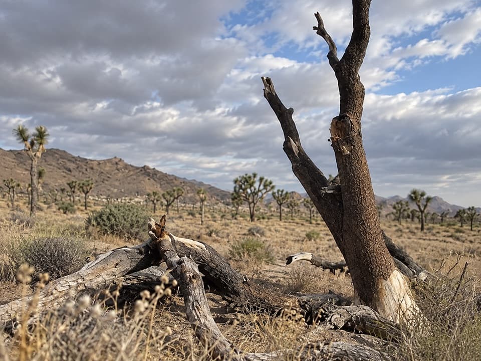 ModerateStubbe Springs Loop Trail12 mi · 6 hr · 1.1 mi awayA long, sandy desert loop to a green spring valley.
 ChallengingRyan Mountain Trail3 mi · 2 hr · 1.4 mi awayA steady ridge climb to a 360-degree desert panorama
 EasyHidden Valley Nature Trail1 mi · 1 hr · 1.8 mi awayA one-mile loop into a rock-walled cattle-rustler hideout.
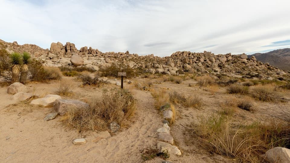 ModeratePaac Kü̱vü̱hü̱’k Trail4.5 mi · 3 hr · 2.4 mi awayA long, exposed traverse through open desert and scattered boulders.
 EasyBarker Dam Nature Trail1.3 mi · 1 hr · 2.6 mi awayA short boulder loop to a ranching-era dam
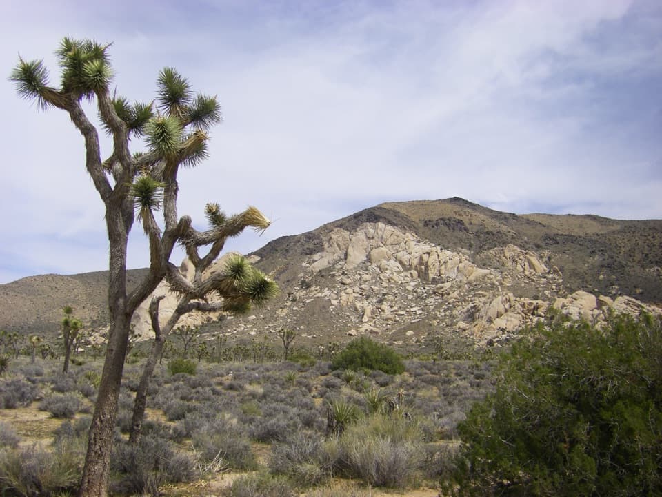 Sight · 0.3 mi awayOyster BarA roadside rock formation with desert views and climbing access.Sight · 0.4 mi awayRyan RanchA short desert walk to the remains of an 1896 adobe homestead.
 Campground · 0.4 mi awayRyan CampgroundCamp among boulders, with a short walk to 1896 ranch ruins.
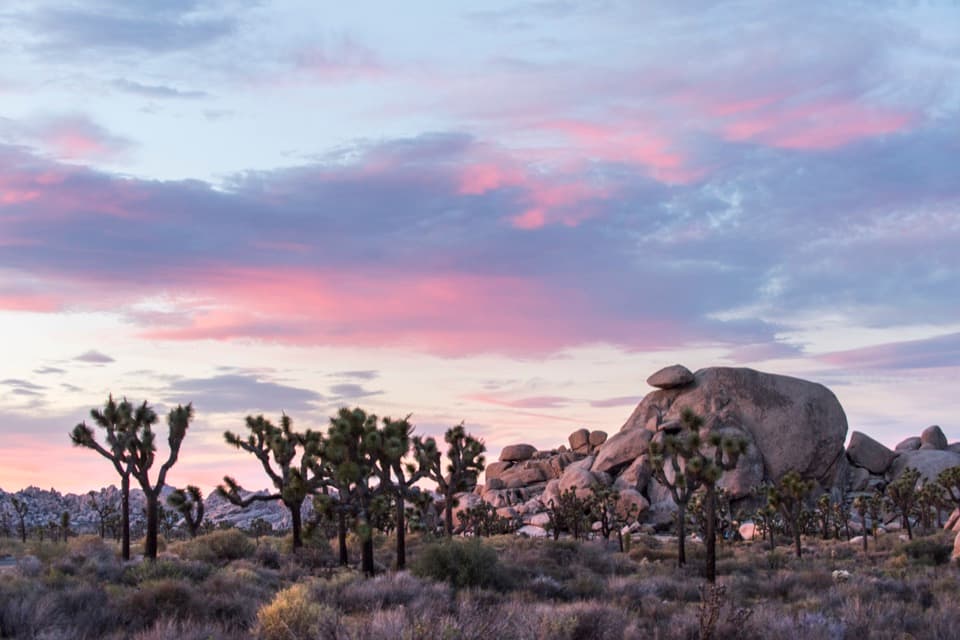 Sight · 0.6 mi awayCap RockA short boulder loop with a cap-shaped rock beside Joshua trees.
 Sight · 0.9 mi awayHall of HorrorsTwo tight slots tucked into a maze of climbable boulders.
 Sight · 1.1 mi awayRyan MountainClimb through ancient banded rock for a 360-degree summit view.
 Sight · 1.4 mi awayRyan Mountain Stargazing AreaA no-hike night-sky stop with parking, restroom and trail access.
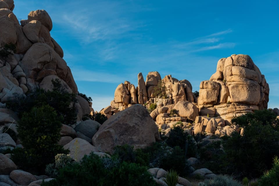 Picnic area · 1.7 mi awayHidden Valley Picnic AreaA rocky picnic spot that doubles as a designated stargazing stop.
Parkwolf’s Joshua Tree ranking

The audio tour guide for the drive, plus offline maps, trails, and wildlife heatmaps for when the signal drops.


