
Place · 0.7 mi away
Challenging
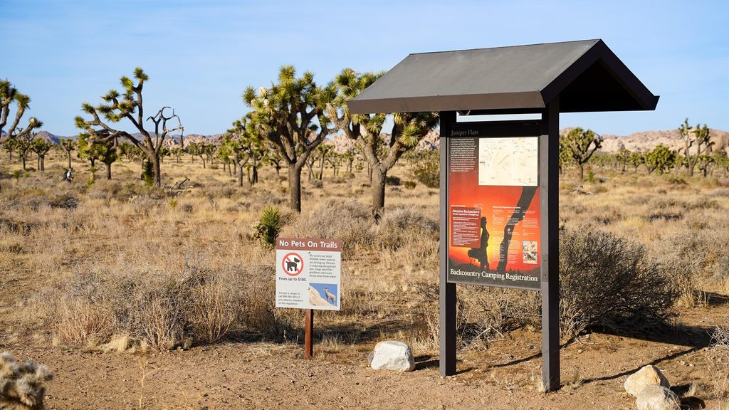
This is a quiet, backcountry “lollipop” loop of about 12 miles total that starts from the Juniper Flats area and briefly uses the California Riding & Hiking Trail before branching into wilder country. Expect big-sky desert, long miles, and real solitude. It’s rewarding if you’re prepared; it’s punishing if you’re not.
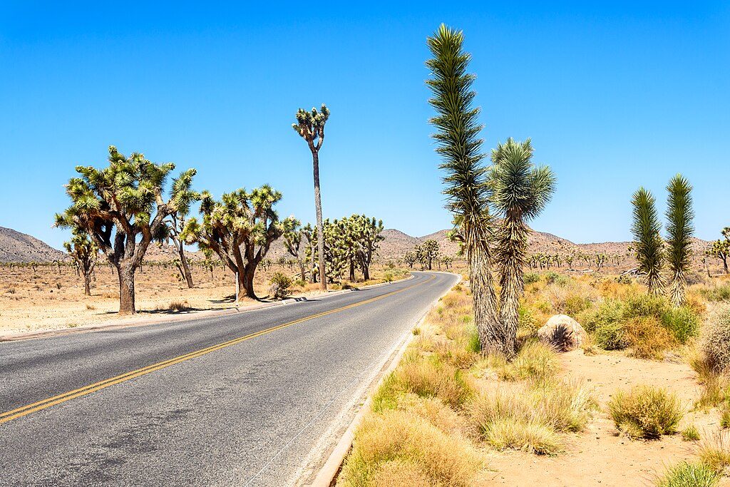
The route transitions from open valleys of creosote and Joshua trees into higher terrain with pinyon and juniper. A short spur leads to the Fan Canyon Overlook with broad views toward the Coachella Valley. You’ll also pass the lush oasis of Stubbe Spring—an odd, green pocket in a world of rock and sand—and from higher points you can spot big peaks like San Gorgonio, San Jacinto, and Quail Mountain on clear days.
Footing runs the gamut: firm desert singletrack, stretches of soft sand, and occasional rocky bits. The scenery changes often—broad washes, granitic outcrops, and burned patches that tell some of the landscape’s fire history. Many hikers find the early sandy miles tedious but love the ridge climbs and variety later on. Cumulative elevation gain tops 1,000 feet, so it’s a long, moderately strenuous day rather than a technical one.
Do not count on the spring for water—carry everything you need. Signage and guide markers exist but can be misleading around the spring; the main path tends to bypass it. Watch for wash crossings where the tread can fade; it’s easy to drift down a wash instead of picking up the trail on the far bank. Bring a map and GPS and use them.
Spring, fall, and winter offer reasonable temperatures and, in spring, the possibility of wildflowers. Summer is a hard no—exposed terrain and extreme heat make this a risky choice.
No permit is required for day hiking. Backpacking permits are required for overnights, and camping is not allowed near the spring due to sensitive habitat. Pets are not allowed on this backcountry trail.
Experienced day hikers who want a quieter, longer loop with real desert character. If you’re after an easy crowd-pleaser, look elsewhere; if you want miles, views, and a rare desert spring (that you have to find), this one delivers.
Park at the Juniper Flats area along Keys View Road; this is the trailhead for the loop.
Long, exposed backcountry loop with limited shade and no reliable water; carry all you need. Trail can be faint in washes and the spring is unsigned—use a map/GPS. Summer heat can be dangerous.
Place · 0.7 mi away
Place · 0.9 mi away
Place · 0.9 mi away
Place · 0.9 mi away
Easy · 0.8 mi away
Easy · 1 mi away
Moderate · 1.8 mi away
Easy · 1.9 mi away

Parkwolf Tour Guide
