Parking
Use Hidden Valley Picnic Area, the trailhead for this loop. The lot can fill quickly on busy days; aim to arrive before 9 a.m. on busy weekends and holidays.

#1 of 60 trails in Joshua Tree
Joshua Tree National Park, CA
A one-mile loop into a rock-walled cattle-rustler hideout.
Overview
Map & elevation
Plan your hike

The highest, rockiest slopes around here are a summer buffet for grizzly bears.
Joshua Tree Tour Guide
Parkwolf is a GPS audio tour guide for Joshua Tree National Park. As you drive, it chimes in with what’s ahead: hidden gems, upcoming stops, history, geology, and wildlife, right through your car’s speakers.
See the Joshua Tree audio tourRecorded for this trailhead
Hidden Valley Picnic and Loop“You're approaching Hidden Valley, a good place to stop for a picnic among Joshua trees and huge granite boulders. The tables sit in dirt pockets between the rocks, so you can enjoy the setting without doing the hike.”
Plays as you drive up to this trailhead in the Parkwolf Joshua Tree Tour Guide.
More stories near here in the app
“Fantastic app with many points of information… It’s great to just turn on while you’re driving and it gives you an audio tour of the national Park. We love it!!!!”


Trail guide
Hidden Valley Nature Trail is a one-mile loop from Hidden Valley Picnic Area into a basin walled by huge rounded boulders. Allow about an hour; the route gains about 100 feet. It is one of Joshua Tree’s best short walks if you want to get among the formations instead of looking at them from the road. The signed circuit adds interpretive panels and a chance to spot Cow Rock without taking half a day. Easy means short and not steep for long stretches, not smooth or paved: stone steps and uneven rock at both ends make this a rougher stroll than a paved nature path.
The trail starts at the northwest edge of the parking area. A short flight of stone steps climbs through a narrow gap; the first climb is over in less than a tenth of a mile. Once you pass through, the walls screen the view outward and the valley opens around you. The signed path then circles through the basin on dirt and rock, mostly at a gentle grade. Watch for trail markers at the early junctions. Side paths lead toward nearby climbing areas, and a worn line through the boulders is not always part of the loop.
The circuit passes large formations before dropping toward the broader valley floor. You get patches of sandy ground among low shrubs and yucca, then the rock walls close in again as the route bends back toward the entrance. Take time to look at the formations from both sides; the pocket of desert feels much larger once you are inside it. Optional scrambling on the surrounding boulders adds a different outing, but it is not needed for the marked walk.
Cow Rock is a cow-shaped formation on a wall above the trail, so look up from the walking surface as you make the circuit. Cattle rustlers used this secluded valley in the late 1800s and early 1900s to keep cattle hidden behind its rock walls. That history fits the place’s name and its tucked-away setting. The interpretive panels also cover local plants and animals, making this a good loop to take slowly rather than hurry through for a single photo.
Joshua Tree’s bedrock is mostly crystalline igneous and metamorphic rock. The park’s geologic story includes tectonic movement, volcanism, mountain building, and erosion. Here, the close-packed boulders surround pockets of sandy ground, giving you a compact look at the park’s rugged rock landscape. Signs along the route point out local geology and natural history; the valley itself is the best part of the lesson.
Park at Hidden Valley Picnic Area; it is the trailhead. The lot fills quickly on busy days, so plan to arrive before 9 a.m. on busy weekends and holidays. Restrooms, including an accessible restroom and a vault or composting toilet, are at the picnic area, along with an information board. A water source is not listed. There is very little shade and no cell service, so bring water and sun protection even for this short walk. Dogs are not allowed on park trails.
Wildlife
 129 sightingsBighorn SheepMost seen around 6 PMSighting map
 15 sightingsGolden EagleMost seen around 10 AMSighting map
 413 sightingsDesert TortoiseMost seen around 8 AMSighting map
 275 sightingsCoyoteMost seen around 6 AMSighting map
 47 sightingsBobcatMost seen around 6 PMSighting map
 32 sightingsMule DeerMost seen around 6 AMSighting map
Sighting maps show where each species has been reported across Joshua Tree. Wildlife moves, so no sighting is guaranteed.
Keep exploring
 EasyMinerva Hoyt Trail3 mi · 1.5 hr · 1.2 mi awayJoshua trees and granite on a three-mile Hidden Valley out-and-back.
 EasyCap Rock Nature Trail0.4 mi · 36 min · 1.6 mi awayA quick loop among boulders, Joshua trees, and trail signs.
 EasyBarker Dam Nature Trail1.3 mi · 1 hr · 1.7 mi awayA short boulder loop to a ranching-era dam
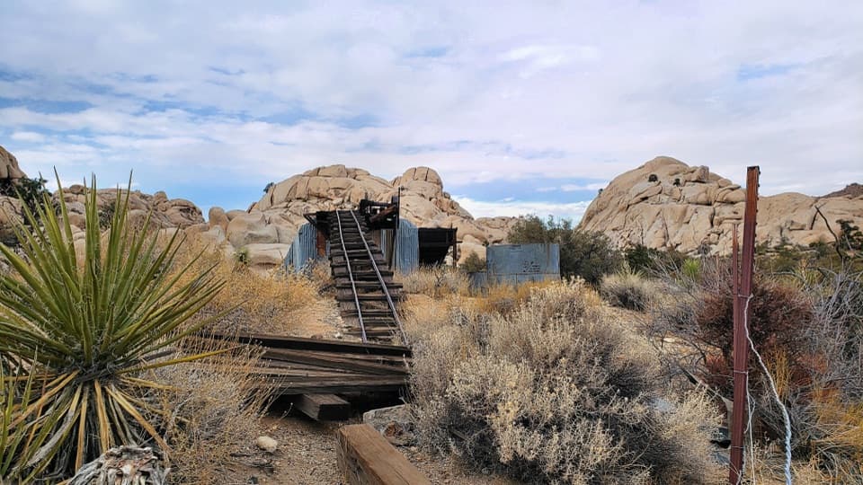 ModerateWall Street Mill Trail2.2 mi · 1 hr · 1.8 mi awayShort, sandy path to a historic gold mill and rusted cars.
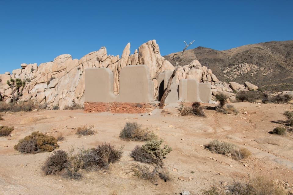 EasyRyan Ranch Trail1 mi · 1 hr · 1.8 mi awayAn easy mile to the old adobe ranch and fallen windmill.
 ChallengingRyan Mountain Trail3 mi · 2 hr · 2 mi awayA steady ridge climb to a 360-degree desert panorama
 ModerateBoy Scout Trail8 mi · 4.5 hr · 2.2 mi awayAn eight-mile desert crossing from Joshua trees to Indian Cove.
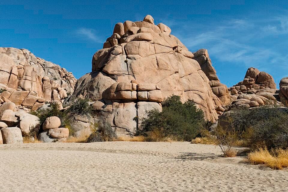 ModerateWillow Hole Trail7 mi · 4 hr · 2.2 mi awayFollow sandy washes to a seasonal willow grove.
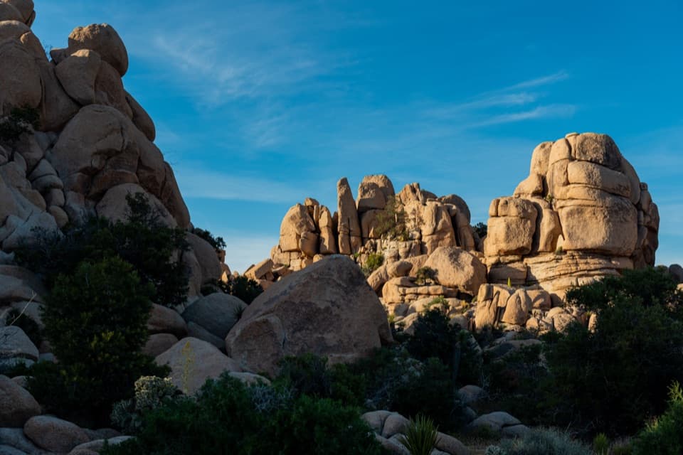 Picnic area · 0.1 mi awayHidden Valley Picnic AreaA rocky picnic spot that doubles as a designated stargazing stop.
 Sight · 0.3 mi awayIntersection RockWatch climbers on 40-plus routes, then roam among the boulders.
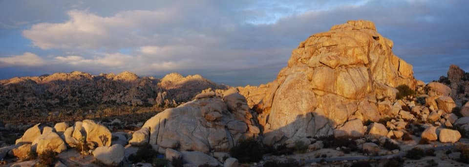 Campground · 0.5 mi awayHidden Valley CampgroundSleep among boulders, with climbing routes beside some campsites.
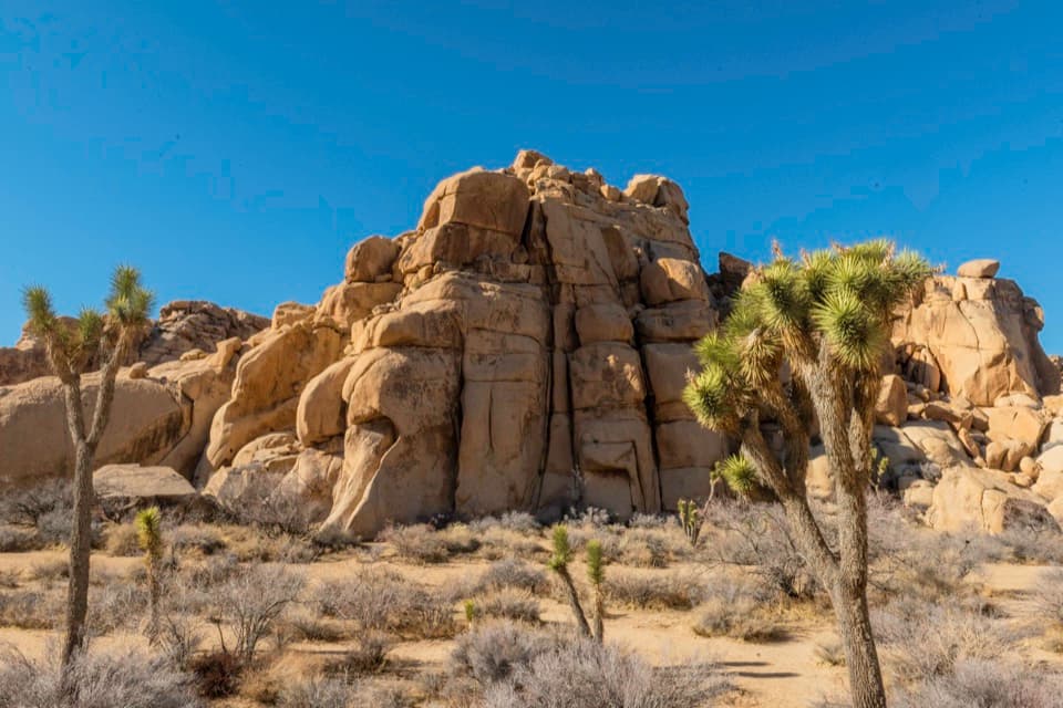 Sight · 1 mi awayEcho TA central cluster of climbs between Hidden Valley and Barker Dam.
 Sight · 1 mi awayHemingway ButtressWalk among granite cracks that have drawn climbers since the 1940s.
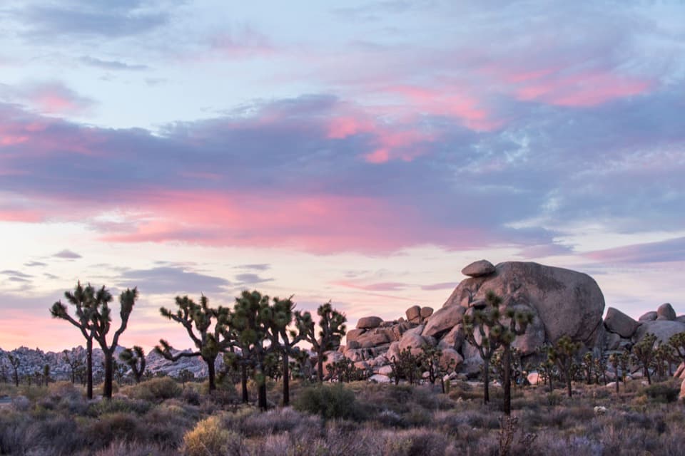 Sight · 1.6 mi awayCap RockA short boulder loop with a cap-shaped rock beside Joshua trees.
 Sight · 1.6 mi awayHall of HorrorsTwo tight slots tucked into a maze of climbable boulders.
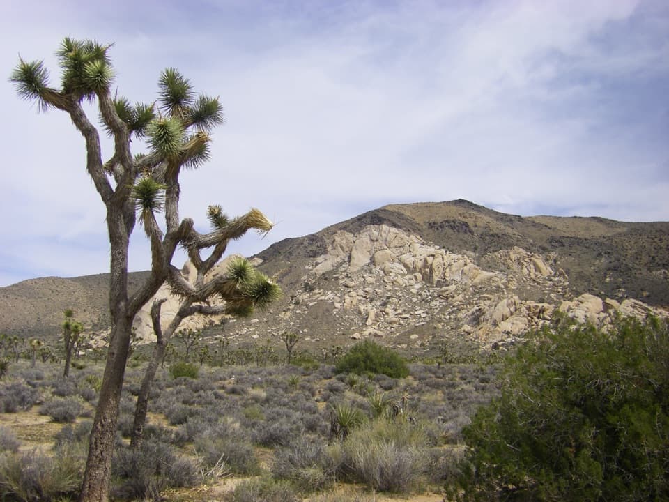 Sight · 1.7 mi awayOyster BarA roadside rock formation with desert views and climbing access.
Parkwolf’s Joshua Tree ranking

The audio tour guide for the drive, plus offline maps, trails, and wildlife heatmaps for when the signal drops.



