
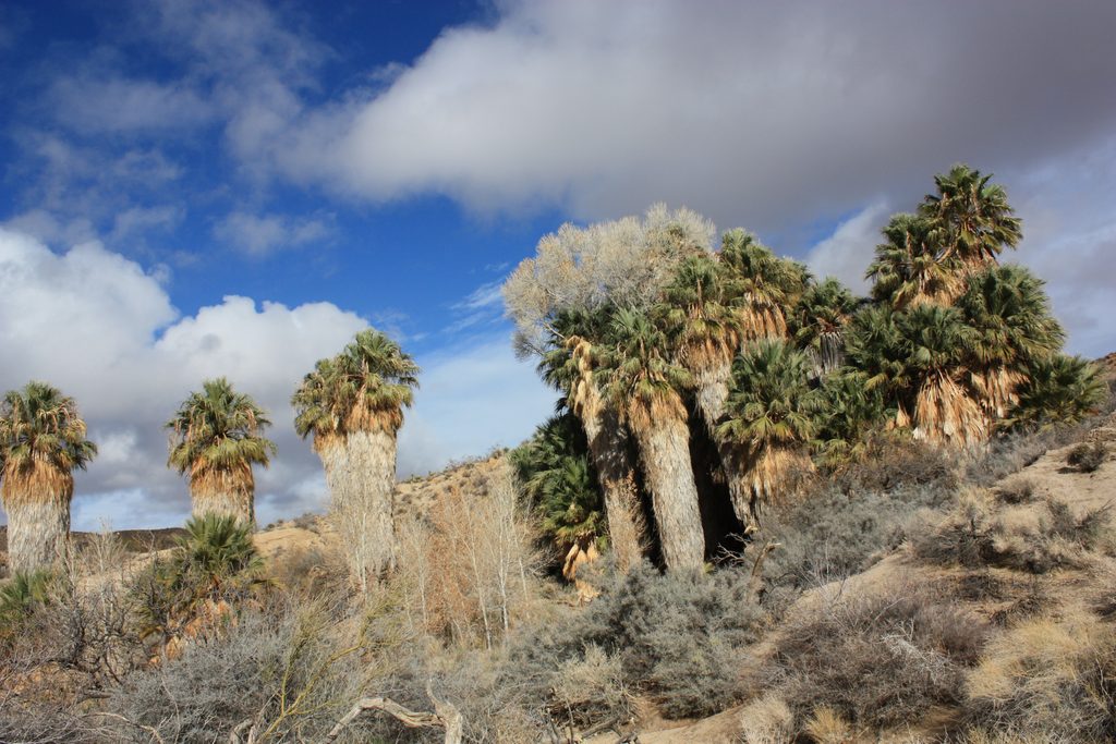
Place · 0.1 mi away
Moderate
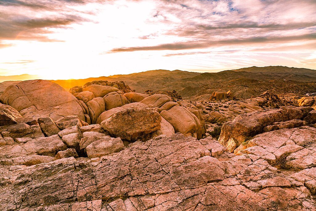
A compact desert sampler in Joshua Tree’s southern district, the Mastodon Peak Loop packs views, geology, and mining history into about 3.0 miles total. Starting and finishing at the Cottonwood Spring Oasis lot, the loop is moderate overall with roughly a few hundred feet of gain and an optional, short rock scramble to tag the summit. Shade fades quickly after the lush oasis, so plan for full sun and heat.
From the Cottonwood Spring parking area, begin on the well-signed Lost Palms Oasis Trail, then take the marked left for Mastodon to start the loop. Many hikers prefer counterclockwise to hit the peak first, then swing by the historic Mastodon Mine before closing the loop back at the lot. Expect dirt singletrack, sandy washes, and rocky sections, including some stone steps near the high point. The summit scramble is brief and non-technical for most, but it is unmaintained—skip it if exposure isn’t your thing.
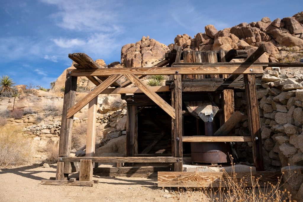
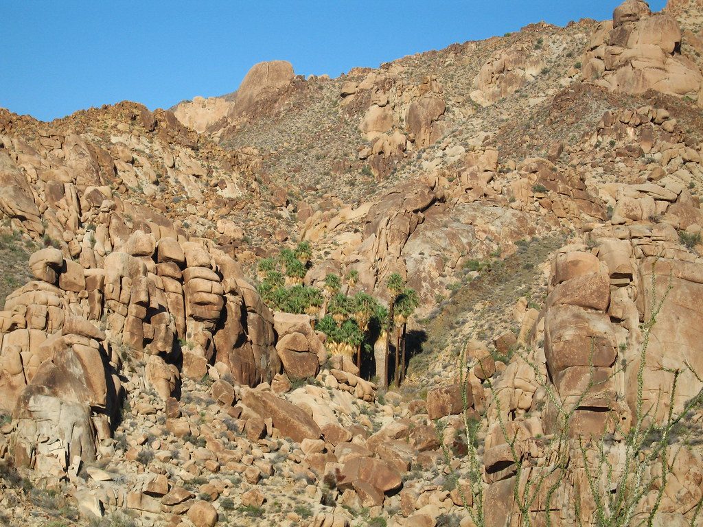
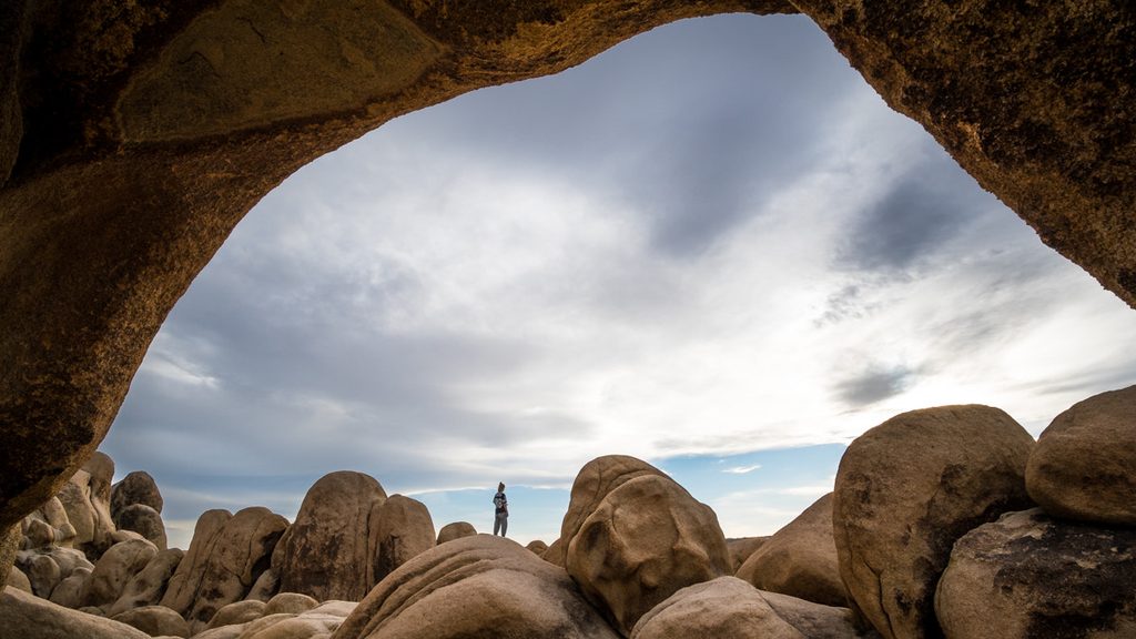
The trail launches through the Cottonwood Spring Oasis—palms, a hint of water, and cooler air—then quickly transitions to exposed desert dotted with rugged granite outcrops and monzogranite boulder stacks. From Mastodon Peak, you’ll get broad, 360-degree views across the park’s southern terrain. The loop also passes Mastodon Mine, where remnants of early 20th-century gold mining add a dose of history. Keep an eye out for lizards, seasonal wildflowers, and, with luck and distance, desert bighorn on surrounding slopes.
Fall through early spring is prime for pleasant temperatures and clearer air. Spring often brings wildflower color. Summer is brutally hot—start at sunrise and keep it short. Midweek mornings are typically quieter; golden hour light makes the granite glow and softens the scenery for photos.
Length: 3.0-mile loop (total). Plan 1.5–2.5 hours depending on pace, photos, and whether you scramble to the summit.
Park at Cottonwood Spring Oasis parking lot at the end of Cottonwood Springs Road; large lot with a backcountry registration board at the start.
Intense sun and heat with minimal shade; no water on the loop. Limited to no cell service. Short, unmaintained scramble to the summit can be risky if you’re uncomfortable on rock. Watch for rattlesnakes in warm months and expect sandy, uneven footing.
Place · 0.1 mi away
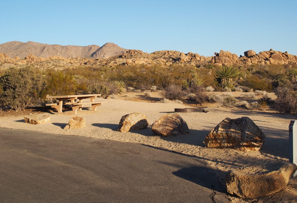
Place · 0.6 mi away
Place · 0.7 mi away
Place · 0.7 mi away
Easy · 0 mi away
Moderate · 0 mi away
Easy · 14.7 mi away
Easy · 21.3 mi away

Parkwolf Tour Guide
