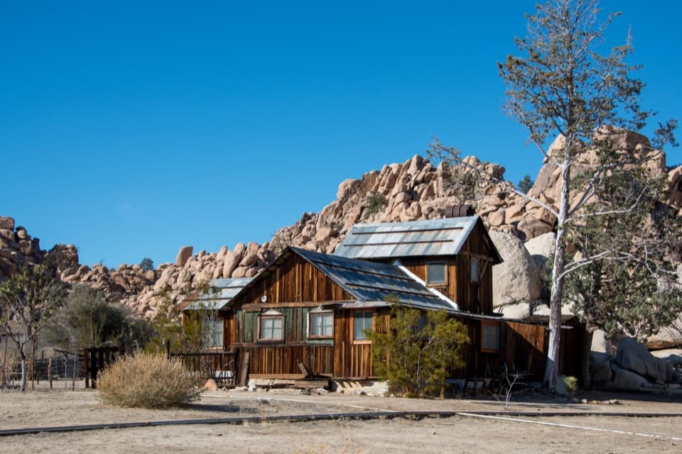
Mastodon Mine in Joshua Tree National Park

Sight · Joshua Tree National Park

Mastodon Mine

A close-up look at mining history on the Mastodon Peak loop.

Photo: Public Domain
Type
Sight
Nearest trail
0.7 mi
Audio stories
5 nearby

Hear the audio tour

Cottonwood Spring for a Short Oasis Stop

Overview

About Mastodon Mine

Why stop

  • Historic mine structures and machinery survive beside the trail.

Heads up

  • It’s a hike-in stop, not a roadside pullout.

Map

Where it is

Loading the Joshua Tree map
Full map
SightMastodon Mine33.73414, -115.79987
Keep this map with you offline in the Parkwolf app

Plan your stop

Before you go

5 active Joshua Tree alerts

  • ClosureOasis of Mara Trail closed past the OasisThe Oasis of Mara Trail is closed past the Oasis due to a heavy flooding event; do not continue beyond the Oasis. Check current park conditions before visiting.Official details
  • ClosureSR 62 and US 95 closed by floodingFlooding has closed portions of SR 62 and US 95; avoid the closed segments.Official details
See all 5 alerts
A park ranger sits on a dash-mounted phone, talking, as Parkwolf’s Tour Guide plays “Army Cutworm Moths: A Grizzly Bear Buffet” on Grand Loop Road below Dunraven Pass in Yellowstone
Parkwolf Tour GuideThe highest, rockiest slopes around here are a summer buffet for grizzly bears.

Joshua Tree Tour Guide

Your drive to Mastodon Mine, narrated.

Parkwolf is a GPS audio tour guide for Joshua Tree National Park. As you drive, it chimes in with what’s ahead: hidden gems, upcoming stops, history, geology, and wildlife, right through your car’s speakers.

See the Joshua Tree audio tour

Recorded for this place

Cottonwood Spring for a Short Oasis Stop
0:00 / 0:32
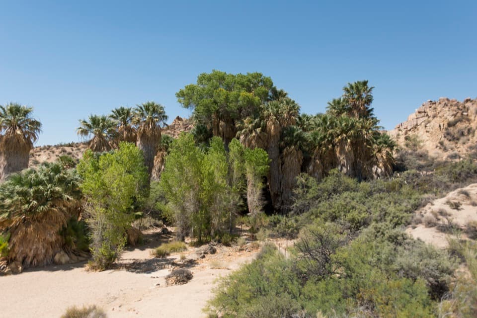
“You're coming up on Cottonwood Spring, an oasis of fan palms and native cottonwoods a short walk from the parking lot. Allow ten to twenty minutes for the easy path, staying outside the protected grove.”

Plays as you drive up to Mastodon Mine in the Parkwolf Joshua Tree Tour Guide.

More stories near here in the app

  • Cottonwood Picnic Area and Campground
  • The Milky Way's Dark Lane
  • The Tortoise Underground
  • Cottonwood Visitor Center: Water, Maps and a View
  • 89 audio storiesacross Joshua Tree’s roads, triggered by GPS as you drive
  • Wildlife heatmapsfor Bighorn Sheep, Golden Eagle, Desert Tortoise, and 13 more
  • Works offlinemaps, 60 trails, 64 places, and audio download before you lose signal
  • CarPlay readysimple controls built for the drive
★★★★★
“Fantastic app with many points of information… It’s great to just turn on while you’re driving and it gives you an audio tour of the national Park. We love it!!!!”
JMJamesApp Store review
Download Parkwolf on the App StoreGet Parkwolf on Google Play

4.7 from 8,600+ ratings

Guide

More about Mastodon Mine

Make it part of the loopMastodon Mine is a small historic mine site on the Mastodon Peak Loop near Cottonwood Spring.

Mastodon Mine is a small historic mine site on the Mastodon Peak Loop near Cottonwood Spring. Its weathered machinery and timber remains make it a good stop if you’re interested in the park’s mining past; this is a hike-in visit, not a roadside pullout.

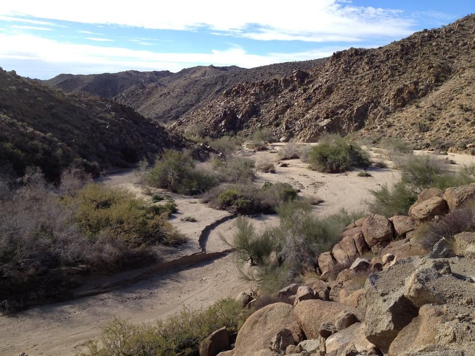
The loop is about 3 miles with 375 feet of elevation gain and takes roughly 2–3 hours. Expect dirt, sand and rock, including steep rocky stretches. There’s no shade or cell service. The park recommends winter, spring and fall; in summer, start before 9 a.m. and bring plenty of water.

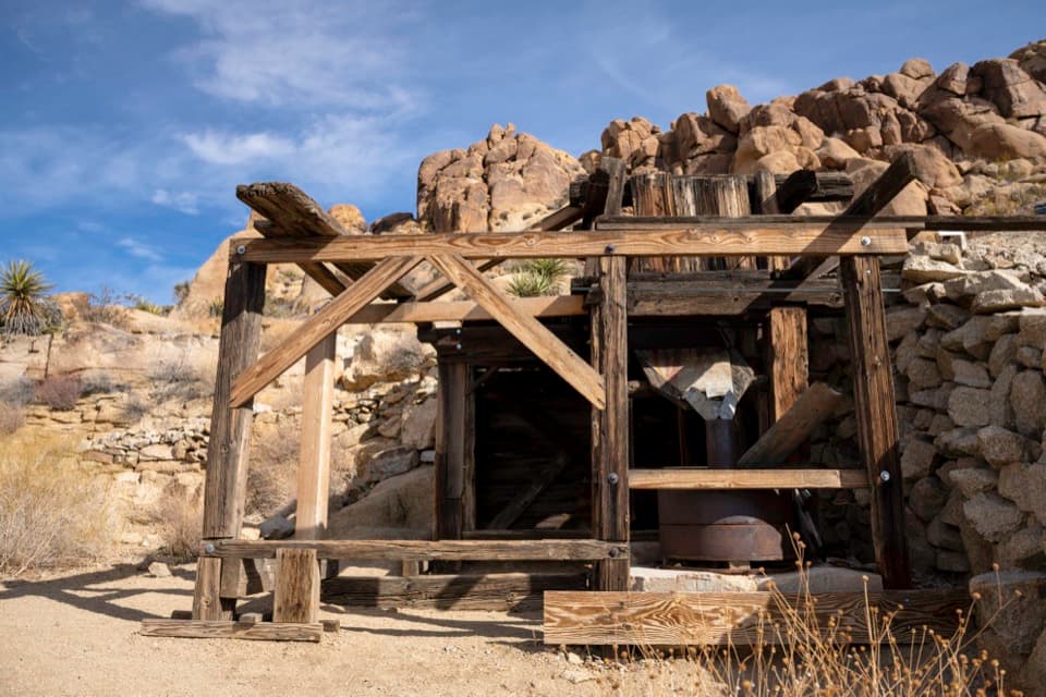
Look at both sides of the trailThe mine remains sit right beside the route.

The mine remains sit right beside the route. Look for a timbered shaft structure and, across the trail, an ore bin and equipment from the crushing operation. Collapsed office timbers and corrugated metal are nearby. The compact layout rewards a slower look at the old machinery and timberwork. Mine shafts and adits are closed to public entry, so stay on the path and view the remains from outside. For a useful photo, take the timbered shaft and the ore bin/crushing remains as separate close views; they sit across the trail from each other.

A 1930s mining claimGeorge W. Hulsey of Indio worked the claim in the 1930s.

George W. Hulsey of Indio worked the claim in the 1930s. It covered about 25 acres, and the Hulsey family continued working it until the park acquired the property in 1971. The ore was crushed with a ball mill. A historical account describes two shafts, about 75 and 20 feet deep; the second one was not located by the account’s author.

Wildlife

Wildlife in Joshua Tree

All Joshua Tree wildlife maps

Sighting maps show where each species has been reported across Joshua Tree. Wildlife moves, so no sighting is guaranteed.

Parkwolf’s Joshua Tree ranking

Top sights in Joshua Tree

All 64 places
  1. 1Keys ViewSight
  2. 2Skull RockSight
  3. 3Cholla Cactus GardenSight
  4. 4Arch RockSight
  5. 5Barker DamSight
  6. 6Keys RanchSight

Take Parkwolf to Joshua Tree.

The audio tour guide for the drive, plus offline maps, trails, and wildlife heatmaps for when the signal drops.

4.7 from 8,600+ ratings

Download Parkwolf on the App StoreGet Parkwolf on Google Play