Parking
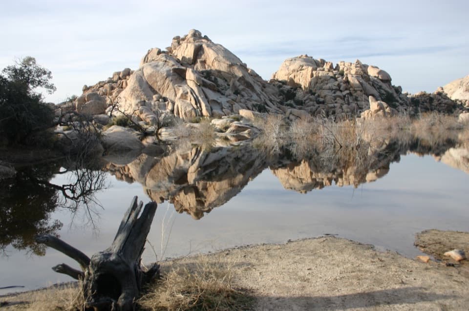
Start at the Lost Palms Oasis Trailhead at the end of Cottonwood Spring Road, about one mile east of Cottonwood Visitor Center. Auto parking is available at the road-end trailhead.

#5 of 60 trails in Joshua Tree
Joshua Tree National Park, CA
A long desert hike ends at palms tucked below a rocky bluff.
Overview
Map & elevation
Plan your hike

The highest, rockiest slopes around here are a summer buffet for grizzly bears.
Joshua Tree Tour Guide
Parkwolf is a GPS audio tour guide for Joshua Tree National Park. As you drive, it chimes in with what’s ahead: hidden gems, upcoming stops, history, geology, and wildlife, right through your car’s speakers.
See the Joshua Tree audio tourRecorded for this trailhead
Cottonwood Spring for a Short Oasis Stop“You're coming up on Cottonwood Spring, an oasis of fan palms and native cottonwoods a short walk from the parking lot. Allow ten to twenty minutes for the easy path, staying outside the protected grove.”
Plays as you drive up to this trailhead in the Parkwolf Joshua Tree Tour Guide.
More stories near here in the app
“Fantastic app with many points of information… It’s great to just turn on while you’re driving and it gives you an audio tour of the national Park. We love it!!!!”


Trail guide
Lost Palms Oasis Trail is a 7.5-mile round-trip out-and-back from the road-end trailhead at Cottonwood Spring. It crosses open desert washes and rocky ground before dropping to a fan-palm oasis in Lost Palms Canyon. Budget about four hours, then add time if you want to linger among the palms. Published totals range from about 7.2 to 7.5 miles, so plan around the longer figure. This is a good choice if you want a long desert day with an unusual destination; it is a poor fit for a quick stop or a shaded stroll.
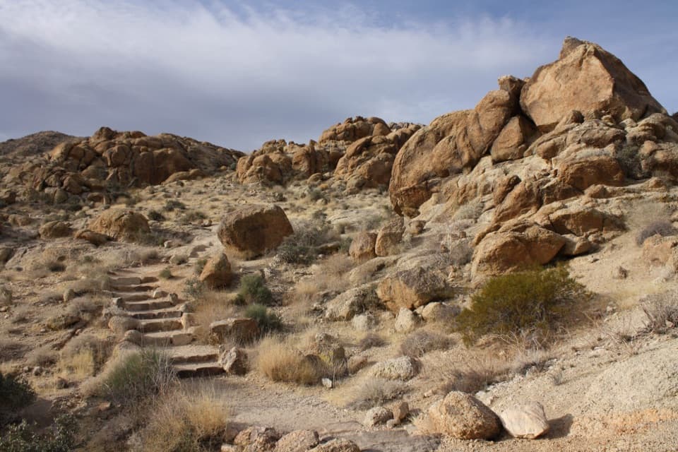
The first half mile shares a path with the Mastodon Peak Loop before Lost Palms branches away. That is only a shared approach; the 7.5-mile figure does not include a Mastodon Peak side trip. From there, the route heads east over coarse sand, crossing in and out of washes and over low, rocky rises. Much of the approach is fairly level, but the repeated rises and rough footing make the miles add up. Trail markers help where a wash spreads out. Keep to the marked line instead of assuming the wash bottom is the route, and carry an offline map for the open stretches.
Spring can bring yellow wildflowers across the desert slopes. They are a seasonal bonus, not a reason to expect a carpet of blooms every year. The long approach moves from open washes toward the canyon rim, where the main view finally opens over the palms.
Near the far end, the route descends through a canyon to a bluff above the oasis. From the overlook, a steep, rocky path drops down among the palms. The climb back up is the hardest part of the outing, and the park describes it as strenuous. You can turn around at the bluff and see the palms from above, but that leaves out the short, rough drop into the grove itself. If you go down, save enough energy for the return climb.
For a photograph, frame the palms with the canyon walls from the bluff so the grove sits in its rugged setting. The palms are clustered in the canyon, not spread across a broad lawn or lake shore.
Cottonwood Spring is a smaller oasis beside the trailhead; Lost Palms is a separate destination several miles farther on. Lost Palms is one of the park's five fan-palm oases. A permanent water source supports the palms and other plants and gives birds and mammals a reason to gather there. Bighorn sheep are seen occasionally, but wildlife is never guaranteed. Treat the oasis as habitat, not as a place to refill your drinking water.
There is very little shade on the route. The park advises against hiking it in summer heat, and its trail guidance is to bring adequate food and water and protect yourself from the sun. Carry all the water you need for the full round trip; the oasis is not a reliable drinking-water stop. Pets are not allowed on park hiking trails.
Start at the Lost Palms Oasis Trailhead at the end of Cottonwood Spring Road, about one mile east of Cottonwood Visitor Center. The parking area is also the access for the short walk to Cottonwood Spring. If you are going only to see palms and do not want a long exposed hike, the spring beside the lot is a much shorter stop, though it is not the Lost Palms destination.
Wildlife
 129 sightingsBighorn SheepMost seen around 6 PMSighting map
 15 sightingsGolden EagleMost seen around 10 AMSighting map
 413 sightingsDesert TortoiseMost seen around 8 AMSighting map
 275 sightingsCoyoteMost seen around 6 AMSighting map
 47 sightingsBobcatMost seen around 6 PMSighting map
 32 sightingsMule DeerMost seen around 6 AMSighting map
Sighting maps show where each species has been reported across Joshua Tree. Wildlife moves, so no sighting is guaranteed.
Keep exploring
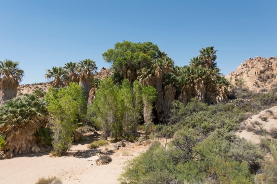 EasyCottonwood Spring Nature Trail0.2 mi · 15 min · At the trailheadFan palms and a Cahuilla mortar, a few minutes from the lot.
 ModerateCottonwood Spring and Mastodon Peak Loop2.4 mi · 2 hr · At the trailheadA 2.4-mile loop through bouldery canyons and old mine ruins.
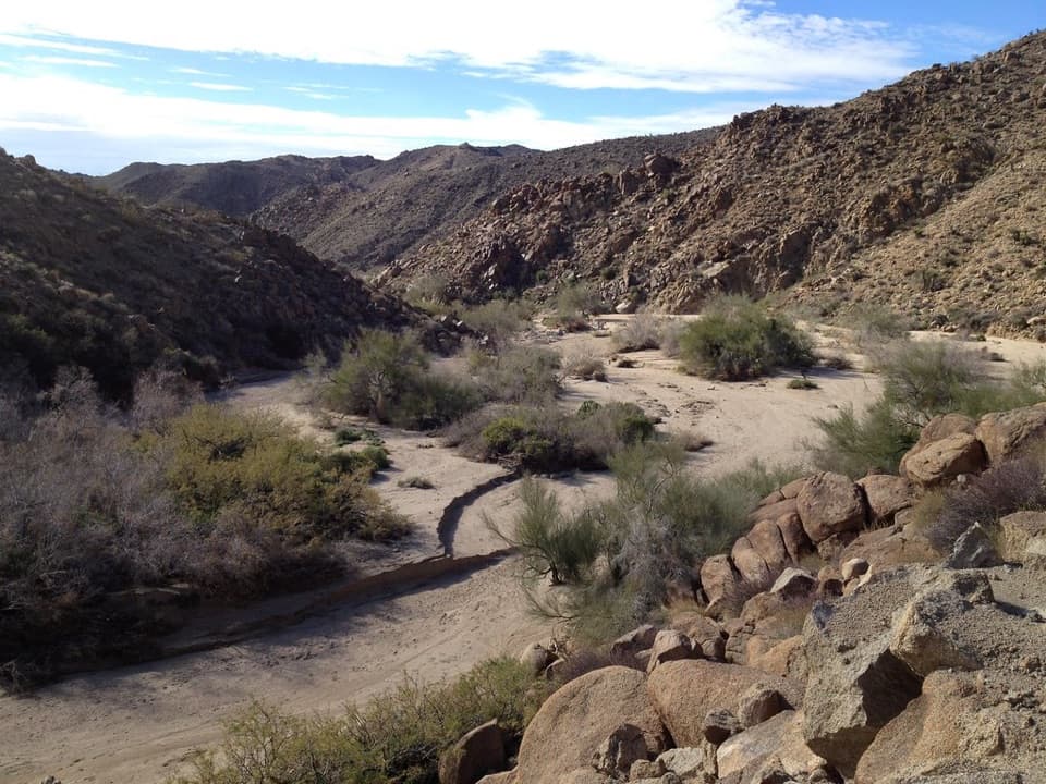 EasyMoorten’s Mill Trail1.2 mi · 1 hr · At the trailheadFollow Cottonwood Wash to a five-stamp mill site.
 ChallengingConejo Well Trail13.6 mi · 8.5 hr · At the trailheadA remote desert roadbed to Conejo Well, with hard navigation.
 EasyBajada Nature Trail0.3 mi · 18 min · 3.9 mi awayA short, flat loop through Colorado Desert plant life.
 EasyCholla Cactus Garden Nature Trail0.3 mi · 21 min · 14.7 mi awayA quarter-mile loop through thousands of teddy-bear cholla.Sight · 0.1 mi awayCottonwood SpringPalm oasis, Cahuilla mortars and gold-mill remains, steps from the road.
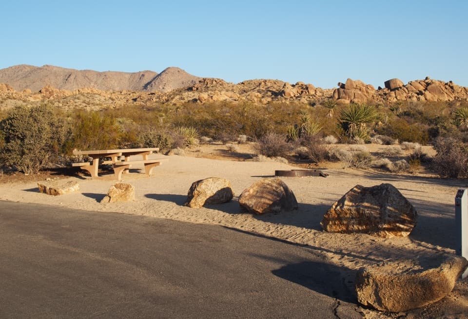 Campground · 0.5 mi awayCottonwood CampgroundDark-sky camping with a signed path to Cottonwood Spring.
 Picnic area · 0.6 mi awayCottonwood Picnic AreaCovered tables make this a useful meal stop in the southern park.
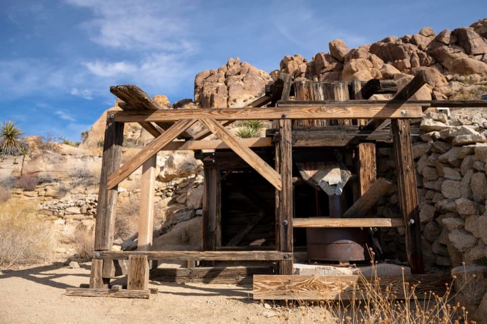 Sight · 0.7 mi awayMastodon MineA close-up look at mining history on the Mastodon Peak loop.
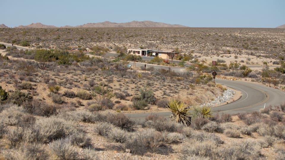 Visitor center · 1.1 mi awayCottonwood Visitor CenterMaps, drinking water, and ranger advice make this a useful first stop.
 Sight · 3.2 mi awayLost Palms OasisA rare palm oasis, reached only after a long desert hike.
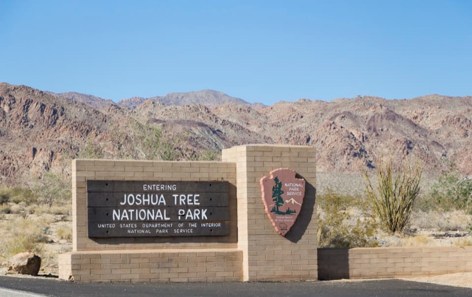 Sight · 4.3 mi awaySouth Entrance Welcome SignA wooden welcome sign against the Colorado Desert and rocky peaks.
 Scenic pullout · 8.6 mi awayPinto Basin PulloutA broad basin view with dark skies worth staying for.
Parkwolf’s Joshua Tree ranking

The audio tour guide for the drive, plus offline maps, trails, and wildlife heatmaps for when the signal drops.