Parking
Start at Dales Picnic Area, the named access for the walk. Public toilets and barbecue facilities are in the picnic area; national park entry fees apply.

Karijini National Park, WA
Follow the rim for Dales Gorge's banded cliff views.
Overview
Map & elevation
Plan your hike

The highest, rockiest slopes around here are a summer buffet for grizzly bears.
Karijini Tour Guide
Parkwolf is a GPS audio tour guide for Karijini National Park. As you drive, it chimes in with what’s ahead: hidden gems, upcoming stops, history, geology, and wildlife, right through your car’s speakers.
See the Karijini audio tourRecorded for this trailhead
Circular Pool Lookout and Dales Picnic Area“You’re approaching Circular Pool Lookout and Dales Picnic Area, a good stop for seeing Dales Gorge from above.”
Plays as you drive up to this trailhead in the Parkwolf Karijini Tour Guide.
More stories near here in the app
“Fantastic app with many points of information… It’s great to just turn on while you’re driving and it gives you an audio tour of the national Park. We love it!!!!”


Trail guide
Gorge Rim Walk is a 2.4 km return walk from Dales Picnic Area to Fortescue Falls Lookout and back, with several views into Dales Gorge. It passes Circular Pool Lookout but stays on the rim, making it the shorter choice if you want the gorge scenery without going down to the gorge floor. Allow about 1–2 hours, with extra time if you stop at the viewpoints.
White trail markers lead from the picnic area along a gently winding track. Snappy gums cluster near the start; closer to the cliff, native cypress provides patches of shade. The route has gentle slopes and some sections of steps. It reaches several natural viewpoints before Fortescue Falls Lookout, then returns along the same rim track. Stay back from the gorge edge and use the established viewpoints for the views across the layered walls.
The iron-rich and silica bands in Karijini's rocks formed under an ancient sea roughly 2.5–2.0 billion years ago. Oxygen released by early photosynthetic organisms reacted with dissolved iron, producing the repeated layers now visible in the gorge walls. The gorge itself is much younger: uplift raised the Hamersley Plateau, and flowing water cut into the hard rock over millions of years. This walk is on Banyjima, Yinhawangka and Kurrama Country.
Dales Picnic Area is the named start, with public toilets and barbecue facilities in the picnic area; national park entry fees apply. Carry your own water and snacks. Pets are not permitted in the national park.
Wildlife
 44 sightingsDingoMost seen around 6 PMSighting map
 18 sightingsRock WallabyMost seen around 6 AMSighting map
 15 sightingsMulga SnakeMost seen around 7 PMSighting map
 36 sightingsHamersley Rock MonitorMost seen around 9 AMSighting map
 13 sightingsWestern BowerbirdMost seen around 7 AMSighting map
 34 sightingsChildren's PythonMost seen around 8 PMSighting map
Sighting maps show where each species has been reported across Karijini. Wildlife moves, so no sighting is guaranteed.
Keep exploring
 ModerateDales Gorge Loop2.8 km · 3 hr · 0.9 km awayRim views, red-rock pools, then a rough walk through the gorge
 ModerateJubura (Fern Pool)1.4 km · 1.5 hr · 0.9 km awayA shady pool with a waterfall, after a steep stair climb.
 ModerateJubula (Fortescue Falls)0.8 km · 1 hr · 0.9 km awayAn 800 m return to one of Karijini’s few permanent waterfalls.
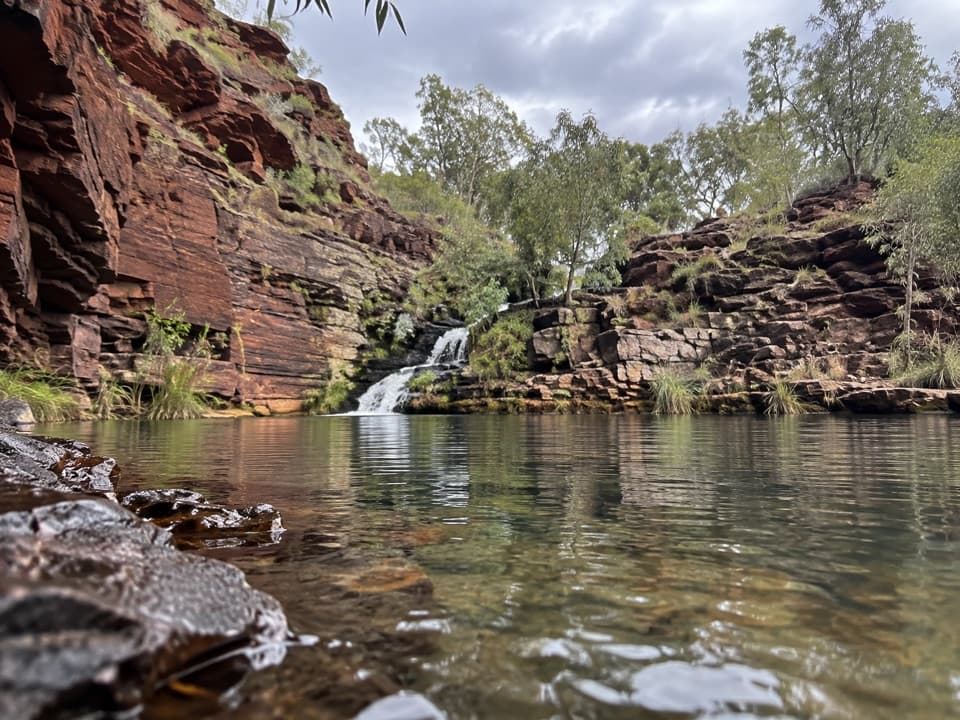 ChallengingNgirribungunha (Dales Gorge) Trail2.6 km · 2 hr · 1.1 km awayA rocky creek-side scramble beneath Dales Gorge’s ancient iron bands.
 ModerateNhamarrunha (Kalamina Gorge)3 km · 3 hr · 17.6 km awayRed walls, a tucked-away pool, and a rocky ledge walk.
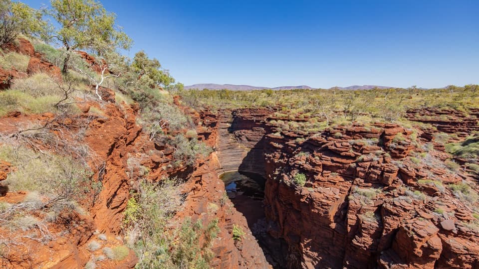 Sight · 0.1 km awayCircular Pool LookoutRed gorge walls plunge around 100 metres below a rim lookout.
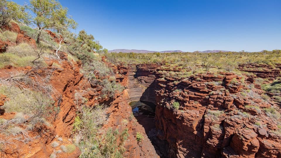 Sight · 0.1 km awayCircular PoolA shaded pool beneath Karijini's layered red gorge walls.
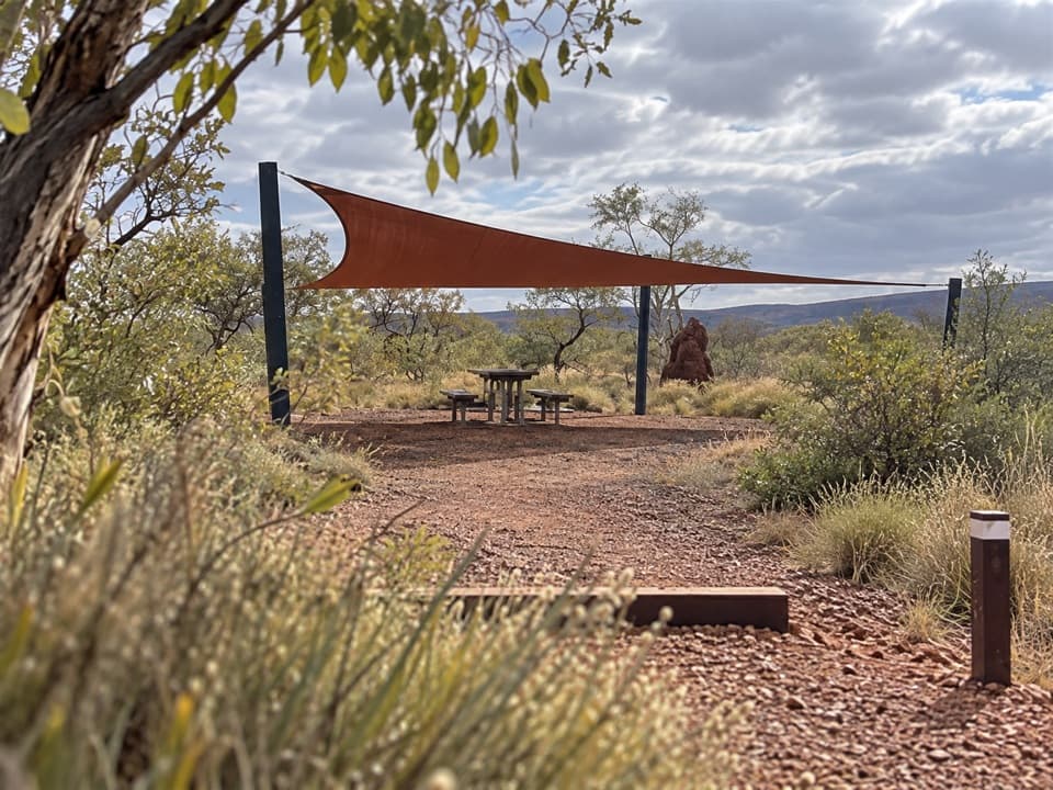 Picnic area · 0.2 km awayDales Picnic AreaA practical launch point for the Dales rim walk and gorge pools.
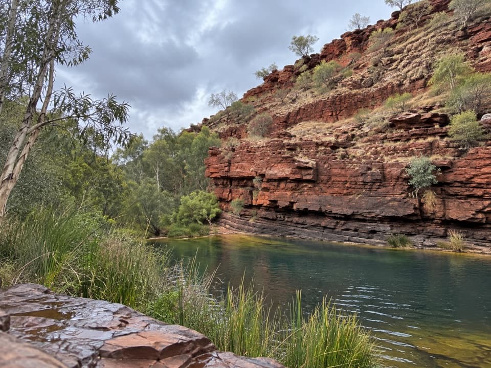 Sight · 0.3 km awayThree Ways LookoutRed-walled Dales Gorge opens below this named rim viewpoint.
 Sight · 0.9 km awayFortescue Falls LookoutAn easy rim view of a spring-fed Pilbara waterfall.
 Sight · 1.1 km awayFortescue FallsA spring-fed waterfall rewards a steep descent to a fern-lined pool.
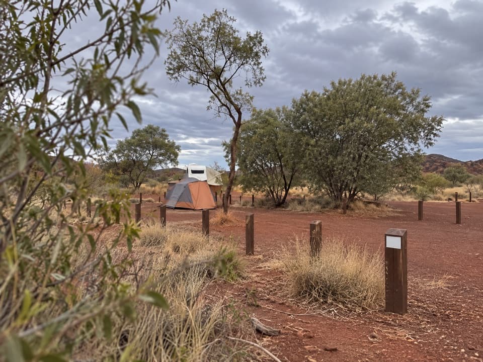 Campground · 1.2 km awayDales CampgroundA roomy base for Fortescue Falls, Fern Pool and Circular Pool.
 Sight · 1.4 km awayFern PoolA fern-framed swim in a red, dry gorge.
Parkwolf’s Karijini ranking

The audio tour guide for the drive, plus offline maps, trails, and wildlife heatmaps for when the signal drops.