Overview
About Dales Picnic Area
Why stop
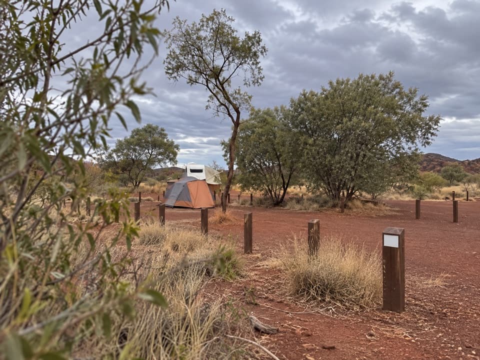
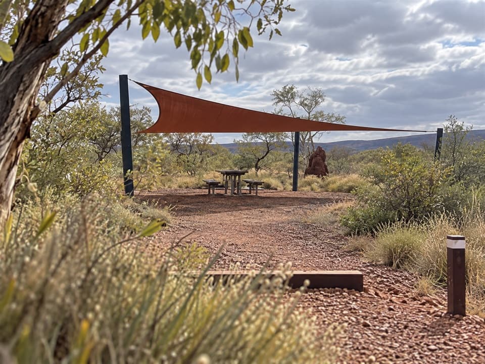
- Tables beneath shade sails make this a useful picnic break.
Map
Where it is

The highest, rockiest slopes around here are a summer buffet for grizzly bears.
Karijini Tour Guide
Your drive to Dales Picnic Area, narrated.
Parkwolf is a GPS audio tour guide for Karijini National Park. As you drive, it chimes in with what’s ahead: hidden gems, upcoming stops, history, geology, and wildlife, right through your car’s speakers.
See the Karijini audio tourRecorded for this place
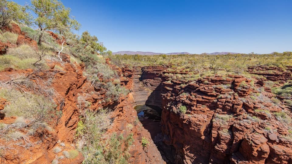
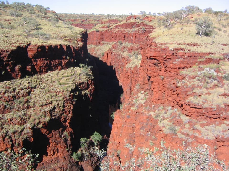
Circular Pool Lookout and Dales Picnic Area“You’re approaching Circular Pool Lookout and Dales Picnic Area, a good stop for seeing Dales Gorge from above.”
Plays as you drive up to Dales Picnic Area in the Parkwolf Karijini Tour Guide.
More stories near here in the app
- Fortescue Falls and Fern Pool
- Dales Campground: A Base for the Eastern Gorges
- The Bee That Shakes a Flower
- Which Way the Water Moved
- 141 audio storiesacross Karijini’s roads, triggered by GPS as you drive
- Wildlife heatmapsfor Dingo, Rock Wallaby, Mulga Snake, and 13 more
- Works offlinemaps, 22 trails, 30 places, and audio download before you lose signal
- CarPlay readysimple controls built for the drive
“Fantastic app with many points of information… It’s great to just turn on while you’re driving and it gives you an audio tour of the national Park. We love it!!!!”


Guide
More about Dales Picnic Area
The day-use baseDales Picnic Area is the day-use picnic stop for the Dales Recreation Area, separate from the…
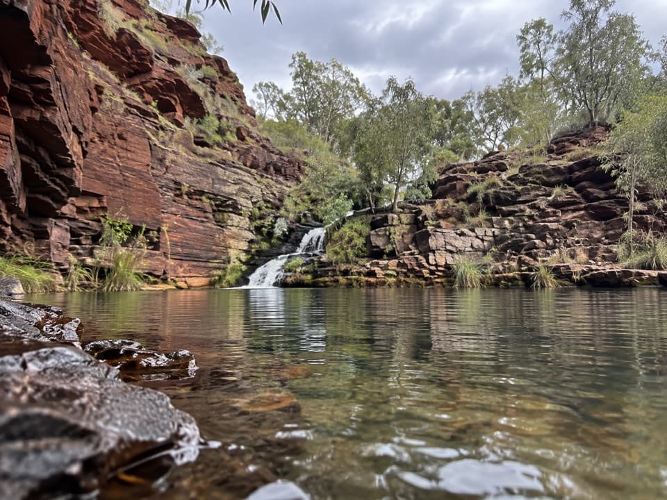
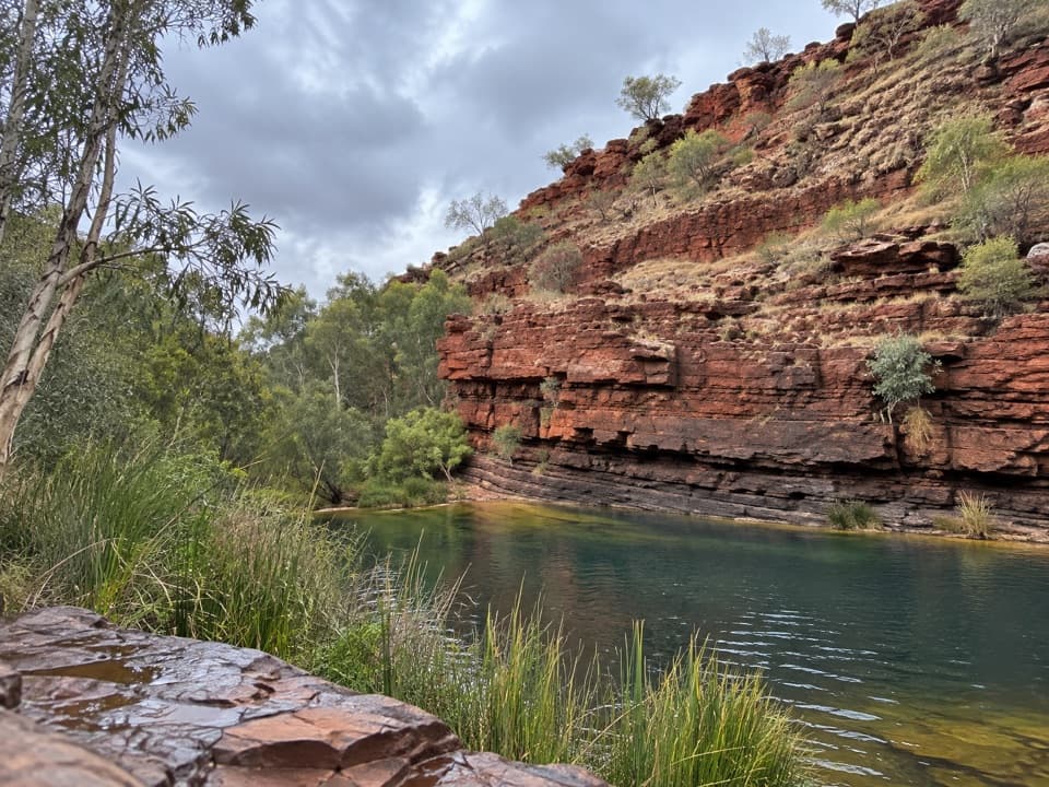
Dales Picnic Area is the day-use picnic stop for the Dales Recreation Area, separate from the nearby Dales Campground. It is most useful as a starting point for the Gorge Rim Walk and routes toward Dales Gorge, Fortescue Falls and Fern Pool. Picnic tables sit beneath shade sails; toilets and a lookout or deck are listed for the recreation area.
Start with the rimThe Gorge Rim Walk begins here and links Circular Pool Lookout with Fortescue Falls Lookout on…
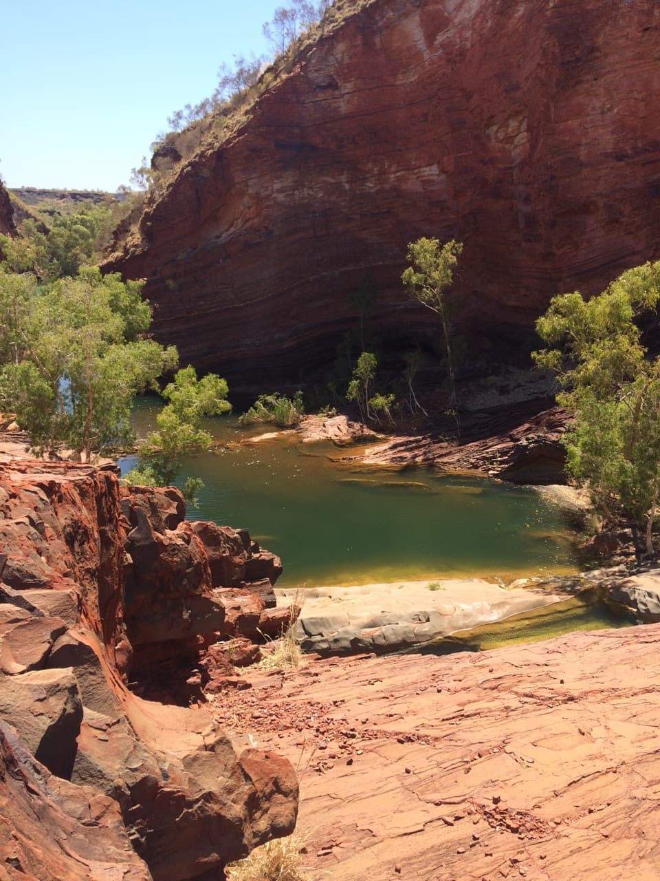
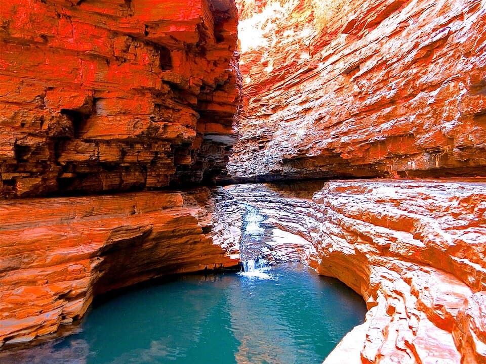
The Gorge Rim Walk begins here and links Circular Pool Lookout with Fortescue Falls Lookout on a 2.4 km return route along the gorge edge. Expect a marked path with steps and some short, steep sections; the published estimate is one to three hours. Other walks in the recreation area lead down to Fortescue Falls and Fern Pool, where swimming is possible. Choose the rim for a look from above or a gorge-floor route if the pools are your main reason to come.
Heat, cold water and cliffsSummer temperatures often exceed 40°C, while the pools can be especially cold from April to…
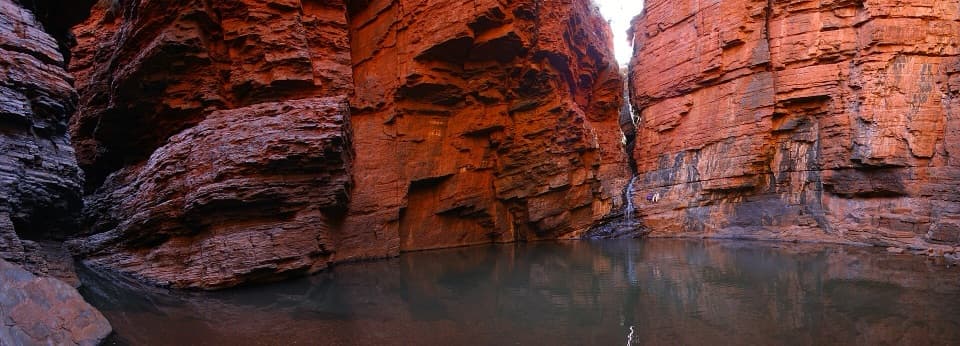
Summer temperatures often exceed 40°C, while the pools can be especially cold from April to September. Avoid gorge walks when rain threatens because flash floods can occur, and stay well back from the cliff edges, which rise about 100 m.
Wildlife
Wildlife in Karijini
 44 sightingsDingoMost seen around 6 PMSighting map
 18 sightingsRock WallabyMost seen around 6 AMSighting map
 15 sightingsMulga SnakeMost seen around 7 PMSighting map
 36 sightingsHamersley Rock MonitorMost seen around 9 AMSighting map
 13 sightingsWestern BowerbirdMost seen around 7 AMSighting map
 34 sightingsChildren's PythonMost seen around 8 PMSighting map
Sighting maps show where each species has been reported across Karijini. Wildlife moves, so no sighting is guaranteed.