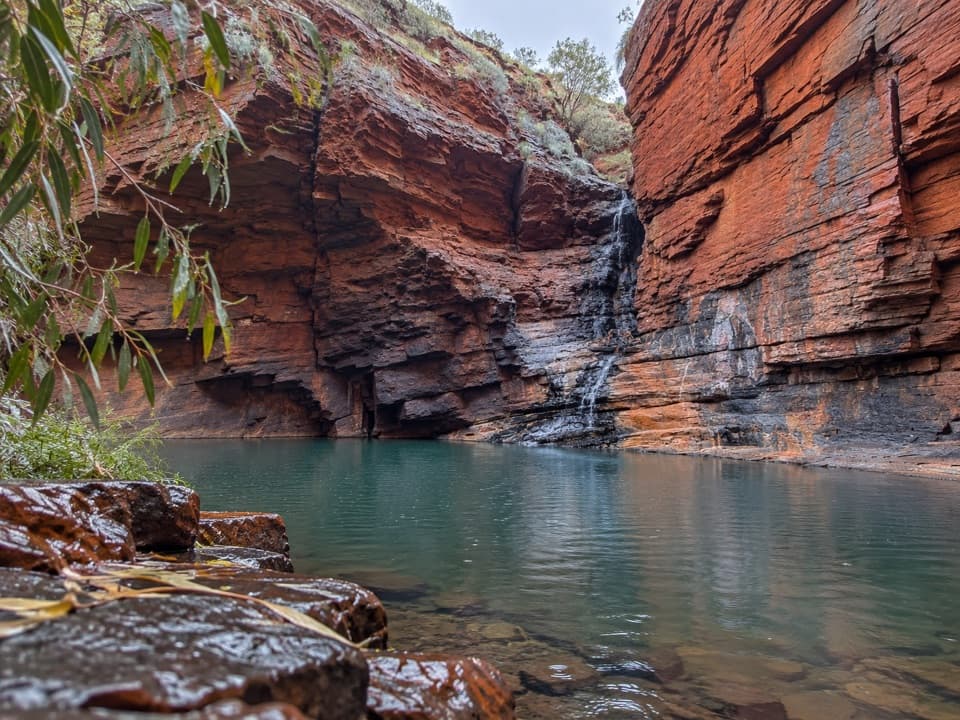
Parking
Use the Fortescue Falls car park, then follow the access down to the falls, where the gorge-floor walk begins.
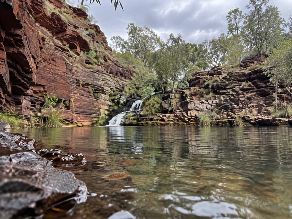
Karijini National Park, WA
A rocky creek-side scramble beneath Dales Gorge’s ancient iron bands.
Overview
Map & elevation
Plan your hike

The highest, rockiest slopes around here are a summer buffet for grizzly bears.
Karijini Tour Guide
Parkwolf is a GPS audio tour guide for Karijini National Park. As you drive, it chimes in with what’s ahead: hidden gems, upcoming stops, history, geology, and wildlife, right through your car’s speakers.
See the Karijini audio tourRecorded for this trailhead
Fortescue Falls and Fern Pool“You're approaching Fortescue Falls and Fern Pool in Dales Gorge. Spring water keeps the falls flowing year-round, spilling over rock steps into a fern-lined pool.”
Plays as you drive up to this trailhead in the Parkwolf Karijini Tour Guide.
More stories near here in the app
“Fantastic app with many points of information… It’s great to just turn on while you’re driving and it gives you an audio tour of the national Park. We love it!!!!”


Trail guide
Ngirribungunha is the creek-side out-and-back between Fortescue Falls and Three Ways Lookout. Plan for about 1.6 miles (2.6 km) round trip and roughly two hours, then retrace your steps. Public trail listings give 2 km return, while the mapped walking line measures about 1.3 km each way; allow for the longer estimate. This is the floor route, separate from the Gorge Rim Walk and longer loops that combine routes.
This is a Class 4 difficult walk over uneven rock, with scrambling, pool crossings, a ladder and steep stairs. Expect wet feet or careful steps around water; rocks can be slippery when wet. The short distance does not make it an easy walk.
Carry your own drinking water; none is documented along the route. The gorge can flash flood: do not enter when rain is falling in the area, and leave promptly if rain starts. Pets are not permitted in the park except certified assistance animals.
Red, dark and silvery bands in the gorge walls are ancient banded iron formation, laid down as iron-rich sediment and silica on an old seafloor about 2.5–2.0 billion years ago. Much later, uplift and flowing water cut the gorge through that resistant rock.
The creek-side route threads past sedge-fringed pools and cascades beneath close-set rock walls. Follow the established line around water. Fortescue Falls is at the access; adding the separate rim route or other nearby pools makes a longer outing.
Wildlife
 44 sightingsDingoMost seen around 6 PMSighting map
 18 sightingsRock WallabyMost seen around 6 AMSighting map
 15 sightingsMulga SnakeMost seen around 7 PMSighting map
 36 sightingsHamersley Rock MonitorMost seen around 9 AMSighting map
 13 sightingsWestern BowerbirdMost seen around 7 AMSighting map
 34 sightingsChildren's PythonMost seen around 8 PMSighting map
Sighting maps show where each species has been reported across Karijini. Wildlife moves, so no sighting is guaranteed.
Keep exploring
 ModerateDales Gorge Loop2.8 km · 3 hr · 0.2 km awayRim views, red-rock pools, then a rough walk through the gorge
 ModerateJubula (Fortescue Falls)0.8 km · 1 hr · 0.2 km awayAn 800 m return to one of Karijini’s few permanent waterfalls.
 ModerateJubura (Fern Pool)1.4 km · 1.5 hr · 0.2 km awayA shady pool with a waterfall, after a steep stair climb.
 ModerateGorge Rim Walk2.4 km · 1.5 hr · 1.1 km awayFollow the rim for Dales Gorge's banded cliff views.
 ModerateNhamarrunha (Kalamina Gorge)3 km · 3 hr · 16.7 km awayRed walls, a tucked-away pool, and a rocky ledge walk.
 Sight · At the trailheadFortescue FallsA spring-fed waterfall rewards a steep descent to a fern-lined pool.
 Sight · 0.2 km awayFortescue Falls LookoutAn easy rim view of a spring-fed Pilbara waterfall.
 Sight · 0.3 km awayFern PoolA fern-framed swim in a red, dry gorge.
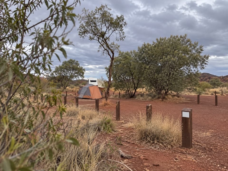 Campground · 0.9 km awayDales CampgroundA roomy base for Fortescue Falls, Fern Pool and Circular Pool.
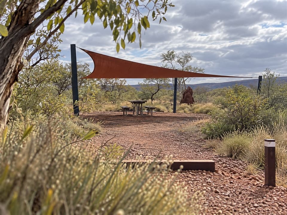 Picnic area · 1 km awayDales Picnic AreaA practical launch point for the Dales rim walk and gorge pools.
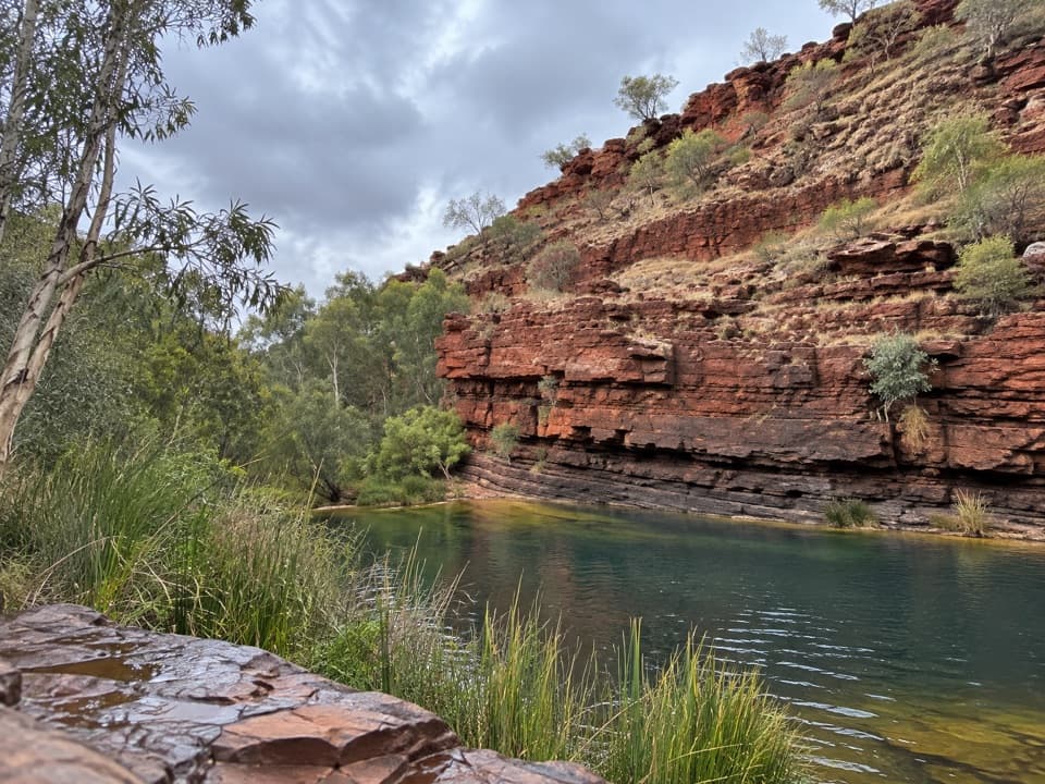 Sight · 1.2 km awayThree Ways LookoutRed-walled Dales Gorge opens below this named rim viewpoint.
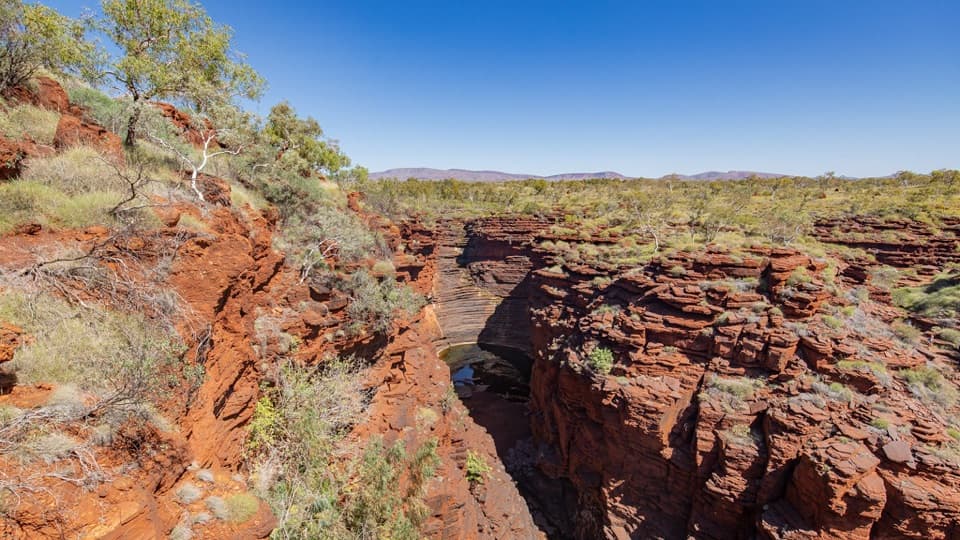 Sight · 1.2 km awayCircular Pool LookoutRed gorge walls plunge around 100 metres below a rim lookout.
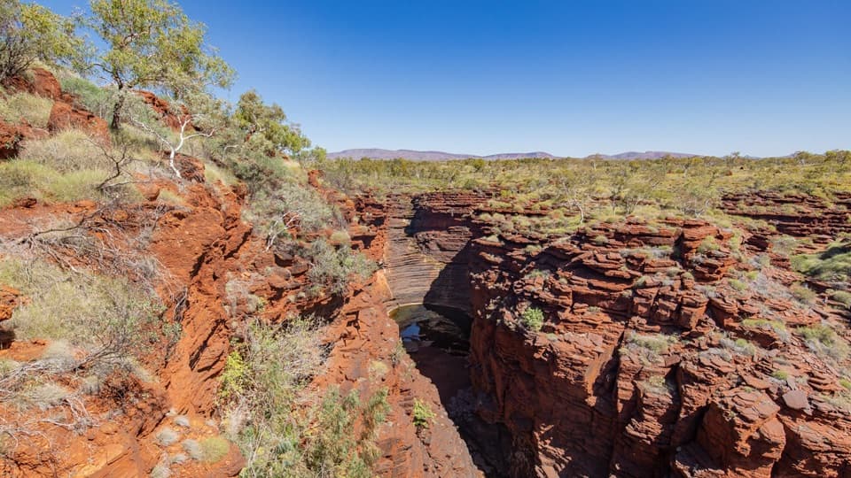 Sight · 1.2 km awayCircular PoolA shaded pool beneath Karijini's layered red gorge walls.
Parkwolf’s Karijini ranking

The audio tour guide for the drive, plus offline maps, trails, and wildlife heatmaps for when the signal drops.