Overview
About Three Ways Lookout
Why stop
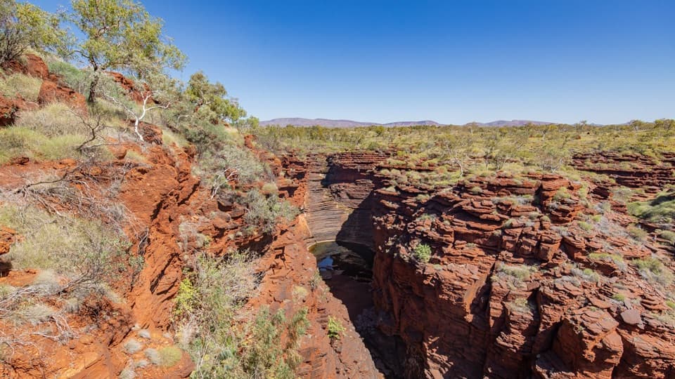
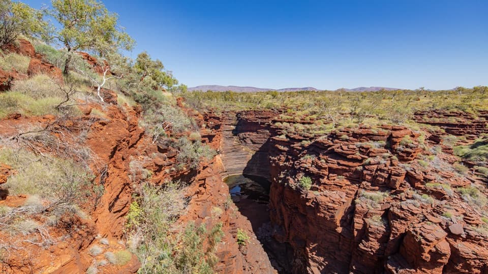
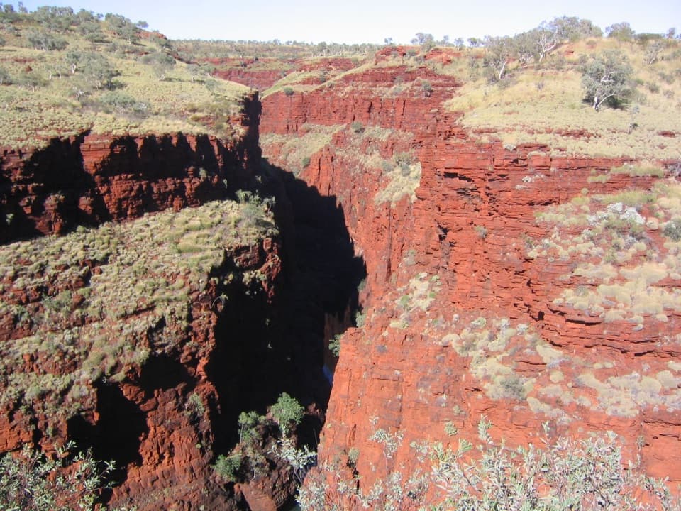
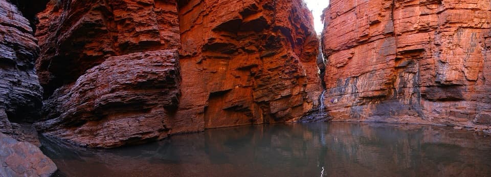
- Iron-rich bands make the gorge walls worth a closer look.
Heads up
- Getting here means a Class 3 walk over rough ground and steps.
Map
Where it is

The highest, rockiest slopes around here are a summer buffet for grizzly bears.
Karijini Tour Guide
Your drive to Three Ways Lookout, narrated.
Parkwolf is a GPS audio tour guide for Karijini National Park. As you drive, it chimes in with what’s ahead: hidden gems, upcoming stops, history, geology, and wildlife, right through your car’s speakers.
See the Karijini audio tourRecorded for this place
Circular Pool Lookout and Dales Picnic Area“You’re approaching Circular Pool Lookout and Dales Picnic Area, a good stop for seeing Dales Gorge from above.”
Plays as you drive up to Three Ways Lookout in the Parkwolf Karijini Tour Guide.
More stories near here in the app
- Fortescue Falls and Fern Pool
- Dales Campground: A Base for the Eastern Gorges
- The Bee That Shakes a Flower
- Which Way the Water Moved
- 141 audio storiesacross Karijini’s roads, triggered by GPS as you drive
- Wildlife heatmapsfor Dingo, Rock Wallaby, Mulga Snake, and 13 more
- Works offlinemaps, 22 trails, 30 places, and audio download before you lose signal
- CarPlay readysimple controls built for the drive
“Fantastic app with many points of information… It’s great to just turn on while you’re driving and it gives you an audio tour of the national Park. We love it!!!!”


Guide
More about Three Ways Lookout
A rim view into Dales GorgeThree Ways Lookout is a natural viewpoint on the rim of Dales Gorge, reached on foot from Dales…
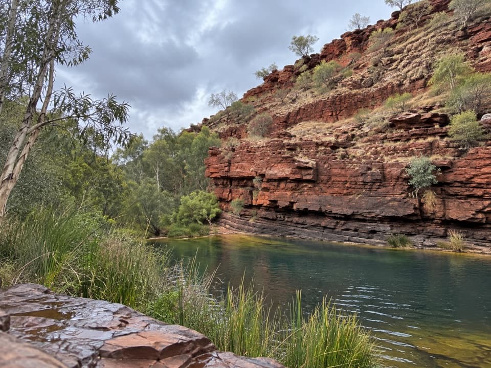
Three Ways Lookout is a natural viewpoint on the rim of Dales Gorge, reached on foot from Dales Picnic Area. I’d pause here if you’re already walking the rim: the view opens down into the red, banded gorge. This is a walking destination, not a roadside pullout.
The walkThe Gorge Rim Walk starts at Dales Picnic Area and is rated Class 3/moderate, with rough…
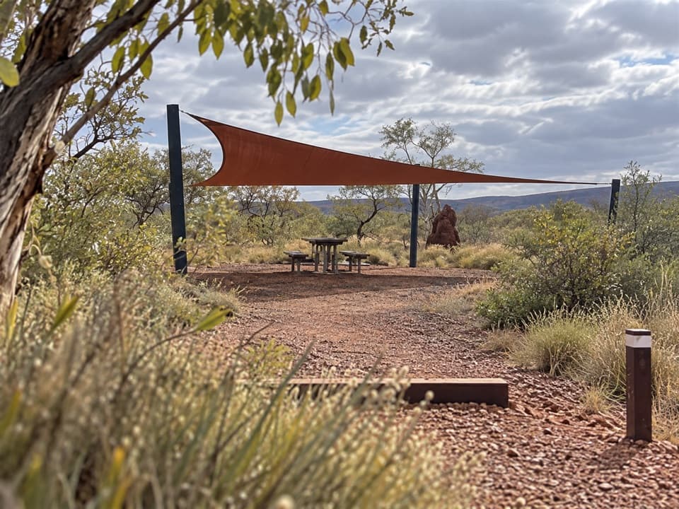
The Gorge Rim Walk starts at Dales Picnic Area and is rated Class 3/moderate, with rough ground, short steep hills and steps. The rim walk is listed at 2.4 km return; a separate creek-side route links Fortescue Falls and Three Ways over 2 km return. Both figures describe walks, not a quick step from the car. A toilet and picnic area are at Dales Picnic Area, back at the trail start.
What to look atFrom the rim, look down across Dales Gorge’s rugged walls and notice the horizontal bands in…
From the rim, look down across Dales Gorge’s rugged walls and notice the horizontal bands in the rock. They make a stronger photo than a wide shot alone; the view is about the layers dropping into the gorge, with native cypress near the cliff edge.
Ancient iron and silicaKarijini’s banded iron formations formed about 2.
Karijini’s banded iron formations formed about 2.5 to 2 billion years ago, when iron-rich sediments and silica settled on an ancient seafloor. Streams later cut into the Hamersley Plateau over millions of years, leaving gorge walls that rise more than 100 metres in places. The creek-side trail is also named Ngirribungunha; Karijini is the traditional home of Banyjima, Kurrama and Innawonga people.
Wildlife
Wildlife in Karijini
 44 sightingsDingoMost seen around 6 PMSighting map
 18 sightingsRock WallabyMost seen around 6 AMSighting map
 15 sightingsMulga SnakeMost seen around 7 PMSighting map
 36 sightingsHamersley Rock MonitorMost seen around 9 AMSighting map
 13 sightingsWestern BowerbirdMost seen around 7 AMSighting map
 34 sightingsChildren's PythonMost seen around 8 PMSighting map
Sighting maps show where each species has been reported across Karijini. Wildlife moves, so no sighting is guaranteed.