
Place
Challenging
This is a no-frills march to Western Australia’s highest point, trading singletrack for a rugged vehicle track and sweeping Pilbara horizons. Expect a steady grind on a 4WD road rather than a gorge walk. If your goal is the state high point and big skies, it delivers.
Most hikers tackle the return route from near the Karijini National Park boundary: 16 km total, about 6 hours, with roughly 709 m of ascent. The walking is almost entirely on a steep, rocky 4WD track. It’s graded at the hardest end of the local scale (Grade 5), reflecting remoteness, rough surfaces, and limited marking rather than technical scrambling.
Views broaden with every switchback: ochre plains, ancient red ranges, and a wide-open desert palette. At the top, look for a cairn/logbook and a substantial monument with a summit sign—simple but satisfying proof you’ve reached the high point.
Reaching the start is half the challenge. Access is via long dirt roads with minimal signage and sections suitable only for high‑clearance 4WD. Traffic from road trains and mine workers is possible; drive cautiously. Many hikers park where their vehicle can safely reach—often near the park boundary—and walk the rest. The approach crosses leasehold/pastoral lands before the park; signage and gates can be confusing, and there are cautions about not continuing beyond a nearby railway line. Park entry fees apply.
Aim for the cooler, drier months of June–September when conditions are friendlier and wildflowers may show. Summer regularly pushes beyond 40°C—plan for extreme heat if you go then. Early starts help with both temperatures and lighting.
Carry ample water and sun protection; there’s no reliable water on the route. Treat it as a remote outing: sturdy footwear, layers, a torch, a PLB, and a reliable way to communicate. Let someone know your plan. Navigation is straightforward on the track but the Grade 5 rating underscores the need for self‑reliance.
Approach via long dirt roads from the highway; expect a gate and limited signage. High‑clearance 4WD strongly recommended. Park where your vehicle can safely reach—commonly near the Karijini National Park boundary—then walk the remaining 4WD track to the summit.
Remote Grade 5 outing on rough, steep 4WD track; extreme summer heat (>40°C); limited signage and gated access across leasehold areas; industrial traffic possible; do not continue beyond the nearby railway line; carry ample water and emergency comms; park entry fees apply.
Place
Place
Place
Place
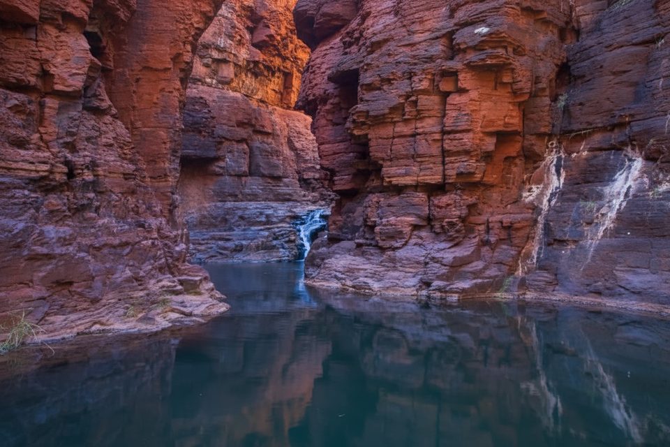
Challenging
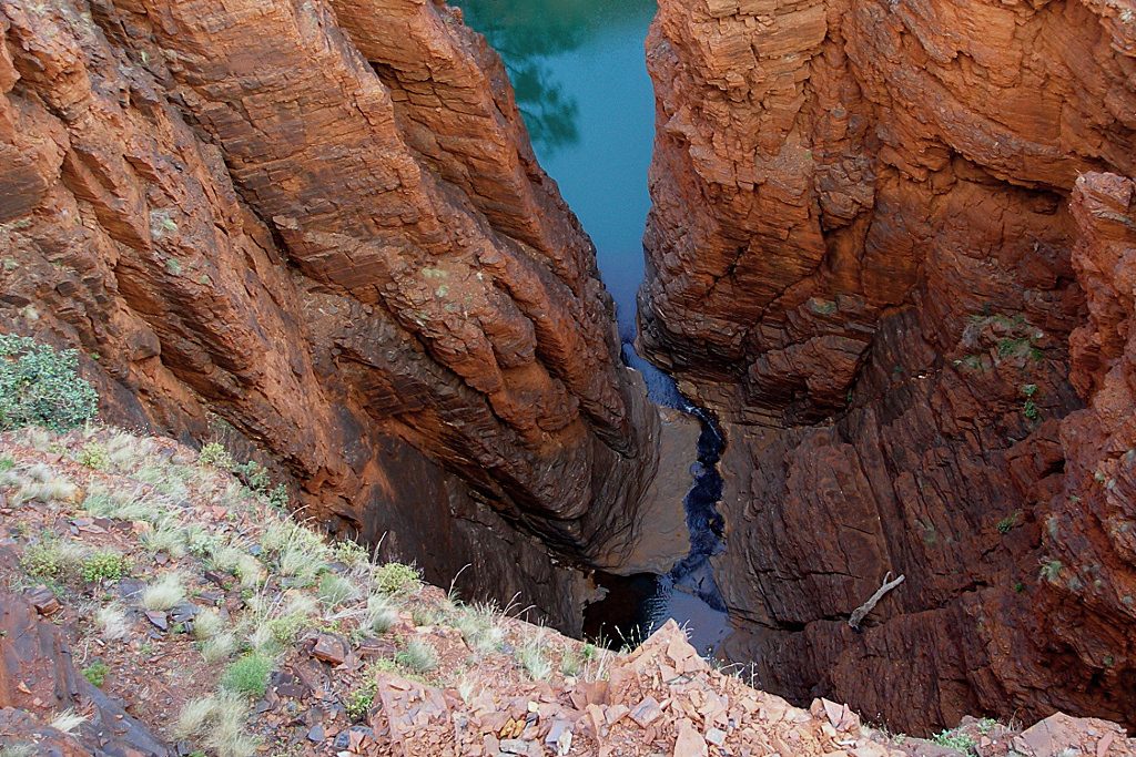
Easy
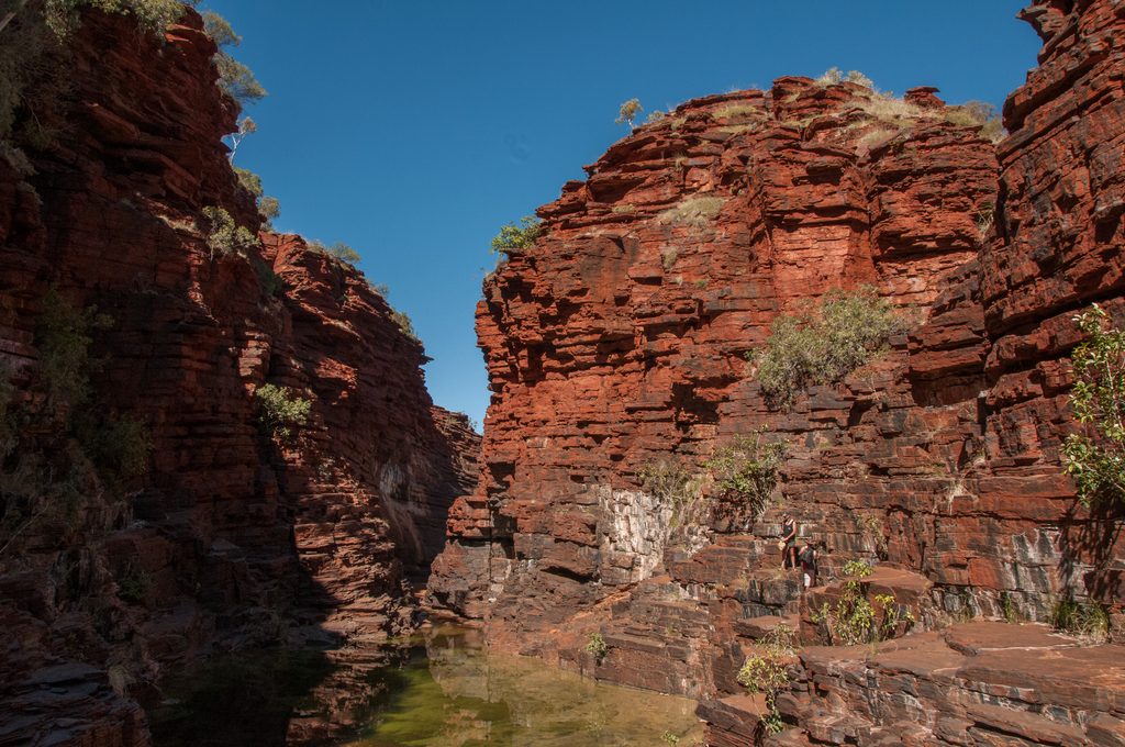
Challenging
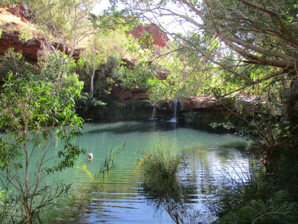
Moderate

Parkwolf Tour Guide
