Parking
Start in the Weano day-use area and follow the Oxer Lookout path across the plateau. A small car park near the lookout gives a shorter access for visitors who need less walking; it is not the start used for the full mapped route.
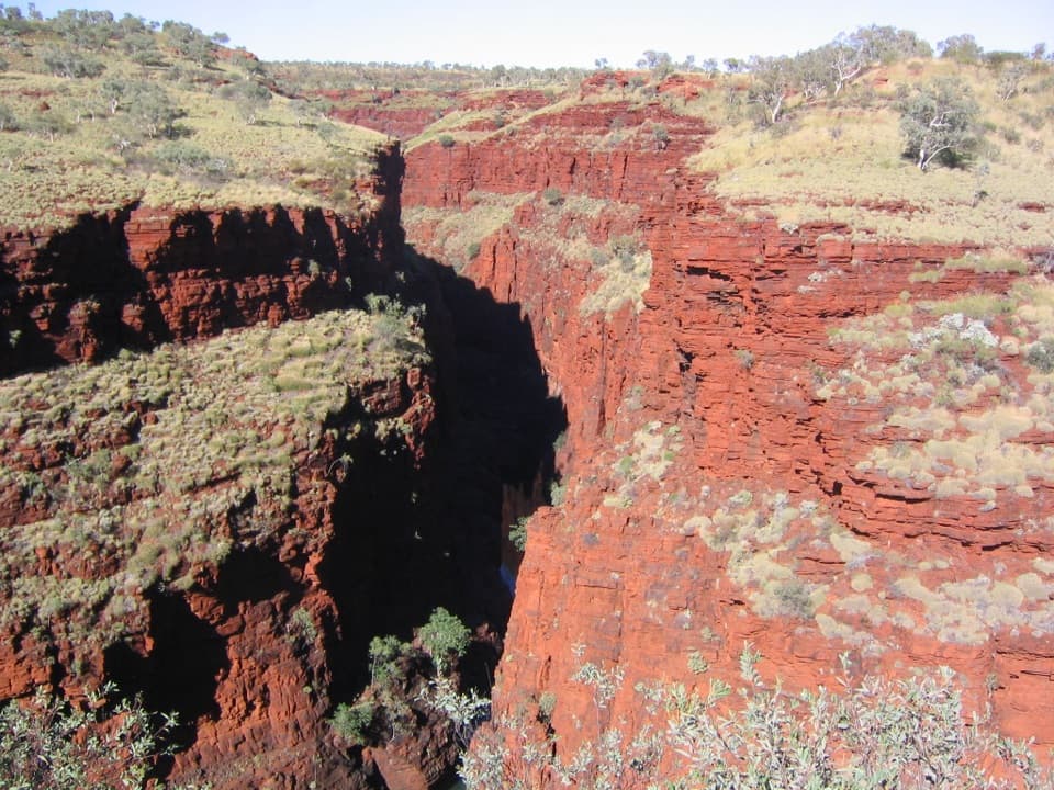
Karijini National Park, WA
A short plateau walk ends where four gorges meet.
Overview
Map & elevation
Plan your hike

The highest, rockiest slopes around here are a summer buffet for grizzly bears.
Karijini Tour Guide
Parkwolf is a GPS audio tour guide for Karijini National Park. As you drive, it chimes in with what’s ahead: hidden gems, upcoming stops, history, geology, and wildlife, right through your car’s speakers.
See the Karijini audio tourRecorded for this trailhead
Oxer and Junction Pool Lookouts“Up ahead are Oxer and Junction Pool lookouts, where you can see the depth of these gorges without climbing into them. I'd make Oxer the priority: four gorge heads meet below walls that drop around a hundred metres.”
Plays as you drive up to this trailhead in the Parkwolf Karijini Tour Guide.
More stories near here in the app
“Fantastic app with many points of information… It’s great to just turn on while you’re driving and it gives you an audio tour of the national Park. We love it!!!!”


Trail guide
Oxer Lookout Trail is an out-and-back from Weano day use across the plateau to a railed platform above the gorge junction. The connected mapped approach works out to about 1.37 km return (0.85 mi); published figures also give 800 m return, so treat the distance as approximate. Allow 30–45 minutes for the longer approach and time at the view. This route ends at Oxer Lookout, not the separate Junction Pool viewpoint.
The path crosses the plateau on a sloping access track. Near the end, minor obstacles and a series of steps lead to the platform. The gorge depth stays partly hidden until the rim opens in front of you, so take care as you reach the edge. A small car park near Oxer Lookout provides a much shorter access for visitors who cannot manage the full Weano approach; that is a separate start and does not match this route’s distance.
From the railed platform, look across the meeting of Weano, Red, Hancock and Joffre gorges. Sheer walls drop around 100 m or more to a floor of layered rock and pools. For a photo, include both the opposite cliff and some of the shadowed gorge below; the depth is what makes the red walls feel enormous.
These gorges cut through the iron-rich rocks of the Hamersley Plateau. Uplift steepened the streams, which carved down through the resistant rock over millions of years; the exposed banded iron formations give the walls their strong horizontal layers. Dogs and other pets are not allowed in Karijini National Park.
Wildlife
 44 sightingsDingoMost seen around 6 PMSighting map
 18 sightingsRock WallabyMost seen around 6 AMSighting map
 15 sightingsMulga SnakeMost seen around 7 PMSighting map
 36 sightingsHamersley Rock MonitorMost seen around 9 AMSighting map
 13 sightingsWestern BowerbirdMost seen around 7 AMSighting map
 34 sightingsChildren's PythonMost seen around 8 PMSighting map
Sighting maps show where each species has been reported across Karijini. Wildlife moves, so no sighting is guaranteed.
Keep exploring
 ChallengingBilungunha (Hancock Gorge), Kermits Pool1.5 km · 2 hr · At the trailheadA short, serious gorge scramble to the Spider Walk and Kermits Pool.
 ChallengingUpper Weano Gorge1.6 km · 45 min · At the trailheadA short Class 4 loop to a cold gorge pool.
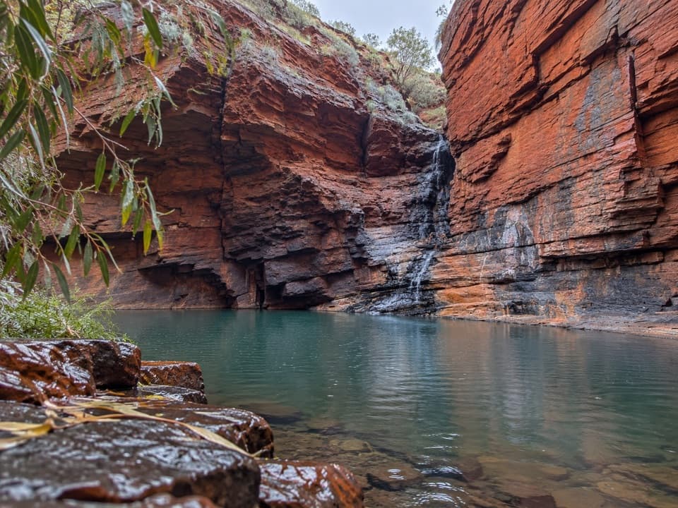 ChallengingLower Weano Gorge, Handrail Pool1.2 km · 1.5 hr · At the trailheadA short walk into a wet, hands-on gorge scramble.
 ModerateLower Weano Gorge Trail2.9 km · 1.5 hr · 0.1 km awayA steady walk to Weano Gorge’s towering iron walls.
 EasyKnox Gorge Lookout Walk0.3 km · 15 min · 1.9 km awayA short stepped walk to the gorge where Knox meets Wittenoom.
 ChallengingKnox Gorge Trail2 km · 3 hr · 1.9 km awayA short, steep scramble to the red-rock gorge floor.
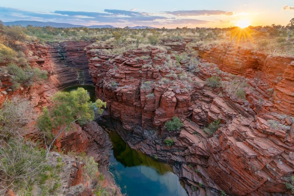 ModerateJoffre Lookout Trail0.2 km · 20 min · 4.1 km awayA short stairway down to Joffre Gorge’s curved amphitheatre.ChallengingJoffre Waterfall Trail1.5 km · 2 hr · 4.2 km awayA steep, rough descent to Karijini’s curved waterfall basin.
 Picnic area · 0.1 km awayWeano Recreation AreaA shaded picnic base before the tougher gorge walks.
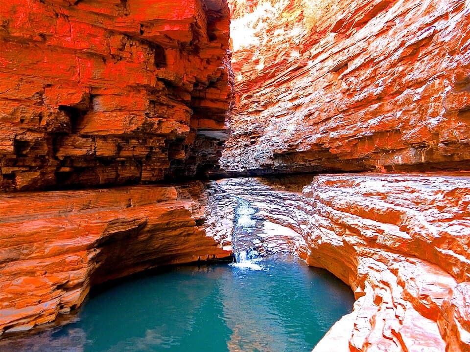 Sight · 0.4 km awayKermit's PoolA Class 5 scramble earns a pool view deep in Hancock Gorge.
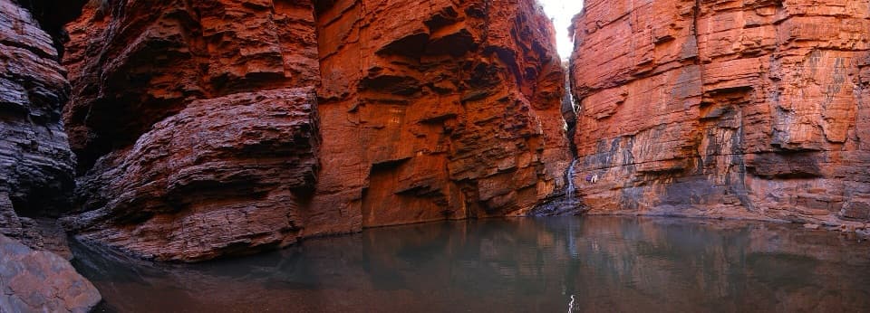 Sight · 0.5 km awayHandrail PoolA gorge walk ends at a pool; the handrail descent is optional.
 Sight · 0.5 km awayJunction Pool LookoutOne short walk for high views into Hancock Gorge and Junction PoolSight · 0.6 km awayOxer LookoutFour gorge heads meet beneath a hundred-metre iron-red drop.
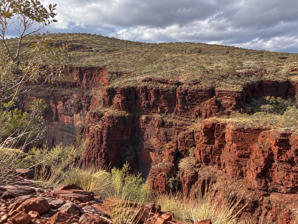 Sight · 1.9 km awayKnox LookoutAn easy, accessible rim walk gives you Knox Gorge from above.
 Restaurant · 4 km awayKarijini Outback RestaurantAn open-air restaurant and bar inside Karijini National Park.
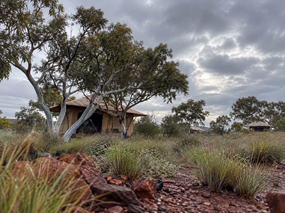 Lodging · 4 km awayKarijini Eco RetreatStay within walking distance of Joffre Gorge in tents, cabins or campsites.
Parkwolf’s Karijini ranking

The audio tour guide for the drive, plus offline maps, trails, and wildlife heatmaps for when the signal drops.


