Mount Angayukaqsraq

Remote park high point in true Arctic wilderness
Mount Angayukaqsraq, Kobuk Valley National Park
InsideKobuk Valley National Park

Overview

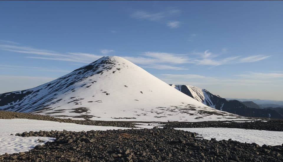
Mount Angayukaqsraq is the high point of the park, rising from the Baird Mountains in a landscape with no roads, no trails, and no facilities. It’s pure wilderness—think broad tundra ridges, rocky high country, and real solitude. The mountain sits near the headwaters of the Salmon River, making it an ambitious but rewarding objective for experienced backcountry travelers.

Getting There

There are no trailheads. Most parties fly commercial to Kotzebue or Bettles, then charter an authorized air taxi into the park. Practical drop zones are gravel bars near the Salmon River headwaters; a common start for float trips is the Anaktok–Sheep Creek confluence, reachable by small plane from Kotzebue or the nearby village of Kiana. Another strategy is a boat-supported approach along the Kobuk River from villages like Ambler, Shungnak, or Kobuk, followed by off-trail travel to your objective. Expect entirely cross-country navigation—tundra, tussocks, alder, and river crossings.

What You'll See

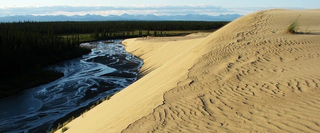
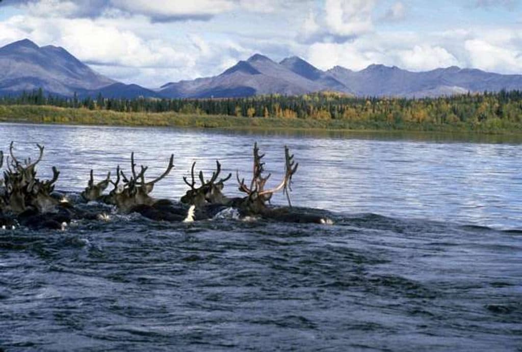
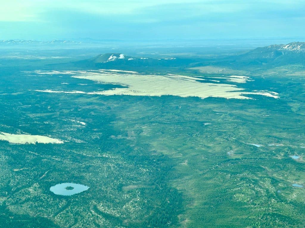
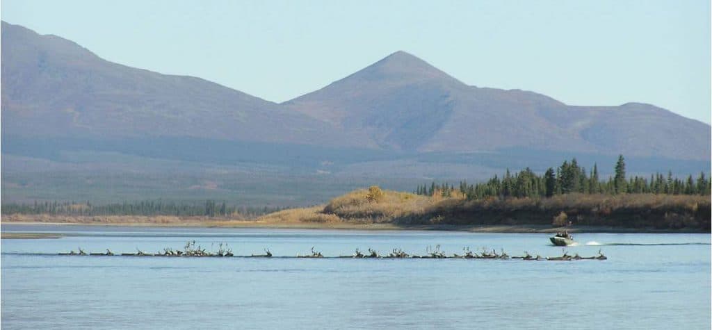
From the upper ridges and summit, you’re looking at miles of undeveloped Arctic country—rolling tundra, braided rivers, and the Baird Mountains. Wildlife is part of the draw: this broader region hosts caribou, moose, wolves, and bears. Even if you don’t see them, sign is common in the backcountry.

Conditions and Safety

This is an extremely remote area with rapidly changing weather. Summer can mean wind, rain, and even smoke from wildfires. Mosquitoes are notorious in June–July and generally ease in August–September. Winters are severe. Bring robust layers and rain gear, bear-resistant food storage, bear spray, and a satellite communicator/PLB. Navigation is entirely on you—map, compass, GPS, and spare batteries. There are no services in the park; plan to be fully self-reliant and to self-rescue if needed.

Permits, Fees, and Info

Independent travelers don’t need permits and there’s no entrance fee. Organized groups do require a permit. Many visitors touch base with rangers at the Northwest Arctic Heritage Center in Kotzebue for current conditions and planning help before flying in.

Best Time to Visit

For most, late August to early September is the sweet spot: fewer bugs, cooler temps, and steadier travel. Build in weather buffer days for flights and keep your itinerary flexible. There are no crowds here—your timing is about conditions and logistics, not people.

Who It’s For

Skilled, self-sufficient backcountry hikers, packrafters, and peakbaggers looking for an off-trail Arctic objective will find Mount Angayukaqsraq compelling. It’s not a casual day out—it’s a serious, logistically complex trip with big rewards for those prepared.

Pros

  • Remote park high point with big, wild alpine views
  • Custom bush-plane access via nearby gravel bars

Cons

  • No trails or infrastructure; full self-supported expedition
  • Weather and bugs can be intense; build in flight buffer days

Tips

  • Arrange air-taxi drop-offs well in advance and add weather buffer days.
  • Expect off-trail travel; carry map, compass, GPS, and spare batteries.
  • June–July mosquitoes are fierce—bring head nets and strong repellent.
  • Consider a boat-supported approach via Kobuk River villages if that fits your plan.
  • Stop at the Northwest Arctic Heritage Center in Kotzebue for current conditions.
The Parkwolf tour guide sitting on a phone mounted in a car

Parkwolf Tour Guide

Like a tour guide in your car.

Save the places you found around Kobuk Valley, then let Parkwolf guide the drive between them.Download Parkwolf on the App Store