
Place · 0 mi away
Easy
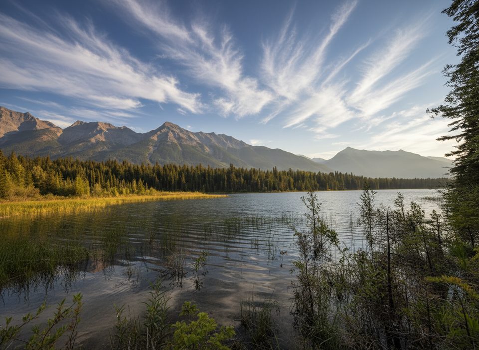
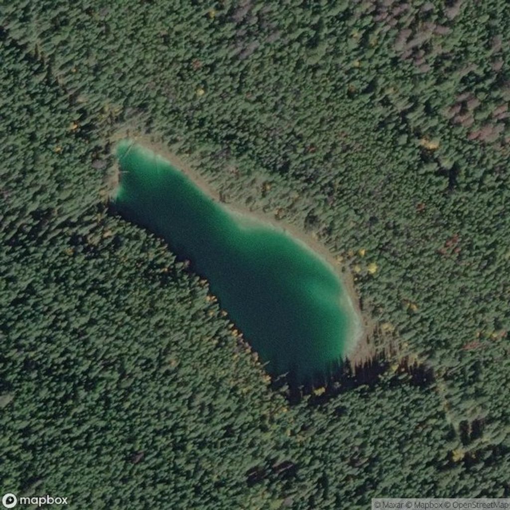
A short, forested out-and-back to a small, peaceful lake. Expect shade almost the whole way and very little in the way of big-mountain views—this one’s about cool air, quiet vibes, and an easy escape from the highway. The hike is 5.4 km total (2.7 km each way) and typically takes about 2 hours.
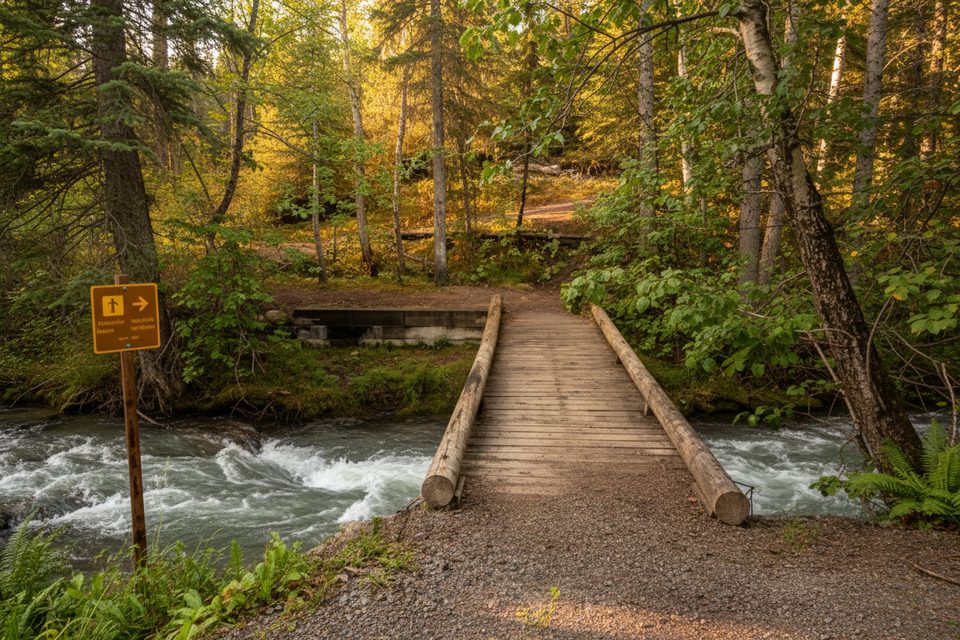
Start from the signed Cobb Lake parking area about 17 km east of Radium Hot Springs on Highway 93S. The path drops steadily through mature forest to Swede Creek, where you’ll cross a small bridge, then climb briefly to reach the treed shore of Cobb Lake. There’s often a log at the shoreline for a sit-down, and you can poke around the lakeshore before returning the same way. Although listed as “easy,” remember you’ll pay back that initial descent on the return—round-trip, you’ll tally roughly 415 m of total ascent and the climb can feel stout for new hikers.
Bear activity is common here and seasonal berry patches draw wildlife. Bear-related closures happen—check current trail and bear bulletins before you go, hike in a group if you can, make noise, and carry bear spray.
June through October is prime: snow-free, longer days, and that welcome shade on hot afternoons. Shoulder season and early winter bring ice and packed snow—microspikes are smart when it’s slick. For photos, midday light filters nicely through the forest; for solitude, go early. A valid Parks Canada pass is required for day use.
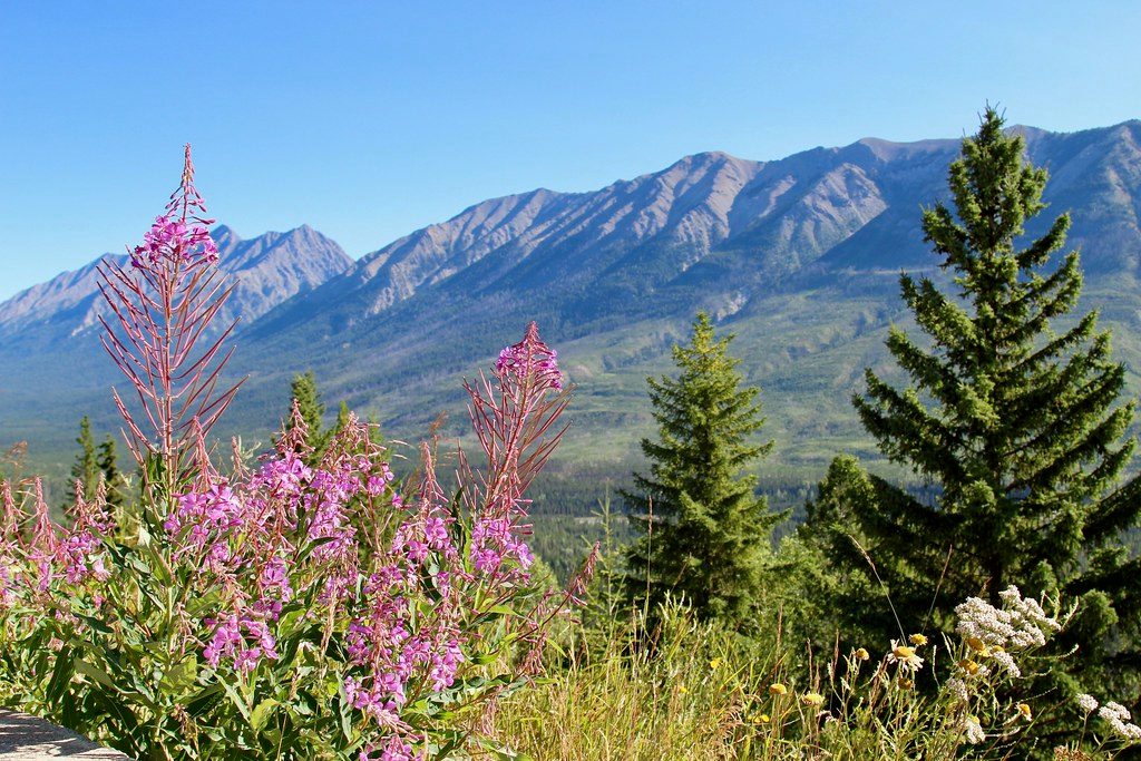
Cobb Lake is about forest and a quiet lakeshore, not panoramas. For big-valley scenery nearby, the Kootenay Valley viewpoint delivers the mountain vistas this hike lacks.
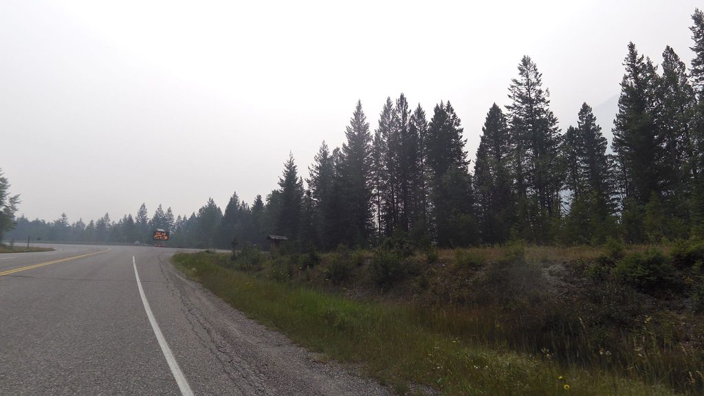
Small signed Cobb Lake parking lot directly off Highway 93S, about 17 km east of Radium Hot Springs; limited roadside signage, no washrooms—use GPS to find the pullout.
Frequent bear closures; carry bear spray and check current bulletins. Return leg climbs steadily. Trail can be muddy/overgrown and icy in shoulder season—microspikes recommended. No facilities at trailhead.
Place · 0 mi away
Place · 0.3 mi away
Place · 0.3 mi away
Place · 1.2 mi away
Moderate · 3.6 mi away
Easy · 7.9 mi away
Easy · 8.4 mi away
Challenging · 8.5 mi away

Parkwolf Tour Guide
