Parking
The trailhead is inside Redstreak Campground at either E or F Loop. A separate day-use parking arrangement for this trail was not confirmed.

Kootenay National Park, BC
A short forest loop climbs to a bench above the Columbia Valley.
Overview
Redstreak Loop is a 1.2-mile circuit from campground E or F Loop to a bench viewpoint above the Columbia Valley, then back through the campground. Allow about 45 minutes. The climb is substantial for such a short walk: expect roughly 155 m up and down, with some steep, rocky stretches. It suits a quick wooded outing with a proper valley view; choose a longer trail if you want a half-day hike.
 Parkwolf’s verdictIs this the hike for you?
Map & elevation
Plan your hike

The highest, rockiest slopes around here are a summer buffet for grizzly bears.
Kootenay Tour Guide
Parkwolf is a GPS audio tour guide for Kootenay National Park. As you drive, it chimes in with what’s ahead: hidden gems, upcoming stops, history, geology, and wildlife, right through your car’s speakers.
See the Kootenay audio tourRecorded for this trailhead
Redstreak Campground: A Base Above Radium“Redstreak Campground is coming up on the hillside above Radium Hot Springs. I'd choose it as a developed base for park drives and walks: campers have drinking water, flush toilets and showers.”
Plays as you drive up to this trailhead in the Parkwolf Kootenay Tour Guide.
More stories near here in the app
“Fantastic app with many points of information… It’s great to just turn on while you’re driving and it gives you an audio tour of the national Park. We love it!!!!”


Trail guide
Start at E or F Loop in Redstreak Campground. The route winds through Douglas-fir forest to the viewpoint, then closes through the campground. It is a separate walk from the Hot Springs Trail. Dogs may join but must stay leashed.
Take a break at the bench and look across the Columbia Valley toward the surrounding mountains. This is the signature stop on the loop; frame the view with nearby conifers for a sense of the forested hillside.
Wildlife
 41 sightingsGrizzly BearMost seen around 8 PMSighting map
 31 sightingsGray WolfMost seen around 8 PMSighting map
 22 sightingsMooseMost seen around 6 AMSighting map
 84 sightingsMountain GoatMost seen around 7 PMSighting map
 522 sightingsBighorn SheepMost seen around 7 AMSighting map
 65 sightingsElkMost seen around 6 AMSighting map
Sighting maps show where each species has been reported across Kootenay. Wildlife moves, so no sighting is guaranteed.
Keep exploring
 EasyLetwilc7úl̓ecw Loop1 km · 30 min · 0.4 km awayA short meadow loop with Secwépemc plant interpretation
 ModerateSinclair Canyon2.8 km · 2 hr · 0.5 km awayA short ridge walk into the canyon above Radium.
 EasyHot Springs Trail2 km · 1.5 hr · 0.5 km awayA cool forest path links Redstreak Campground with Radium's hot pools.
 EasyValleyview Trail1.3 km · 45 min · 1.2 km awayA short climb from Radium opens to a broad Columbia Valley view.
 ModerateJuniper–Hot Springs Loop5.8 km · 3 hr · 1.5 km awayA loop from Radium's pools through wet forest and Sinclair Canyon.
 ModerateRedstreak Creek Trail4.6 km · 1.5 hr · 4.1 km awayA quiet creek walk with a steady climb through shaded forest.
 ModerateKimpton Creek6.4 km · 2.5 hr · 6.6 km awayA shaded creek walk on a narrow, sometimes rough forest trail.
 ChallengingKindersley Pass20 km · 8 hr · 8.2 km awayA big climb with its broadest views beyond the pass.
 Campground · 0.4 km awayRedstreak CampgroundDeveloped base with showers, trail access, tents and oTENTiks.Sight · 0.6 km awaySinclair CanyonWatch Highway 93 thread the red cliffs at the southern gateway.
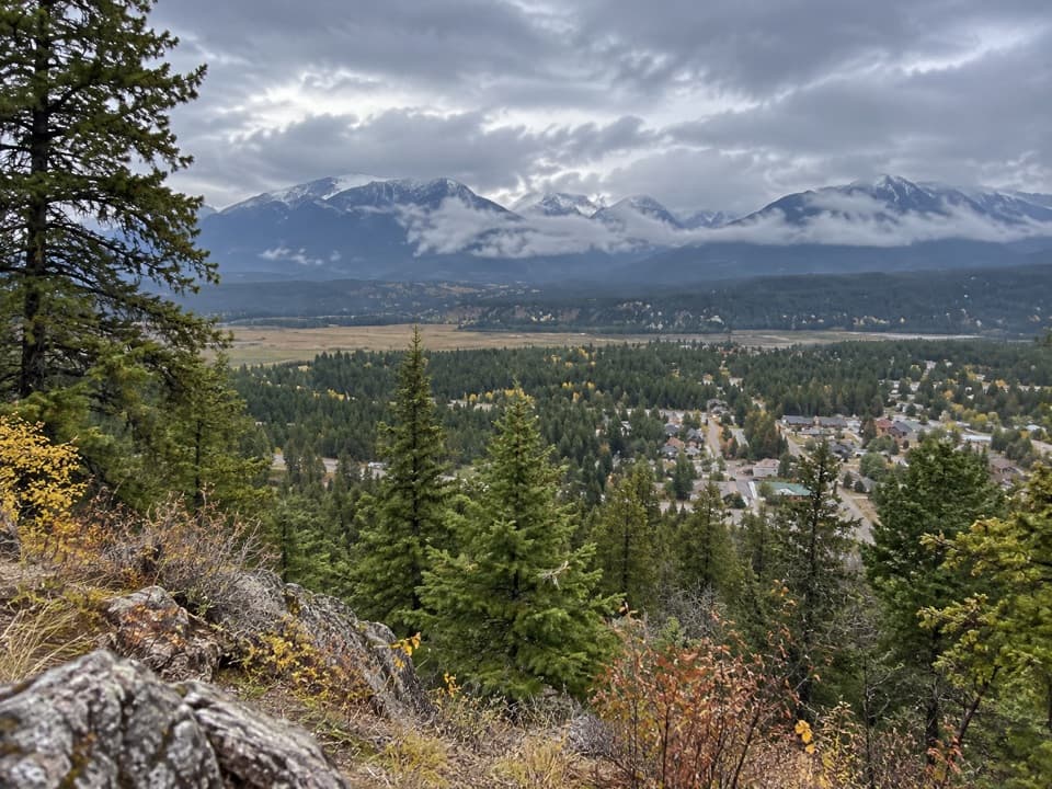 Scenic pullout · 1.2 km awayRedstreak Road LookoutA quick town view on the road up to Redstreak Campground.
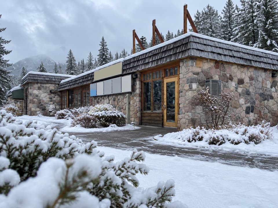 Visitor center · 1.2 km awayKootenay National Park Visitor CentreHelpful park advice and local displays in Radium Hot Springs.
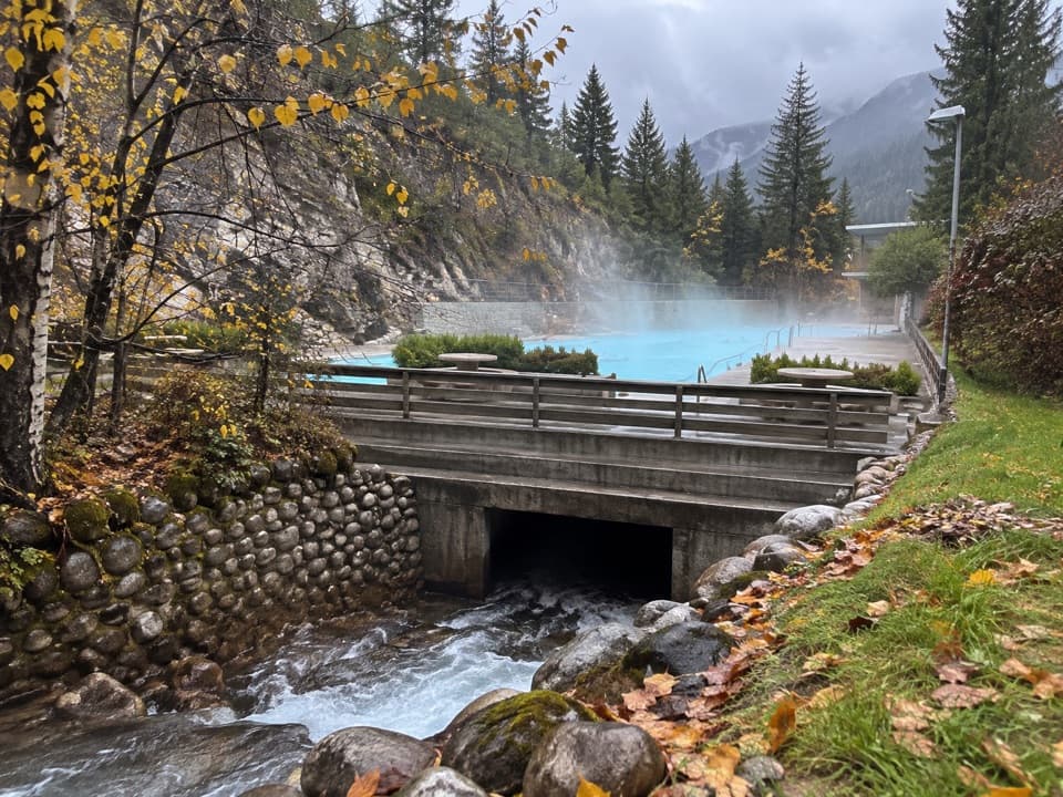 Sight · 1.5 km awayRadium Hot SpringsA mineral soak and cool pool in a heritage canyon bathhouse.
 Sight · 10.3 km awayOlive LakeBright green water makes this quick roadside walk worth the break.
 Sight · 13 km awayKootenay Valley ViewpointA quick roadside panorama of the Mitchell and Vermilion ranges
 Sight · 13.2 km awayCobb LakeA forest-fringed lake at the end of a two-hour walk.
Parkwolf’s Kootenay ranking
The audio tour guide for the drive, plus offline maps, trails, and wildlife heatmaps for when the signal drops.