Crook’s Corner in Kruger National Park

#2 of 50 sights in Kruger

Sight · Kruger National Park

Crook’s Corner

A remote river outlook with a story of three borders.

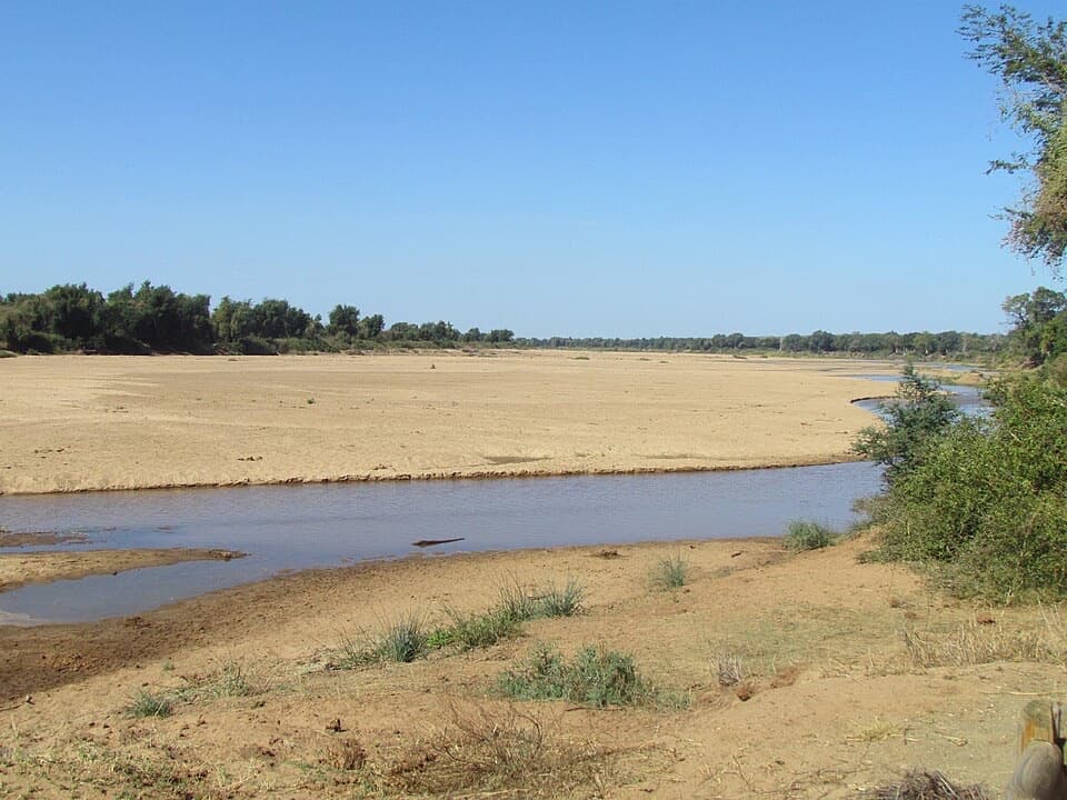
Photo: Michaelphillipr, CC BY-SA 4.0, via Wikimedia Commons

Type
Sight
Audio stories
2 nearby
  • Pullout
  • Scenic viewpoint
  • Parking

Hear the audio tour

Crook's Corner: Rivers and Borders
Download Parkwolf on the App StoreGet Parkwolf on Google Play

4.7 from 8,600+ ratings

Overview

About Crook’s Corner

Why stop

  • The river-border setting comes with a memorable outlaw history.

Heads up

  • A long drive leads to a brief, lightly serviced stop.

Map

Where it is

Loading the Kruger map
Full map
SightCrook’s Corner-22.42607, 31.30747
Keep this map with you offline in the Parkwolf app

Plan your stop

Before you go

Getting there and making the stop work

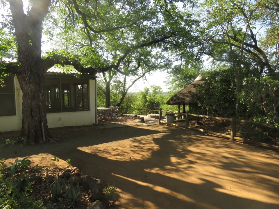
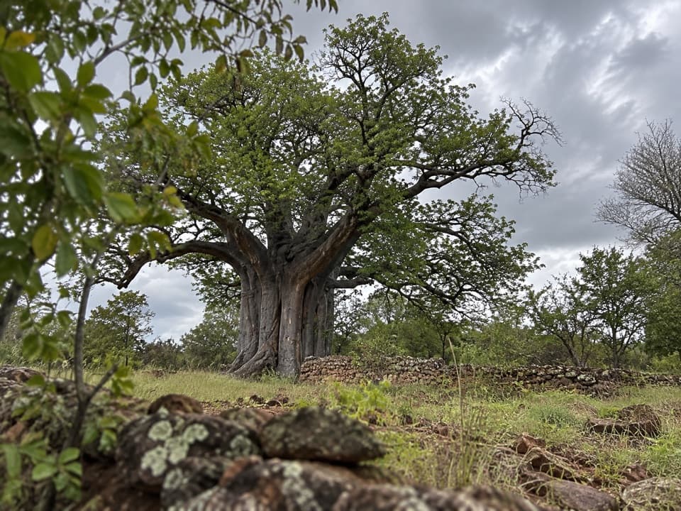
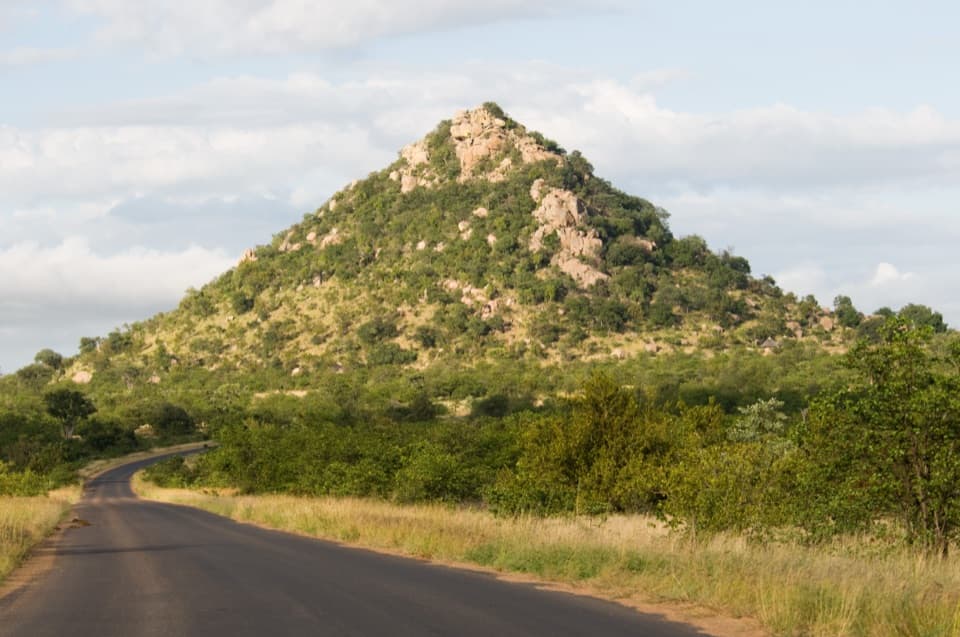
The approach from the Pafuri area follows a gravel riverside road through a shady northern landscape, with baobabs and yellow-barked fever trees along the way. Stop and get out only at Crook’s Corner’s designated area; the park’s rule is to stay in your vehicle elsewhere. The stop is a flat compact-earth surface, but there’s no specific accessibility rating for it.

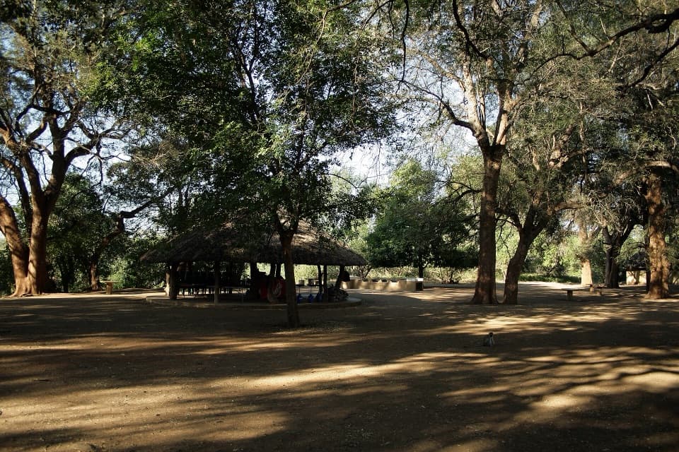
Treat Crook’s Corner as a quick viewpoint rather than a picnic site. Pafuri Picnic Site is a separate nearby stop for a proper break; don’t count its facilities as part of this viewpoint.

A park ranger sits on a dash-mounted phone, talking, as Parkwolf’s Tour Guide plays “Army Cutworm Moths: A Grizzly Bear Buffet” on Grand Loop Road below Dunraven Pass in Yellowstone
Parkwolf Tour GuideThe highest, rockiest slopes around here are a summer buffet for grizzly bears.

Kruger Tour Guide

Your drive to Crook’s Corner, narrated.

Parkwolf is a GPS audio tour guide for Kruger National Park. As you drive, it chimes in with what’s ahead: hidden gems, upcoming stops, history, geology, and wildlife, right through your car’s speakers.

See the Kruger audio tour

Recorded for this place

Crook's Corner: Rivers and Borders
0:00 / 0:35
“Up ahead is Crook's Corner, a small viewpoint near the meeting of the Limpopo and Luvuvhu rivers.”

Plays as you drive up to Crook’s Corner in the Parkwolf Kruger Tour Guide.

More stories near here in the app

  • Pafuri Border Post: The Mozambique Crossing
  • Pafuri Picnic Site: Shade by the Luvuvhu
  • The Hawk That Reaches Inside
  • 298 audio storiesacross Kruger’s roads, triggered by GPS as you drive
  • Wildlife heatmapsfor Lion, Leopard, Elephant, and 13 more
  • Works offlinemaps, 3 trails, 129 places, and audio download before you lose signal
  • CarPlay readysimple controls built for the drive
★★★★★
“Fantastic app with many points of information… It’s great to just turn on while you’re driving and it gives you an audio tour of the national Park. We love it!!!!”
JMJamesApp Store review
Download Parkwolf on the App StoreGet Parkwolf on Google Play

4.7 from 8,600+ ratings

Guide

More about Crook’s Corner

A short stop at the far-north riverCrook’s Corner is a compact, designated get-out point and viewpoint in Kruger’s far north,…

Crook’s Corner is a compact, designated get-out point and viewpoint in Kruger’s far north, looking over the Limpopo toward the meeting of the Limpopo and Luvuvhu rivers and the three-country corner of South Africa, Zimbabwe and Mozambique. It’s a good short stop if you’re already exploring Pafuri; the remote drive is a large part of the visit, while the viewing area itself is small.

One important distinction: the viewpoint is on the South African side, not the exact border tripoint. The historic beacon stood on a nearby river island, so don’t expect to stand on the marker or cross to the island.

A corner in the river, not a border markerFrom the viewpoint, the Limpopo forms the broad river setting, with Zimbabwe across the water…

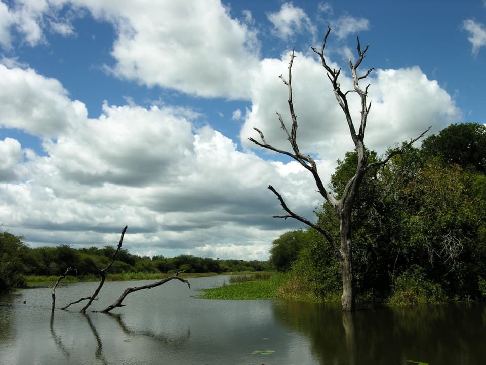
From the viewpoint, the Limpopo forms the broad river setting, with Zimbabwe across the water and Mozambique ahead. The exact three-country point is associated with the rivers’ junction and a small island; histories say the old beacon there was washed away by floods. River levels and channels can change what the view looks like, so the confluence may not read as a sharp point from where you stand.

The outlaws behind the nameThe corner’s story comes from people using the borders to slip between jurisdictions.

The corner’s story comes from people using the borders to slip between jurisdictions. Accounts tell of smugglers, gun runners and elephant poachers moving through this remote area to evade authorities. Stephanus Barnard, known as Bvekenya, is one of the best-known figures in that history; he arrived around 1910 and reportedly left the area in 1929.

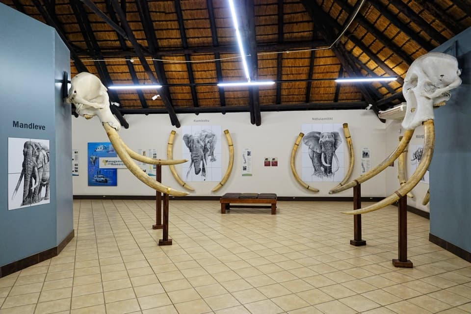
A more dramatic story says Barnard spared a giant elephant called Dhlulamithi and quit poaching. That version is disputed, so treat it as local lore rather than settled fact.

River wildlife and the viewCrocodiles are often reported on the sandbanks, and visitors may also see hippos and river…

Crocodiles are often reported on the sandbanks, and visitors may also see hippos and river birds, but sightings are never guaranteed. Use the designated viewpoint for a wide river photo, and include the sandbars or riverbank trees for context if they’re visible. The baobabs and fever trees on the approach are another distinctive part of the scene.

Wildlife

Wildlife in Kruger

All Kruger wildlife maps

Sighting maps show where each species has been reported across Kruger. Wildlife moves, so no sighting is guaranteed.

Parkwolf’s Kruger ranking

Top sights in Kruger

All 129 places
  1. 1Lake Panic Bird HideSight
  2. 3Sunset DamSight
  3. 4Letaba Elephant HallSight
  4. 5Nkumbe LookoutSight
  5. 6Thulamela Archaeological SiteSight
  6. 7Masorini Ruins and Picnic SiteSight

Take Parkwolf to Kruger.

The audio tour guide for the drive, plus offline maps, trails, and wildlife heatmaps for when the signal drops.

4.7 from 8,600+ ratings

Download Parkwolf on the App StoreGet Parkwolf on Google Play