Overview
About Masorini Ruins and Picnic Site
Why stop
- The guided walk brings the ironworking story to life.
Heads up
- The picnic stop is brief if you skip the uphill heritage walk.
Map
Where it is

The highest, rockiest slopes around here are a summer buffet for grizzly bears.
Kruger Tour Guide
Your drive to Masorini Ruins and Picnic Site, narrated.
Parkwolf is a GPS audio tour guide for Kruger National Park. As you drive, it chimes in with what’s ahead: hidden gems, upcoming stops, history, geology, and wildlife, right through your car’s speakers.
See the Kruger audio tourRecorded for this place
Masorini: Ironworking on the Hill“You're coming up on Masorini Ruins and Picnic Site, where a guided walk takes you into a reconstructed ironworking settlement. If the history interests you, make time for the hill rather than just a picnic at the base.”
Plays as you drive up to Masorini Ruins and Picnic Site in the Parkwolf Kruger Tour Guide.
More stories near here in the app
- Sable Dam Hide: Stay Beside the Water
- The Fox That Listens for Insects
- The Cluster-Leaf's Strange Fruit
- The Water Monitor’s Scent Sensor
- 298 audio storiesacross Kruger’s roads, triggered by GPS as you drive
- Wildlife heatmapsfor Lion, Leopard, Elephant, and 13 more
- Works offlinemaps, 3 trails, 129 places, and audio download before you lose signal
- CarPlay readysimple controls built for the drive
“Fantastic app with many points of information… It’s great to just turn on while you’re driving and it gives you an audio tour of the national Park. We love it!!!!”


Guide
More about Masorini Ruins and Picnic Site
A hilltop heritage stopMasorini is a late Iron Age settlement site of the BaPhalaborwa on a prominent hillside in…
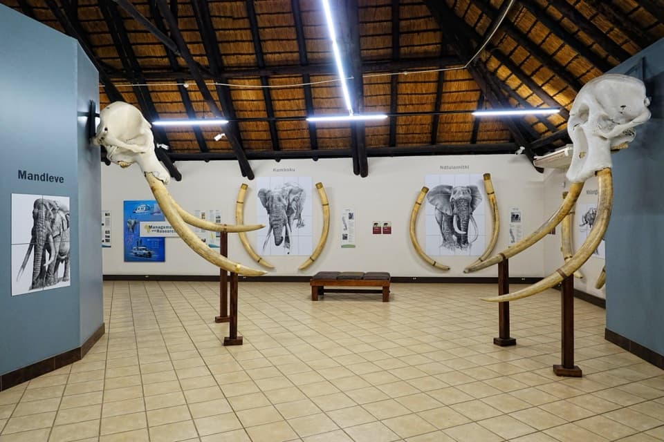
Masorini is a late Iron Age settlement site of the BaPhalaborwa on a prominent hillside in Kruger. At the hill’s foot, a small museum and picnic area set up the choice: pause on the H9 drive or join a guided visit to the reconstructed huts and furnace above.
Take the uphill walkThe guided walk is where the archaeology comes into focus; a quick picnic break alone gives…
The guided walk is where the archaeology comes into focus; a quick picnic break alone gives less context. Ask at the site whether a guide is available before heading uphill. Tours are offered, but a current schedule, booking arrangement and fee are not clear. From Phalaborwa Gate, Masorini is about 12 km along the tar road toward Letaba; from Letaba Rest Camp it is about 39 km. Park entry is required.
Ironworking on the hillIn the 1800s, BaPhalaborwa residents mined and smelted iron ore here.
In the 1800s, BaPhalaborwa residents mined and smelted iron ore here. Dome-shaped clay furnaces used bellows made from skin bags, connected by clay pipes. After smelting, the iron was reheated and worked into items such as spears, arrowheads and farm tools.
Trade across the regionMasorini was part of a wider exchange network.
Masorini was part of a wider exchange network. Iron goods went north to Venda and east toward Portuguese coastal traders; glass beads, ivory, animal products and food moved through the trade in return.
A reconstructed settlementStone walls, dwellings, grinding stones, potsherds and furnace remains help tell the story.
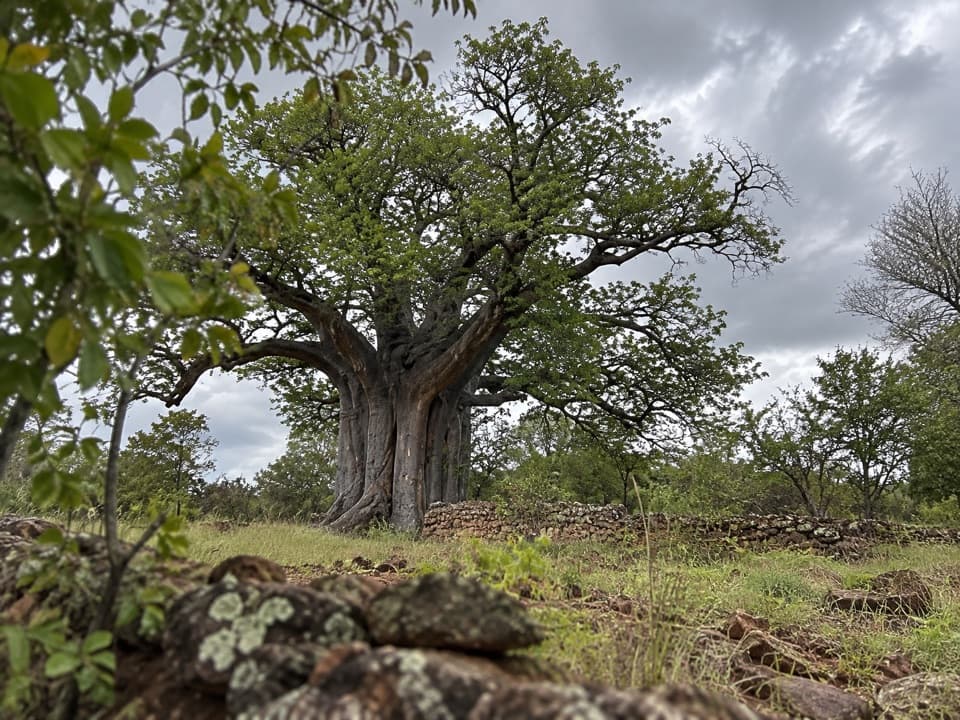
Stone walls, dwellings, grinding stones, potsherds and furnace remains help tell the story. The reconstructed huts draw on archaeological and ethnographic work, and local BaPhalaborwa residents have renovated them. The museum gives a starting point before the guided walk.
From the H9 to the hilltopThe road offers a clear view of Masorini’s rocky hill, but the huts and furnace are the reason…
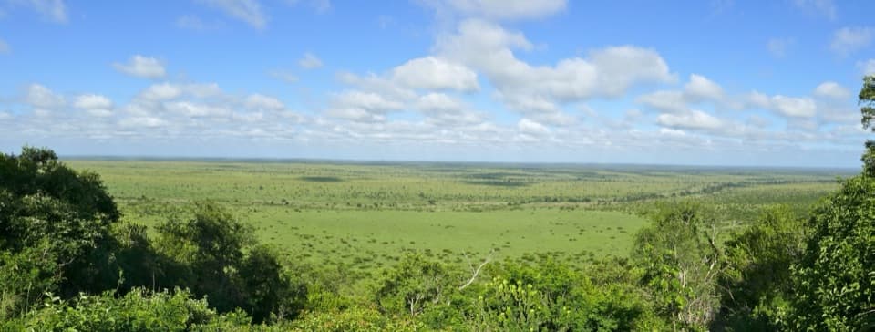
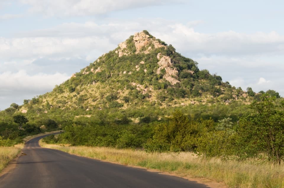
The road offers a clear view of Masorini’s rocky hill, but the huts and furnace are the reason to walk up. At the top, the view reaches across the surrounding bushveld toward Shikumbu Hill. Treat the base as a picnic stop and bring food if you plan to eat; on-site food service is not confirmed. Toilets have been reported at the picnic area, though their current type and condition are unclear.
Wildlife
Wildlife in Kruger
 1,378 sightingsLionMost seen around 6 AMSighting map
 779 sightingsLeopardMost seen around 5 AMSighting map
 2,515 sightingsElephantMost seen around 5 PMSighting map
 449 sightingsWhite RhinocerosMost seen around 6 AMSighting map
 583 sightingsBuffaloMost seen around 5 PMSighting map
 521 sightingsWild DogMost seen around 6 AMSighting map
Sighting maps show where each species has been reported across Kruger. Wildlife moves, so no sighting is guaranteed.