Overview
About Olifants River Viewpoint
Why stop
- Broad, elevated view over the Olifants River.
Heads up
- Wildlife sightings at the viewpoint are unpredictable.
Map
Where it is

The highest, rockiest slopes around here are a summer buffet for grizzly bears.
Kruger Tour Guide
Your drive to Olifants River Viewpoint, narrated.
Parkwolf is a GPS audio tour guide for Kruger National Park. As you drive, it chimes in with what’s ahead: hidden gems, upcoming stops, history, geology, and wildlife, right through your car’s speakers.
See the Kruger audio tourRecorded for this place
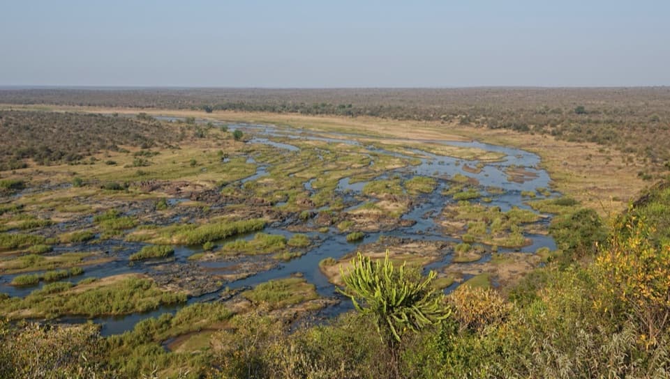
Olifants River Viewpoint: The S44 Outlook“Olifants River Viewpoint is coming up on the S44, separate from the rest camp's verandah. It's a short stop for the river's curve through the bush, with the Lebombo range to the east.”
Plays as you drive up to Olifants River Viewpoint in the Parkwolf Kruger Tour Guide.
More stories near here in the app
- Olifants Rest Camp: Lunch Above the River
- The Hyena's Bone-Crushing Meal
- The Spoonbill’s Sideways Sweep
- 298 audio storiesacross Kruger’s roads, triggered by GPS as you drive
- Wildlife heatmapsfor Lion, Leopard, Elephant, and 13 more
- Works offlinemaps, 3 trails, 129 places, and audio download before you lose signal
- CarPlay readysimple controls built for the drive
“Fantastic app with many points of information… It’s great to just turn on while you’re driving and it gives you an audio tour of the national Park. We love it!!!!”


Guide
More about Olifants River Viewpoint
A wide view over the riverOlifants River Viewpoint is a rocky, elevated roadside outlook on the S44, near but separate…
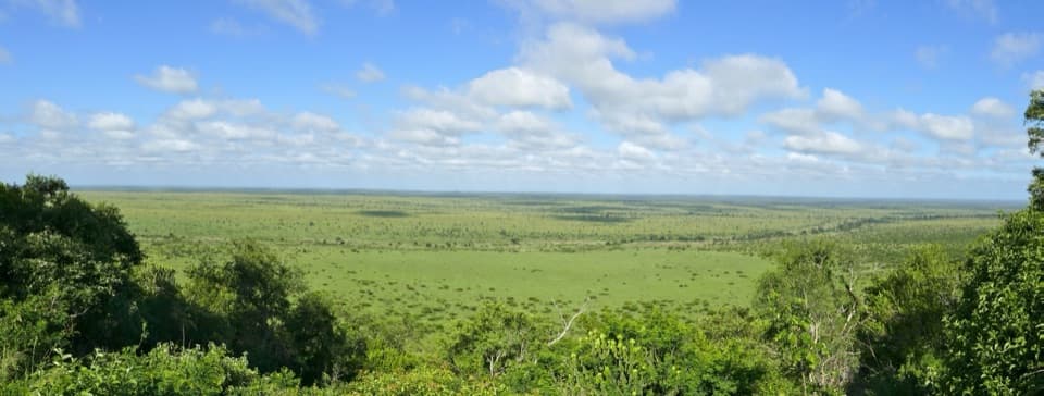
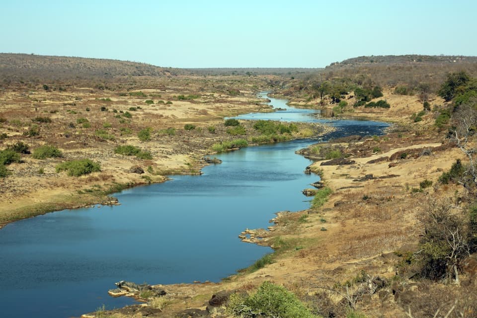
Olifants River Viewpoint is a rocky, elevated roadside outlook on the S44, near but separate from the verandah at Olifants Rest Camp. The Olifants River curves through the bush below, with the Lebombo range to the east. If you’re driving the Letaba–Olifants river road, this is a good pause for a wide landscape view; the panorama, not guaranteed wildlife, is its reliable payoff.
Look along the S44Scan the riverbanks at an unhurried pace.
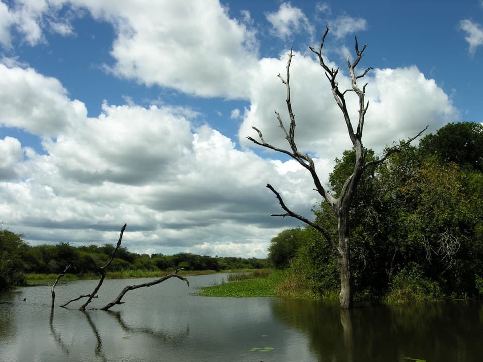
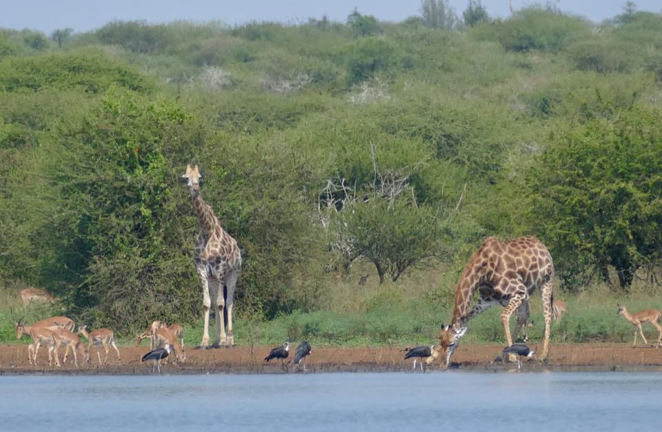
Scan the riverbanks at an unhurried pace. The S44 crosses mopane and riverine country, and reeds sometimes hide the water from the road. The Olifants corridor supports saddle-billed and black storks, which are sometimes seen along the route; elephants and other animals move through the wider area, but sightings at this stop vary.
Photograph the bendHold the river’s curve across the lower half of the frame and keep the dry, rocky banks in view.
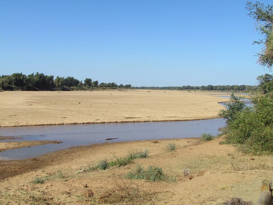
Hold the river’s curve across the lower half of the frame and keep the dry, rocky banks in view. That gives the river scale, especially in low water, when it narrows into blue pools between exposed banks.
Make it a simple stopThe viewpoint is on the S44 route between Letaba and Olifants.
The viewpoint is on the S44 route between Letaba and Olifants. Follow posted signs and current park rules before getting out of your vehicle; don’t assume another stretch of roadside is safe to stop at. Treat this as a simple roadside pause: the restaurant, cafeteria and shop are at Olifants Rest Camp, a separate nearby facility.
Wildlife
Wildlife in Kruger
 1,378 sightingsLionMost seen around 6 AMSighting map
 779 sightingsLeopardMost seen around 5 AMSighting map
 2,515 sightingsElephantMost seen around 5 PMSighting map
 449 sightingsWhite RhinocerosMost seen around 6 AMSighting map
 583 sightingsBuffaloMost seen around 5 PMSighting map
 521 sightingsWild DogMost seen around 6 AMSighting map
Sighting maps show where each species has been reported across Kruger. Wildlife moves, so no sighting is guaranteed.