
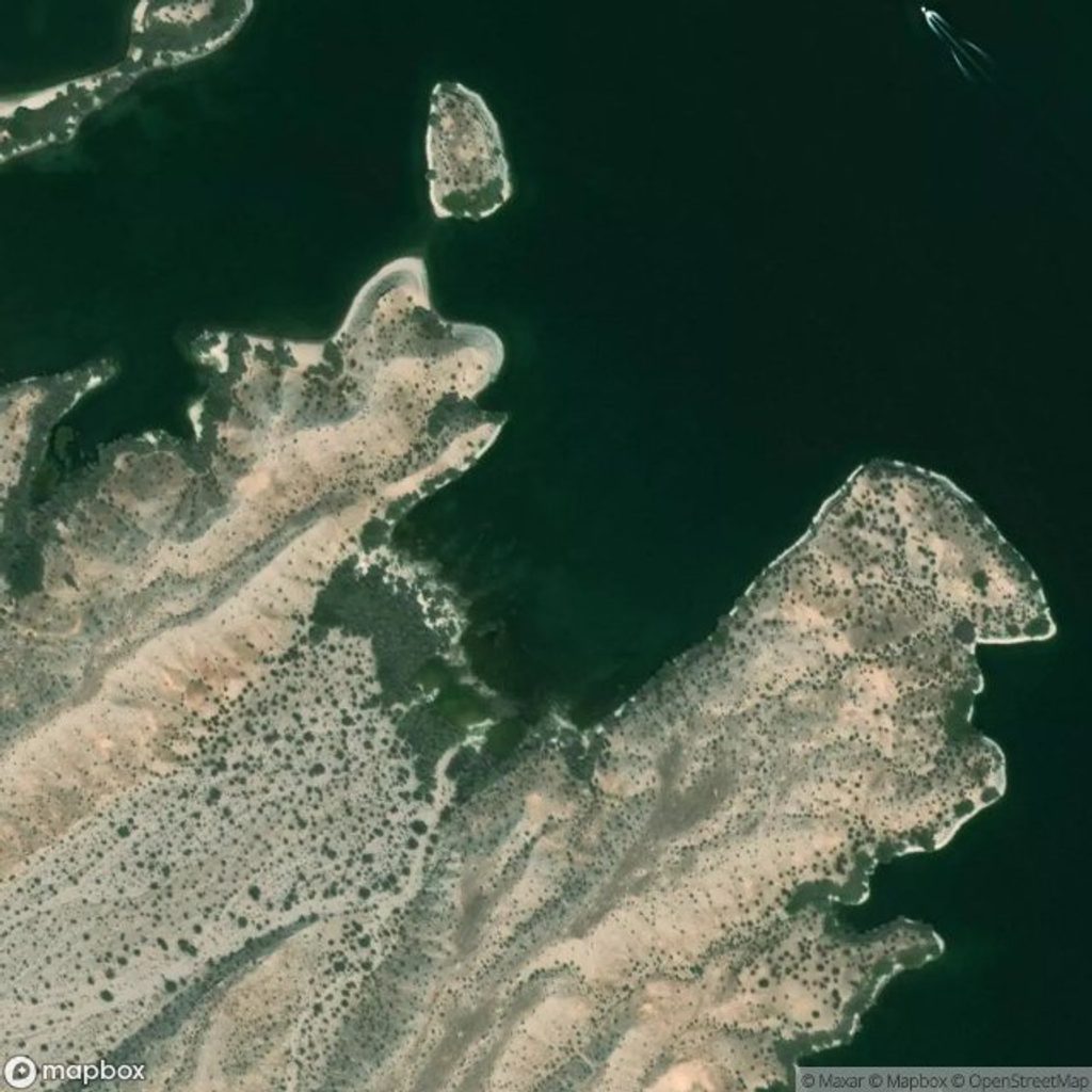
Place · 8.7 mi away
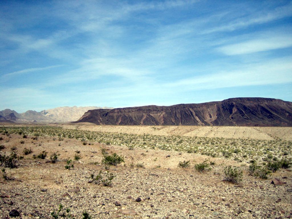
Ireteba Peaks sits inside designated wilderness on the Nevada side of the park, co-managed with the Bureau of Land Management. It’s the real-deal Mojave Desert: rugged, remote, and blissfully undeveloped. If you’re craving a do-it-yourself backcountry feel far from the park’s busier hotspots, this is your pocket of quiet.
This is wilderness, not a developed recreation site. Don’t look for restrooms, trash cans, picnic tables, or potable water—you won’t find them. What you do get: wide-open desert ridgelines and valleys suited to hiking, rustic-style camping, and even horseback travel. Hunting also occurs here, so you may encounter very few people but a variety of backcountry uses.
Heat and exposure are the headliners, with scarce water and little shade. There’s minimal signage and it’s not among the commonly trafficked “top trails,” so expect route-finding rather than a neatly waymarked path. Go self-contained and practice strict Leave No Trace. Plan conservatively and understand that desert terrain magnifies small mistakes.
Because there are no on-site services, handle bathrooms, water fills, and trash at developed areas elsewhere in the park before and after your outing. Treat this as a backcountry trip even if you’re only out for a day.
Given the heat and exposure, most visitors aim for cooler months and start early in the day. This area sees light use compared to the park’s marquee hikes, so crowding is rarely a factor any day of the week.
Confident navigators and desert hikers looking for solitude and a truly undeveloped landscape will feel right at home. If you prefer clear signage and facilities, choose a more developed part of the park.
Park conditions can change. Check current park alerts and plan accordingly—then pack extra water and a margin of time.
Place · 8.7 mi away
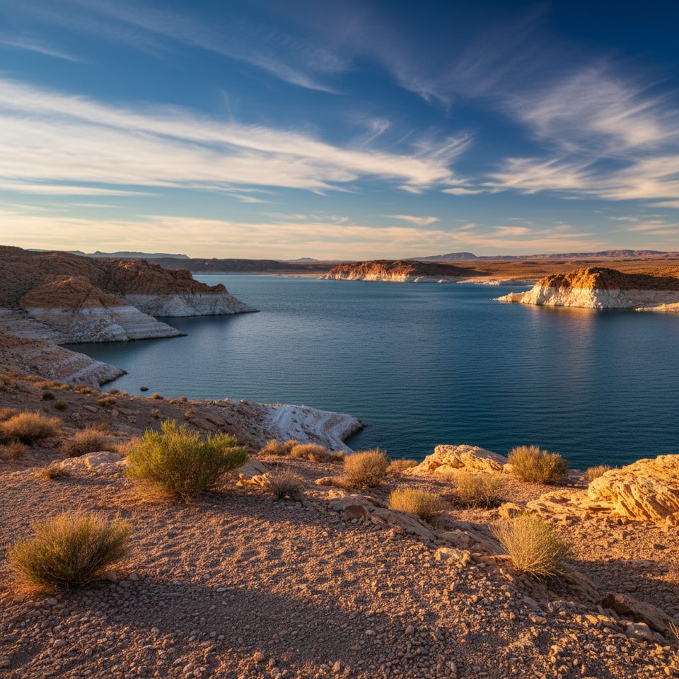
Place · 9.9 mi away
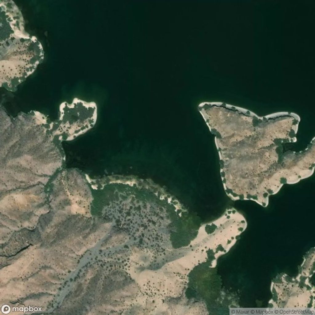
Place · 10.1 mi away
Place · 10.3 mi away
Moderate · 26.8 mi away
Challenging · 27.6 mi away
Moderate · 27.6 mi away
Challenging · 27.7 mi away

Parkwolf Tour Guide
