Parking
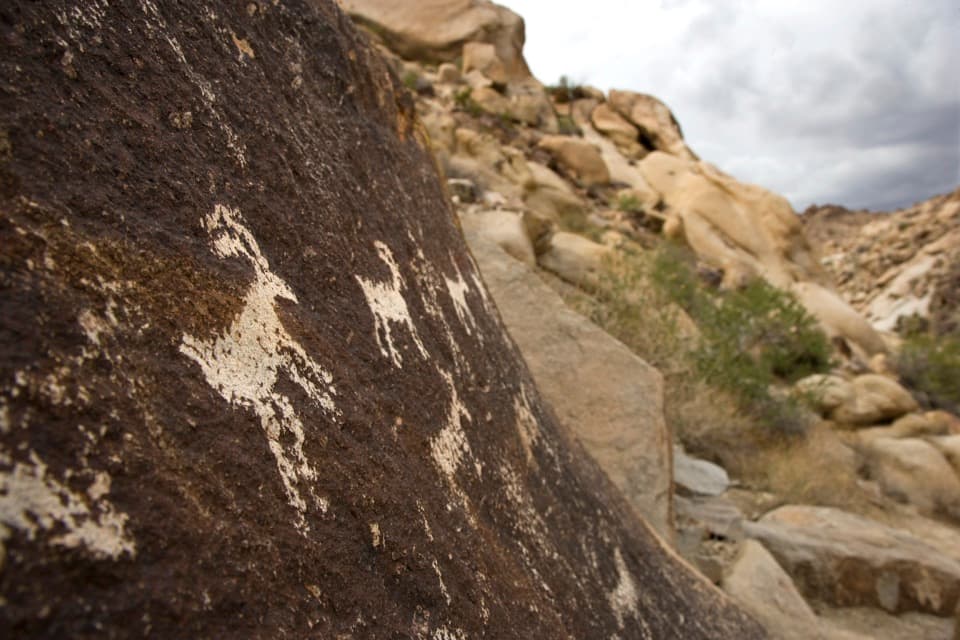
Use the shared White Rock Canyon parking area just off U.S. 93 before milepost 4, south of Hoover Dam.
#3 of 42 trails in Lake Mead
Lake Mead National Recreation Area, AZ · NV
A long, rough wash hike to an arch and river rim.
Overview
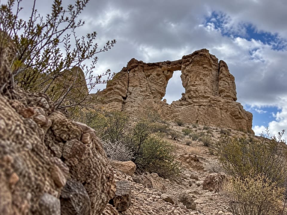
Liberty Bell Arch Trail is a 5.5-mile round-trip out-and-back from White Rock Canyon parking, through an unmaintained desert wash to World War II-era magnesium-mine remains, a natural arch, and a high overlook above the Colorado River. The National Park Service calls it strenuous and lists about 750 feet of elevation change; its estimate is four to eight hours. I'd allow about six. The arch is the headline, but the river rim is the better reason to keep going.
 Parkwolf’s verdictIs this the hike for you?
Map & elevation
Plan your hike

The highest, rockiest slopes around here are a summer buffet for grizzly bears.
Lake Mead Tour Guide
Parkwolf is a GPS audio tour guide for Lake Mead National Recreation Area. As you drive, it chimes in with what’s ahead: hidden gems, upcoming stops, history, geology, and wildlife, right through your car’s speakers.
See the Lake Mead audio tourRecorded for this trailhead
White Rock Canyon: The Hike to Arizona Hot Springs“You're nearing the White Rock Canyon trailhead, with hiking access to Arizona Hot Springs.”
Plays as you drive up to this trailhead in the Parkwolf Lake Mead Tour Guide.
More stories near here in the app
“Fantastic app with many points of information… It’s great to just turn on while you’re driving and it gives you an audio tour of the national Park. We love it!!!!”


Trail guide
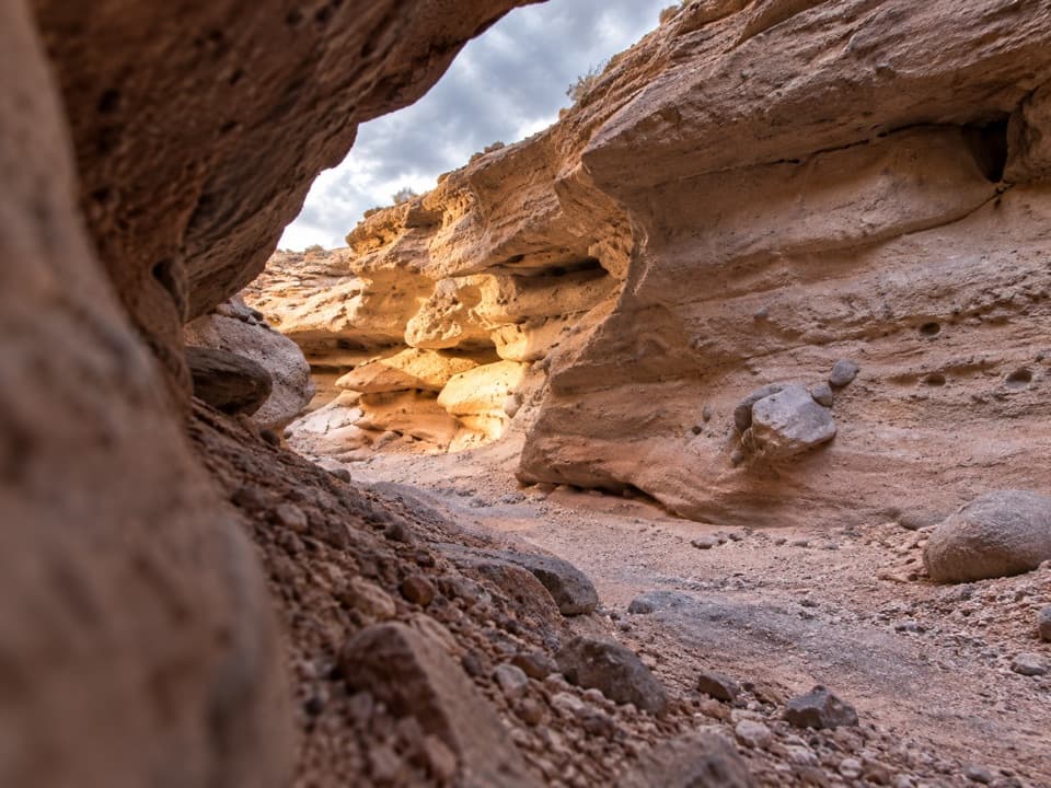
The shared parking area is just off U.S. 93 before milepost 4, south of Hoover Dam. From there the route drops into White Rock Wash and passes under the highway bridge. You'll walk through open desert with Black Canyon and the purple mountains in view, then through tan bedrock narrows. Around half a mile out, an older road branches away as a longer alternate; the main route keeps to the wash before climbing a side canyon.
That climb passes old stonework, cable, and a wooden ore-loading chute near the remains of a magnesium mine. A short spur reaches the mine site. The old workings are part of the view, but their safety hasn't been established, so stay outside the mine rather than exploring inside.
After the mine, the route descends into another wash and climbs toward faint forks on the ridge. This is the part where it's easiest to lose the line: keep to the westward route toward the arch and overlook instead of following an alternate back toward other canyons. Liberty Bell Arch comes into view from the north side. The mapped route continues beyond it to the flat-topped edge of Black Canyon, roughly half a mile farther on.
From the rim, the Colorado River sits about 1,000 feet below. There's no river access from this hike. The saved route turns around at the overlook and returns the same way; optional peak scrambles and climbs onto the arch aren't included in the 5.5 miles. If the heat or loose footing is already slowing you down, turn back before the ridge rather than pressing on for the final view.
Liberty Bell is a free-standing natural arch in pale desert rock. The north-side view appears first, but the bell-shaped profile is clearer from the southern hillside. That change in angle is worth noticing before you head on. At the river overlook, frame the river far below the canyon rim to show the scale of the drop; keep to the walking route at the edge.
The mine dates to the World War II era, when magnesium was important to wartime industry. What remains is more striking than a tidy exhibit: hand-built stonework, cable, wooden loading gear, and ore-cart pieces along the old road. The mine's operator, production, and exact operating dates aren't established, so the visible remnants are the story to take away.
This is a fee area, so keep your park pass or proof of admission with the vehicle. Dogs are allowed on a leash no longer than six feet. The park lists the trail for winter, spring, and fall and closes it every May 15 through September 30; high heat or flash-flood danger can also bring closures outside that window. Check the National Park Service status before driving out, and remember that the trailhead has no drinking water.
This is a rough walk, not a quick stroll to a landmark. Soft sand, loose gravel, rocks, boulders, steep grades, and short ledges make the route slower than the mileage suggests. There's little shade, no drinking water at the trailhead, and the forks are faint. Choose it if you're comfortable following a lightly marked desert route and scrambling over uneven ground; skip it if you want a maintained path.
Wildlife
 525 sightingsBighorn SheepMost seen around 5 PMSighting map
 116 sightingsBurroMost seen around 7 PMSighting map
 18 sightingsBald EagleMost seen around 4 PMSighting map
 99 sightingsWhite PelicanMost seen around 7 AMSighting map
 145 sightingsGreat Blue HeronMost seen around 7 AMSighting map
 106 sightingsTurkey VultureMost seen around noonSighting map
Sighting maps show where each species has been reported across Lake Mead. Wildlife moves, so no sighting is guaranteed.
Keep exploring
 ChallengingWhite Rock Canyon Trail6.5 mi · 6 hr · At the trailheadThe rocky wash opens at the Colorado River.
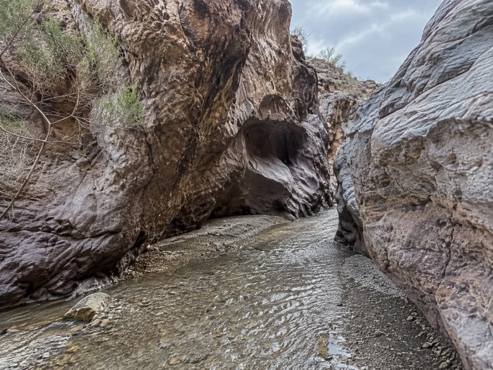 ChallengingArizona Hot Spring Trail5 mi · 6 hr · At the trailheadA rough desert traverse ends at hot pools in a slot canyon.
 ChallengingHorse Thief Canyon Trail8.8 mi · 5 hr · At the trailheadA long dirt-road walk to two green springs in Horse Thief Canyon.
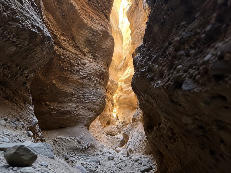 EasySpooky Canyon Trail1 mi · 1.3 hr · 0.6 mi awayA dark slot winds beneath a sculpted stone portal.
 ModerateSugarloaf Overlook Trail3.1 mi · 2.5 hr · 2.1 mi awayOld dam roads, sandy washes, and a Colorado River overlook.
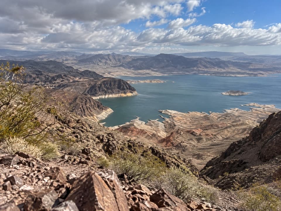 ChallengingFortification Hill Trail4 mi · 3.5 hr · 4 mi awayA steep desert climb to Lake Mead’s volcanic summit.
 ModerateBoy Scout Canyon Trail3.6 mi · 3.5 hr · 4 mi awayA sandy volcanic wash ends above a 330-foot plunge.
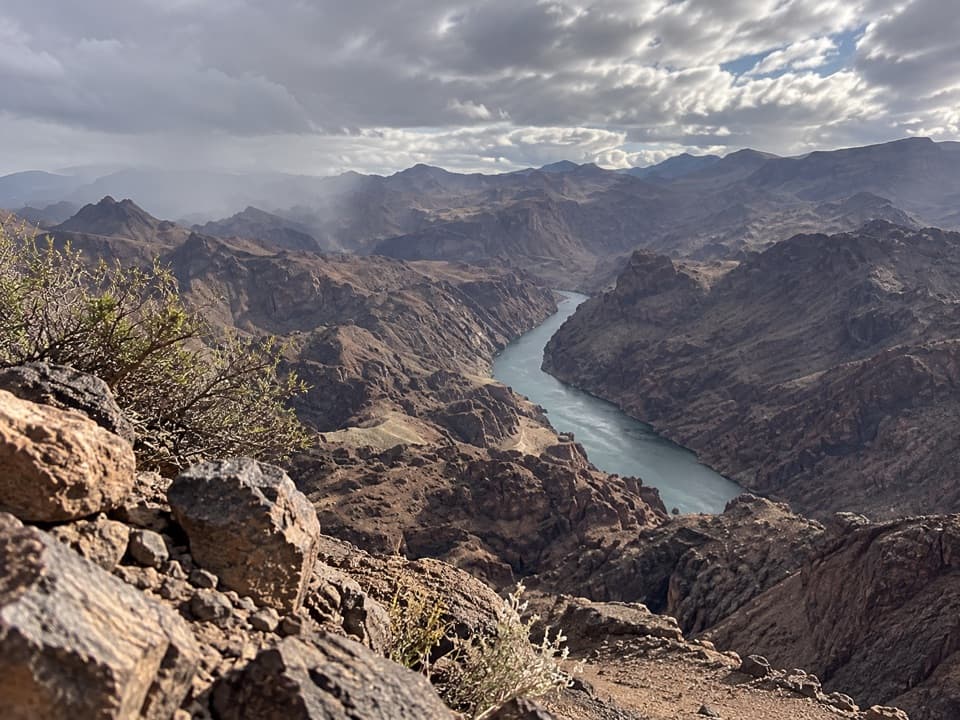 ChallengingColorado River Overlook Trail3.6 mi · 3.8 hr · 4 mi awayA river overlook reached by a rough wash, loose ridge, and scramble.
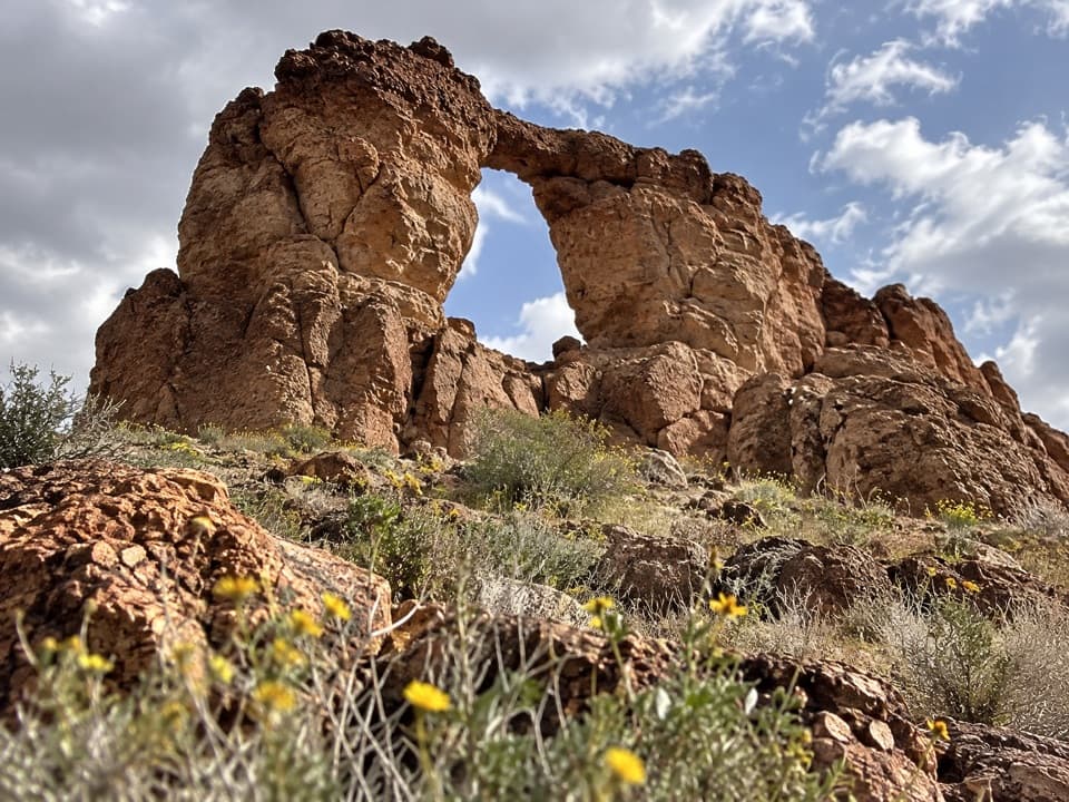 Sight · 1.5 mi awayLiberty Bell ArchA bell-shaped arch on a long, exposed desert hike.
 Sight · 2.1 mi awayArizona Hot SpringsA soak in canyon hot pools after a hard desert hike.
 Sight · 2.8 mi awayGold Strike Hot SpringsWarm pools tucked in a canyon, earned by a serious scramble.
 Sight · 3.3 mi awayHoover DamWalk the crest; a tunnel tour shows how the dam works.
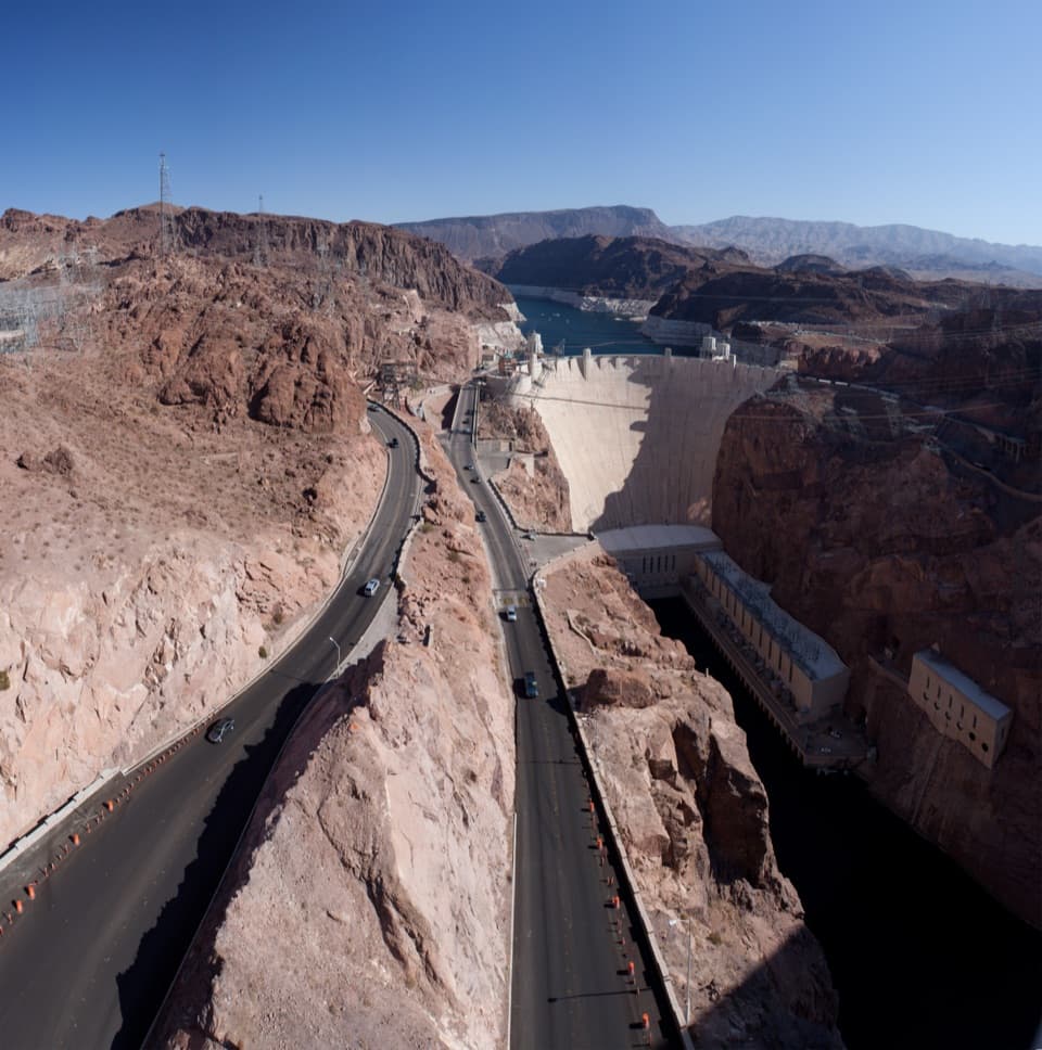 Sight · 3.5 mi awayMike O’Callaghan–Pat Tillman Memorial BridgeA dam view from a walkway perched high above the Colorado River.
 Beach · 4 mi awayKingman Wash BeachA desert cove that rewards the rough drive with open water.
 Sight · 4.4 mi awayLakeview Scenic OverlookA quick lake-and-desert panorama on the way to Hoover Dam.
 Restaurant · 5.1 mi awayThe Boat House Bar & GrillA floating restaurant and bar with views over the harbor and lake.
Parkwolf’s Lake Mead ranking
The audio tour guide for the drive, plus offline maps, trails, and wildlife heatmaps for when the signal drops.