
Place · 0 mi away
Moderate
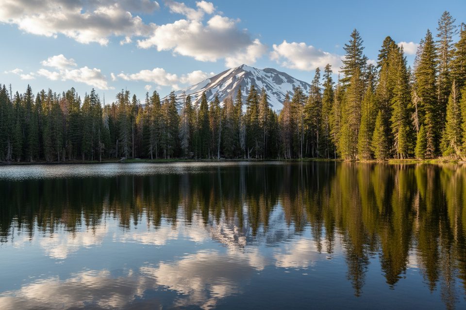
This is a scenic lake-to-lake route from the Summit Lake area that can be as short or as big as you want. The classic out-and-back to Echo Lake is about 4.7 miles total with roughly 800 feet of gain, taking most hikers around 2 to 2.5 hours. If you’ve got more gas in the tank, continue to Upper and Lower Twin Lakes and close an 8.6‑mile loop, or follow the longer through-trail segment (about 5.6 miles one way) that ultimately reaches the PCT. Expect an initial climb, a steeper drop to Echo Lake, and some loose gravel underfoot.
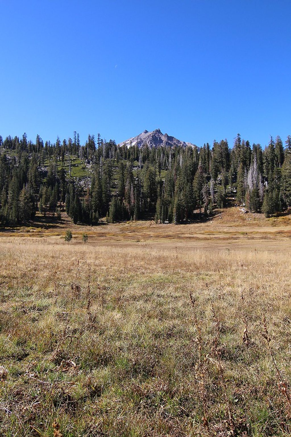
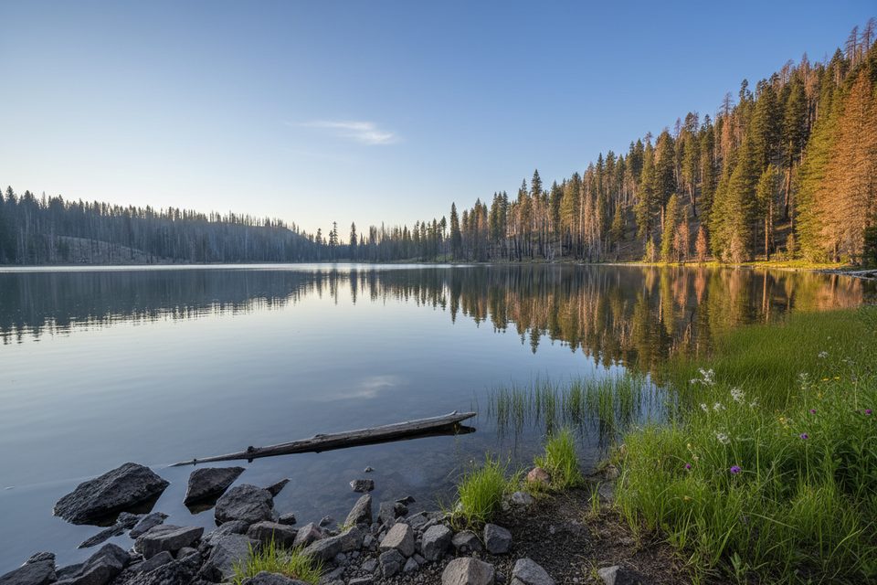
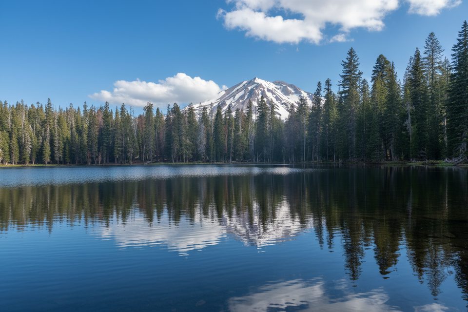
You’ll start near Summit Lake and cross a wet meadow on a boardwalk before climbing through manzanita and fir. The ridge grants peekaboo views of Lassen Peak and Chaos Crags, then the trail dives back into cooler forest for the approach to Echo Lake—an inviting blue‑green bowl with shaded shoreline. Past a small pond, the path rolls to Upper and then Lower Twin Lakes. This is lake-country hiking: clear water, breezes, and frequent wildlife sightings (think deer, squirrels, ducks, and even clouds of tadpoles in season). Wildflowers pop in early summer.
Much of the approach passes through burn scar from recent fires, so shade can be sparse, temperatures feel higher, and footing can be sandy or loose in spots. Some hikers find the open, silvered trunks and wider views striking; others just miss the shade. Wind can pick up on the ridge; nearer the lakes you’ll find more shelter.
Overall, this lands in the moderate range for most hikers: a steady climb from the start, a steep descent to Echo, then the payback climb on your return. The loop to the Twins adds distance and a bit more gain but stays reasonable. Expect a few loose, gravelly sections where poles help. Around Echo Lake, side paths can be faint—download an offline map. For context, widely used difficulty and steepness frameworks suggest a 4–5 mile hike with ~700–800 feet of gain sits near “moderate,” and short, steep stretches can feel tougher than the math implies [home.nps.gov](https://home.nps.gov/shen/planyourvisit/how-to-determine-hiking-difficulty.htm) [parks.canada.ca](https://parks.canada.ca/voyage-travel/experiences/sports/randonnee-hiking/niveaux-sentiers-trail-ratings) [trailsnh.com](https://trailsnh.com/tools/hiking-difficulty.php).
June through October tends to be the sweet spot. Early summer brings wildflowers; mid‑summer warms the lakes for a refreshing dip but also ramps up mosquitoes (especially at Twin Lakes). Start early for cooler temps in the burn area and calmer water for reflections. Weekdays see fewer people; even then, this area is quieter than Lassen’s headliners.
If you’re into clear alpine‑style lakes, moderate effort, and a mix of open vistas and cool shoreline breaks, this route delivers. If sustained shade is a must or loose footing unnerves you, consider a different forested walk and save this for a cooler day.
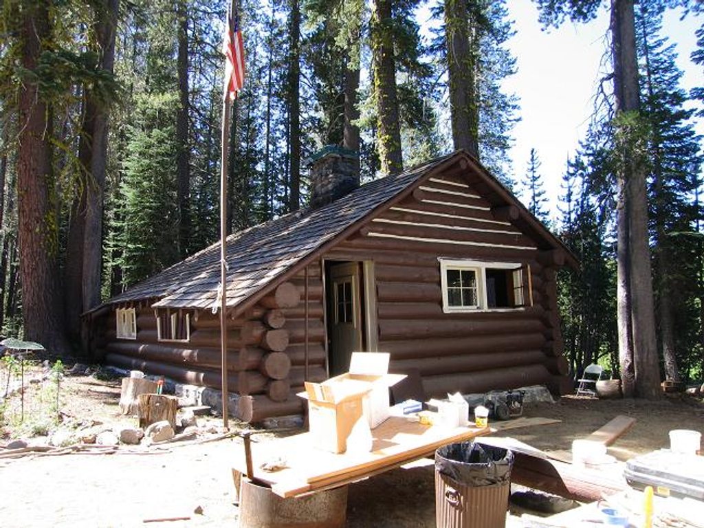
Park at the Summit Lake trailhead area near the Summit Lake Ranger Station; parking and restrooms are available in the Summit Lake campground complex.
Burn-scar exposure means hotter conditions and occasional falling-dead-tree hazards; mosquitoes can be intense near Twin Lakes; expect a steep, loose descent to Echo Lake and faint side paths—download offline maps.
Place · 0 mi away
Place · 0.3 mi away
Place · 0.4 mi away
Place · 2.1 mi away
Moderate · 0 mi away
Moderate · 0 mi away
Challenging · 0 mi away
Moderate · 0 mi away

Parkwolf Tour Guide
