
Place · 0 mi away
Challenging
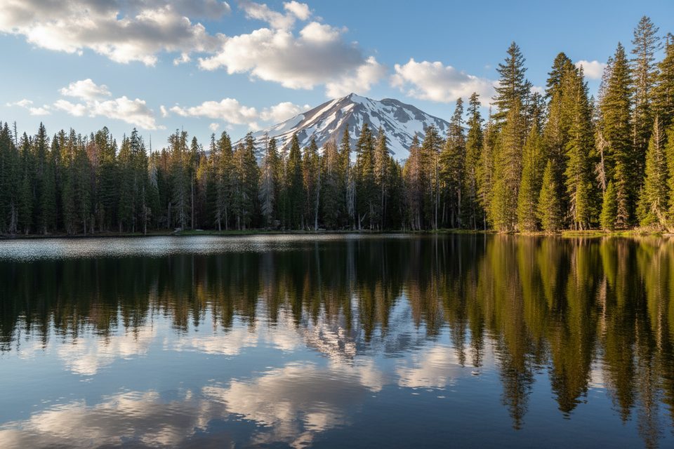
This classic lake-to-lake loop strings together a half‑dozen blue gems on a 10.6–10.8 mile total loop, starting and ending at Summit Lake. Expect rolling ups and downs (about 1,469 feet of gain), a high point around 7,320 feet, and a mix of shady forest and wide-open burn zones. It’s a rewarding day hike for strong hikers in 4.5–6.5 hours, and a popular one-night backpack. The hook: frequent swim spots, occasional Lassen Peak views, and far fewer crowds once you’re into the burn scar.
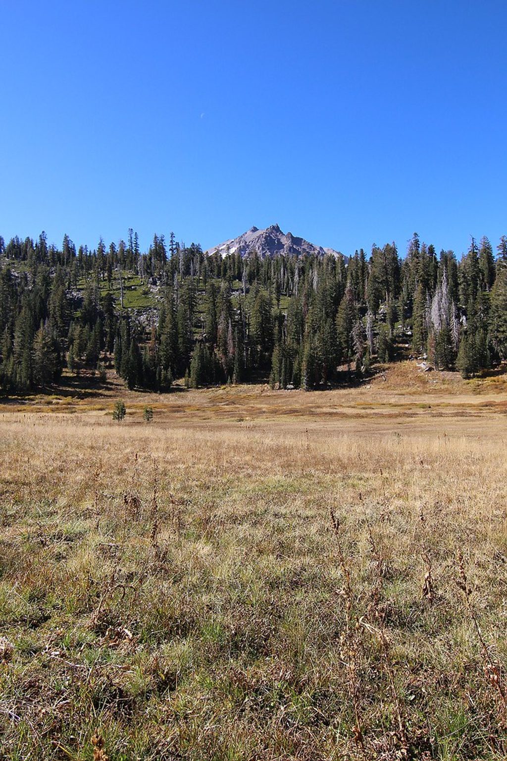
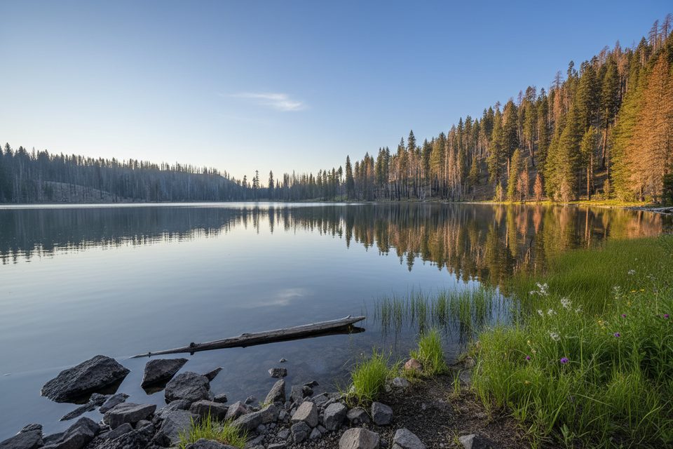
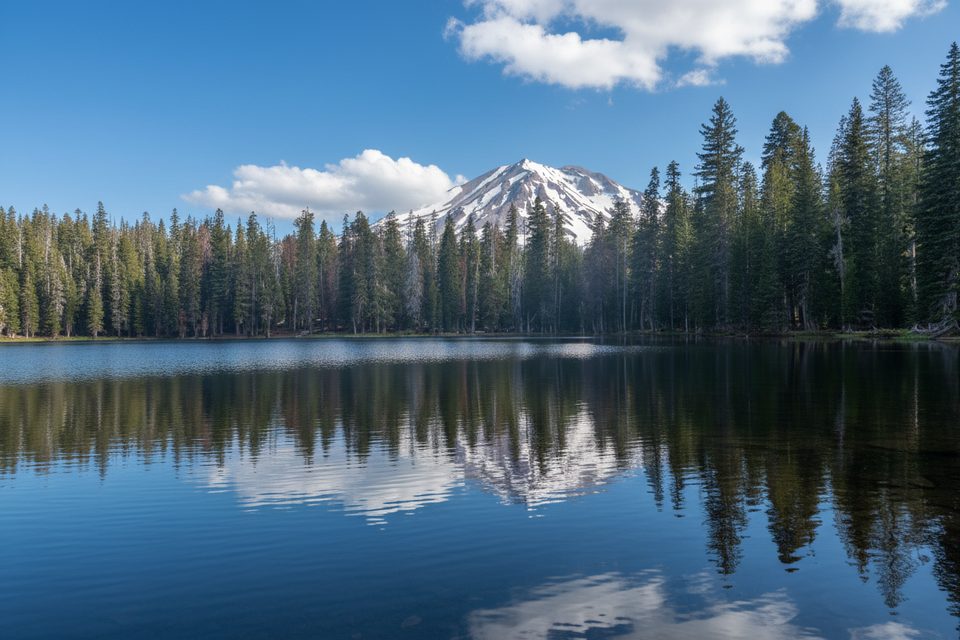
From the Summit Lake Ranger Station, the trail begins on a boardwalk and traces the east shore of Summit Lake. At the Corral Meadows junction, bear left. Views open to Lassen Peak and the cinder cone of Crescent Crater as you swing past Little Bear Lake toward Hat Mountain. Continue to Big Bear and Silver Lakes—both with pleasant forested pockets and established camps—then on to Feather Lake. The route jogs briefly along the Pacific Crest Trail near Lower Twin Lake before turning toward Upper Twin Lake. From Upper Twin to Echo Lake, watch for a diverse mix of wildflowers (including red mountain heather and primrose monkeyflower) before closing the loop back to Summit Lake.
Expect occasional downed trees and some overgrowth, especially beyond Silver Lake, where tread and junctions can be less obvious. Burned forests mean standing dead trees (snags) that can fall without warning—avoid lingering under them in wind. Portions of the loop are fully exposed; mid‑day can feel hot. Mosquitoes can be intense earlier in summer, notably near Lower Twin Lake and around Summit Lake; by late summer, bug pressure usually eases and swimming is prime.
Late summer through early fall delivers the most reliable experience: clearer tread, warmer swim temps, fewer bugs, and wildflowers still lingering in spots. Start early for cooler hiking and softer light across the lakes. Weekdays see lighter traffic. Spring or early summer can be beautiful but bring more mosquitoes and lingering deadfall; check current conditions before you go.
This loop is a popular overnight, and a wilderness permit is required for camping. There are good established sites near Big Bear and especially Silver Lake (set back from shore). Store food properly and keep your kitchen area away from your sleeping spot. The brief PCT segment near Lower Twin adds variety and helps with navigation.
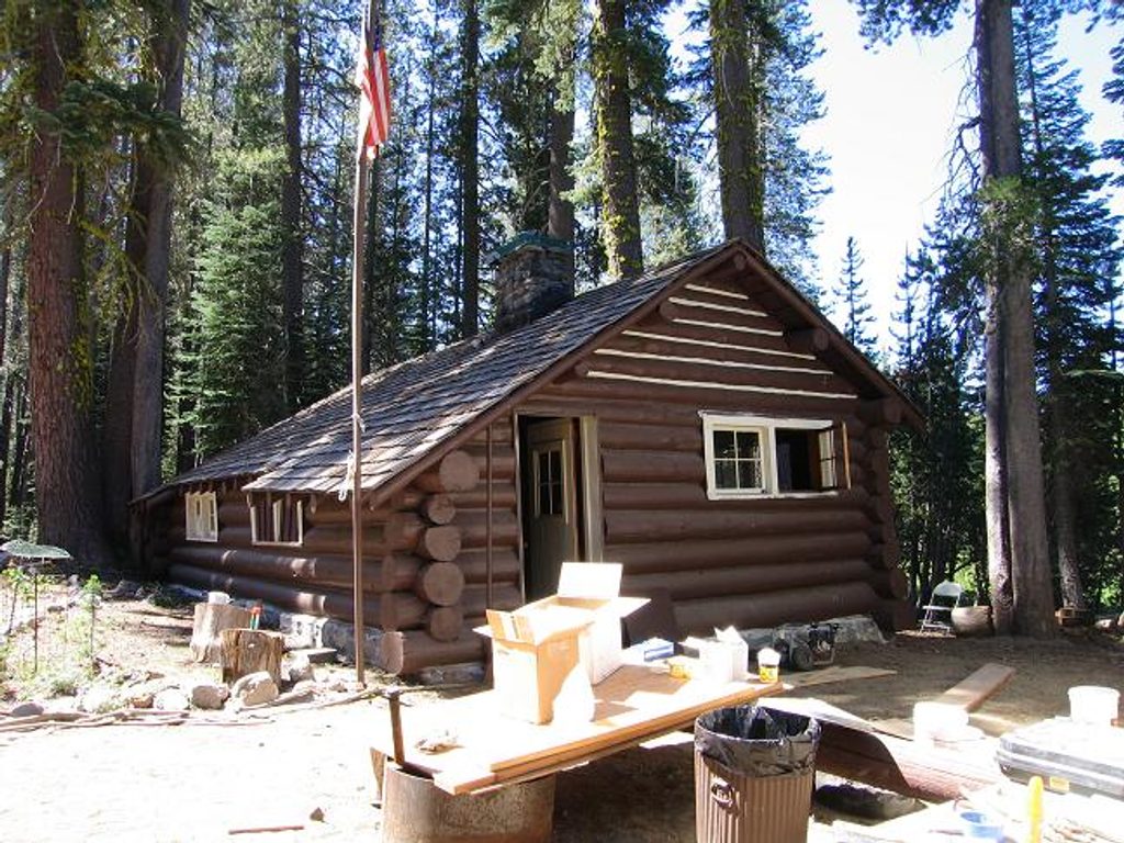
Park at the Summit Lake Ranger Station or at Summit Lake North/South Campgrounds. The trail starts on the boardwalk by the ranger station along the east shore of Summit Lake. Vault toilet available; no running water. Note: South Campground cannot accommodate RVs or trailers (except small tent trailers).
Burn scars from recent fires mean long sun exposure, unstable snags that can fall without warning, occasional downed trees, and overgrown sections (especially after Silver Lake) that complicate navigation. Mosquitoes can be intense near lakes earlier in summer—start early, carry repellent, and bring ample water treatment.
Place · 0 mi away
Place · 0.3 mi away
Place · 0.4 mi away
Place · 2.1 mi away
Moderate · 0 mi away
Moderate · 0 mi away
Moderate · 0 mi away
Moderate · 0 mi away

Parkwolf Tour Guide
