Parking
Start at the Summit Lake Ranger Station Trailhead parking area. Parking is limited; published sources do not give a lot capacity or overflow location.
Lassen Volcanic National Park, CA
A meadow boardwalk, Lassen Peak views and a blue-green lake.
Overview
Echo Lake Trail is a 4.4-mile out-and-back from the Summit Lake Ranger Station Trailhead to Echo Lake. Plan on 2–3 hours; the park rates it moderate and lists a 7,136-foot high point. It suits you if you want a real lake destination and don’t mind retracing the same route. This short Echo Lake hike turns around at the lake; the longer corridor toward Twin Lakes and the PCT is a different walk.
 Parkwolf’s verdictIs this the hike for you?
Map & elevation
Plan your hike

The highest, rockiest slopes around here are a summer buffet for grizzly bears.
Lassen Volcanic Tour Guide
Parkwolf is a GPS audio tour guide for Lassen Volcanic National Park. As you drive, it chimes in with what’s ahead: hidden gems, upcoming stops, history, geology, and wildlife, right through your car’s speakers.
See the Lassen Volcanic audio tourRecorded for this trailhead
Summit Lake Trailhead: The Echo Lake Walk“You’re approaching the Summit Lake Ranger Station trailhead, the start of the Echo Lake hike.”
Plays as you drive up to this trailhead in the Parkwolf Lassen Volcanic Tour Guide.
More stories near here in the app
“Fantastic app with many points of information… It’s great to just turn on while you’re driving and it gives you an audio tour of the national Park. We love it!!!!”


Trail guide
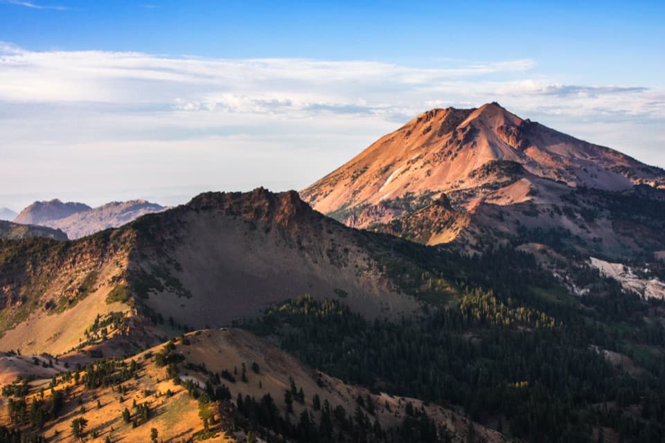
A short boardwalk crosses a wet meadow, then the trail joins Summit Lake Trail at about 0.4 mile. You climb through fir forest before the trees open into manzanita, with a view toward Lassen Peak. At the Cluster Lakes Loop junction, stay on the Echo Lake branch. The route then drops back into fir forest to the lake.
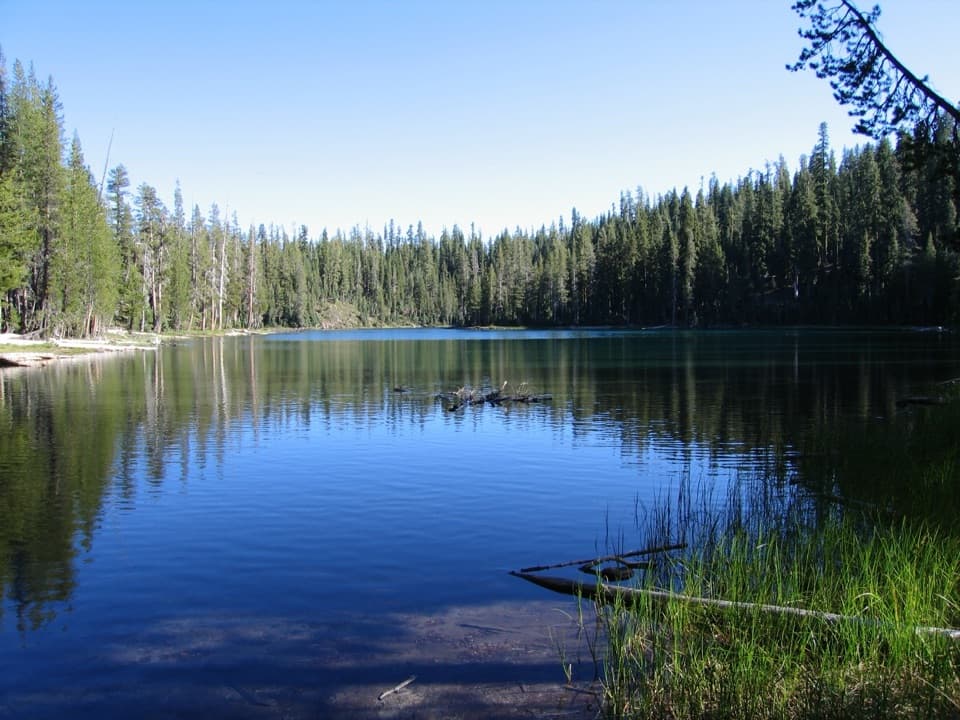
Echo Lake is the payoff: green-blue water along a shaded fir shoreline, with room to pause before the walk back. The shore works well for a picnic or swim. If you’re taking a photo, include some of the wooded edge with the water; that gives a better sense of the small, forested basin. Pets aren’t allowed on park trails or in the lake.
Parking at the Summit Lake access is limited. The route is partly sun-exposed, and current park conditions warn that standing dead trees in the 2021 Dixie Fire-affected area can fall without warning; check conditions before setting out.
Wildlife
 103 sightingsBlack BearMost seen around 7 PMSighting map
 44 sightingsBald EagleMost seen around 7 AMSighting map
 348 sightingsMule DeerMost seen around 7 PMSighting map
 17 sightingsSandhill CraneMost seen around 6 AMSighting map
 47 sightingsGreat Blue HeronMost seen around 7 AMSighting map
 12 sightingsGreat EgretMost seen around 7 AMSighting map
Sighting maps show where each species has been reported across Lassen Volcanic. Wildlife moves, so no sighting is guaranteed.
Keep exploring
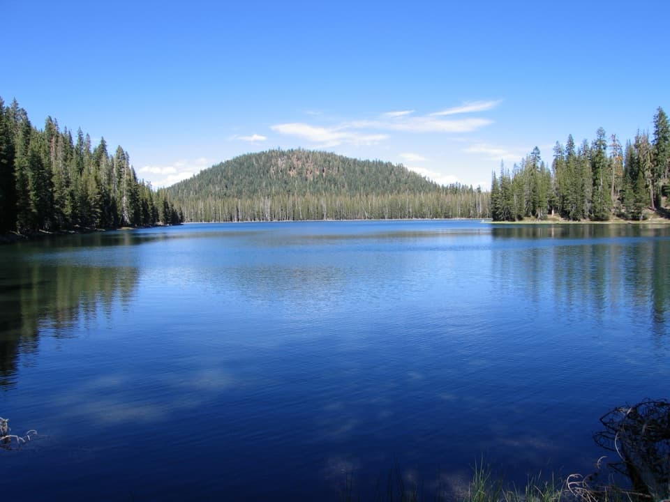 ChallengingCluster Lakes Loop11.9 mi · 7 hr · 0.1 mi awayEight lakes, volcanic views, and a stretch that demands route finding.ModerateUpper and Lower Twin Lakes Trail8.8 mi · 4.8 hr · 0.1 mi awayA ridge climb links Echo Lake with two forested Twin Lakes
 ChallengingGrassy Swale Loop13.4 mi · 9 hr · 0.1 mi awayA long high-country loop through Grassy Swale and the Twin Lakes.
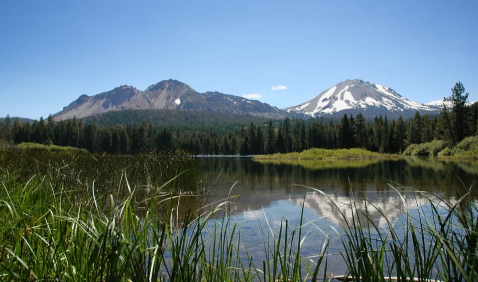
 EasySummit Lake Loop0.8 mi · 30 min · 0.3 mi awayA short lake loop with Lassen Peak across the water.
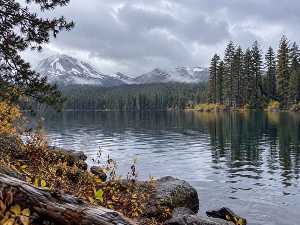 ChallengingSummit Lake, Corral Meadow and Bench Lake Loop10.1 mi · 5.5 hr · 0.7 mi awayA long, high-country loop links Corral Meadow, Kings Creek and Bench Lake.
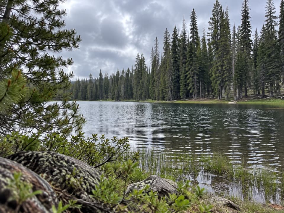 ModerateSummit Lake South to Kings Creek Trail Connector1.7 mi · 1.3 hr · 0.7 mi awayA meadow connector descends from Summit Lake South to Kings Creek.
 ModerateNobles Emigrant Trail: Hat Lake to Butte Lake13 mi · 5.5 hr · 2.1 mi awayA historic forest traverse opens onto Cinder Cone’s volcanic landscape.
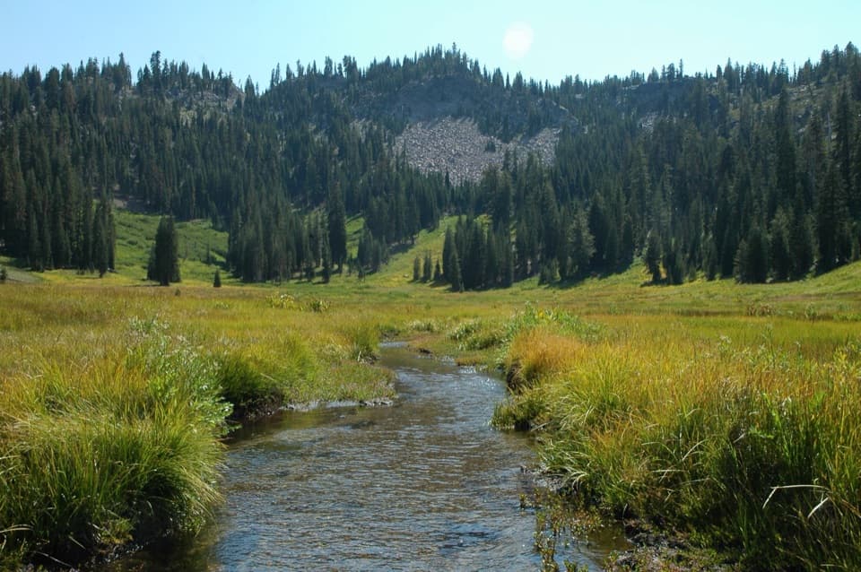 ChallengingHat Creek Headwaters Trail6.1 mi · 5 hr · 2.2 mi awayA shuttle hike from creekside falls to meadow and lake country.
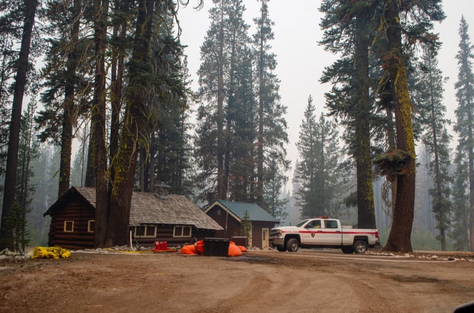 Sight · 0.1 mi awaySummit Lake Ranger StationA 1926 log cabin at the start of the Echo Lake hike.
 Campground · 0.3 mi awaySummit Lake North CampgroundHigh-country camping with Summit Lake and hikes close at hand.
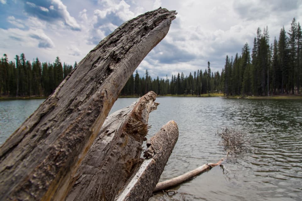 Sight · 0.3 mi awaySummit LakeA lake break with better swimming on the north shore.
 Campground · 0.5 mi awaySummit Lake South CampgroundA short lake walk and dark skies define this tent campground.Sight · 2.1 mi awayParadise MeadowsA stream threads a high meadow beneath a rocky glacial bowl.
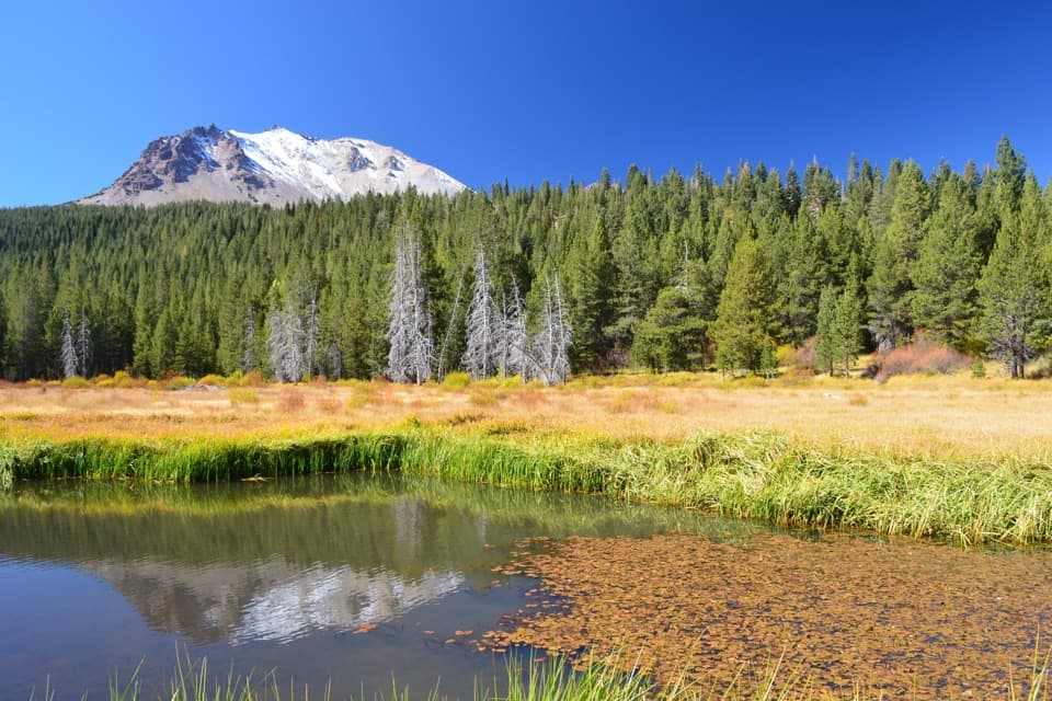 Scenic pullout · 2.2 mi awayHat Creek ViewpointA former lake is becoming meadow, still fed by spring water.
 Sight · 2.4 mi awayDevastated AreaA short accessible loop through Lassen’s 1915 eruption story.
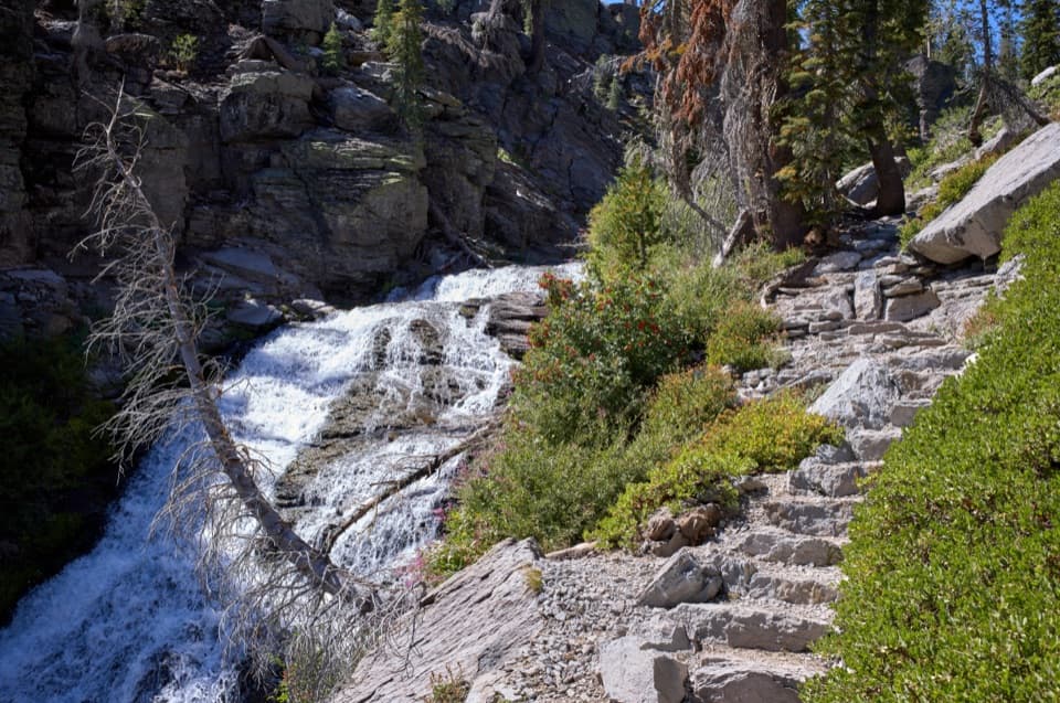
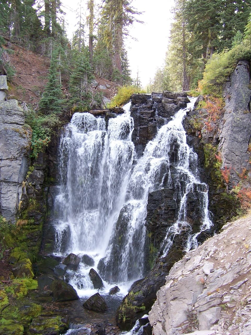 Sight · 2.8 mi awayKings Creek FallsThe creekside stone steps are half the payoff.
Parkwolf’s Lassen Volcanic ranking
The audio tour guide for the drive, plus offline maps, trails, and wildlife heatmaps for when the signal drops.