
Place
Moderate
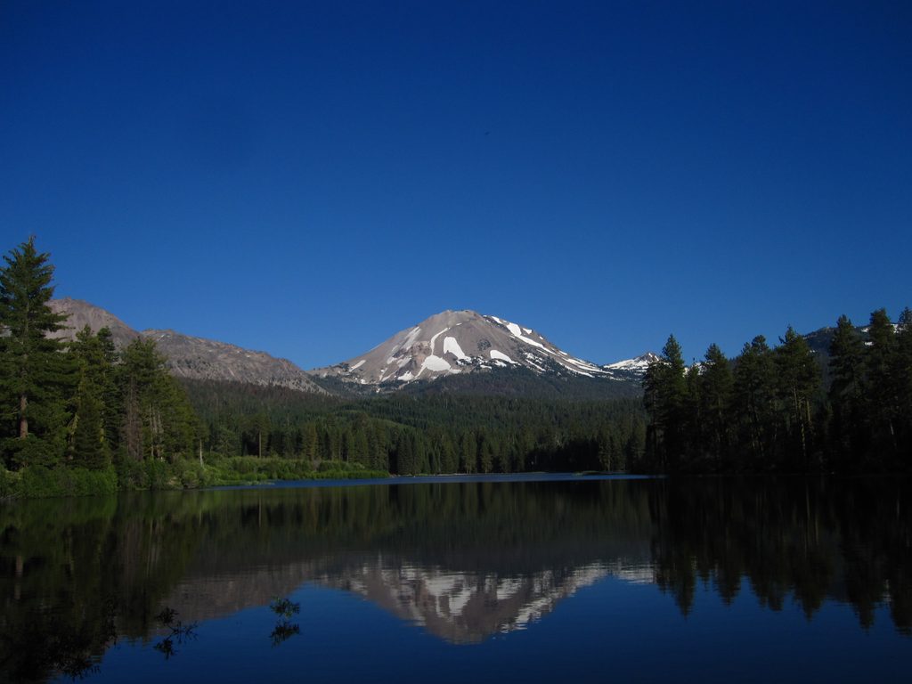
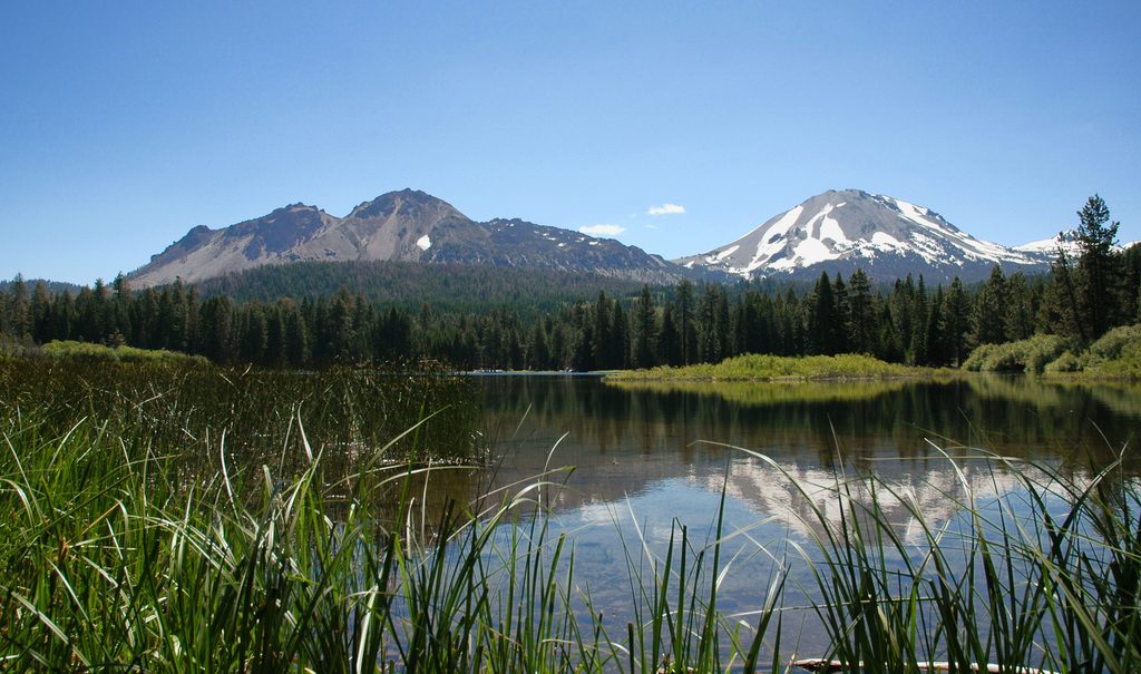
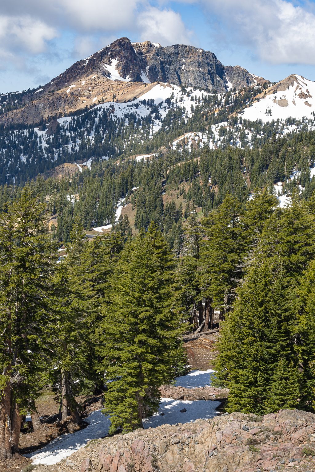
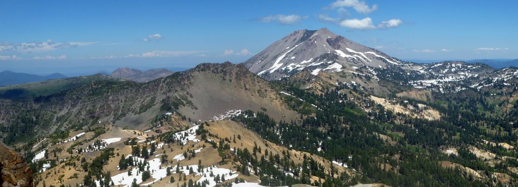
This is the Pacific Crest National Scenic Trail as it threads through Lassen Volcanic National Park—a classic backcountry corridor with a volcanic backdrop and a whole lot of quiet. Expect forested ridges, meadows, and big‑sky views tied to the southern Cascades and the nearby 10,457‑foot Mount Lassen. The PCT is non‑motorized and designed for immersive travel; you’ll feel far from roads and development.
Because the PCT is a thru‑trail, most day hikers sample it via connected routes. A representative day outing inside the park is 13.3 miles total (out and back) that uses the PCT between Warner Valley and Boiling Springs Lake, with about 2,434 feet of gain. Another described option is an 11.6‑mile loop that includes 4.8 miles on the PCT (that PCT segment gains about 500 feet). Use these as templates to plan your own in‑and‑out or shuttle day on the Lassen section.
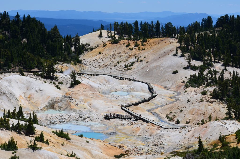
You’re walking the transition zone where the Sierra Nevada yields to the southern Cascade Range—ancient bedrock draped by old volcanic flows and sediments. Volcanic soils and elevation‑driven moisture mean lush forests, punctuated by open views of the Cascade crest. Near Warner Valley, the corridor ties into hydrothermal country around Boiling Springs Lake, adding a distinctly Lassen flavor to the PCT’s big‑miles feel.
Keep your eyes open for black bear, deer, bobcat, mink, and marten. In fall, the Pacific Flyway lights up—migrating birds often pass overhead on clear days, making this stretch sneakily good for birding from the trail.
Grades vary by segment, but the Lassen corridor trends “moderate” for most day samplers, with solid elevation change on linked routes and a generally well‑built tread. It’s remote: plan water, weather, and navigation like you mean it. Immediately north of the park on Hat Creek Rim, exposure and heat can be real—if your day extends that way, carry extra water and sun protection.
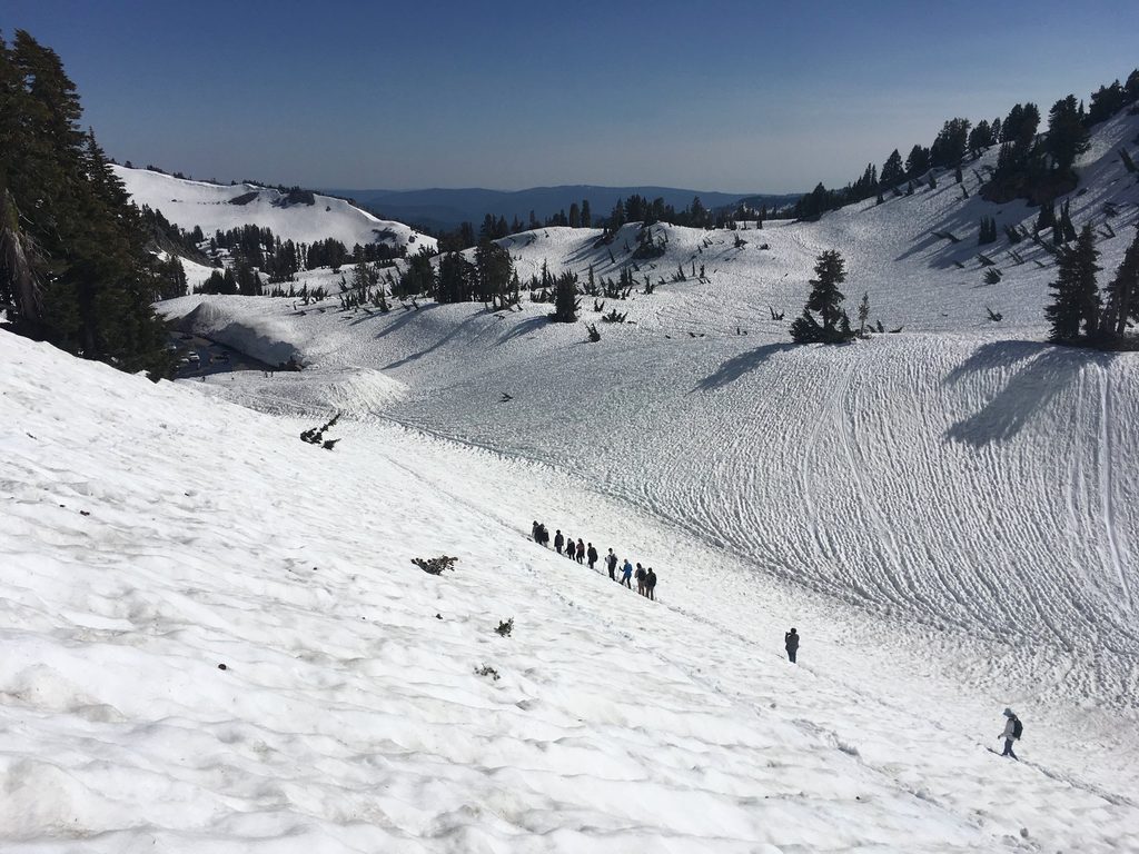
Late summer into fall is the sweet spot for clearer skies and that migration show. Shoulder seasons can be lovely but variable; snow and lingering wet conditions are possible at elevation. Weekdays see fewer people. For photography, morning or late‑day light plays well with forest edges and long views.
The trail crosses Highway 89 inside the park—a practical access and shuttle anchor. For the Boiling Springs Lake approach, many hikers stage from Warner Valley. The PCT is open to hikers (and stock in many areas). Permits are required in many designated wilderness and in national parks the trail traverses; check current rules for your planned itinerary. Sections can close due to wildfire or damaged infrastructure, so verify status before you go. Carry paper maps as a backup even if you’re navigating with GPS.
Inside the national park, no dogs on trails. Outside the park boundary along the PCT, dogs are commonly allowed on leash—plan your route accordingly.
Use the Highway 89 crossing inside the park for straightforward roadside access; for a day using the PCT toward Boiling Springs Lake, park at Warner Valley Campground and link in from there.
Verify fire and bridge closures before you go; carry paper maps. Expect seasonal snow at elevation. Water can be scarce and exposure high north of the park on Hat Creek Rim—pack extra.
Place
Place
Place
Place
Challenging
Challenging
Challenging
Moderate

Parkwolf Tour Guide
