Parking
Start at Lassen Peak parking area, which is the trailhead. Parking capacity is not published; on-site water and restrooms were not confirmed.

#1 of 59 trails in Lassen Volcanic
Lassen Volcanic National Park, CA
Cinder slopes and ridge switchbacks reach a volcanic summit.
Overview
Map & elevation
Plan your hike

The highest, rockiest slopes around here are a summer buffet for grizzly bears.
Lassen Volcanic Tour Guide
Parkwolf is a GPS audio tour guide for Lassen Volcanic National Park. As you drive, it chimes in with what’s ahead: hidden gems, upcoming stops, history, geology, and wildlife, right through your car’s speakers.
See the Lassen Volcanic audio tourRecorded for this trailhead
Lassen Peak: Roadside View or Summit“Up ahead is the Lassen Peak parking area, where you can enjoy the mountain without taking on the summit hike. In nineteen fifteen, its biggest eruption sent ash about two hundred miles east.”
Plays as you drive up to this trailhead in the Parkwolf Lassen Volcanic Tour Guide.
More stories near here in the app
“Fantastic app with many points of information… It’s great to just turn on while you’re driving and it gives you an audio tour of the national Park. We love it!!!!”


Trail guide
Lassen Peak Trail is a strenuous 5-mile out-and-back from Lassen Peak parking area to the maintained first summit. The trail starts at about 8,500 feet, climbs roughly 1,957 feet, and usually takes four to five hours with breaks. The high starting elevation, long uphill, and exposed rocky ridge make this a serious half-day hike, even though the route is short on a map. If steep climbs or altitude affect you, turn around before the ridge rather than counting on a quick summit push.
The five-mile figure assumes you can drive to the parking area. When seasonal road closures prevent driving to the trailhead, reaching the peak can require about 17 miles round trip, depending on where the road is closed; check access before setting out. There is no reservation or separate activity fee, though the park entrance fee may apply.
The lower trail climbs over packed dirt and sand-like cinders among twisted mountain hemlock and whitebark pine. This is the shadiest part, with tree cover mostly in the first mile. As the trees thin, views begin to open across the park. The trail then steepens into a long series of switchbacks on a bare, rocky ridge. Expect loose stones underfoot and little shade for most of the climb. Keep to the switchbacks: cutting across the slope damages it and can loosen rocks above people below.
The maintained trail reaches the first summit, where interpretive signs and a broad view make a clear stopping point. The route on the map ends here, and the standard five-mile hike returns by the same path. Hikers can continue up a steep route toward the true summit or descend into the crater to look at eruption remnants, but both are optional extensions beyond the maintained trail. They add rougher terrain and should not be treated as part of the mapped distance.
Lassen Peak is a plug-dome volcano formed about 27,000 years ago. It is the largest of more than 30 volcanic domes that erupted in the park over roughly 300,000 years. Its most powerful recent eruption came on May 22, 1915, during the 1914–17 eruption sequence; ash traveled as far as 200 miles east. The peak's shape and loose volcanic rock are part of the experience all the way up, not just a view from the top.
Snow can linger well into summer and is possible in any month; the trail is usually most straightforward after the snowmelt, often around June or early July. Winter travel requires mountaineering knowledge and equipment, and avalanche danger is possible. At this elevation, weather can change quickly, storms and lightning are a concern, and altitude can aggravate health conditions. Start early, carry layers and plenty of water, and take breaks. No water source along the trail was found, so carry food and water.
The trail starts at Lassen Peak parking area, which is listed for auto and bus/RV parking; lot capacity is not published. No trailhead food, water, or restroom information was confirmed, so arrive prepared. Pets are not allowed on the trail; service animals are permitted. As the trees thin, watch for the circular volcanic feature known as Vulcan’s Eye beside the lower route. From the upper ridge, include some of the rocky trail or cinder slope in a photo to show how the switchbacks climb above the trees. California tortoiseshell butterflies sometimes ride the updrafts over the peak.
Wildlife
 103 sightingsBlack BearMost seen around 7 PMSighting map
 44 sightingsBald EagleMost seen around 7 AMSighting map
 348 sightingsMule DeerMost seen around 7 PMSighting map
 17 sightingsSandhill CraneMost seen around 6 AMSighting map
 47 sightingsGreat Blue HeronMost seen around 7 AMSighting map
 12 sightingsGreat EgretMost seen around 7 AMSighting map
Sighting maps show where each species has been reported across Lassen Volcanic. Wildlife moves, so no sighting is guaranteed.
Keep exploring
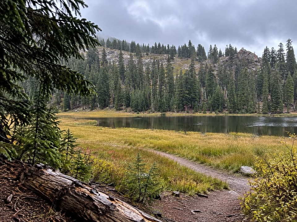 ModerateConard Meadows Shuttle Trail8 mi · 4.5 hr · 0.7 mi awayA shuttle links two lakes, Conard Meadows and a 75-foot waterfall.
 ChallengingTwin Meadows Shuttle Hike14.4 mi · 9 hr · 0.7 mi awayA faint, long downhill shuttle through high meadows and volcanic country.ModerateBumpass Hell Trail3 mi · 2 hr · 0.7 mi awayA steady first mile leads to a steaming basin boardwalk.
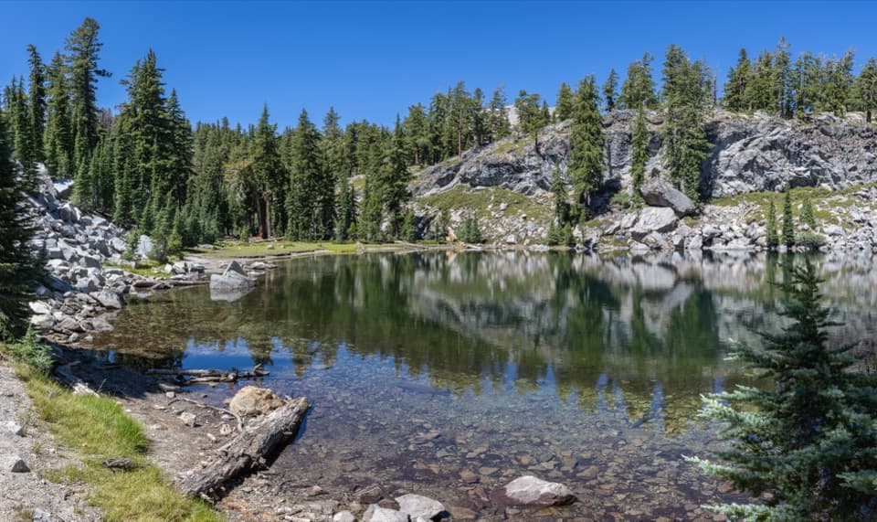 ModerateTerrace, Shadow, and Cliff Lakes Trail3.4 mi · 3 hr · 1.4 mi awayThree alpine lakes, a steep return, and Lassen Peak views.
 ModerateShadow Lake Shuttle Trail3.7 mi · 2.5 hr · 1.4 mi awayThree lakes, then a mostly downhill walk to Summit Lake
 EasyCrumbaugh Lake Trail2.6 mi · 1.5 hr · 1.7 mi awayTwo lakes, muted bubbles, and a meadow below Mount Conard.
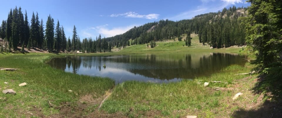 EasyCold Boiling Lake Trail1.6 mi · 54 min · 1.8 mi awayA short, mostly level walk to a lake that may still bubble.
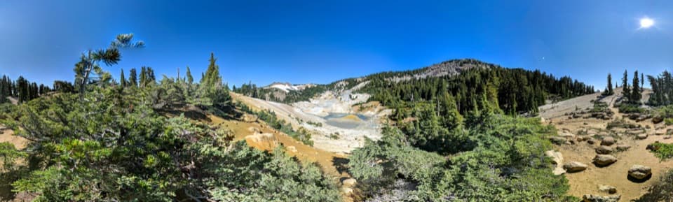 ModerateBumpass Hell via Cold Boiling Lake5.2 mi · 3 hr · 1.8 mi awayHike to Bumpass Hell from the east, via Cold Boiling Lake.
 Scenic pullout · At the trailheadLassen Peak Scenic VistaA roadside portrait of Lassen Peak without the summit hike.
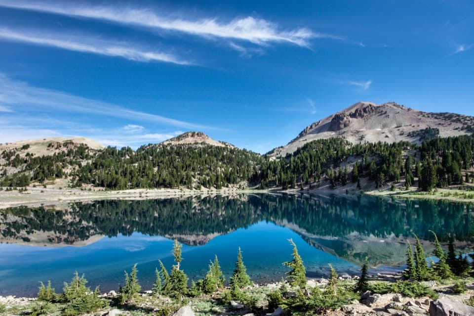 Sight · 0.6 mi awayLake HelenA blue alpine lake beneath Lassen Peak can stay icy into summer.
 Scenic pullout · 0.8 mi awayBrokeoff Volcano VistaA glacial boulder below the rim of an ancient volcano.
 Sight · 0.8 mi awayEmerald LakeGreen water, rocky shore, and Lassen Peak in the same frame.
 Sight · 1 mi awayLassen PeakA strenuous summit climb on one of the world’s largest plug domes.
 Sight · 1.1 mi awayBumpass HellWalk boardwalks among bubbling pools and steaming vents in a 16-acre basin.
 Scenic pullout · 1.5 mi awayLittle Hot Springs Valley OverlookBinoculars help reveal vents in the valley below.Sight · 1.7 mi awayCold Boiling LakeA short hike to a high-country lake with shy gas bubbles.
Parkwolf’s Lassen Volcanic ranking

The audio tour guide for the drive, plus offline maps, trails, and wildlife heatmaps for when the signal drops.




