Place · 1.4 mi away

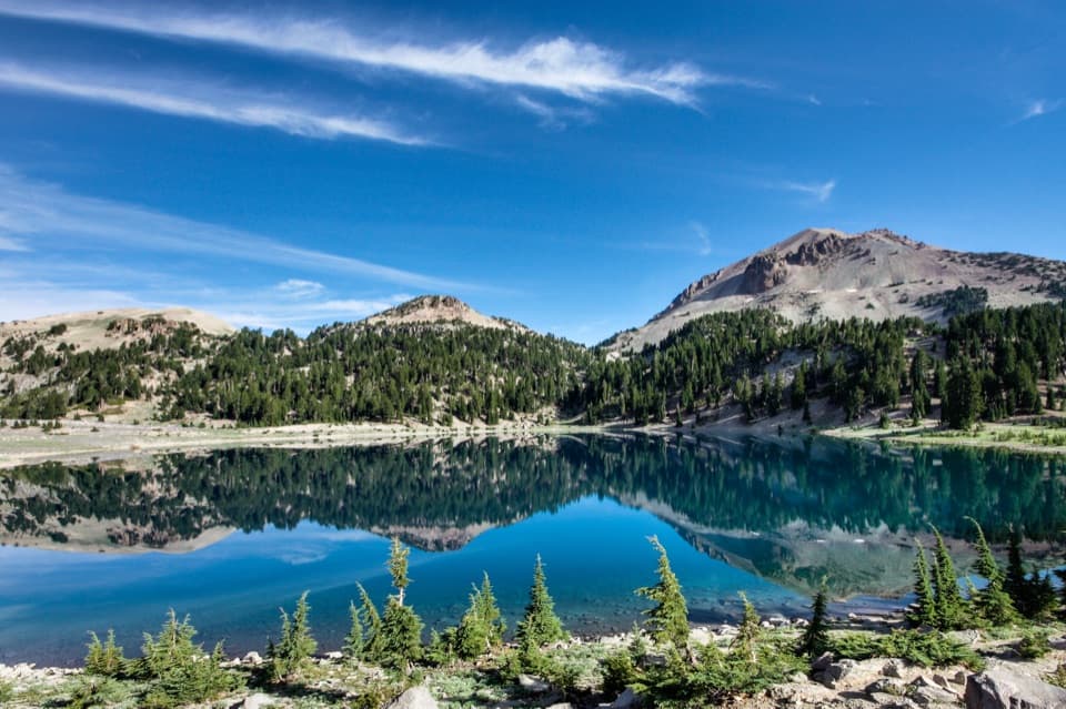
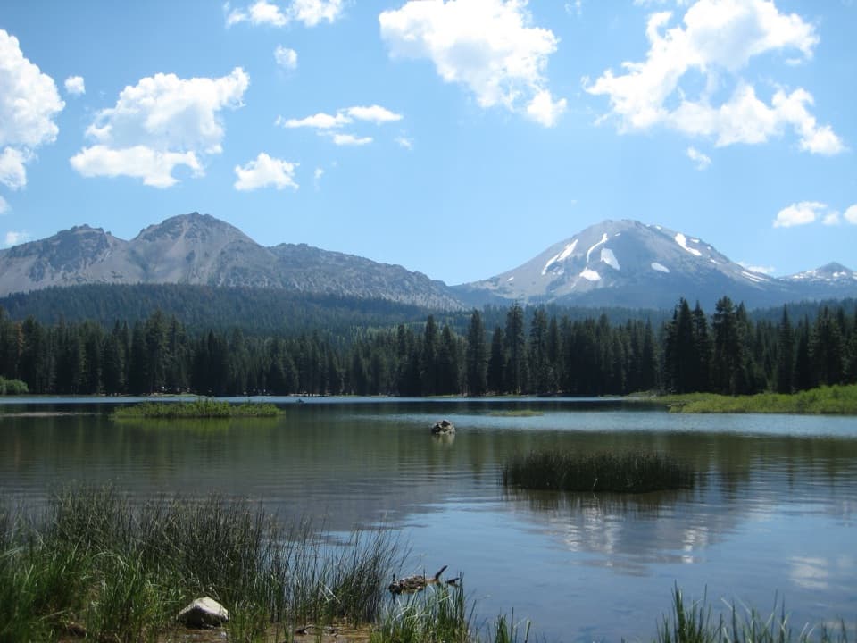
Lassen Peak is the park’s marquee summit: a 5‑mile round‑trip hike that climbs nearly 2,000 feet to the top of one of the world’s largest plug‑dome volcanoes. Expect big, cinematic views in all directions and a front‑row look at recent volcanic history. On clear days, Mt. Shasta anchors the northern skyline.
The trail starts around 8,450–8,500 feet and wastes no time climbing. You’ll begin among mountain hemlock and whitebark pine before the path breaks into open switchbacks on a rocky ridge. The tread is packed dirt with loose volcanic rock in places, and the exposure (sun and wind) kicks in after the first mile.
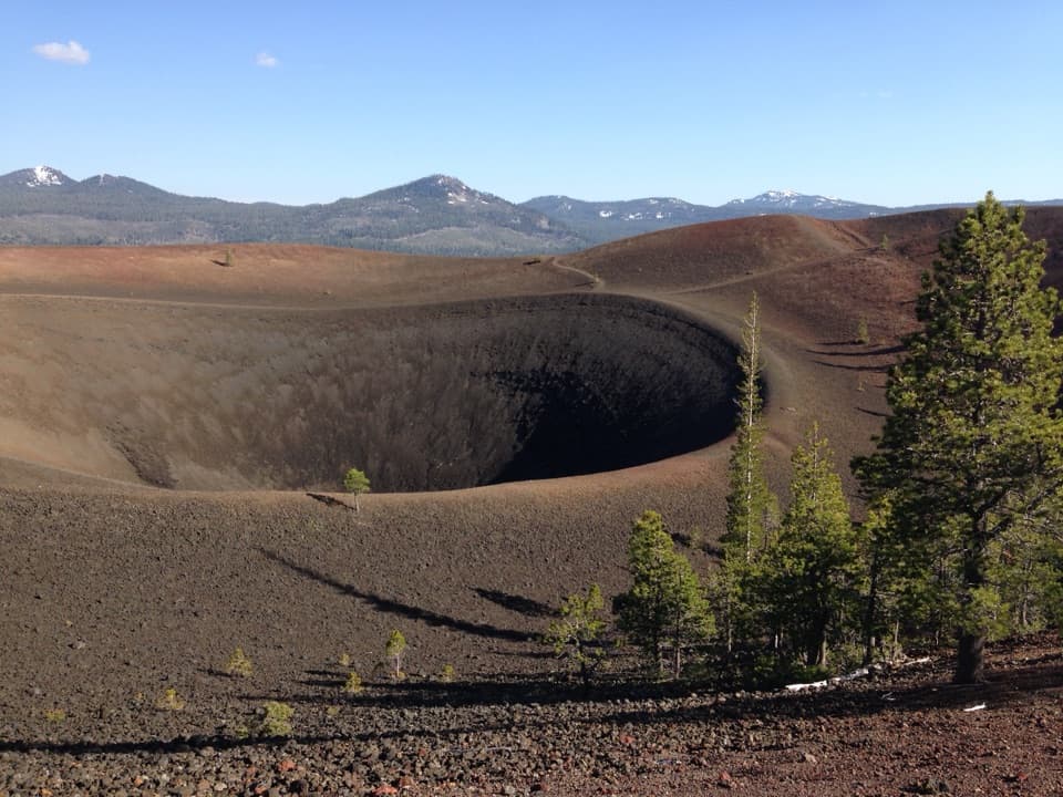
The maintained trail ends on a high summit knob with interpretive signs and a sweeping panorama. From there, confident hikers often take a short, steeper use‑path to the true high point or drop carefully into the crater for a closer look—then return the same way. Most hikers allow 3.5–5 hours total.
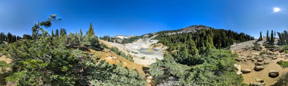
You’re walking on a plug‑dome volcano built from viscous dacitic lava. Lassen famously erupted in the 1914–1921 period; the summit area still shows rubble and crater features from that activity. It’s a rare chance to literally stand on the rim of recent volcanic history.
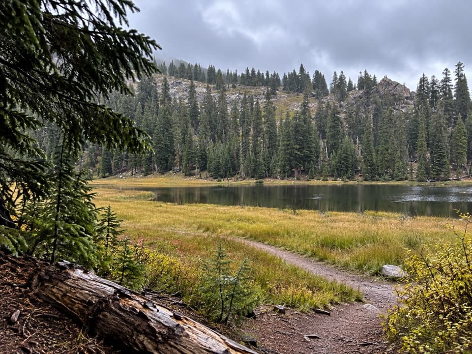
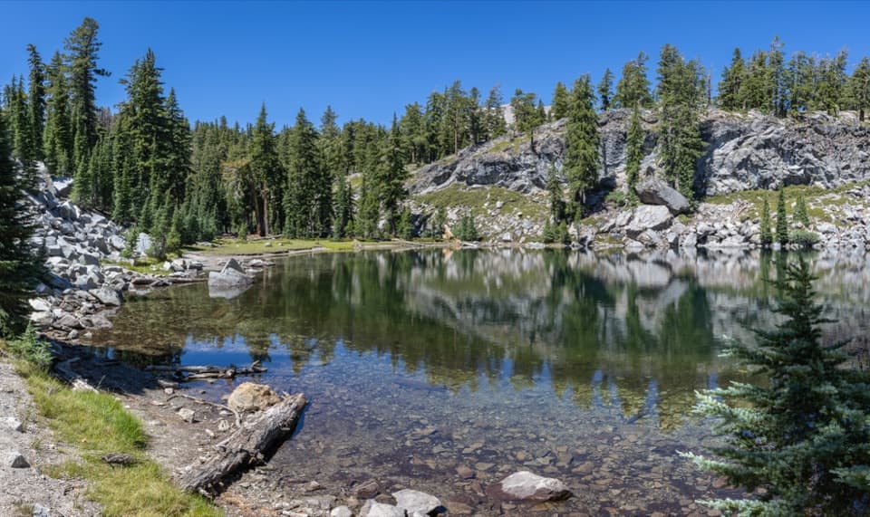
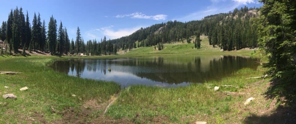
The trailhead sits along the park’s main road near high‑alpine lakes. There’s a paved parking lot and vault toilets at the trailhead, but no potable water—fill up at a visitor center before driving up. Pets aren’t allowed on the trail (they are permitted in developed areas and parking lots on leash). Seasonal snow can affect when the park highway and high trailheads open, so check current conditions before you go.
July through September is the prime window most years, when the road and summit trail are typically snow‑free. Aim for an early‑morning start (especially on weekends) for easier parking, cooler temps, steadier footing, and safer weather. For photography, morning light is clean and the air is usually clearer; sunset can be gorgeous but plan extra time and a headlamp for the descent.