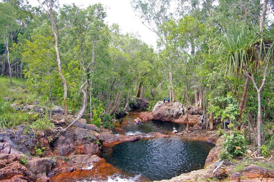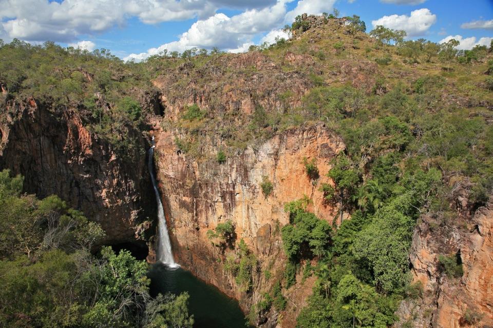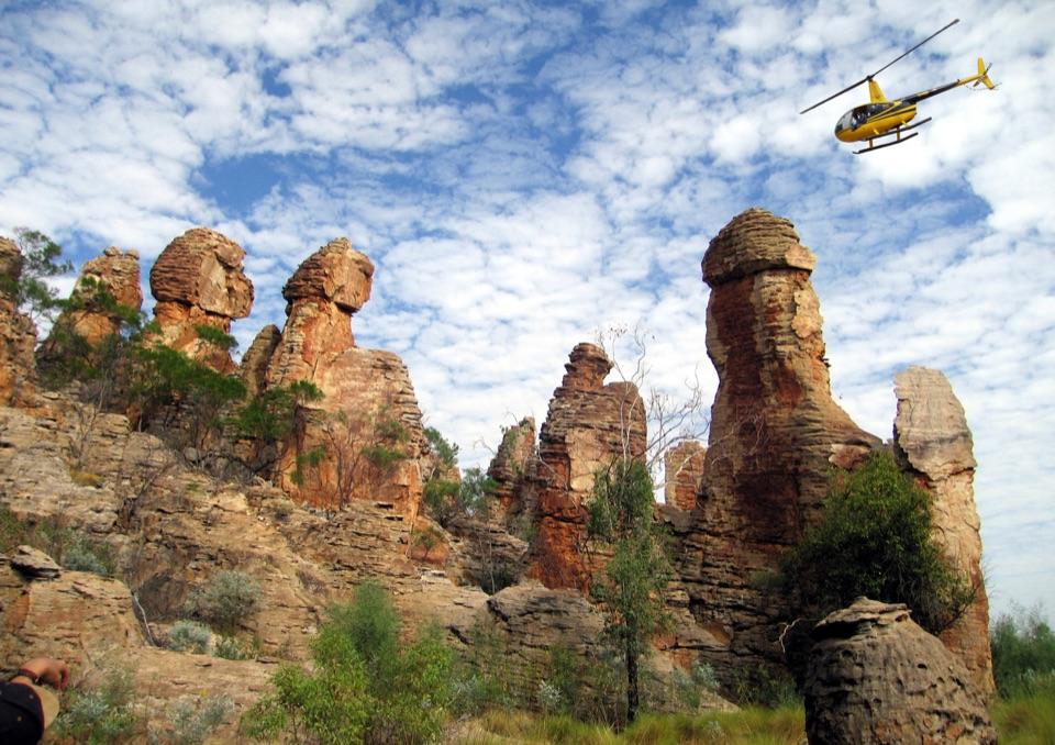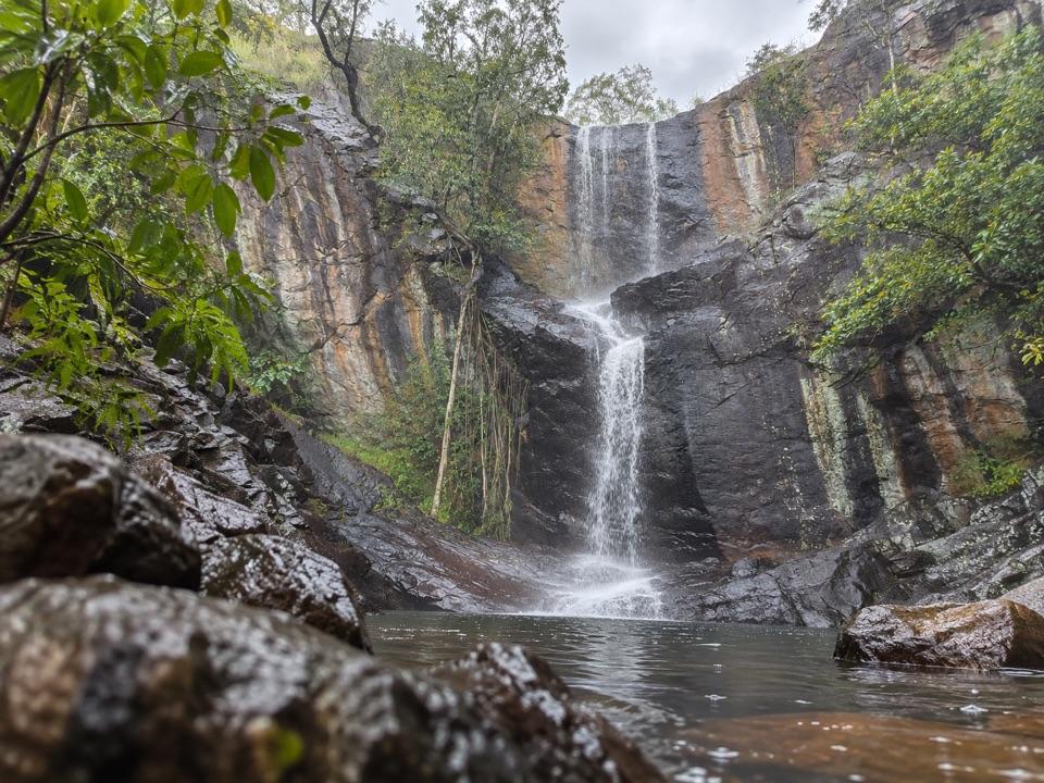
Robin Falls in Litchfield National Park

#10 of 17 sights in Litchfield

Sight · Litchfield National Park

Robin Falls

A three-tier creek fall worth the Dorat Road side trip.

Type
Sight
Nearest trail
0.5 km
  • Parking
  • Trailhead
Parkwolf audio tour68 stories across Litchfield’s roads
Download Parkwolf on the App StoreGet Parkwolf on Google Play

4.7 from 8,600+ ratings

Overview

About Robin Falls

Why stop

  • A short creek walk reaches a distinctive multi-tier waterfall.

Heads up

  • Rough access and slippery scrambling limit easy exploration.
Robin Falls is a small, three-tier waterfall near Adelaide River, on the scenic drive toward Litchfield rather than inside the national park. Keep it as a side trip for a short creek walk to a different kind of falls; it's separate from Litchfield's main loop of swimming holes. The lower pool is the natural stopping point, but whether it's swimmable depends on the season and current flow.
Parkwolf’s verdictA nearby waterfall worth the turn

Map

Where it is

Loading the Litchfield map
Full map
SightRobin Falls-13.35438, 131.12983
Keep this map with you offline in the Parkwolf app

Plan your stop

Before you go

2 active Litchfield alerts

  • ClosureSurprise Creek access closedSurprise Creek Falls and Surprise Creek Campground are closed because access is impassable.Official details
  • ClosureTabletop Track closed for extreme heatTabletop Track is closed to general access because of seasonal closure during extreme heat conditions; access is by permit only. Check current Tabletop Track status before travelling.Official details

Litchfield alerts
A park ranger sits on a dash-mounted phone, talking, as Parkwolf’s Tour Guide plays “Army Cutworm Moths: A Grizzly Bear Buffet” on Grand Loop Road below Dunraven Pass in Yellowstone
Parkwolf Tour GuideThe highest, rockiest slopes around here are a summer buffet for grizzly bears.

Litchfield Tour Guide

Your drive to Robin Falls, narrated.

Parkwolf is a GPS audio tour guide for Litchfield National Park. As you drive, it chimes in with what’s ahead: hidden gems, upcoming stops, history, geology, and wildlife, right through your car’s speakers.

See the Litchfield audio tour
  • 68 audio storiesacross Litchfield’s roads, triggered by GPS as you drive
  • Wildlife heatmapsfor Black Flying-fox, Rockhole Frog, Western Laughing Tree Frog, and 13 more
  • Works offlinemaps, 18 trails, 33 places, and audio download before you lose signal
  • CarPlay readysimple controls built for the drive
★★★★★
“Fantastic app with many points of information… It’s great to just turn on while you’re driving and it gives you an audio tour of the national Park. We love it!!!!”
JMJamesApp Store review
Download Parkwolf on the App StoreGet Parkwolf on Google Play

4.7 from 8,600+ ratings

Guide

More about Robin Falls

The creek walk and fallsFrom the access area, the walk follows the creek through bush and over uneven rocks for about…

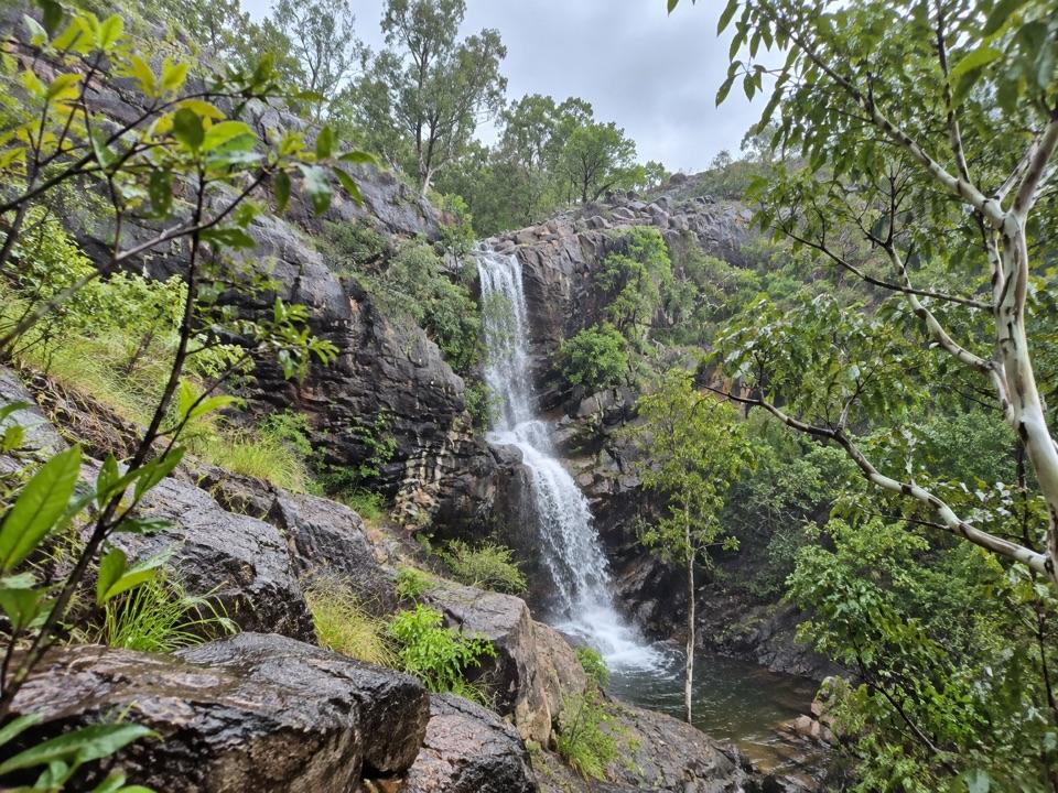
From the access area, the walk follows the creek through bush and over uneven rocks for about 15–20 minutes. The falls step down a dark rock face in several drops, with the lower pool at its base. The upper pools add a steep scramble over wet, slippery rock; you don't need to climb up to get the waterfall experience.

Check the approachFrom Adelaide River, take Dorat Road to the falls access.

From Adelaide River, take Dorat Road to the falls access. The final spur is rough and unsealed, and reports disagree about whether a 2WD can make it. Heavy wet-season rain can make the route flood-prone, so check local access before taking the detour. Late in the dry season, the pools can be too low for a satisfying swim.

Get the tiers in the frameFrom the lower rocks, include some of the pool in front of the falls so the cascades have scale.

From the lower rocks, include some of the pool in front of the falls so the cascades have scale. A closer, higher angle means scrambling above the lower pool, but the steep, slick rock makes that a poor trade when footing is wet.

Wildlife

Wildlife in Litchfield

All Litchfield wildlife maps

Sighting maps show where each species has been reported across Litchfield. Wildlife moves, so no sighting is guaranteed.

Parkwolf’s Litchfield ranking

Top sights in Litchfield

All 33 places
  1. 1Wangi FallsSight
  2. 2Florence FallsSight
  3. 3Buley RockholeSight
  4. 4Magnetic Termite MoundsSight
  5. 5Tolmer FallsSight
  6. 6The Lost CitySight

Take Parkwolf to Litchfield.

The audio tour guide for the drive, plus offline maps, trails, and wildlife heatmaps for when the signal drops.

4.7 from 8,600+ ratings

Download Parkwolf on the App StoreGet Parkwolf on Google Play