Parking
Robin Falls Rest Area at the end of Robin Falls Road. The final stretch is unsealed and can be rough after rain; a 2WD may need to park at the entrance and walk in.
#9 of 18 trails in Litchfield
Litchfield National Park, NT
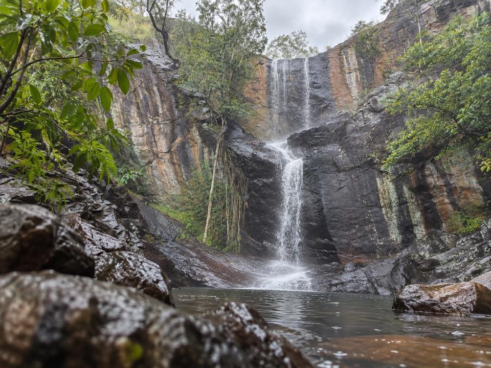
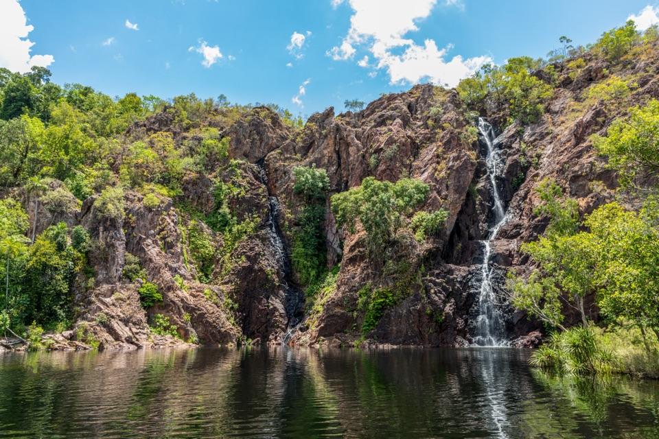
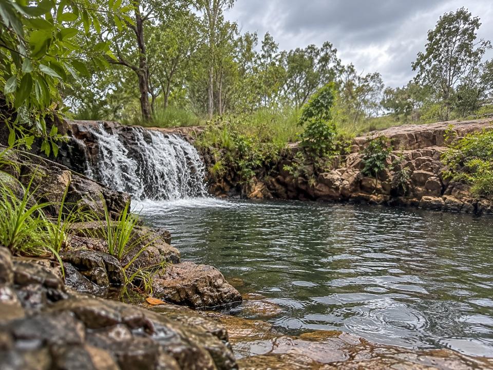
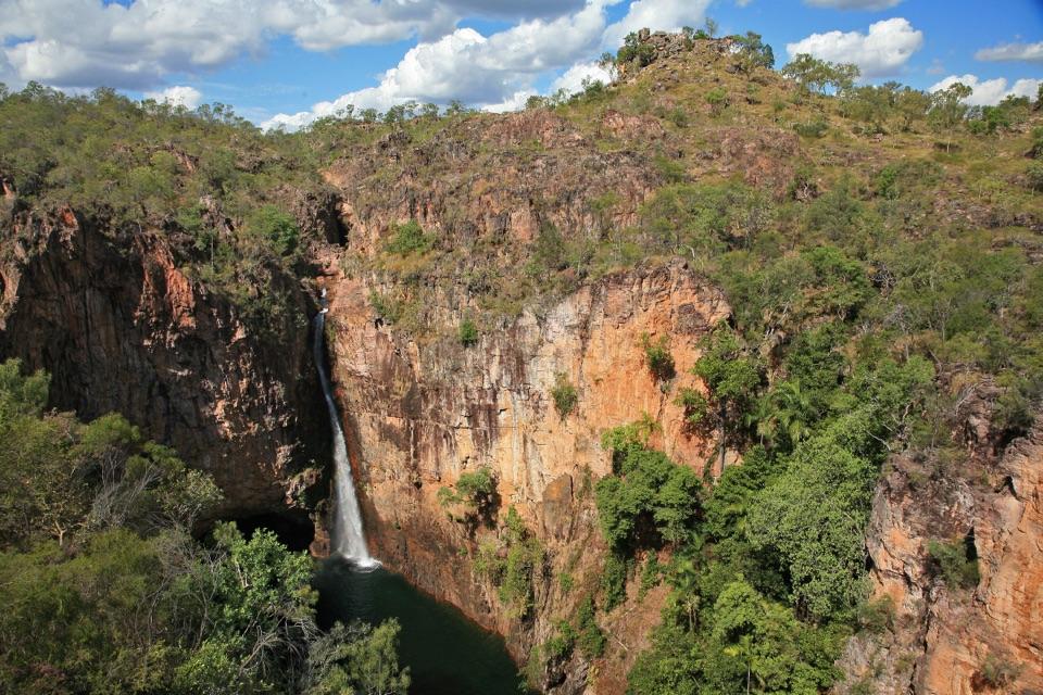
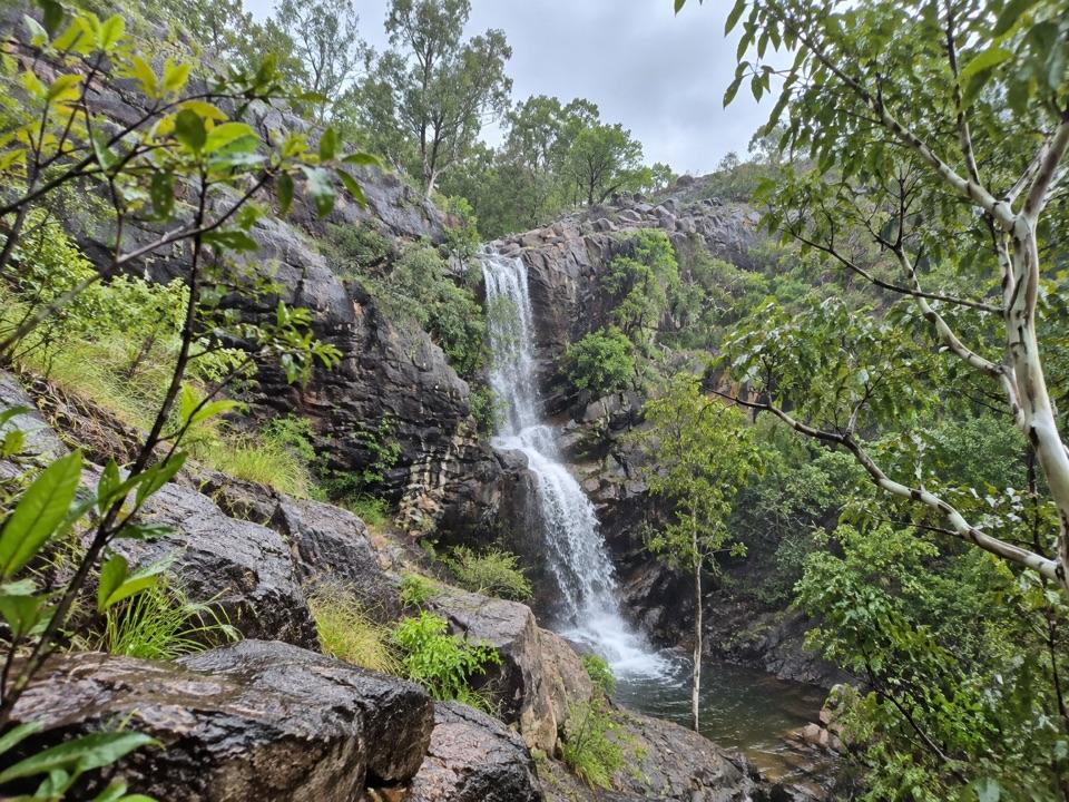
A rocky creek walk ends at a seasonal three-tier waterfall.
Overview
Map & elevation
Plan your hike

The highest, rockiest slopes around here are a summer buffet for grizzly bears.
Litchfield Tour Guide
Parkwolf is a GPS audio tour guide for Litchfield National Park. As you drive, it chimes in with what’s ahead: hidden gems, upcoming stops, history, geology, and wildlife, right through your car’s speakers.
See the Litchfield audio tour“Fantastic app with many points of information… It’s great to just turn on while you’re driving and it gives you an audio tour of the national Park. We love it!!!!”


Trail guide
Robin Falls Walk is a roughly 0.6-mile (about 1 km) out-and-back from the rest area to a seasonal, three-tier waterfall. The full distance is the return walk; the map follows the creekside corridor once. Allow about 45–90 minutes if you want time at the falls. The walk itself is commonly described as 15–20 minutes each way, though published timing estimates vary. It’s a good pick for a close look at the falls if you’re comfortable picking your way over rocks.
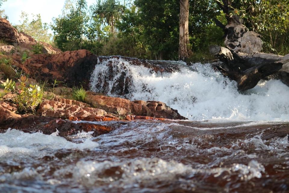
The route follows the creek upstream on an unpaved, rocky footway. Expect uneven steps between rocks, and possibly a creek crossing; this isn’t a smooth, built path. The tread is easier to follow near the start and becomes less distinct as you approach the water. Keep to the mapped creekside walk for the distance above.
The start is at Robin Falls Rest Area, at the end of a short unsealed road. After rain the road can be potholed, and a 2WD may need to park at its entrance and walk the last stretch. The NT acquired the property containing the falls in 2025 for a planned Litchfield expansion, but current formal park status and public access were not confirmed. Check with NT Parks before making the drive. The upper pools are an optional steep, slippery scramble beyond the mapped walk; skip that climb unless you’re sure-footed and conditions are dry.
Wildlife
 115 sightingsBlack Flying-foxMost seen around 6 PMSighting map
 59 sightingsRockhole FrogMost seen around 9 AMSighting map
 38 sightingsWestern Laughing Tree FrogMost seen around 7 PMSighting map
 17 sightingsCane ToadMost seen around 7 PMSighting map
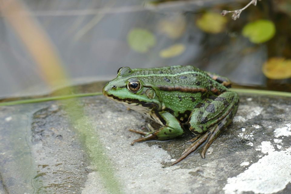 43 sightingsSpalding's Rocket FrogMost seen around 6 PMSighting map
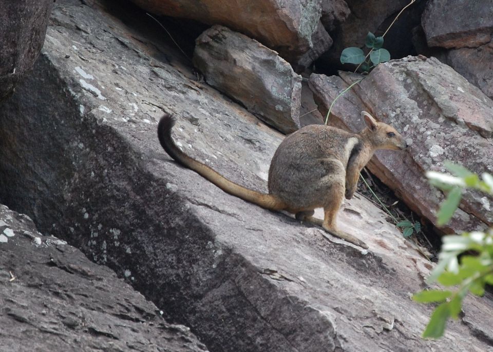 15 sightingsEastern Short-eared Rock WallabyMost seen around 6 PMSighting map
Sighting maps show where each species has been reported across Litchfield. Wildlife moves, so no sighting is guaranteed.
Keep exploring
Parkwolf’s Litchfield ranking

The audio tour guide for the drive, plus offline maps, trails, and wildlife heatmaps for when the signal drops.