
Place · 0 mi away
Moderate
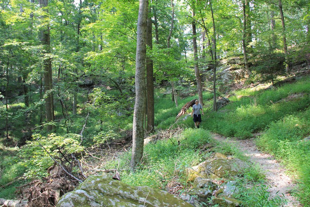
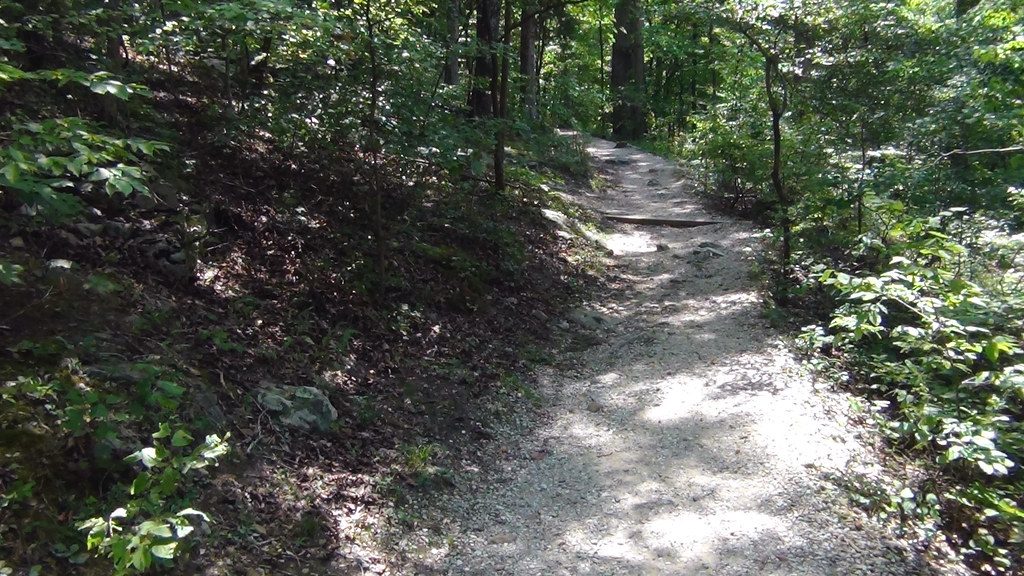
Also called the Sinkhole Trail, this moderate path drops from the Visitor Center area toward the Green River side of Mammoth Cave. It’s 1.1 miles one way (about 2.2 miles out-and-back for the basic route). Expect a mix of paved, gravel, and dirt with embedded rocks and roots. The grades are no joke: several sustained descents and a few short, very steep pitches near the south end.
From the Visitor Center, follow the Heritage Trail briefly to the signed start. The first stretch is easy and mostly level before the trail commits to downhill. If you return the same way, you’ll earn it on the climb back. Near the southern end, the last 0.3 miles get steeper and rockier.
A popular way to avoid backtracking is to finish at the paved Echo River Spring Trail, loop that accessible circuit, then return to the Visitor Center via the Whites Cave Trail. It’s a nicer flow and spares you some of the steepest repeats.
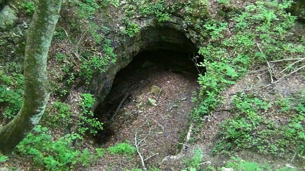
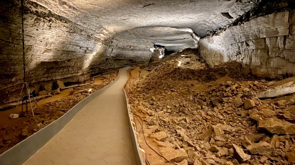
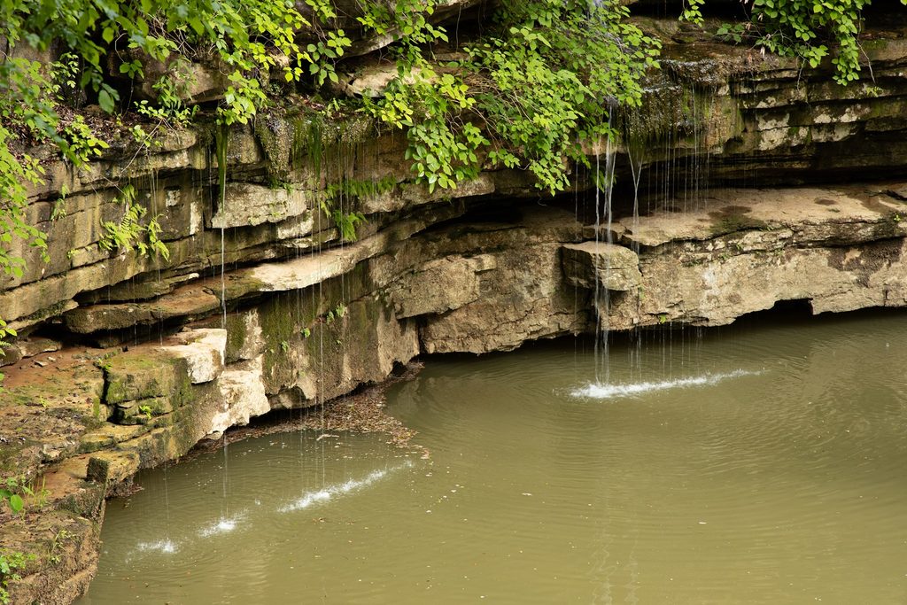
Classic karst at work: water sneaks through cracks in the sandstone cap, dissolves the softer limestone below, and over time creates voids that collapse at the surface—your sinkhole. Continued drainage carved the 192‑foot Mammoth Dome shaft underground. The sink and the dome shaft are related but offset.
If you’re into geology, yes—this is a quick education in how Mammoth Cave formed. If you’re chasing big overlooks, temper expectations: the sink overlook is usually grown in and the spur view is limited. For a more photogenic sinkhole experience, consider the Cedar Sink Trail elsewhere in the park.
Works year‑round, conditions permitting. Summer is peak season in the park; surface trails can be busier then, while winter is quieter above ground. Start early or later in the day for cooler temps and a calmer path. Check day‑of conditions for any temporary closures.
Park at Mammoth Cave Visitor Center and reach the signed trail via the short Heritage Trail connector; the south end meets the paved Echo River Spring Trail near Green River Ferry ([npplan.com](https://npplan.com/)).
Expect steep grades (up to ~30%) and rocky footing near the south end; the sink spur drops at ~20%. It’s mostly downhill from the Visitor Center, so the return is the workout. Occasional temporary closures—check current conditions and park alerts before you go ([npplan.com](https://npplan.com/), [nps.gov](https://www.nps.gov/maca/planyourvisit/maps.htm)).
Place · 0 mi away
Place · 0.1 mi away
Place · 0.1 mi away
Place · 0.1 mi away
Easy · 0.1 mi away
Easy · 0.1 mi away
Easy · 0.2 mi away
Challenging · 0.2 mi away

Parkwolf Tour Guide
