Parking
Use the Visitor Center parking area, then follow the paved path to the Historic Entrance; the named connector heads west from there.

#4 of 47 trails in Mammoth Cave
Mammoth Cave National Park, KY
A short connector toward River Styx Spring and the river trails.
Overview
Map & elevation
Plan your hike

The highest, rockiest slopes around here are a summer buffet for grizzly bears.
Mammoth Cave Tour Guide
Parkwolf is a GPS audio tour guide for Mammoth Cave National Park. As you drive, it chimes in with what’s ahead: hidden gems, upcoming stops, history, geology, and wildlife, right through your car’s speakers.
Recorded for this trailhead
Visitor Center and Historic Entrance“You're approaching Mammoth Cave Visitor Center, where the cave tours meet. Give the exhibits a look before heading underground.”
Plays as you drive up to this trailhead in the Parkwolf Mammoth Cave Tour Guide.
More stories near here in the app
“Fantastic app with many points of information… It’s great to just turn on while you’re driving and it gives you an audio tour of the national Park. We love it!!!!”


Trail guide
River Styx Spring Trail is a 0.4-mile one-way connector from the Historic Entrance toward the spring-side trail junction. Allow about 15 minutes for the segment. Some trail listings call a similar 0.4-mile outing an out-and-back; here the distance describes the named connector. If you return the same way, plan for about 0.8 mile, plus the paved approach from the Visitor Center. This is most useful as part of a longer walk through the visitor-center trail network.
From the Historic Entrance, the broad gravel path heads west and downhill. The mapped segment drops roughly 190 feet; coming back means climbing the same grade. It is a short walk, but the hill makes the return the harder part. The paved path from the Visitor Center is a separate approach and is not included in the 0.4-mile trail distance.
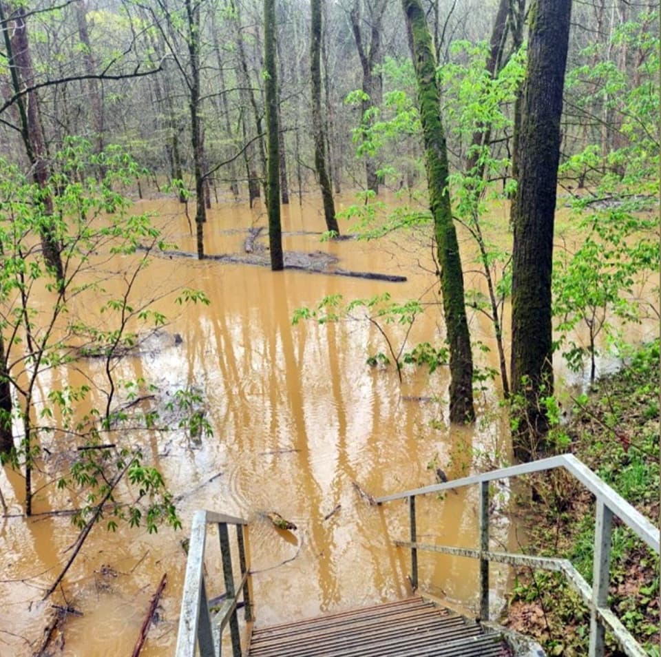
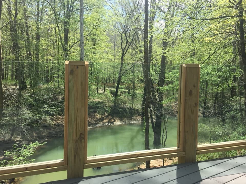
At the western junction, a separate fork leads to River Styx Spring, a pool beneath a limestone ledge. The spring is a short side trip rather than the endpoint of the named connector. From this junction, other marked trails continue toward Green River Bluffs and Echo River Springs, so you can extend the walk without retracing the full route.
Water that sinks into the park’s sinkholes can travel through cave passages for more than seven miles before emerging at springs along the Green River. River Styx is one of those outlets: the pool is a quick way to see the surface side of Mammoth Cave’s underground drainage. At the spring, look across the water toward the limestone ledge where it emerges. Leashed pets are allowed on surface trails; keep the leash to six feet or less.
Wildlife
 228 sightingsWhite-tailed DeerMost seen around 7 AMSighting map
 23 sightingsTricolored BatMost seen around 8 PMSighting map
 75 sightingsCave SalamanderMost seen around 6 PMSighting map
 151 sightingsWild TurkeyMost seen around 7 AMSighting map
 13 sightingsBarred OwlMost seen around 7 PMSighting map
 40 sightingsSnapping TurtleMost seen around 11 AMSighting map
Sighting maps show where each species has been reported across Mammoth Cave. Wildlife moves, so no sighting is guaranteed.
Keep exploring
ModerateEcho River and River Styx Springs Trail3.2 mi · 1.8 hr · 0.1 mi awayA steep ridge links two springs fed by the cave system. EasyHeritage Trail0.7 mi · 45 min · 0.1 mi awayA gentle walk pairs a historic cemetery with a valley overlook.
 EasyHistoric Entrance Trail0.2 mi · 18 min · 0.1 mi awayA short paved walk to Mammoth Cave's largest natural entrance.
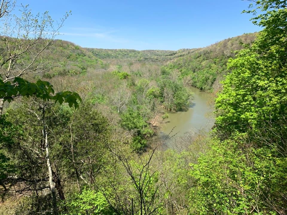 ModerateDixon Cave, Green River Bluffs, and River Styx Spring Loop1.4 mi · 1.5 hr · 0.1 mi awayA short rocky circuit links a cave, bluff ridge, and spring.
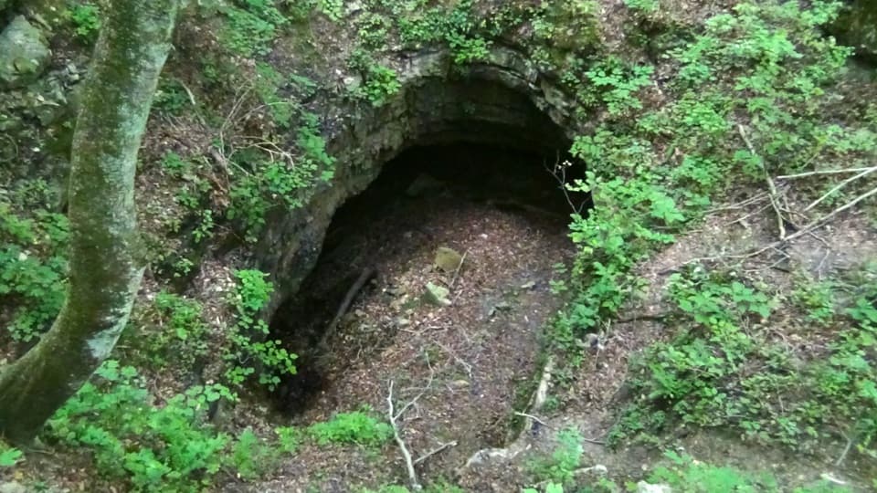 EasyDixon Cave Trail0.6 mi · 24 min · 0.1 mi awayA short uphill walk to a view of Dixon Cave.
 EasyOld Guide's Cemetery Trail0.1 mi · 18 min · 0.1 mi awayA short walk to early cave guides' graves and their stories.ModerateMammoth Cave Visitor Center Loop5.8 mi · 3.5 hr · 0.1 mi awayCave entrances, a spring boardwalk, and a steep Green River climb.
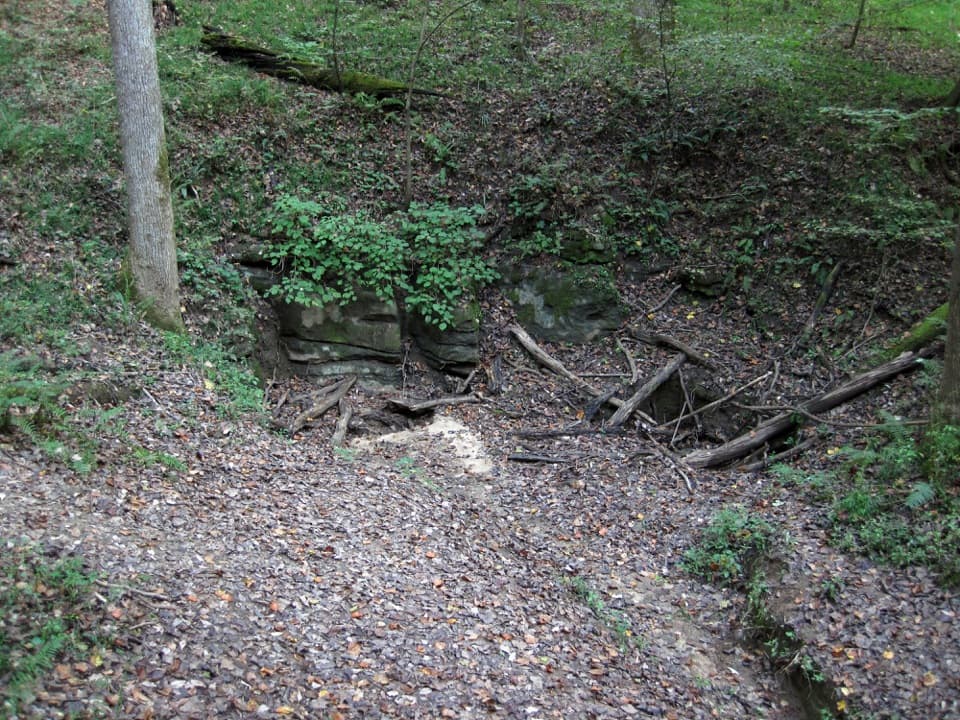 ModerateSinkhole Trail1 mi · 45 min · 0.2 mi awayA short connector leads to a wooded sinkhole and cave geology.
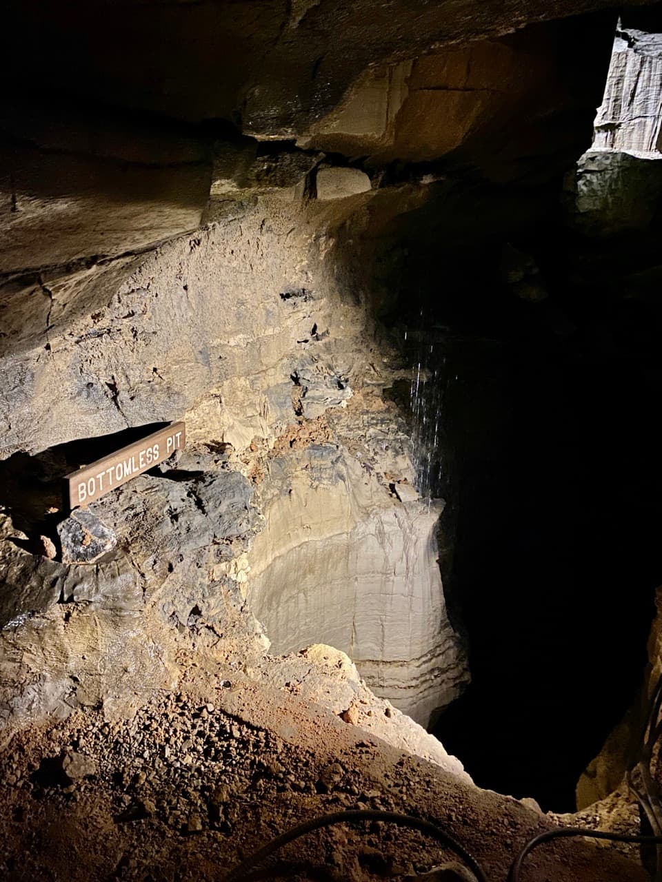 Sight · 0.1 mi awayBottomless PitThe crossing that opened miles of cave passage.
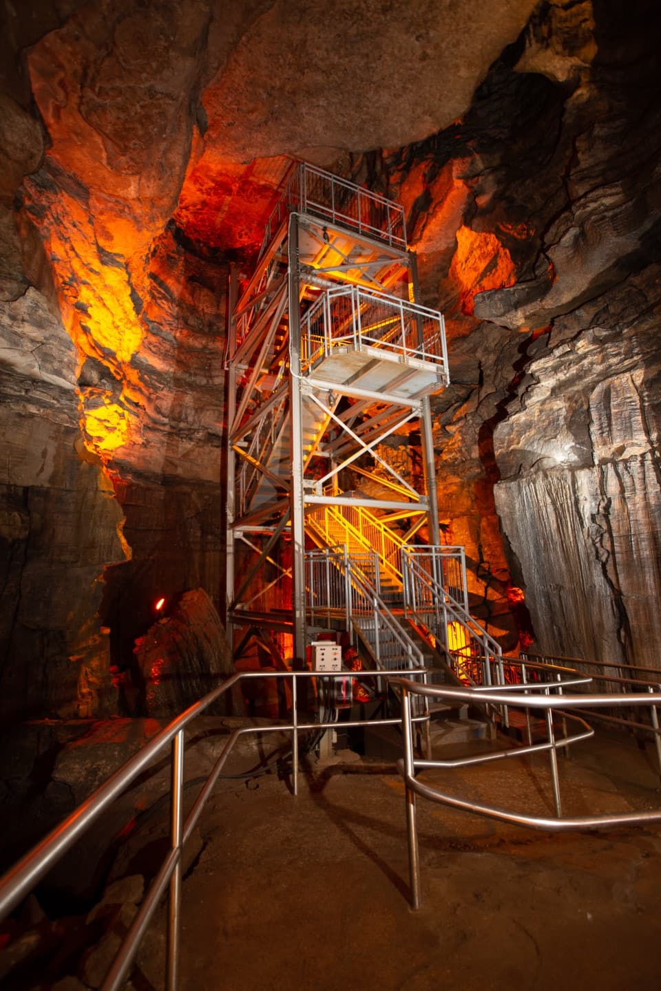 Sight · 0.1 mi awayMammoth DomeA named cave shaft with a 155-step stair tower.
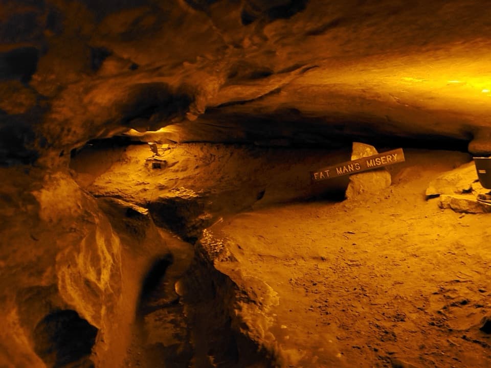 Sight · 0.1 mi awayFat Man’s MiseryA narrow, winding passage that shows how the cave formed.
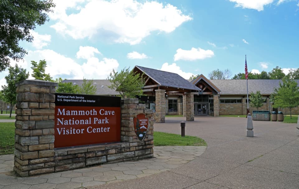 Visitor center · 0.1 mi awayMammoth Cave Visitor CenterYour cave tour starts here; give the exhibits a look first.
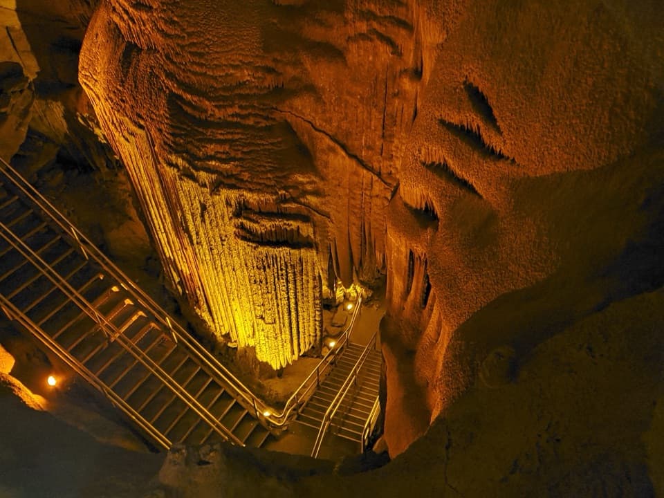 Sight · 0.1 mi awayFrozen NiagaraMammoth Cave’s signature flowstone, reached on a short guided tour.
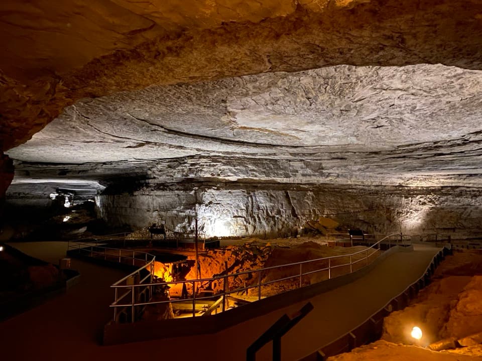 Sight · 0.1 mi awayRotundaA vast cave room with wartime saltpetre works still in place.Sight · 0.1 mi awayMammoth Cave Historic EntranceA free look at the cave mouth, separate from ticketed tours.
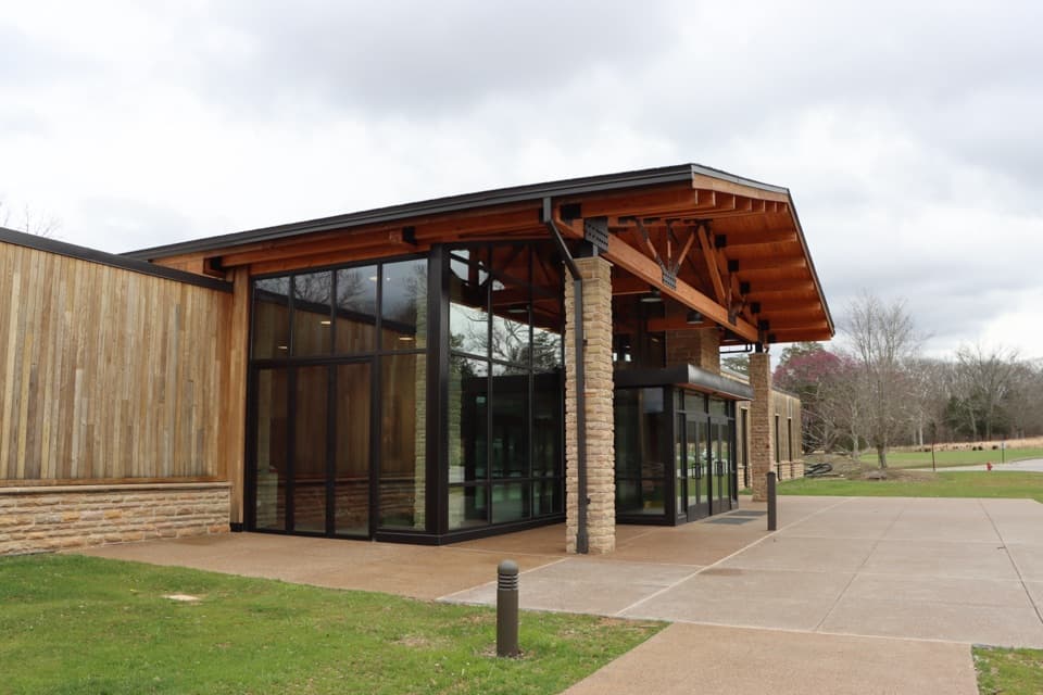 Lodging · 0.1 mi awayThe Lodge at Mammoth CaveIn-park lodging by cave tours, from simple cottages to family cabins.
Parkwolf’s Mammoth Cave ranking

The audio tour guide for the drive, plus offline maps, trails, and wildlife heatmaps for when the signal drops.