
Place · 0 mi away
Challenging
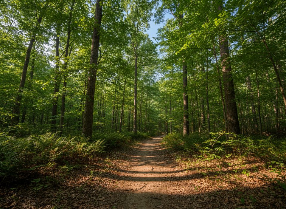
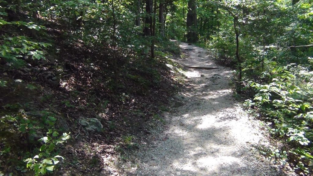
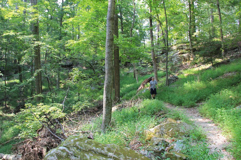
The South Loop is the rowdier half of Big Hollow’s singletrack system—shady hardwood forest, rolling ridges, and real kick-in-the-shins climbs. It’s open to both hikers and mountain bikers, but it was built with riding in mind, so expect narrow tread, roots, and rocks. If you want the more technical, strenuous portion of Big Hollow, this is it.
The South Loop itself is roughly 4.8 miles. It sits in the backcountry and is reached from the Maple Springs Trailhead via a connector on the Maple Springs Trail (about 1 mile to reach the Big Hollow area). Most people access the South Loop by first getting on the North Loop and taking the signed connector between the loops, so your total outing will be longer than the loop mileage alone. If you’re combining both loops, plan for a 10–12 mile day once you include connectors.
Clockwise rides or hikes start with playful, “kiddie-rollercoaster” undulations on a ridge before a quarter-mile downhill—fun for riders, pleasant flow for hikers. Then comes a rockier half-mile where rocks are big enough to demand careful footwork or even short hike-a-bike for typical riders. The southwest side is the crux: sustained climbing with a quarter-mile averaging about 11% and a brief sting around 20%. Non-expert riders commonly walk sections here. Expect typical forest singletrack obstacles—roots, narrow bench cuts, and a few spots with sidehill exposure.
This is a multi-use trail. You’ll share it with mountain bikers; riders should communicate when overtaking hikers. The tread can be muddy in spots after rains, bugs are common in warm months, and in fall, acorns can ride like marbles under bike tires. Signage is generally good, but bring a real map for intersections. The loop isn’t recommended for young kids on bikes due to grades and rockiness. Horses use Maple Springs Trail but are not allowed on Big Hollow.
You’ll be under a leafy canopy most of the time with rock outcrops here and there. Portions of the South Loop offer peeks toward the Green River and limestone slabs that make solid, scenic lunch perches. It’s more about motion through lush forest than big vistas—perfect if you like flow and forest over overlooks.
Start early to beat heat and bike traffic on weekends. Spring and fall bring comfortable temps; fall also brings those slippery acorns. Check Green River Ferry status before you go—if it’s not running, the drive to Maple Springs from the Visitor Center can take about an hour, which may affect your timing.
Park at Maple Springs Trailhead (north side of the Green River). From there, follow the Maple Springs Trail about 1 mile to reach the Big Hollow area and the connector to the South Loop.
Multi-use singletrack with rocky half-mile and sustained climbs (up to ~11% with a brief ~20% pitch). Expect slippery acorns in fall, muddy spots after rain, bugs in warm months, and potentially confusing junctions—carry a proper map. If the Green River Ferry isn’t operating, allow extra drive time to Maple Springs.
Place · 0 mi away
Place · 0 mi away
Place · 0.1 mi away
Place · 0.1 mi away
Easy · 0.1 mi away
Easy · 0.1 mi away
Easy · 0.1 mi away
Moderate · 0.2 mi away

Parkwolf Tour Guide
