Overview
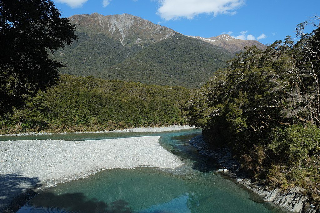
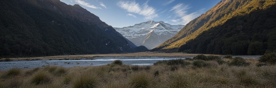
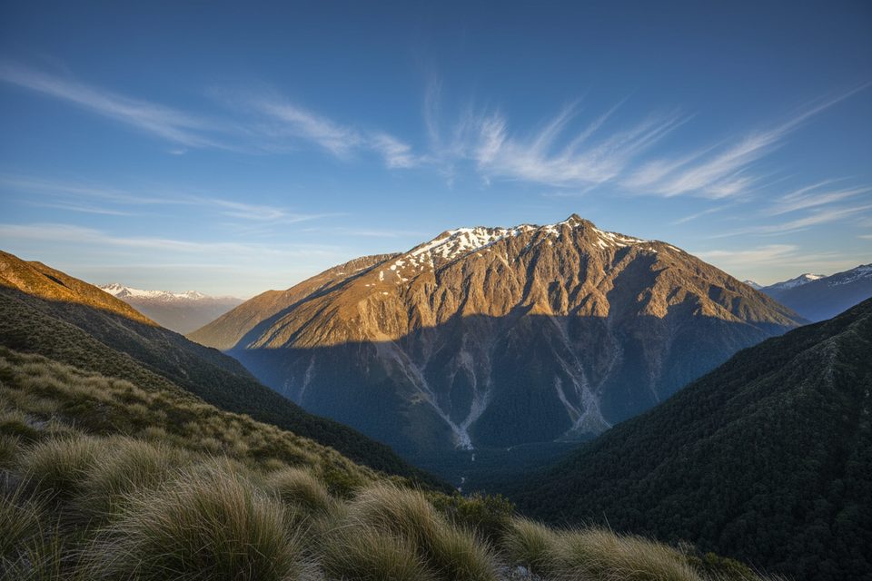
Mount Shrimpton is an uncompromising climb from Makarora into true alpine country. The marked track ends at the bushline; beyond that, you’re on an unmarked ridge route with rough tussock, rock ribs, and a prominent rocky pyramid on the final crest. The true summit is around 2,002 m and may require hands-on scrambling. What you get for the effort: huge wraparound views of the Makarora Valley and the Southern Alps/Kā Tiritiri o te Moana, plus a wild, remote feel that most roadside viewpoints can’t touch.
Route at a Glance
- Trailhead: Makarora Nature Walk carpark, then a signed turn for the Mount Shrimpton Track.
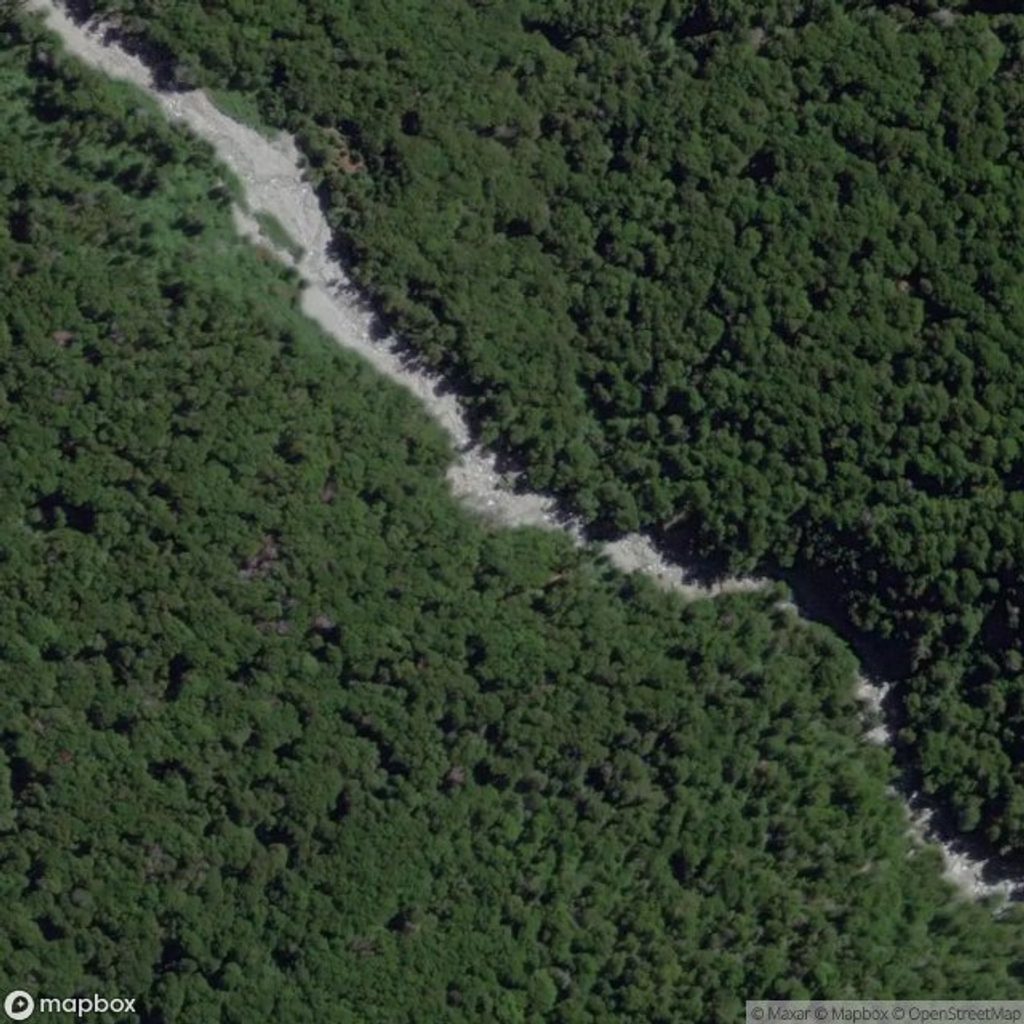
- Through the bush: a relentlessly steep climb in silver beech and podocarp forest, with Pipson Creek for company.
- At the bushline: the marked track effectively ends. Continue only if you have the skills for off‑track alpine travel.
- Ridge to summit: unmarked, steeper and more exposed. Expect route‑finding and scrambling on rocky terrain near the top. Many parties wisely turn around at the ridge high point before the summit scramble.
- Time: DOC suggests about 5 hours return to the bushline; one detailed trip clocked roughly 11 hours for a full ridge day out. Elevation gain to the ridge can exceed 1,500 m.
Hazards and Requirements
- Navigation: no markers above the bushline—carry map, compass, GPS, and know how to use them.
- Weather: rapid changes, high winds, low cloud and whiteout are real risks even in summer.
- Snow and avalanche: avalanche terrain can affect parts of the route, typically May–November; snow or verglas can linger after storms outside those months. Check the regional advisory before you go.
- Terrain: steep, rough footing in forest; exposed tussock and rock ribs on the ridge; scrambling near the top.
Scenery and Wildlife
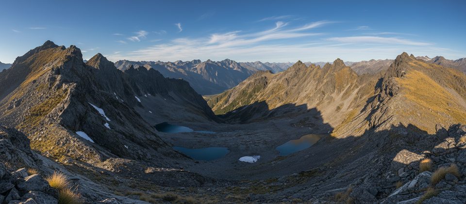
From the ridge you’ll peer into a rocky basin with striking blue tarns and across to the Young Range. Forest gives way to broad tussock and fragile alpine herbfields—stick to durable surfaces. Kea are regularly seen on outcrops and saddles; enjoy their company but do not feed them. You may also encounter kārearea (NZ falcon) and kererū in the lower forest.
Logistics (No Facilities)
- No toilets, taps, shelters, or benches on the track or summit.
- Water is unreliable above the bushline; carry what you need and treat any natural sources.
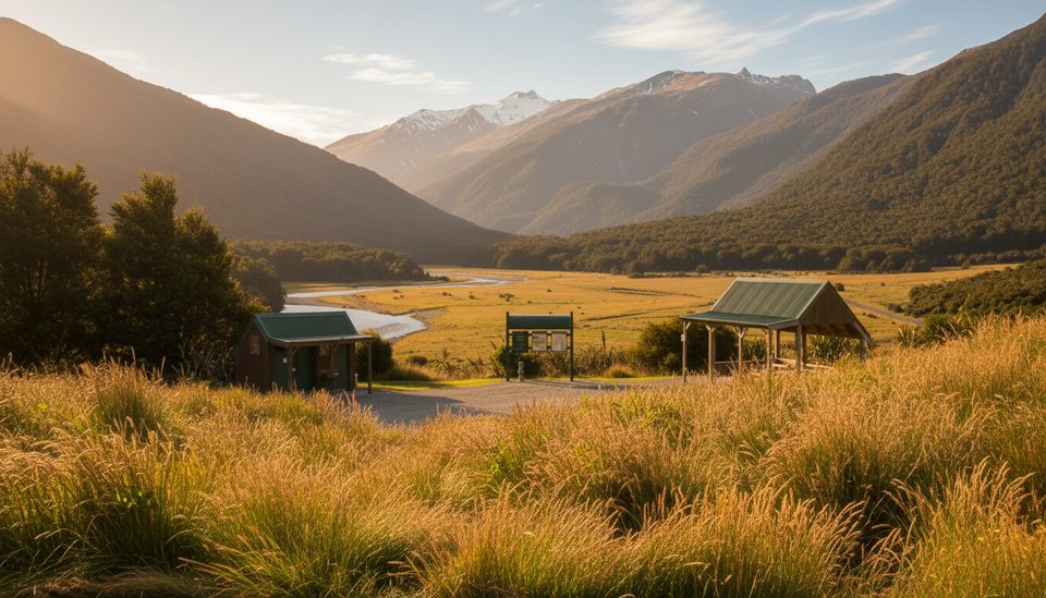
- Parking is a small roadside clearing near the trailhead with limited spaces and no services.
- There’s no DOC visitor centre in Makarora—contact Awarua/Haast or Tititea/Mt Aspiring visitor centres for current conditions.
Best Time to Visit
Late summer to early autumn offers the best window when the ridge is typically snow‑free and weather more settled. Start early, set a strict turnaround time at or before the bushline if cloud, wind, or time gets away from you. This isn’t about crowds—it’s about picking a clear, calm day and maximizing daylight for a big ascent and safe descent.