
Place · 3.1 mi away
Challenging
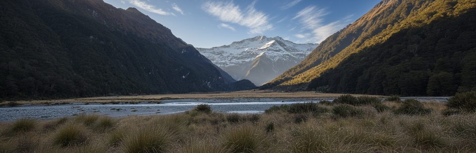
The Wilkin Valley Track is a classic river‑valley tramp to Top Forks in the heart of Mount Aspiring’s backcountry. Expect rough forest, open river flats, slips and ravines, and unbridged rivers that call the shots. One‑way distance to Top Forks Hut is about 30 km (18.6 miles); many parties make this an out‑and‑back (roughly 37+ miles total) with a rest day for the alpine lakes.
These options cross the South Branch and follow the North Branch with boulder hopping (slippery when wet) and a potentially tricky side stream.
The Wilkin Valley–East Matukituki traverse via Waterfall Face and Rabbit Pass carries significant year‑round hazards and may require mountaineering techniques. Attempt only in good conditions. Top Forks Hut → Ruth Flat: 8–10 hr with very steep, exposed terrain and a dangerous rock slide section. Ruth Flat → Cameron Flat: 7–9 hr via Bledisloe Gorge, two 3‑wire bridges, and flats to the West Matukituki (ford near the end or use the upstream bridge if flows are high).
Weather changes fast year‑round; choose a settled window and be prepared for hypothermia even in summer. Avalanche paths can affect parts of the area typically from May to November; check current advisories and the park forecast before committing.
Access is from Wilkin Road off SH6 near Makarora. There is no visitor centre in Makarora—contact Awarua/Haast or Tititea/Mount Aspiring visitor centres for current track, river, and avalanche information. The grassy river flats include leasehold farmland—respect stock and keep to the track. Camping beside huts incurs a nightly fee; elsewhere camp at least 200 m from tracks and follow Leave No Trace, including burying human waste well away from water. Navigation matters here: parts are unmarked; carry a map/GPS and know how to use them.
If you’re fit, comfortable with unbridged river crossings, and want a big valley journey with bonus alpine lakes, this is a superb Wilkin sampler. If river crossings or exposure aren’t your thing, consider stopping at Kerin Forks or saving the traverse for a different trip.
Road-end access via Wilkin Road off SH6 near Makarora; park at the road end and begin by fording the Makarora River to reach the track on the true left of the Wilkin.
Unbridged crossings of the Makarora and Wilkin require experience—wait if high. Expect slips, steep/exposed terrain in places, unmarked sections, rapid weather shifts, and seasonal avalanche paths (typically May–November). Respect leasehold river flats; camp 200 m from tracks and pay hut/campsite fees.
Place · 3.1 mi away
Place · 3.4 mi away
Place · 7.7 mi away
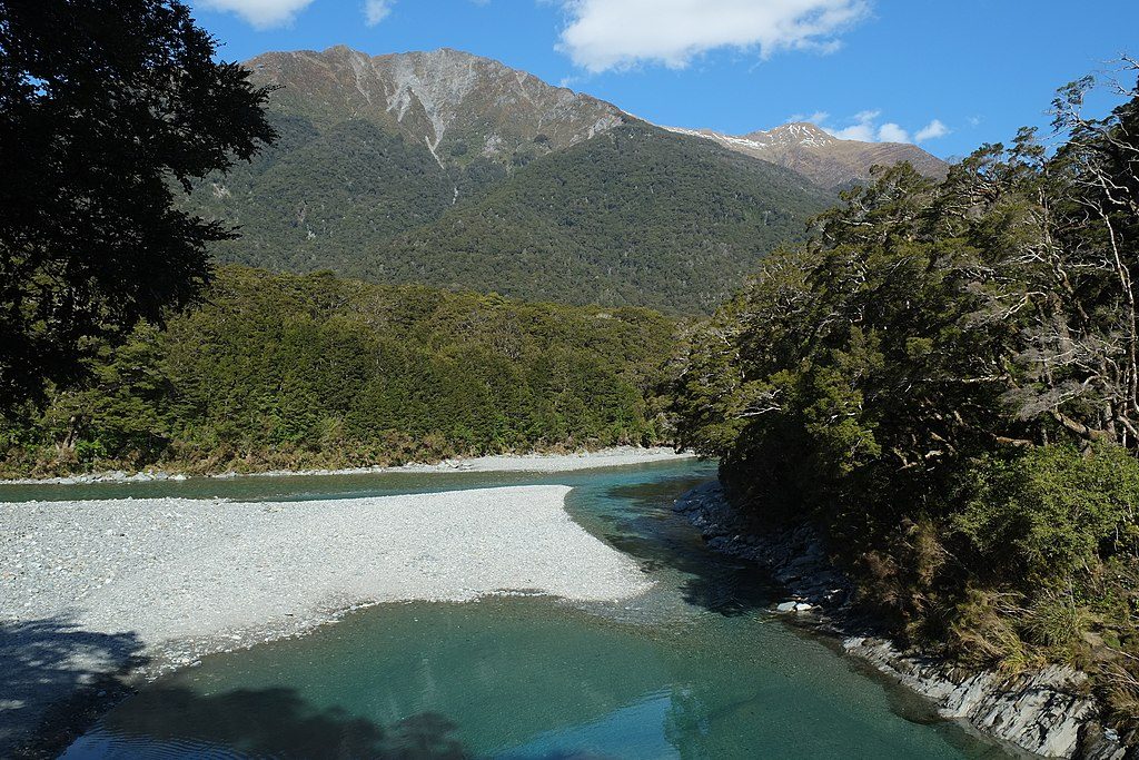
Place · 7.7 mi away
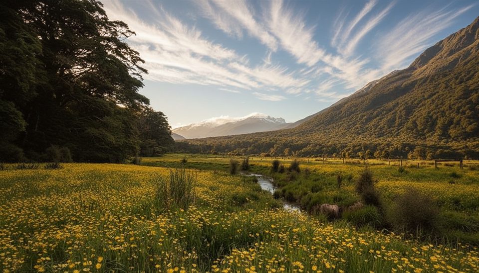
Easy · 7.7 mi away
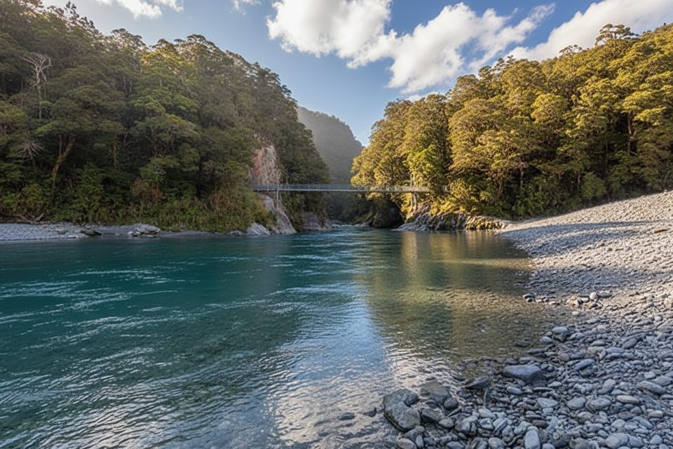
Easy · 8.2 mi away
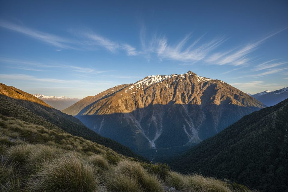
Challenging · 15.8 mi away
Easy · 15.8 mi away

Parkwolf Tour Guide
