Parking
Use the Fantail Falls car park off SH6, about 85 km north of Wānaka. It is also the start of Brewster Track.

Mount Aspiring National Park, OT · WC
A five-minute return walk to a fan-shaped waterfall.
Overview
Map & elevation
Plan your hike

The highest, rockiest slopes around here are a summer buffet for grizzly bears.
Mount Aspiring Tour Guide
Parkwolf is a GPS audio tour guide for Mount Aspiring National Park. As you drive, it chimes in with what’s ahead: hidden gems, upcoming stops, history, geology, and wildlife, right through your car’s speakers.
See the Mount Aspiring audio tourRecorded for this trailhead
Fantail Falls and the Road Builders“You're nearing the Fantail Falls car park, for a five-minute return walk to a fan-shaped cascade across the Haast River.”
Plays as you drive up to this trailhead in the Parkwolf Mount Aspiring Tour Guide.
More stories near here in the app
“Fantastic app with many points of information… It’s great to just turn on while you’re driving and it gives you an audio tour of the national Park. We love it!!!!”


Trail guide
Fantail Falls Walk is an easy 200 m return walk from the Haast Highway car park to a view of the fan-shaped falls at the foot of Fantail Creek. A short concrete path passes through bush to the bed of the Haast River. Allow about five minutes; it’s a quick break in the drive, not a longer hike.
You look from the riverbed toward the falls, with rocky gravel bars and forest around them. The view can feel farther away than some people expect, so come for the shape of the cascade and its setting rather than a close-up waterfall walk. If you take a photo, include some of the riverbed at the base to show how the creek meets the Haast.
The car park is on Haast Highway (SH6), about 85 km north of Wānaka. It also starts Brewster Track, a separate, much longer route. The nearest toilets are at Pleasant Flat Campsite, 10 km north. Dogs aren’t allowed.
Wildlife
 60 sightingsKeaMost seen around 5 PMSighting map
 112 sightingsRockwrenMost seen around 8 AMSighting map
 26 sightingsYellowheadMost seen around 8 AMSighting map
 13 sightingsTūīMost seen around 7 AMSighting map
 27 sightingsBellbirdMost seen around 7 AMSighting map
 35 sightingsRiflemanMost seen around 8 AMSighting map
Sighting maps show where each species has been reported across Mount Aspiring. Wildlife moves, so no sighting is guaranteed.
Keep exploring
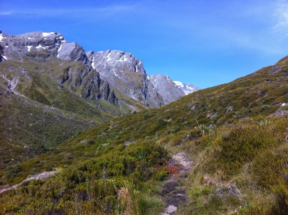
 ChallengingBrewster Track5.6 km · 7 hr · At the trailheadA steep alpine climb to a hut above the Haast River
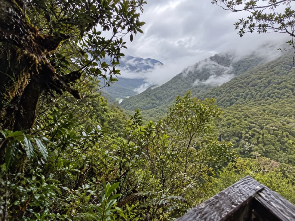 EasyBridle Track3.5 km · 1.5 hr · 4.2 km awayWalk a graded stretch of the old Otago to Westland route
 ModerateHaast Pass Lookout Track1.5 km · 1 hr · 4.2 km awayA short climb to a timber-railed Southern Alps lookout.
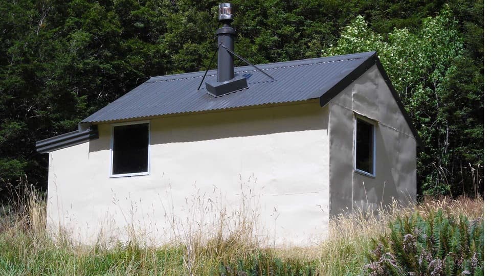 ChallengingWills Valley Track15 km · 11 hr · 4.2 km awayAn unstable gorge approach leads to a remote four-bunk hut.
 EasyThunder Creek Falls Walk0.2 km · 9 min · 4.7 km awayA sealed path ends above Haast River, facing a 28 m waterfall.
 EasyPleasant Flat Walk0.2 km · 5 min · 7.3 km awayA quick forest walk beside a mountain stream
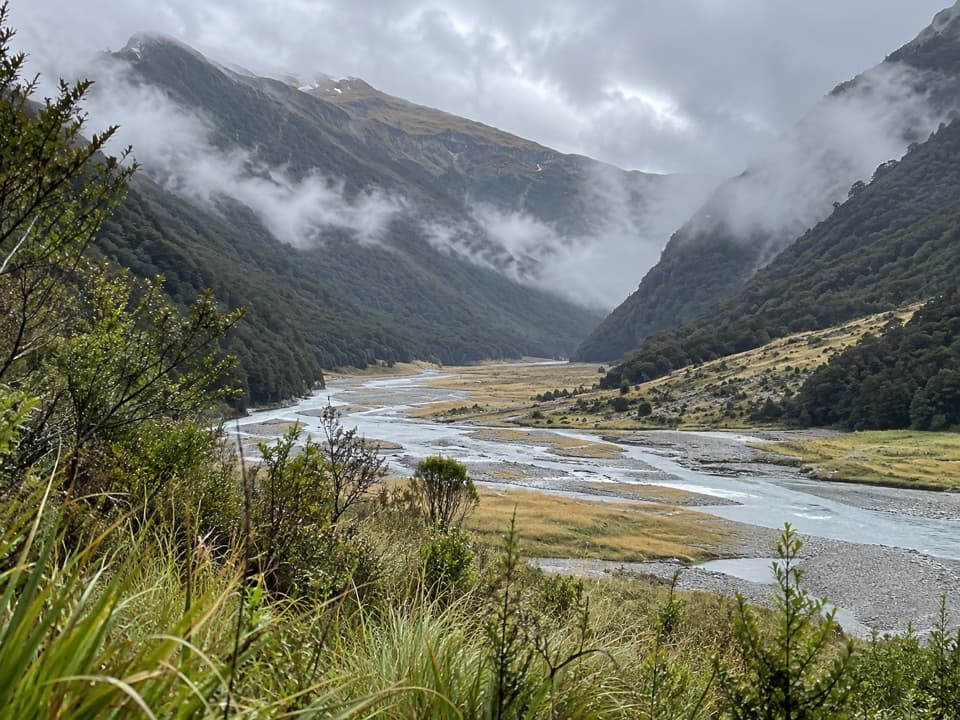 ChallengingMakarora Track to Makarora Hut21 km · 14 hr · 8.4 km awayA rough valley tramp to a four-bunk hut beneath Mount Brewster.
 EasyCameron Lookout Walk1 km · 20 min · 11 km awayShort climb through silver beech to a Cameron Creek lookout.
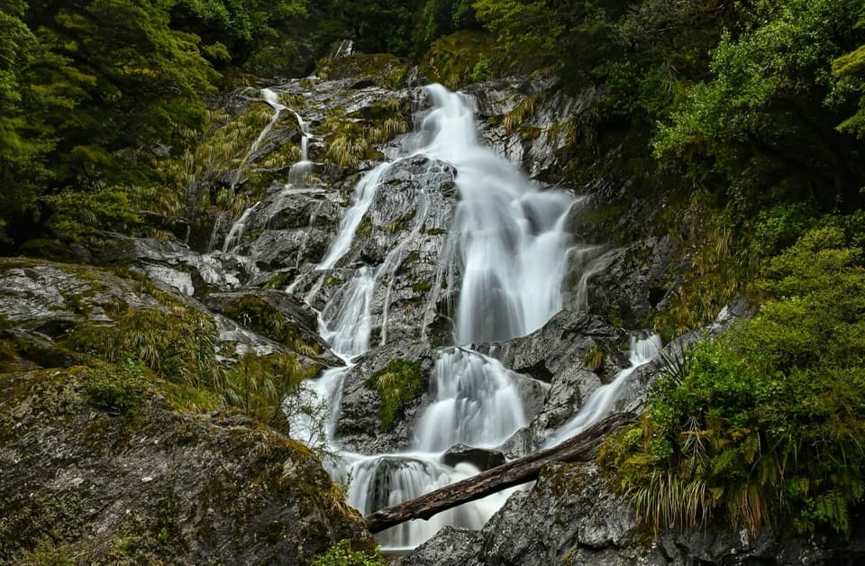 Sight · 0.1 km awayFantail FallsA five-minute walk to a 23 m fan-shaped waterfall.
 Lodging · 2.4 km awayBrewster HutA 12-bunk alpine hut at the end of a steep climb.
 Sight · 4.2 km awayGates of HaastBlue-green rapids under a narrow truss bridge make a quick stop.Sight · 4.2 km awayHaast Pass LookoutA steep climb buys a higher view over Haast Pass.
 Sight · 4.7 km awayThunder Creek FallsA five-minute forest walk to a 28 m waterfall.Lodging · 7.1 km awayWills HutFour bunks at the end of a demanding valley tramp
 Lodging · 7.2 km awayMakarora HutA small four-bunk hut at the end of a challenging valley tramp.
 Campground · 7.2 km awayPleasant Flat CampsiteOpen camping, a short stream walk, and Mount Hooker on the skyline.
Parkwolf’s Mount Aspiring ranking

The audio tour guide for the drive, plus offline maps, trails, and wildlife heatmaps for when the signal drops.