
Place · 0.2 mi away
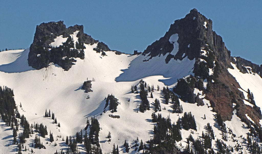
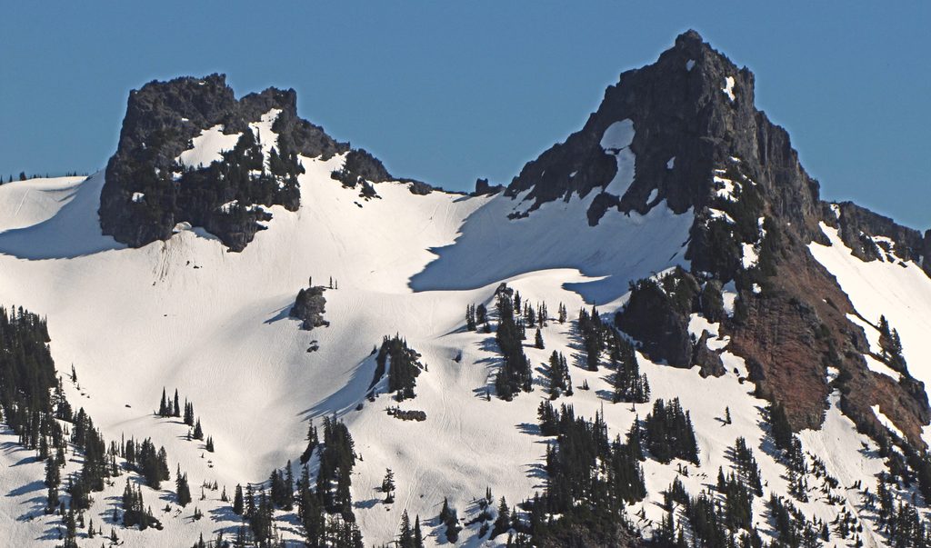
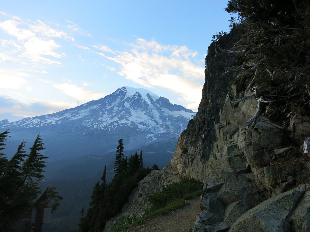
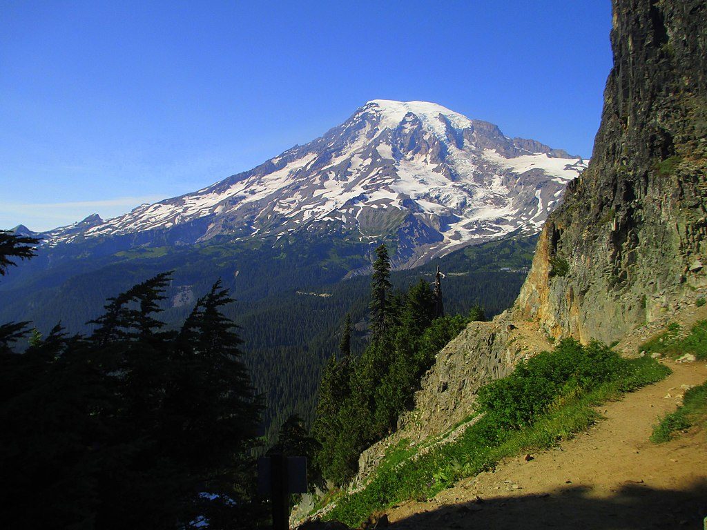
Pinnacle Peak rises to 6,562 feet in the Tatoosh Range, directly south of the mountain and a quick hop from Reflection Lakes. It’s a compact but punchy outing that rewards you with classic Rainier-in-your-face scenery and a taste of alpine scrambling if you continue beyond the maintained trail.
The standard route is about 2.9 miles round trip with roughly 1,150 feet of gain. A well-built path climbs steadily to a saddle between Pinnacle and neighboring Plummer Peak; this is where the maintained trail ends. Many hikers call it a day here. Reaching the true summit is a third- to fourth-class scramble on volcanic rock that can be loose, so move carefully and only continue if you’re experienced and comfortable.
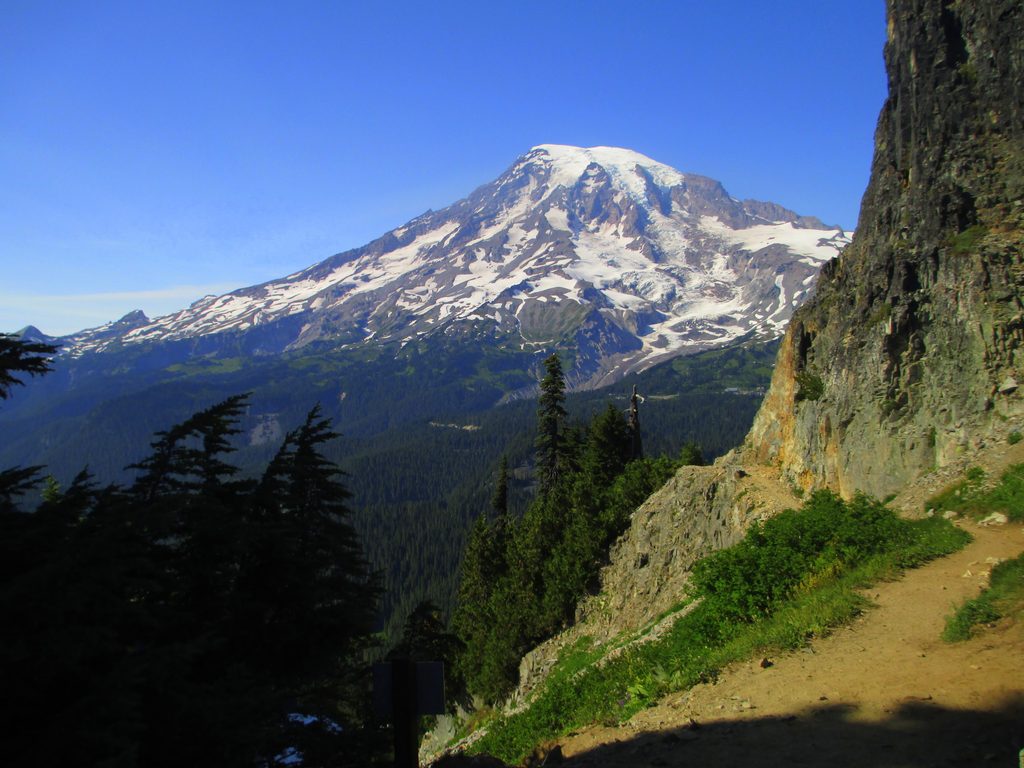
From the saddle and higher, you’ll get the quintessential close-up of Rainier and the Paradise area to the north. Turn south for a parade of Cascade volcanoes—Mount Adams and Mount St. Helens dominate, with Mount Hood on the far horizon in clear weather. It’s a lot of payoff for a relatively short climb.
Keep an ear out for the squeaks of pikas and the whistles of marmots in the talus and meadows; both are commonly seen along this route. On summer afternoons, they’re especially active around the rocky slopes.
There’s no camping along this trail or atop the Tatoosh crest. Pets aren’t allowed on park trails, fires are prohibited, and any natural water must be treated. The trail brushes the boundary of the Butter Creek Research Natural Area—this protected zone is closed to general public use, so stay on the designated path. If you’re heading for the summit, a helmet is a smart call due to rockfall potential. In winter or early season, conditions can be icy; an ice axe and possibly crampons may be necessary.
The trail starts across from Reflection Lakes on Stevens Canyon Road. Parking is limited and shared with lake visitors, so it fills fast on clear days. Services are minimal—plan to be self-sufficient and carry your own water and food.
Aim for summer when Stevens Canyon Road is open and snow has melted off the upper trail. Go early on weekdays for easier parking and quieter tread; late afternoon light is excellent for photography, with Rainier glowing behind you on the descent. On cloudy days, the atmosphere can be moody, but the marquee views depend on clear skies.
Place · 0.2 mi away
Place · 0.2 mi away
Place · 0.5 mi away
Place · 0.8 mi away
Challenging · 0.7 mi away
Moderate · 0.8 mi away
Moderate · 0.8 mi away
Moderate · 0.8 mi away

Parkwolf Tour Guide
