
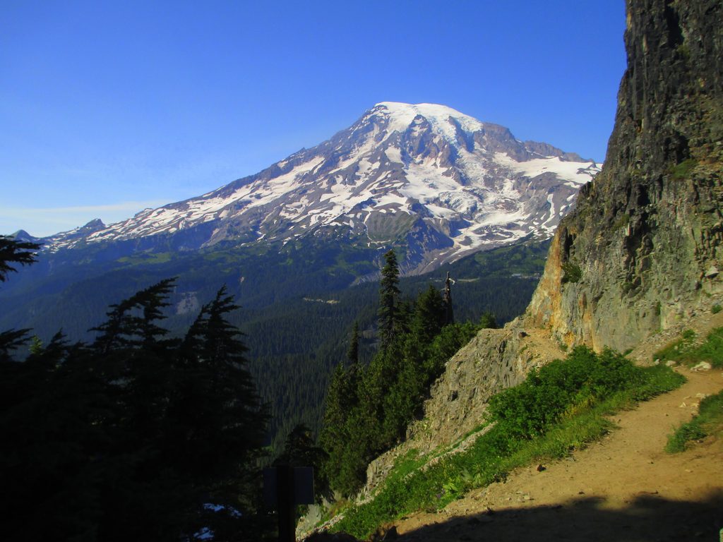
Place · 0.3 mi away
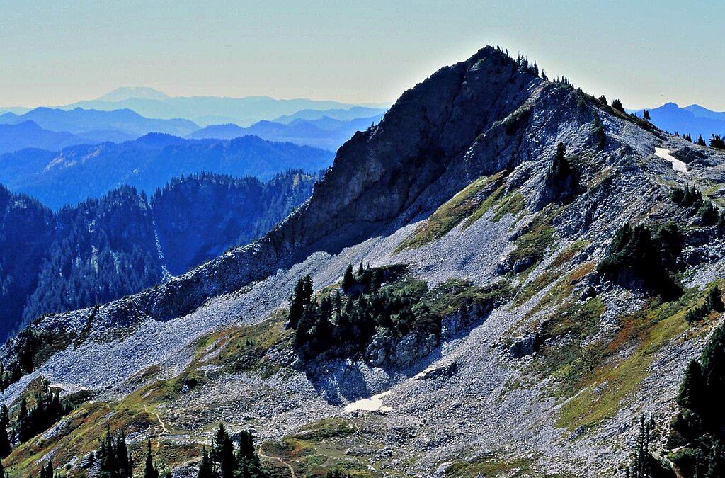
Plummer Peak tops out at 6,374 feet on the Tatoosh Range, just south of the main volcano. It’s the classic short-but-steep outing that trades a modest approach for outsized views of Mount Rainier and the surrounding Cascade lineup. If you want a summit experience without a full-day sufferfest, this is a great call.
Start from the Pinnacle Peak Trailhead near Reflection Lakes and hike about 1.3 miles to Pinnacle–Plummer Saddle (around 5,950 feet) on a well-used trail. From the saddle, turn west on a user path for roughly 400 vertical feet to Plummer’s small rocky top. Expect easy scrambling on loose rock near the summit, and snowfields outside midsummer.
From the saddle and the summit you’ll get an unobstructed sweep of Mount Rainier, plus distant looks at Mount Adams, Mount St. Helens, and the serrated Tatoosh skyline. In summer, subalpine meadows light up with wildflowers; marmots, pikas, mountain goats, and a variety of birds frequent these slopes.
Most of the approach is on a maintained trail, but the final spur is steeper, rougher, and involves easy scrambling with some exposure. In early season and winter/spring, snow travel skills are essential and avalanche hazard is real. Helmets are a smart call when parties are above, and traction devices can make lingering snow far more manageable.
Absolutely—if you’re comfortable with a short scramble and exposure. Not feeling the final push? Stop at Pinnacle Saddle; the views there are already stellar, and you’ll skip the loose rock and airy summit.
Place · 0.3 mi away
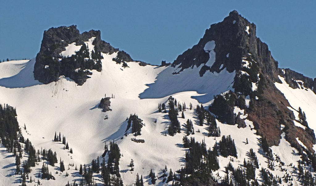
Place · 0.5 mi away
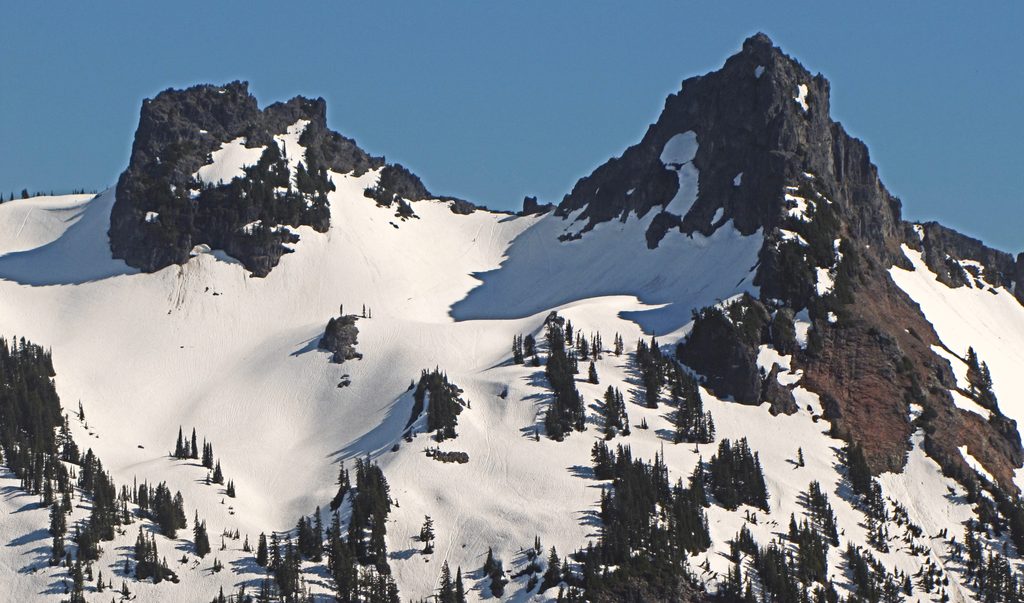
Place · 0.6 mi away
Place · 1.2 mi away
Challenging · 1.1 mi away
Moderate · 1.2 mi away
Moderate · 1.2 mi away
Moderate · 1.2 mi away

Parkwolf Tour Guide
