Pros & cons
PROS
- Primary hub for backcountry permits with knowledgeable rangers
- Self-issue permit kiosk available when closed in winter
- Books/maps sales and a helpful relief-map exhibit
CONS
- Lines can be long for permits during busy mornings
- Seasonal hours with a midday closure; plan timing carefully
- Restroom availability not clearly listed; plan alternatives
Overview
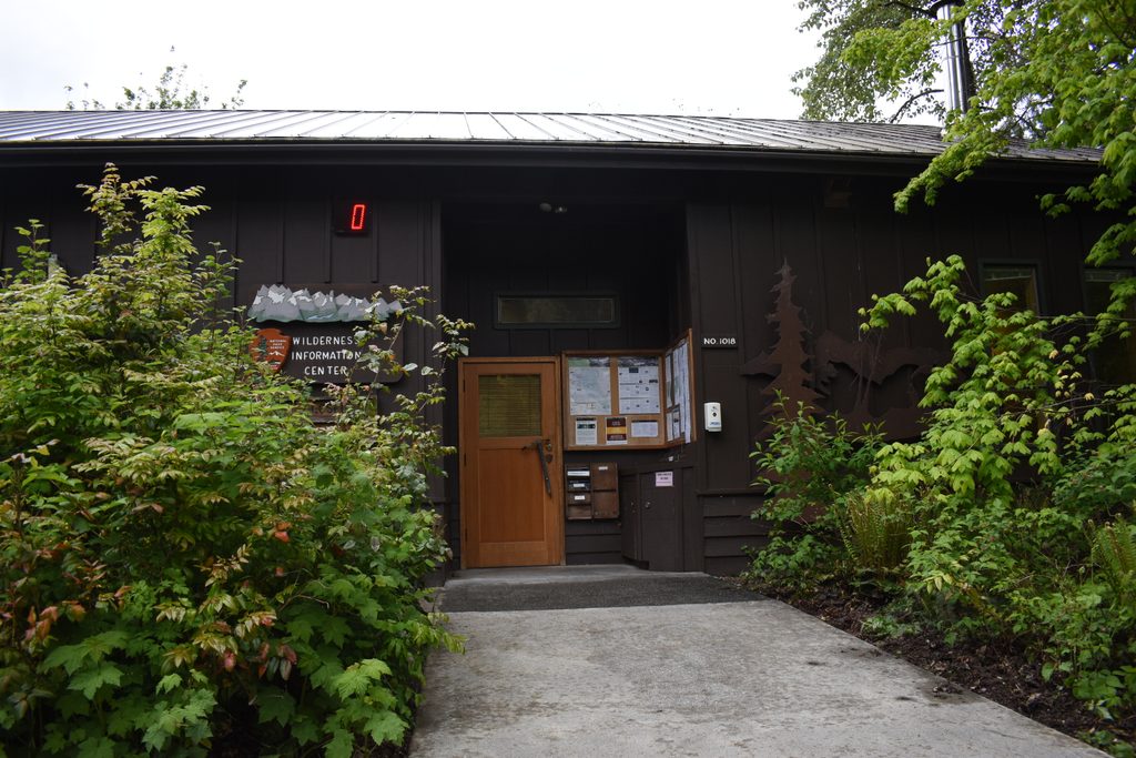
This is the park’s backcountry brain. The Wilderness Information Center in Marblemount handles permits for overnight trips across the park complex, including Ross Lake and Lake Chelan. You’ll find an information desk staffed by rangers who can sanity-check your route, a relief-map exhibit to visualize terrain, and a small sales area with the maps and guidebooks you actually need.
What It Offers
- Backcountry permits required year-round, issued here in season.
- Rangers to answer questions on routes, current conditions, and logistics.
- Exhibits (including a large relief map) and a modest bookstore for maps/books.
- In winter, when the building is closed, an outdoor self-issue station is available for permits.
Hours & Season
Open daily May 16–October 11, 7:00–11:30 am and 12:30–4:00 pm. There’s a midday closure, so time your pickup to avoid getting stuck outside during the break.
Best Time to Visit
If you’re backpacking on a weekend, expect the morning rush—Friday and Saturday mid-morning are the busiest. Afternoons tend to be calmer after the 12:30 reopening. People typically spend up to 45 minutes here; build that into your trailhead timing.
Getting There
Address: 7280 Ranger Station Rd., Marblemount, WA. From SR 20, turn onto Ranger Station Rd. at milepost 105.3 and drive 0.7 miles to the end. There’s on-site parking. There’s no park shuttle, so you’ll need your own vehicle.
Good to Know
- Have a Plan A and Plan B for camps/zones—permits are popular during peak season.
- Check current road, trail, river, and lake conditions before you go; they change fast in these mountains.
- Restrooms are not clearly listed among facilities here; don’t rely on them after hours.
- Marblemount is the closest town for basic services before you head deeper into the park.
Where it is
48.5384, -121.4481Tips for Wilderness Information Center (Marblemount)
- 01Arrive before opening or after 12:30 pm to avoid the longest lines.
- 02Bring a backup itinerary—popular camps and zones can fill fast.
- 03Use the winter self-issue station when the building is closed.
- 04Check the park’s conditions page the day before your permit pickup.
- 05There’s a midday closure; plan your trailhead departure accordingly.
Amenities
Near Wilderness Information Center (Marblemount)
All places →All trails →
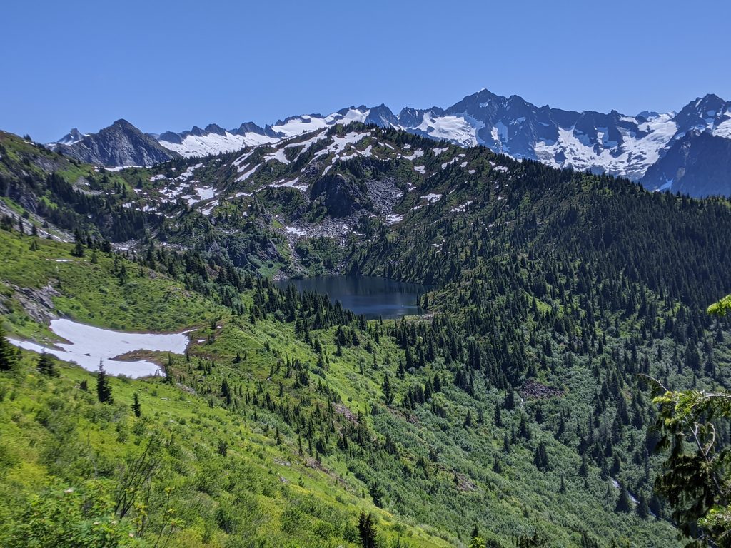
7 mi awayMonogram Lake TrailSteep grind to a jewel-like cirque lake and big North Cascades viewsChallenging · 9.8 mi · 7.4 hr
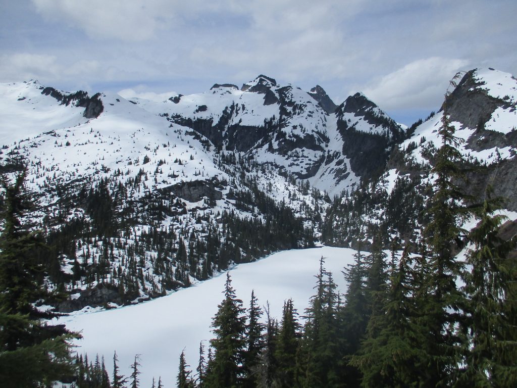
10.2 mi awayThornton Lakes TrailSteep forest climb to turquoise lakes and a jaw-dropping ridgeChallenging · 9.3 mi · 6 hr
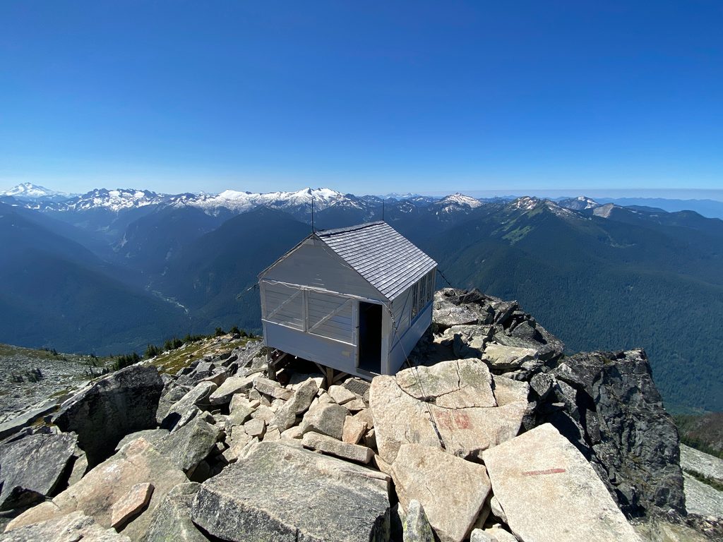
10.5 mi awayHidden Lake Lookout TrailBig views and a sleepable fire lookout above a truly hidden lakeChallenging · 8.8 mi · 7 hr
11.5 mi awayHidden Lake LookoutHistoric fire lookout with 360-degree views over Hidden LakeScenic Viewpoint
11.6 mi awayThornton LakesJagged-peak views and icy-blue cirque lakes via a tough climbTrailhead · Parking
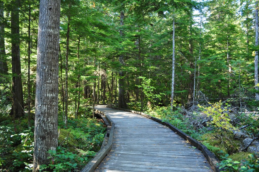
12.1 mi awaySterling Munro BoardwalkWheelchair-friendly dash to big Picket Range and glacier viewsEasy · 0.1 mi · 6 min
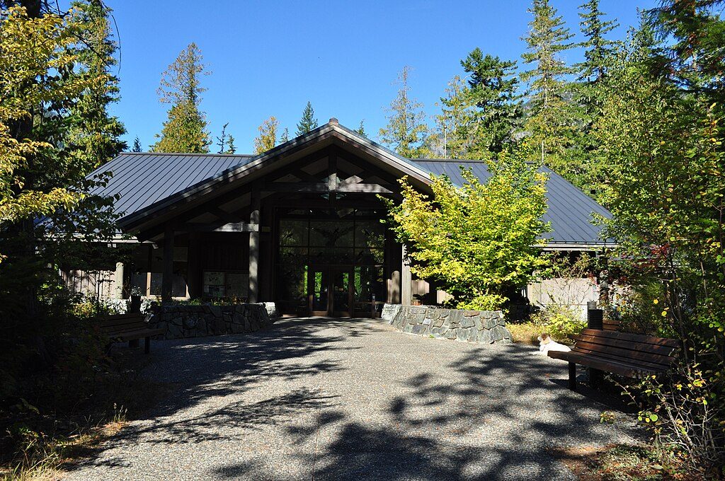
12.1 mi awayNorth Cascades Visitor CenterBest intro stop with exhibits, a film, and easy trailsVisitor Center · Restroom
12.4 mi awayGoodell Creek Campground — Ross Lake National Recreation AreaSmall, shady riverside campground near Newhalem and river accessCampground · Restroom