
Place · 6 mi away
Challenging
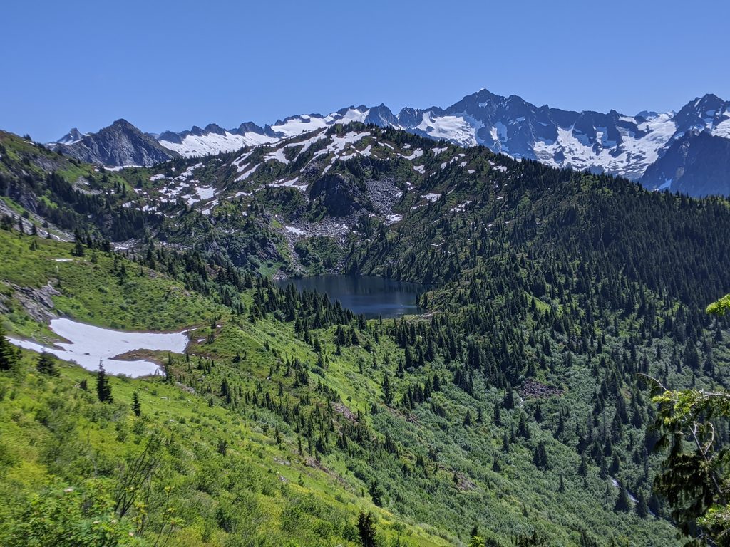
Monogram Lake is a burly, rewarding out-and-back that makes you earn every view. It’s about 9.8 miles round trip with over 4,500 feet of total climbing, and it feels every bit of it. If you like big vertical, quiet subalpine meadows, and a classic glacial cirque lake, this is your hike. If you’re looking for an easy lake stroll, this is not it.
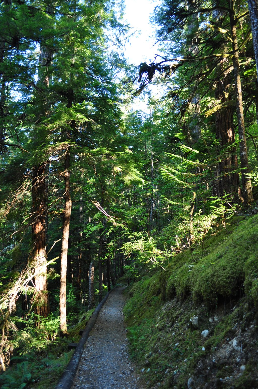
The route launches straight into steep, shaded switchbacks through dense forest. Expect a brushy avalanche opening partway up that can host stinging nettles. Around 2.5 miles you hit the first reliable water; not far after a 2.8-mile junction (left to Lookout Mountain, right to Monogram Lake), you cross into the national park and another creek appears about a mile past the boundary. Breaking out of the trees, the trail enters flower-filled subalpine meadows, then tops a ~5,400-foot ridge before dropping roughly 600 feet into the lake basin—remember, you’ll climb that on the way out. On clear days, keep an eye out for big names on the skyline like Eldorado Peak and Hidden Lake Peak, and sometimes even Mount Baker.
Monogram is a textbook glacial cirque: a small, jewel-like lake tucked beneath Little Devil Peak with meadows that pop in late summer and fall. The scenery is grand yet intimate—a perfect snapshot of the North Cascades’ glaciated drama without the crowds of the marquee destinations.
Aim for mid/late summer through early fall. The lake is often frozen until July, and lingering snow can complicate travel earlier. Meadows bloom in summer; berries ripen late summer into fall, and autumn colors can be vivid. Start early for cooler temps and better light, bring insect repellent (bugs can be thick in warm weather), and wear long pants to handle the brushy, nettle-prone section.
There are two small designated camps near the lake, and a backcountry permit is required for any overnight. No fires. The meadows are fragile—stay on durable surfaces (trail, rock, or snow). Black bears are common; store food and scented items securely. Pets are not allowed once you cross into the park or at the lake.
From SR 20, take Cascade River Road about 7 miles to a small roadside pullout on the right; the trail climbs away on the left. Parking is limited. Trip reports have noted occasional vehicle break-ins—leave no valuables. There’s no toilet at the trailhead (you’ll find one near the lakeside camps). Poles are helpful for the steep grades and the 600-foot re-climb from the basin. Carry plenty of water and a filter—there are mid-route creeks and, of course, the lake. Parts of the path can feel rough or “sketchy” in places; turn around if conditions or comfort say so. If you’ve got extra gas, the Lookout Mountain junction offers a worthy side mission (on a separate trail) that adds miles and vert.
Small roadside pullout ~7 miles up Cascade River Road from SR 20 (pullout on right, trail on left); limited space, no toilet at the trailhead.
Very steep with rough spots; nettles and bugs in summer; occasional car break-ins at the trailhead; lake often frozen until July; no pets, no fires, and fragile meadows—stay on durable surfaces.
Place · 6 mi away
Place · 7 mi away
Place · 7.7 mi away
Place · 8 mi away
Challenging · 4.6 mi away
Challenging · 7.6 mi away
Easy · 7.7 mi away
Easy · 7.7 mi away

Parkwolf Tour Guide
