
Place · 1.8 mi away
Easy
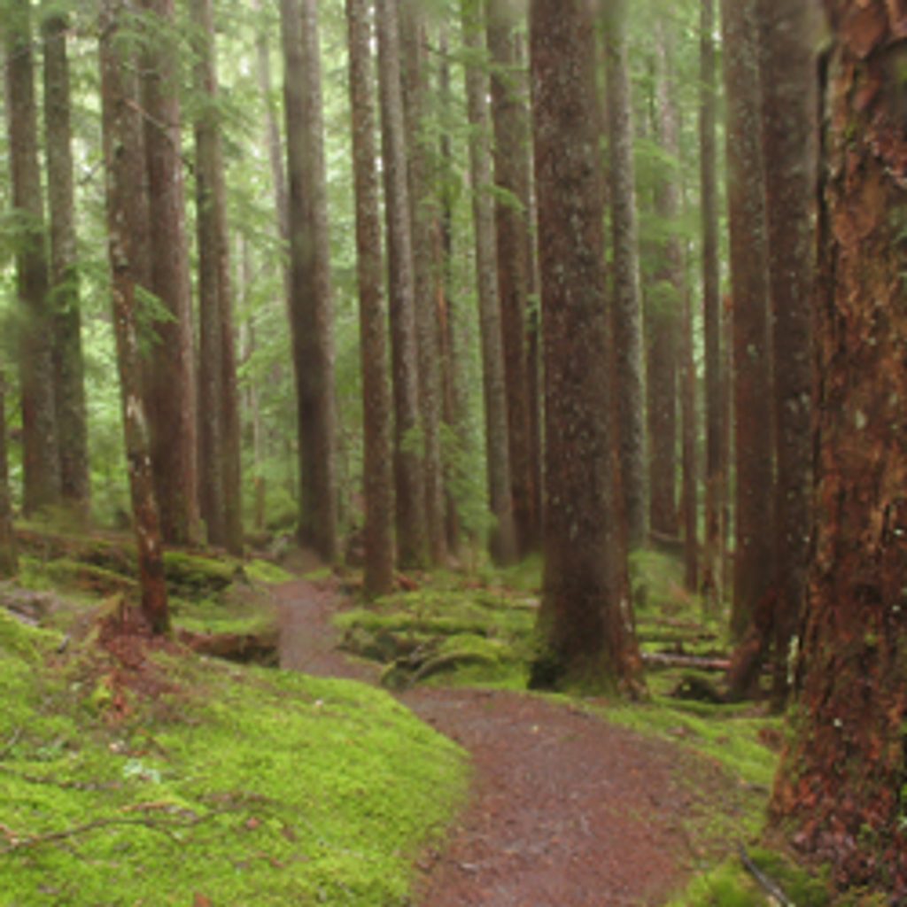
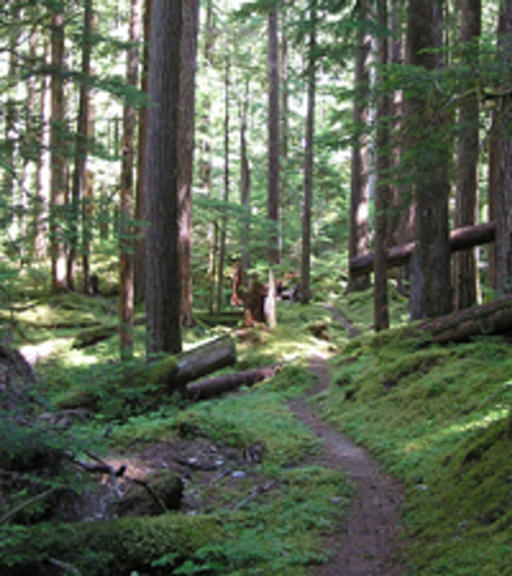
If you’re chasing a classic Olympic rainforest walk with a quirky payoff, this is it. From the Boulder Creek trailhead, it’s about 2.5 miles one way (5 miles total) on mellow grades through cool, moss-draped forest to a cluster of primitive geothermal pools tucked beside Boulder Creek. Think old-growth fir, cedar, and hemlock, ferns underfoot, and the occasional small stream crossing.
Access is the catch. The Elwha corridor is closed to vehicles beyond Madison Falls due to washouts. Per the park, it’s 7.9 miles from Madison Falls to the Boulder Creek Trailhead via a temporary access route along the closed Olympic Hot Springs Road. Many people bike this approach and then hike the last 2.5 miles to the springs; others walk the whole thing for a big day. Plan your time accordingly.
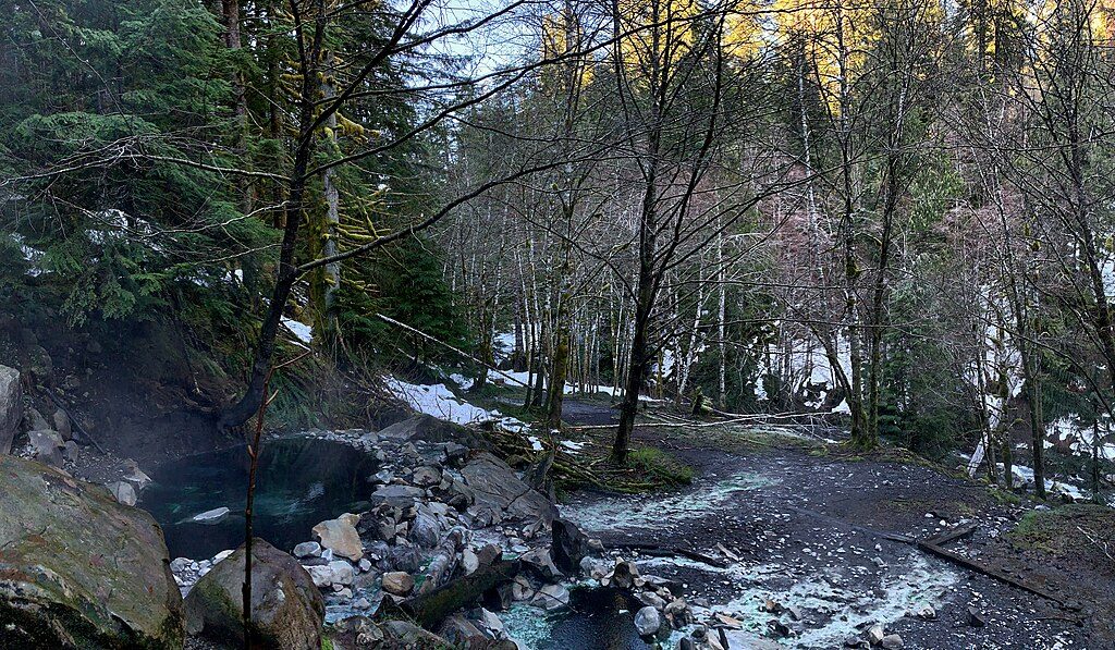
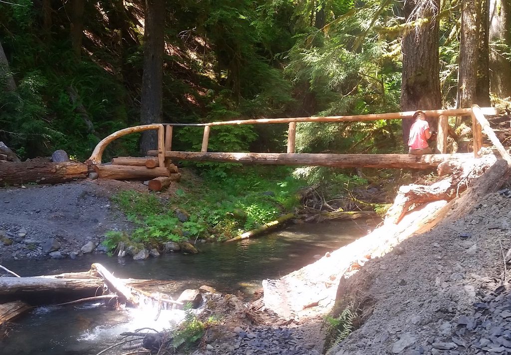
At the former parking area near Boulder Creek Campground, take the left fork toward the springs, cross the bridge over Boulder Creek, and look for multiple small pools edged with multicolored algae. These pools are unmaintained and untested—temperatures and clarity vary, and soaking is at your own risk. Boulder Creek Campground nearby serves backpackers now (bear wires, pit toilet); no campfires.
Geology and context add depth: you’re traveling a rewilding corridor once used to reach an early 20th‑century resort. The deep, glacially carved Elwha valley and regional tectonics set the stage; groundwater percolates, heats, and resurfaces here as mineral-rich springs.
Best time to hike: Year-round in theory, but winter storms and ongoing road work can complicate the approach—always check current conditions. Go early or late on weekends for more solitude at the pools. The forested path shoots best under soft morning or late-afternoon light.
Bottom line: Worth it if you’re excited for a rustic soak and don’t mind a long, closed-road approach. If you want a quick-hit Olympic sampler without the logistics, consider other Elwha-area forest walks instead—this one’s about the journey and the (very) primitive destination.
Park at Madison Falls (vehicle closure beyond). From there, hike or bike 7.9 miles along the closed Olympic Hot Springs Road to the Boulder Creek Trailhead, then continue 2.5 miles to the hot springs.
Expect a long closed-road approach; bridges/log crossings may exist; hot-spring pools are unmaintained and untested; treat water and collect upstream of springs; secure food at camp due to bears/raccoons; no campfires.
Place · 1.8 mi away
Place · 2.2 mi away
Place · 2.7 mi away
Place · 3.5 mi away
Challenging · 0 mi away
Challenging · 1.2 mi away
Challenging · 3.5 mi away
Moderate · 3.5 mi away

Parkwolf Tour Guide
