
Place · 1.8 mi away
Challenging
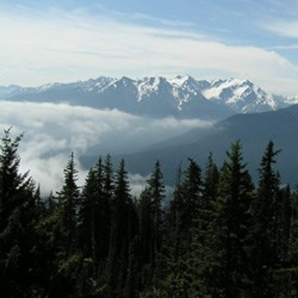
If you’re up for a big day (or a rewarding overnight), Happy Lake Ridge dishes out a stout climb to a remote high ridge, then keeps the views coming—glaciers on Mt. Carrie and Mt. Olympus to the south, the Strait of Juan de Fuca to the north, and the Elwha River Valley sprawled below. It’s rugged, quiet, and very Olympic.
Most hikers experience this as a loop of about 18.8 miles total, linking the Happy Lake Ridge Trail with Boulder Lake, Boulder Creek, and a road segment to close the circuit. Expect an unrelenting initial ascent—roughly 2,850–3,000 feet over the first 3 miles—before the trail settles onto the ridge. Around 5.8 miles in, a signed junction leads about 0.5 mile down to Happy Lake (about 400 feet of descent) where established camps make an excellent overnight base. The ridge itself often trends just below the crest, with constant peeks into big country. You can also do an out-and-back to the ridge viewpoints or include Boulder Lake for a longer traverse feel.
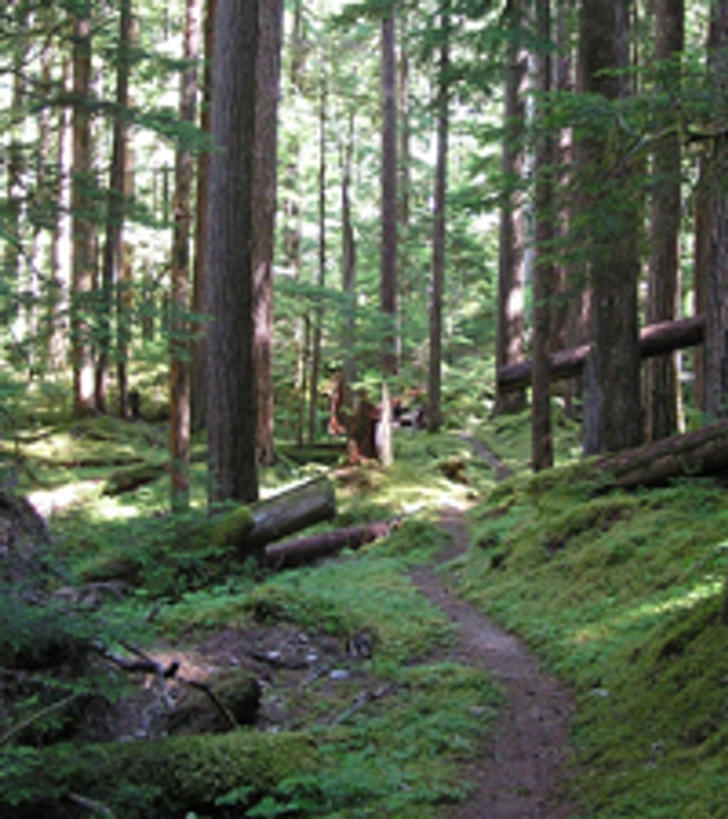
This is classic Olympic high country: airy forests giving way to open ridgeline walking, red rocky outcrops, and wide panoramas. On clear days you’ll spot ice on the high peaks to the south and the silvery Strait to the north. Summer brings wildflowers; the rest of the year can feel wonderfully empty, but also tougher.
Access is the catch. Olympic Hot Springs Road is often closed, which means parking at Madison Falls and hiking or biking roughly 6.5 miles to the trailhead before the real climbing starts. The loop typically uses trail down to Boulder Lake, then continues to the Boulder Creek area and old roadbed before a final road walk back to your start. Check current road and trail conditions before you commit.
This route is strenuous and rated “extra difficult” by multiple sources. Higher sections can hold snow in any season, the tread can be faint, and long ridge segments are dry—carry more water than you want to. The park advises having map-and-compass (or GPS) skills and a solid plan; tell someone your itinerary. Happy Lake and Boulder Lake provide reliable water and established camping. Backcountry permits are required for overnight stays, and pets are not allowed.
Late June through September is your best window: snow tends to melt off the ridge, wildflowers pop, and navigation is simpler. Early season can mean deep, lingering snow and tough route-finding. For photos, mornings often bring clearer views to the south; late-day light can be spectacular across the Elwha and out to the Strait.
When Olympic Hot Springs Road is closed (common), park at the Madison Falls gate and hike or bike ~6.5 miles to the Happy Lake Trailhead; otherwise use the small pullout at the trailhead.
Steep initial climb, frequent road closures, long dry ridge sections, lingering snow any season, and potentially faint tread—carry extra water and be prepared to navigate.
Place · 1.8 mi away
Place · 2.3 mi away
Place · 2.9 mi away
Place · 3.3 mi away
Challenging · 1.2 mi away
Easy · 1.2 mi away
Challenging · 2.3 mi away
Moderate · 2.3 mi away

Parkwolf Tour Guide
