
Place · 0 mi away
Challenging
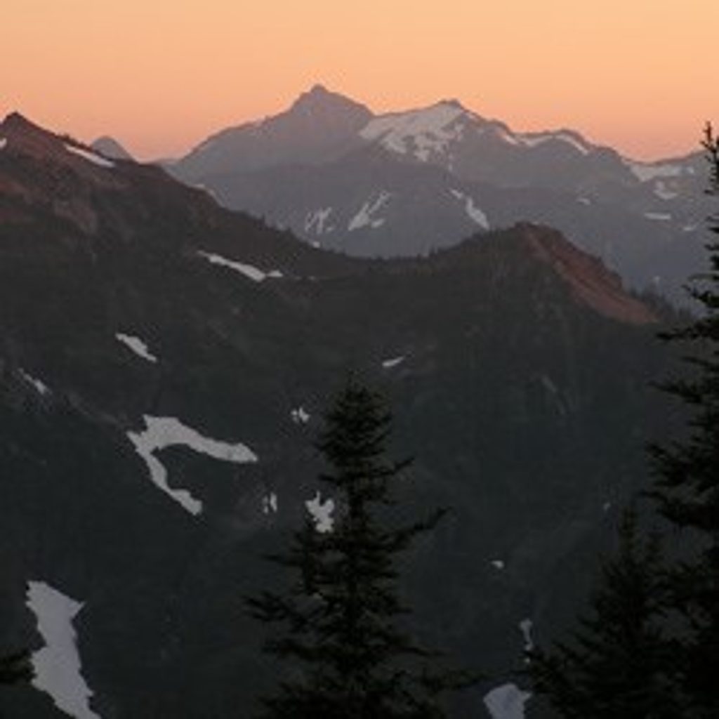
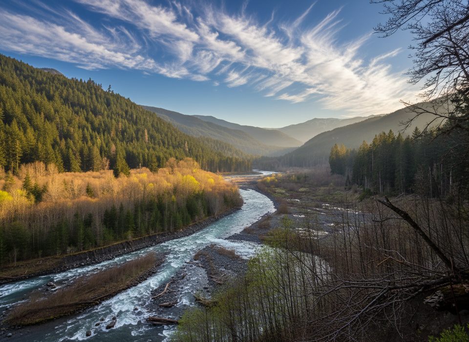
If you like long, quiet climbs that finish with a knockout panorama, Dodger Point delivers. This primitive backcountry route climbs from the Elwha River into subalpine meadows and tops out by the restored 1933 Dodger Point Fire Lookout, with sweeping views of Mount Olympus, the Bailey Range, and deep green valleys below. Expect real solitude, a historic destination, and some of the park’s widest horizons.
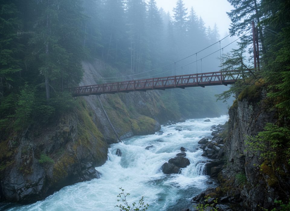
Most hikers start from the Whiskey Bend area and follow the Elwha River Trail to the Dodger Point suspension bridge, then grind up Long Ridge toward Dodger Point. It’s a steady, sustained climb on dirt singletrack with roots and occasional rocky patches—there aren’t many flat breaks. Total distance is typically about 27 miles round-trip from Whiskey Bend; if the Elwha/Whiskey Bend Road is closed, starting at Madison Falls can push it into the 40+ mile range (out-and-back total).
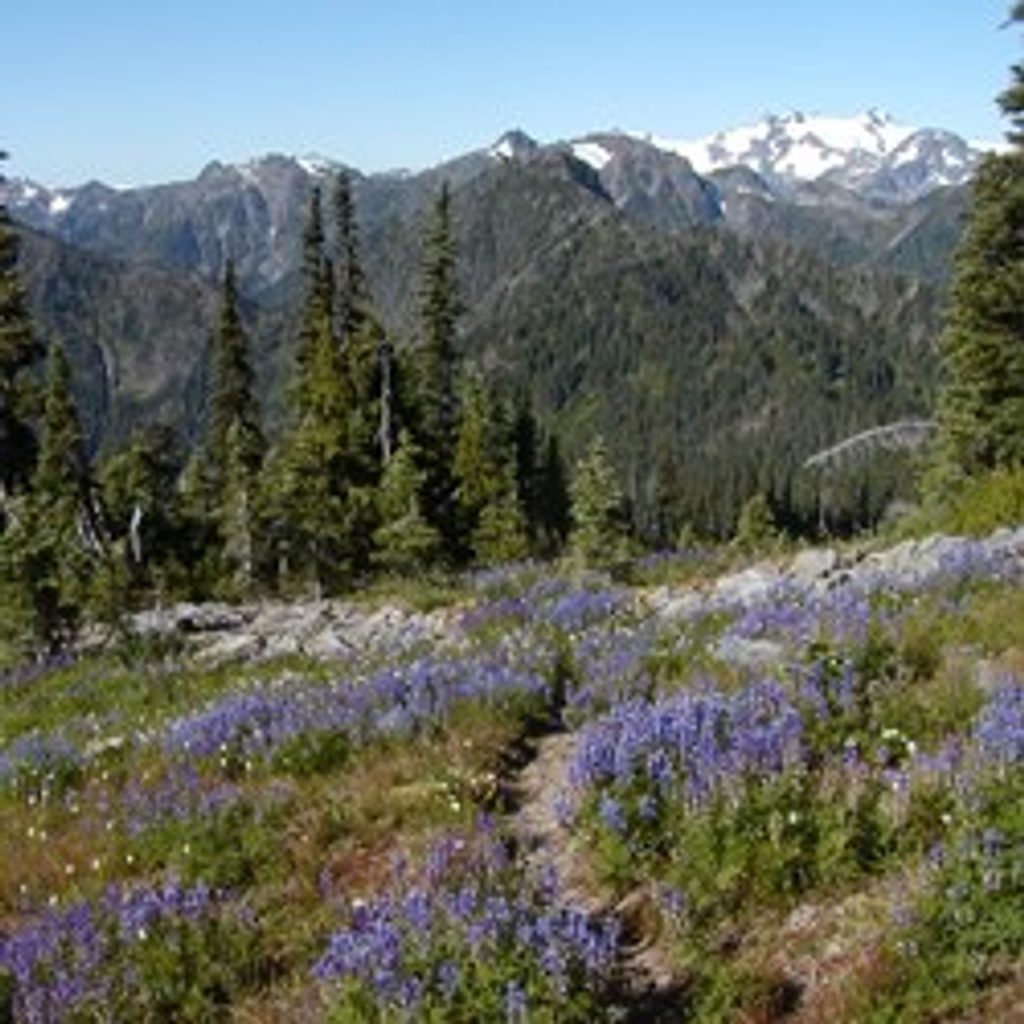
You’ll leave deep, mossy forest for open subalpine meadows dotted with summer wildflowers and small snowmelt tarns. Near the top, huckleberry patches can attract black bears—give them space. From the lookout area (the cabin is locked), the 360-degree views sweep across Mount Olympus, the Bailey Range, and peaks like Mount Dana, Wilder, Christie, Scott, and Barnes, with the Hayes River Valley dropping away to the south.
This is a big day (or better, an overnight) with roughly 6,500 feet of elevation gain to the 5,760-foot summit area. Water is scarce on the ridge; in a warm, dry stretch there may be no reliable sources until seasonal tarns just below the summit—carry plenty and treat anything you find. Blowdowns can be numerous after storms and will slow you down. The lookout is not open for public use. Overnight trips require a wilderness permit; there are designated sites near Dodger Point.
Road washouts often block vehicle access past Madison Falls, adding about 7 miles each way on the closed road to reach Whiskey Bend—many hikers bike this approach to save time and legs. Some route descriptions for the “Way” note an Elwha River crossing to access it from the main valley trail; conditions and access points change, so confirm the latest with the park before you go.
Late July through September is the sweet spot: meadows melt out, wildflowers pop, and lingering snowfields are less of an issue. Early season can still hold snow near the top and make water planning trickier. For photography, aim for early morning or late afternoon when the high country glows and peaks cast long shadows.
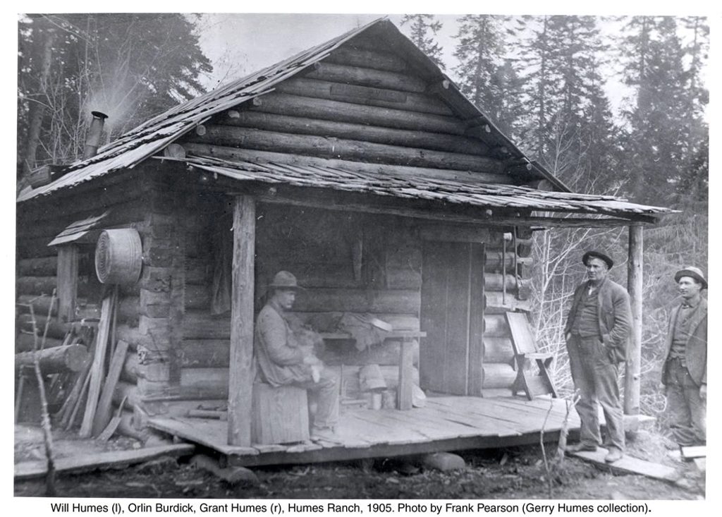
This is a strenuous, remote outing best for experienced hikers comfortable with long days, big climbs, and variable conditions. If you want a shorter sampler of Elwha history and river scenery, the Humes Ranch area is a friendlier alternative—but for backcountry payoff and an iconic lookout perch, Dodger Point is hard to beat.
When the Elwha/Whiskey Bend Road is closed, park at Madison Falls and hike/bike the closed road to Whiskey Bend. If open, drive US-101 > Olympic Hot Springs Road > Whiskey Bend Road to the Whiskey Bend Trailhead.
Long, remote climb with ~6,500 feet of gain and scarce water on the ridge. Expect blowdowns. Seasonal snow can linger near the summit. Road closures often add ~7 miles each way on the approach; some descriptions note a river crossing to access the Way—confirm current conditions with the park.
Place · 0 mi away
Place · 2.1 mi away
Place · 2.5 mi away
Place · 2.6 mi away
Moderate · 0 mi away
Easy · 0 mi away
Challenging · 0 mi away
Challenging · 0 mi away

Parkwolf Tour Guide
