
Place
Easy
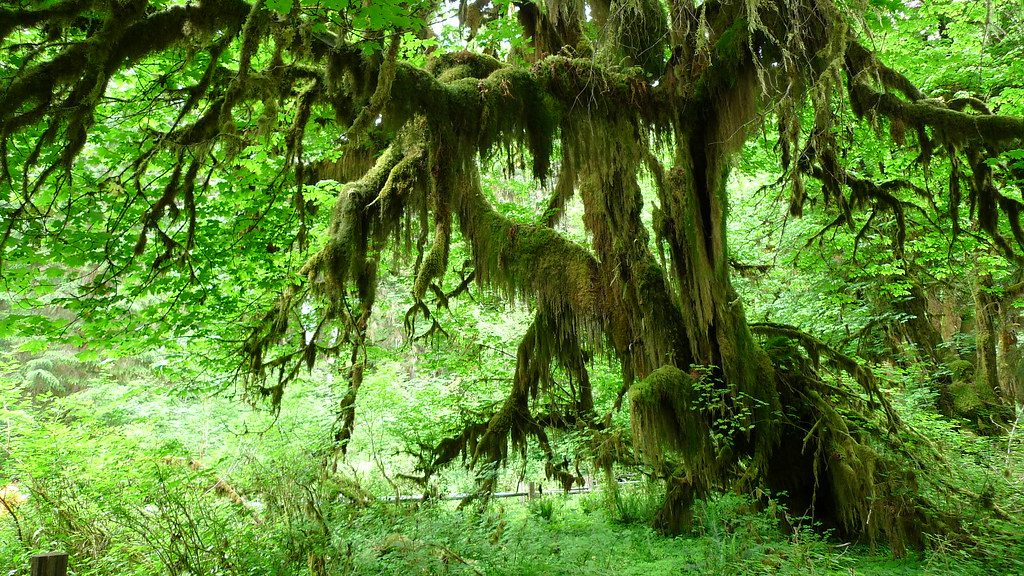
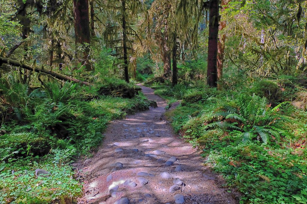
If you want a quick hit of classic Quinault Rain Forest—moss-draped maples, emerald understory, and the hush of the river—this short loop delivers without much effort. It’s a mellow walk that feels worlds away once you step under the canopy.
This is an easy loop of about 1.0 mile total with roughly 50 feet of elevation gain. The path rolls through lush temperate rain forest, then edges toward the East Fork Quinault River where a lovely meadow opens up beside the water. Expect birdsong, the river’s low roar, and a carpet of ferns and moss.
A heads-up: flooding (notably in 2016) and ongoing riverbank erosion have chewed up sections near the river. The official tread disappears in places, and you may need to follow informal paths along the riverbank before reconnecting with the main loop. The meadow is a reliable landmark for finding your way back. It’s still an easy outing, but a smidge of route-finding is part of the deal.
Trailhead parking and access are at Graves Creek Campground in the Quinault area. Reaching it involves a rough gravel approach: about 13 miles on South Shore Road from Highway 101, then 5.8 miles on Graves Creek Road. Day hikers don’t need permits beyond the standard park entrance pass, and pets aren’t allowed on this trail.
Yes—if you’re after a peaceful rainforest sampler, especially if you’re camping at Graves Creek or passing through the Quinault side of the park. If a perfectly manicured loop is your thing, the washed-out riverside stretch may frustrate you. But for a low-effort wander with river access and a meadow payoff, it’s a sleeper gem.
Spring through early fall is prime: long daylight, lush greens, and generally friendlier weather. Mornings and weekdays are the quietest. Overcast light makes the moss and ferns glow; bring a light rain layer—this is rain forest, after all.
Park at Graves Creek Campground trail access in the Quinault area; reached via 13 miles on South Shore Road from Hwy 101, then 5.8 miles on rough Graves Creek Road.
Sections near the Quinault River are washed out from flooding and erosion; expect informal paths, uneven footing, and brief route-finding along the riverbank.
Place
Place
Place
Place
Challenging
Moderate
Challenging
Challenging

Parkwolf Tour Guide
