
Place · 0 mi away
Challenging
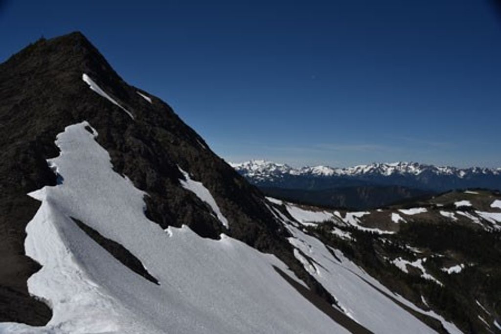
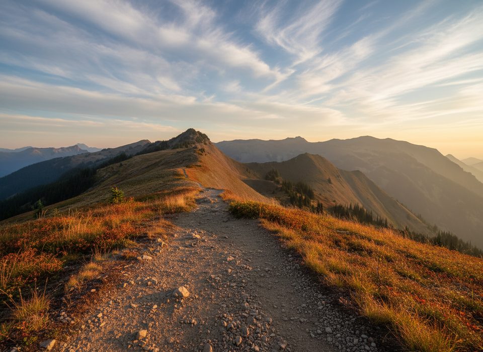
This is the Olympics’ loftiest traverse—an airy, almost continuous ridge walk with horizon-to-horizon views. It runs 7.5 miles one way between Obstruction Point and Deer Park (plan a shuttle unless you want a 15-mile out-and-back). If you go Obstruction Point → Deer Park, expect roughly 700 feet of cumulative gain and about 1,440 feet of loss, trending downhill overall.
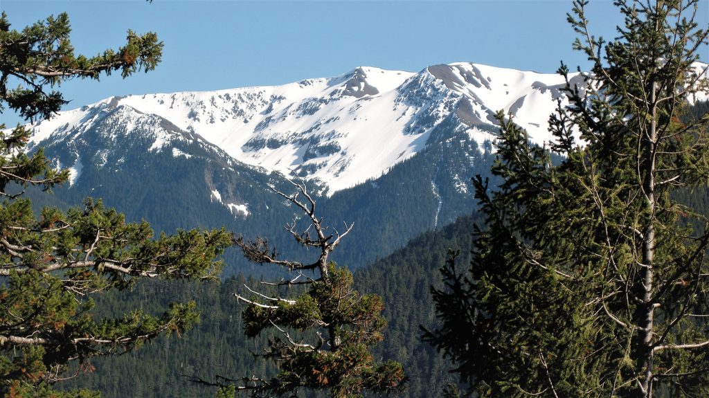
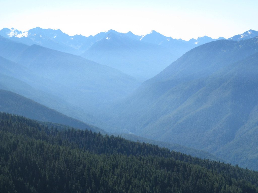
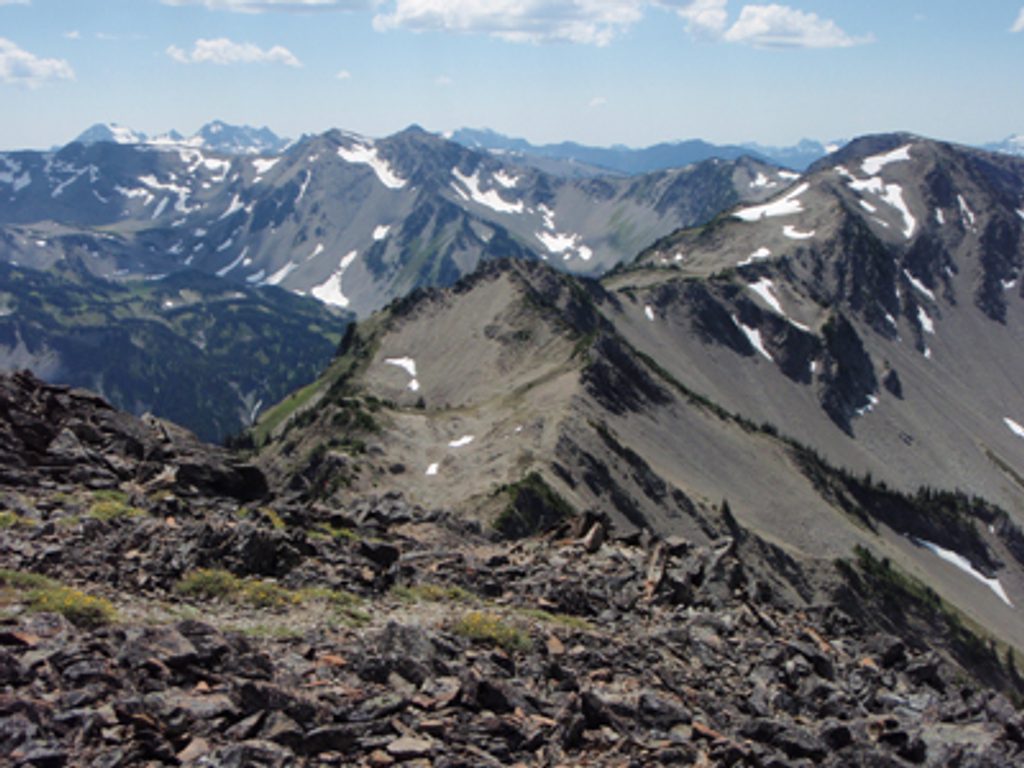
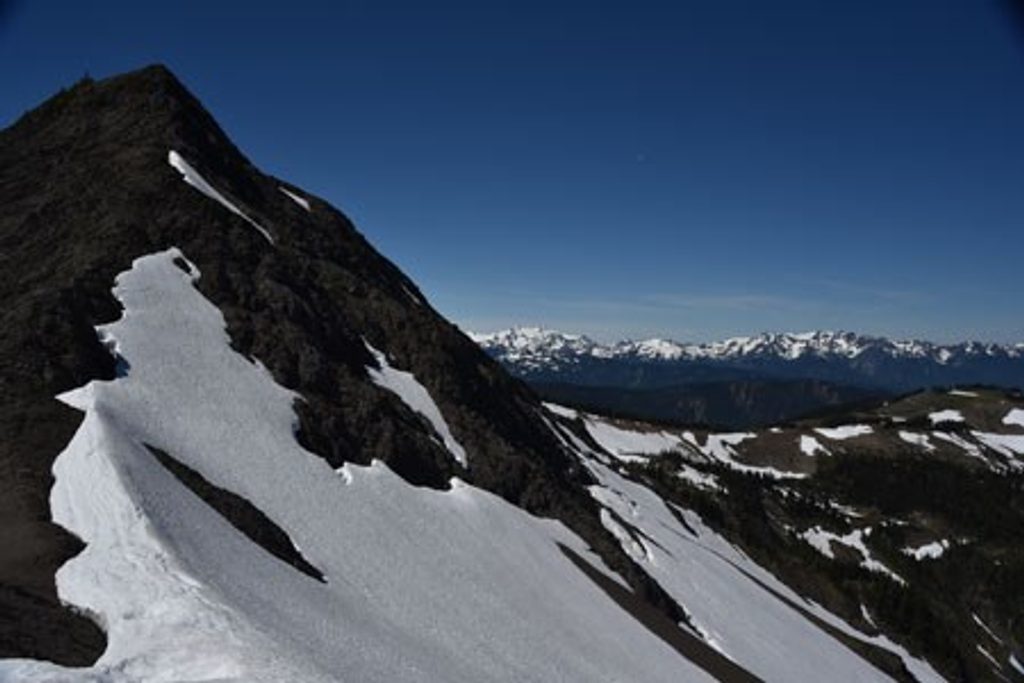
It’s all big sky: jagged, glacier-streaked peaks of the Olympic Range, the Strait of Juan de Fuca, Canada, and, on clear days, the Cascades. You’ll skirt below Elk Mountain and Maiden Peak, traverse meadows and rocky alpine tundra, and spy suspended lakes like Grand Lake and Moose Lake far below. Wildlife shows up if you’re patient—Olympic marmots, horned larks, deer, and a mix of alpine birds. The Roaring Winds area sits along the middle of the route; the official campsite there is the highest in the park.
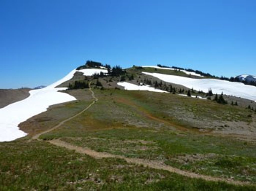
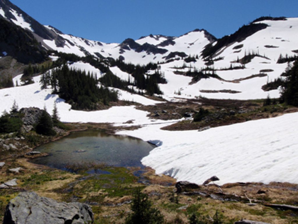
The tread narrows in spots with steep side drop-offs—nothing technical, but exposure-sensitive hikers will notice. The route is mostly above treeline: no shade, no reliable water, and full exposure to wind and weather. Early to mid-summer can bring lingering snowfields near Obstruction Point (a steep one east of the trailhead sometimes lingers into July). On clear, calm days it’s magic; in fog or storms this ridge can turn sketchy fast.
From Hurricane Ridge, Obstruction Point Road is a slow, steep 7.6-mile gravel drive to the western trailhead; it’s narrow and not recommended for large vehicles or trailers. On the east end, the trail starts by Deer Park campground/parking and immediately drops a couple hundred feet to a saddle. A point-to-point car shuttle is the most enjoyable way to hike the full ridge in one go.
Mid-July through September is the sweet spot. Earlier, expect lingering snowfields; later, storms arrive quickly. Aim for a clear forecast to cash in on the views, start early to beat afternoon winds, and bring layers—this ridge is famous for living up to its name.
Don’t want the full commit? From Deer Park, a 3.5-mile out-and-back to Maiden Peak delivers huge views. From Obstruction Point, a roughly 5.5-mile round trip to just before the Roaring Winds descent gives a great sampler.
If you love airy alpine walking and can manage exposure and self-sufficiency (water, layers, navigation), this is one of the Pacific Northwest’s signature ridge hikes—with fewer crowds than Hurricane Ridge proper and views that just don’t quit.
Park at either end: Obstruction Point Trailhead at the end of a steep, narrow 7.6-mile gravel road from Hurricane Ridge (large vehicles/trailers not recommended), or at Deer Park near the campground/parking area.
Exposed, waterless ridge with sudden weather shifts; narrow tread with steep drop-offs; early-season snowfields near Obstruction Point may require traction or an ice axe; rough, narrow access road.
Place · 0 mi away
Place · 0.5 mi away
Place · 1.6 mi away
Place · 2.5 mi away
Challenging · 0 mi away
Challenging · 0 mi away
Moderate · 0 mi away
Moderate · 0 mi away

Parkwolf Tour Guide
