Parking
The trailhead is beside the Hoh Rain Forest Visitor Center; use its parking area.

#5 of 148 trails in Olympic
Olympic National Park, WA
Rainforest for miles, then a steep climb to Glacier Meadows.
Overview
Map & elevation
Plan your hike

The highest, rockiest slopes around here are a summer buffet for grizzly bears.
Olympic Tour Guide
Parkwolf is a GPS audio tour guide for Olympic National Park. As you drive, it chimes in with what’s ahead: hidden gems, upcoming stops, history, geology, and wildlife, right through your car’s speakers.
See the Olympic audio tourRecorded for this trailhead
Hoh Rain Forest: Under the Moss“Up ahead is the Hoh Rain Forest visitor area, where I'd give most of your time to the trees. The Hall of Mosses loop takes you beneath huge conifers and bigleaf maples hung with moss.”
Plays as you drive up to this trailhead in the Parkwolf Olympic Tour Guide.
More stories near here in the app
“Fantastic app with many points of information… It’s great to just turn on while you’re driving and it gives you an audio tour of the national Park. We love it!!!!”


Trail guide
The Hoh River Trail is a long out-and-back from the Hoh Rain Forest Visitor Center area to Glacier Meadows on the shoulder of Mount Olympus. The full trip is 34.8 miles round trip (17.4 each way), with about 3,700 feet of climbing. Most of the first 13 miles are nearly level in temperate rainforest; the upper stretch climbs steeply through montane forest into subalpine meadows. You get the river valley first and a high mountain finish at the far end. This is a hard, multi-day backpack, not a day hike: plan on two to three days and roughly 20 hours of walking spread across them. If you want a shorter taste of the lower river, turn around at Five Mile Island.
The trail starts in the Hoh Rain Forest Visitor Center area and follows the river through a thick, shaded forest. It is generally well maintained, and the first long stretch stays comparatively gentle, so the miles can feel deceptively easy. Near mile eight, the path crosses a braid of the Hoh; smaller streams appear along the way. Pause to read the water before stepping in. The river and little side streams supply water, but treat every drop before drinking.
Beyond the lower valley, the trail changes character. The level rainforest gives way to a sustained climb toward Elk Lake and the upper basin, with the forest thinning into subalpine meadow. Two fords before Olympus Guard Station can rise sharply after rain or snowmelt and may become impassable. Early-season snow can hide the route and make steep slopes icy; winter travel above Elk Lake enters avalanche terrain. Check current trail conditions and be ready to turn around if a crossing or snow slope is beyond your comfort level.
A washed-out avalanche chute about a quarter mile before Glacier Meadows is the route’s crux: hikers descend a steep, loose slope on a rope ladder. It is an exposed obstacle that calls for care, especially with a full pack. Check the latest condition report before setting out; the reported ladder condition can change. Glacier Meadows is the turn-around for this listing, with views toward Mount Olympus and Blue Glacier. The closer Blue Glacier viewpoint takes an additional climb of about 0.9 mile and 700 feet; that spur is not included in the 34.8-mile figure.
Overnight hikers need a wilderness permit and campsite reservation, and bear canisters are required for food, garbage, and scented items. Pit toilets are listed at Five Mile Island, Olympus Guard Station, Lewis Meadow, Elk Lake, and Glacier Meadows; elsewhere, plan for backcountry waste rules. There is no quick resupply on the route, so carry what you need for the days you plan to be out. The park lists late June through September as the best season, but snow and stream flow can still make conditions serious at the edges of that window.
The Hoh is a glacier-fed river, and fine rock flour ground from the mountains gives the water its cloudy slate-blue cast. Gravel bars and logjams shape the channel, making quiet pools among faster runs. Those wood-and-water tangles also help sustain salmon and the forest life tied to them. The valley’s remote setting has kept much of its character for thousands of years.
The park highlights wildlife watching along this corridor, and Roosevelt elk live in the Hoh Valley, though an encounter is never guaranteed. Move quietly through the lower forest and scan meadow edges higher up. The change from closed-in rainforest to open upper basin is part of the reward: the same river corridor that begins under a dark canopy ends with a much wider mountain landscape.
Wildlife
 710 sightingsOlympic MarmotMost seen around 11 AMSighting map
 30 sightingsHumpback WhaleMost seen around 6 PMSighting map
 42 sightingsGrey WhaleMost seen around noonSighting map
 23 sightingsMountain LionMost seen around 8 PMSighting map
 71 sightingsMountain GoatMost seen around 7 AMSighting map
 306 sightingsBald EagleMost seen around 11 AMSighting map
Sighting maps show where each species has been reported across Olympic. Wildlife moves, so no sighting is guaranteed.
Keep exploring
 ChallengingHoh Lake Trail29.4 mi · 15 hr · At the trailheadA rainforest approach leads to a steep, exposed climb and subalpine lake.
 EasySpruce Nature Trail1.3 mi · 45 min · At the trailheadA short Hoh loop for nurse logs and river views.
 EasyHall of Mosses Trail0.8 mi · 54 min · 0.1 mi awayA moss-draped maple arch and a creek bridge in a short loop.
 EasyMini Rain Forest Trail0.2 mi · 9 min · 0.1 mi awayA quick loop past a bubbling creek, mosses, ferns and bridges.
 EasySouth Fork Hoh River Trail9.2 mi · 4.5 hr · 4.4 mi awayA long rainforest walk to the South Fork’s riverside end
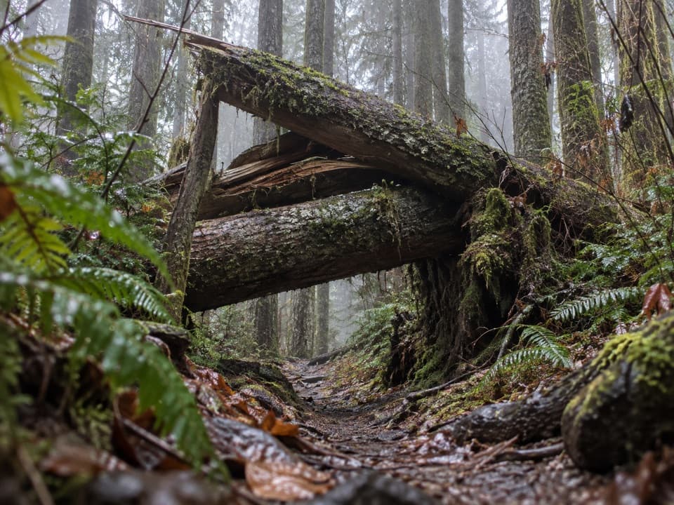 ChallengingSouth Snider-Jackson Trail10 mi · 8 hr · 5.1 mi awayA remote ridge crossing with a hazardous Bogachiel ford.
 ModerateLunch Lake Trail1.2 mi · 1.3 hr · 7.5 mi awayA rough half-mile drop to a lake with designated campsites.
 ChallengingAppleton Pass Trail14.8 mi · 9 hr · 7.9 mi awayA long climb past Sol Duc Falls to a high mountain pass.
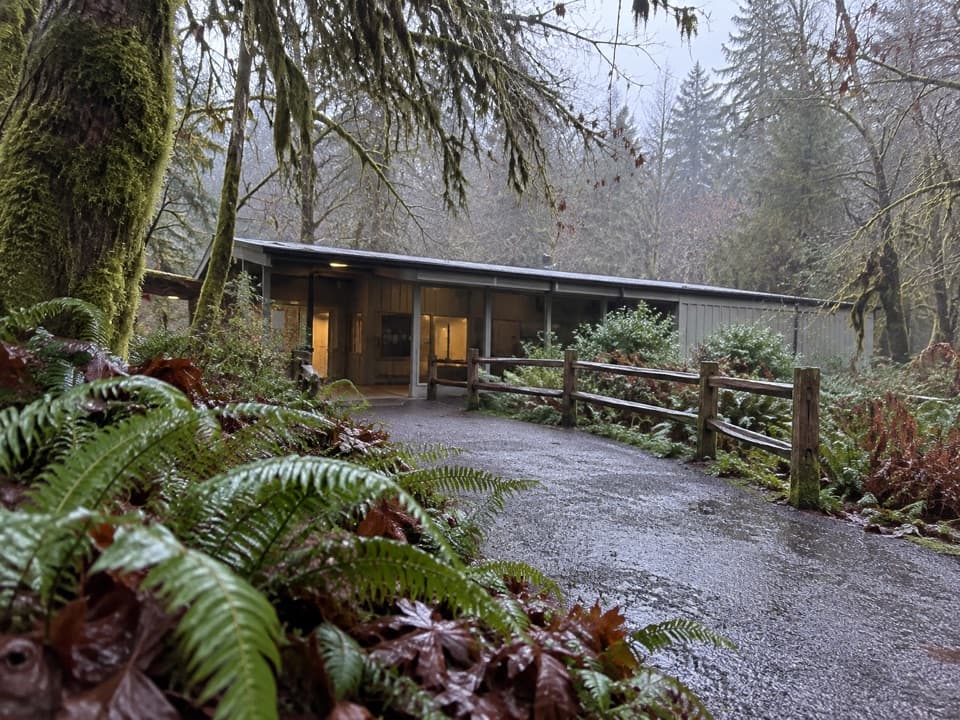 Visitor center · 0.1 mi awayHoh Rain Forest Visitor CenterStart here for ranger help and two mossy forest loops.
 Campground · 0.3 mi awayHoh Rain Forest CampgroundMossy old-growth camping, with a few riverside sites.
 Sight · 0.3 mi awayHoh Rain Forest Entrance SignA quick photo of the Hoh's roadside arrival sign.
 Entrance station · 5 mi awayHoh Entrance StationHandle passes, permits, and questions before the rainforest trails.
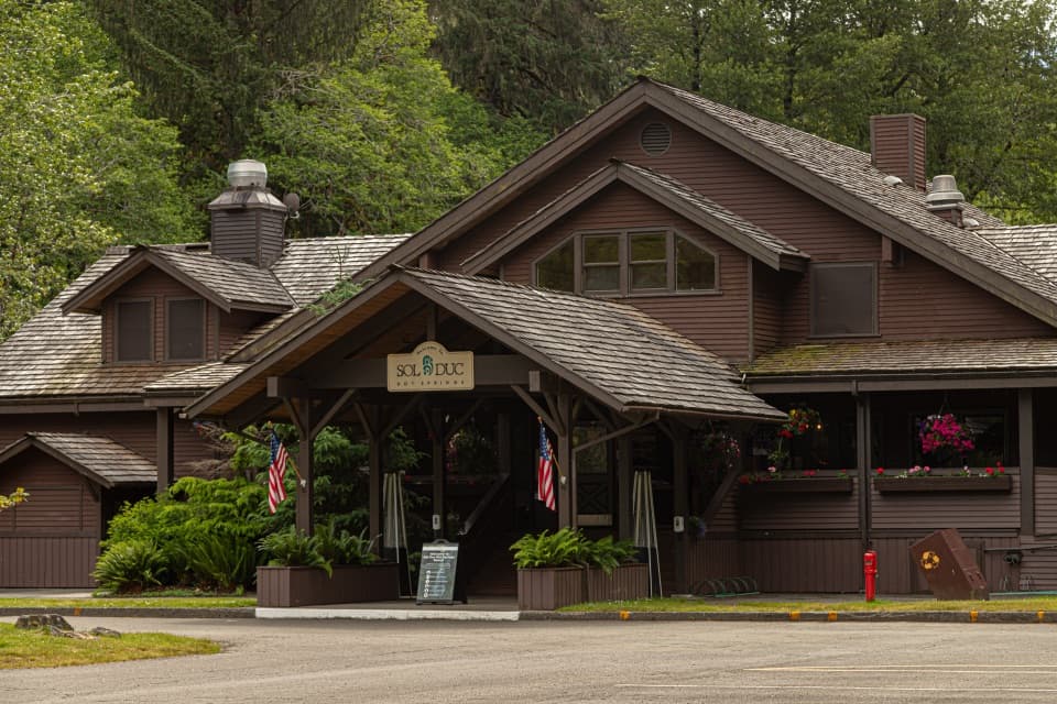 Sight · 8.1 mi awaySol Duc Hot Springs ResortThree mineral pools, plus a cooler dip in the Sol Duc valley.
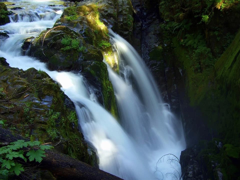 Sight · 8.2 mi awaySol Duc FallsA 48-foot cascade drops through a narrow, rocky canyon.
 Campground · 8.2 mi awaySol Duc Hot Springs RV Park and CampgroundCamp under old-growth trees, with Sol Duc Falls nearby.
Parkwolf’s Olympic ranking

The audio tour guide for the drive, plus offline maps, trails, and wildlife heatmaps for when the signal drops.



