
Place
Easy
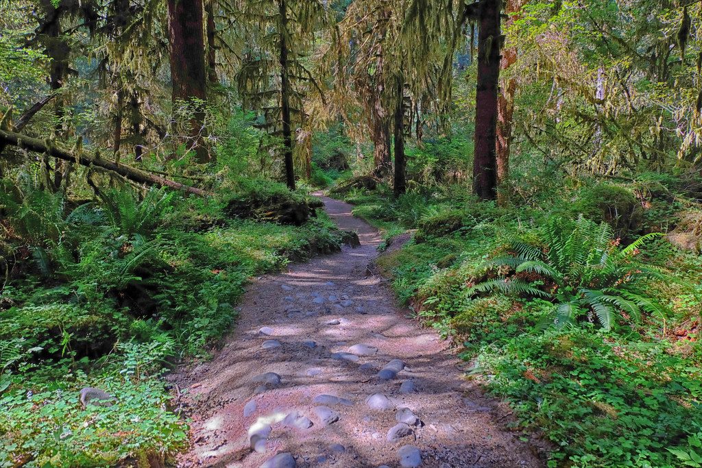
This is a mellow, scenic river walk on a decommissioned road that nature is steadily reclaiming. You’ll follow the Dosewallips River through lush forest, past burn-scarred logs from the 2009 Constance fire, and alongside frothy cataracts and side creeks. It’s the right pick when you want Olympic vibes without a quad-busting climb.
Route-wise, you start at the Dosewallips Road washout/trailhead and take a short, signed detour with a couple of switchbacks to regain the old road grade. From there, it’s wide and mostly gentle walking, with constant river company. Keep an ear out for the roar of Constance Creek and scan the valley for glimpses of snow-streaked peaks. You’ll spot bits of history along the way—mossy road signs, old picnic tables—reminders this used to be a drivable corridor.
At roughly 2.7 miles from the start, reach the spur to Elkhorn Camp. It’s closed to camping now, but it makes a fine sunny lunch or turnaround spot on the riverbank. Elk sometimes graze nearby, and patient birders may catch an owl in the trees. If you continue beyond Elkhorn, the grade steepens and the forest opens up more—good to know if you’re feeling strong and want to extend the day.
Stats: about 5.4 miles total out-and-back to Elkhorn with minimal elevation gain. Expect a broad, stable tread for most of the outing, though washout sections can be rougher and muddy. Water is abundant (river and side streams), but treat or filter all of it.
Best time to hike: Spring through fall. Spring brings lush greens and a roaring river (and often fewer people); fall adds color and softer light. Summer is the simplest season for logistics and footing. Snow can linger at higher elevations beyond Elkhorn in any season, so plan accordingly if you push farther up-valley.
Bottom line: If you like river soundtracks, recovering burn scenery, and a dose of Olympic history without big effort, this is an easy win. It’s more “pleasant ramble” than “epic summit”—and that’s exactly its charm.
Park at the Dosewallips Road washout/trailhead gate; follow the signed detour around the washout to rejoin the old road grade.
Expect a washout detour and variable footing; snow can cover higher sections any time of year—carry map/compass, filter all water, practice bear-aware food storage, and bring an ice axe if continuing onto snow-covered higher routes.
Place
Place
Place
Place
Challenging
Moderate
Challenging
Challenging

Parkwolf Tour Guide
