
Place
Challenging
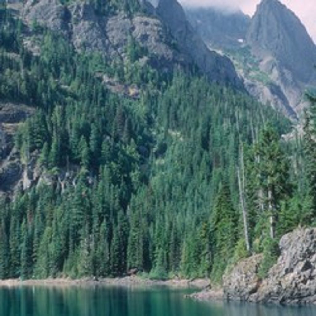
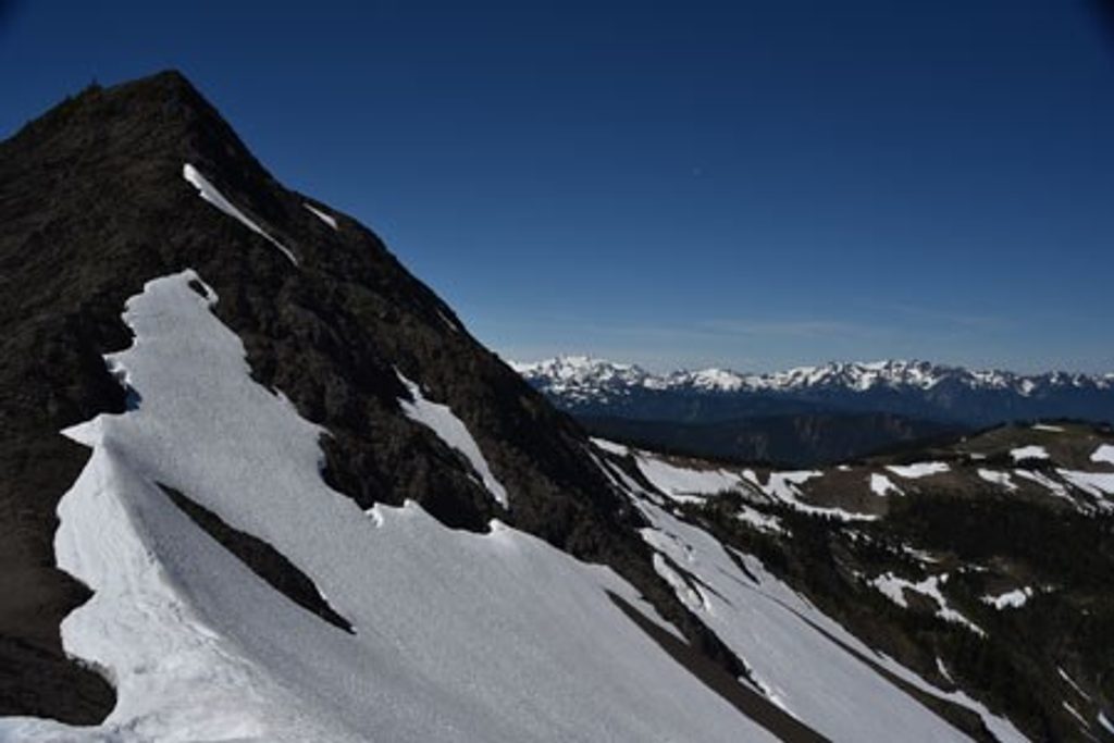
This is not a casual lake stroll—it’s a rugged climber’s route that earns every view. After a mellow approach up the former Dosewallips Road along Constance Creek, the Lake Constance path rears up and stays brutally steep to the finish. You’ll claw through a lower burn scar (from 2009) dotted with blowdowns, pass the massive Half Acre Rock, and then tackle sustained hands-on scrambling (Class 2–3) on dirt, roots, and rock. Expect brief exposure where a mistake could be serious. Near the top, a waterfall signals the last push into one of the most dramatic basins in the Olympics: deep-blue Lake Constance tucked beneath towering cliffs and avalanche-chiseled walls below Mount Constance.
Plan on roughly 13–14 miles total out-and-back, depending on where you start on the closed Dosewallips corridor. The approach is about 5 miles each way on the old roadbed, followed by the notorious 1.8-mile climber’s path that gains about 3,200 feet—often cited as the steepest climb in the park. It’s exhausting, technical hiking with real scrambling and route-finding. Many strong hikers do it as a very long day; plenty turn it into an overnight to enjoy the lake.
This is an unmaintained route. In the burned lower forest, the tread can vanish; recent flagging and ribbon help, but don’t rely on it. Higher up, boulder-strewn sections can be slick when wet or during snowmelt, and snow can linger surprisingly late. There’s a notorious mid-route “false flat” that makes it feel like the lake is near—it isn’t. Start early, bring a map and compass, and be prepared for hands-on scrambling.
Primitive camps sit both en route and at the lake. Overnight stays require a backcountry permit (reserve in advance via Recreation.gov). Bear wires are provided at the lake; where you can’t hang food, carry a canister. A composting toilet is available—pack out toilet paper and urinate away from water. No pets on this route.
Water is usually more abundant earlier in the season; by late summer, side flows can run dry and the canyon turns quiet. Best window is late June or early July through September, when snow has receded and days are longer. Earlier in the season offers more dramatic waterfalls; later offers more stable footing. Either way, this climb is far better in cool morning temps.
If you’re fit, experienced with Class 2–3 terrain, and game for a sufferfest to a spectacular alpine lake, this one delivers. If you’re after a scenic, maintained trail, pick another objective in the park.
Park at the Dosewallips Road washout closure near Brinnon, then hike or bike ~5 miles up the former road to the signed Lake Constance Trail junction.
Extremely steep, unmaintained Class 2–3 scrambling with exposure; significant blowdown in the burned lower forest; slick boulders when wet or during snowmelt; snow may linger; limited water late summer; no pets.
Place
Place
Place
Place
Challenging
Moderate
Challenging
Challenging

Parkwolf Tour Guide
