
Place
Challenging
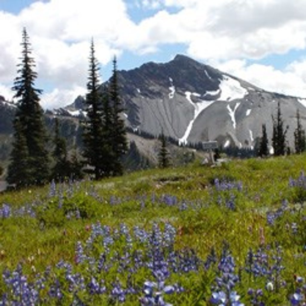
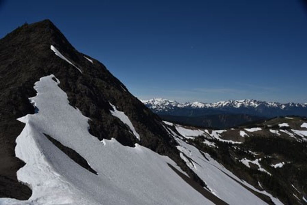
If you like your high country raw and quiet, Lost Pass delivers. This is a designated primitive trail: faint in places, steep, and occasionally more creekbed than tread. The payoff is classic Olympic alpine—rolling, flower-choked meadows, talus and krumholz, and far-off views toward the Olympus massif and the Bailey Range.
The named Lost Pass Trail itself is short—about 1 mile from Dose Meadows up to Lost Pass—and takes roughly 1–2 hours thanks to the steep grade and rough footing. Getting there is the catch: most hikers reach it via the Dosewallips River Trail. From the Dosewallips trailhead, an out-and-back to Lost Pass is a strenuous 43–44 miles total with around 4,500 feet of gain, which is why most people include Lost Pass in multi-day traverses rather than as a day hike.
From the northeast corner of Dose Meadows, a sometimes overgrown junction launches into a steep climb. Expect thin forest, sandstone outcrops studded with purple-red penstemon, and sections where braided game paths or a shallow creek masquerade as the route. Above the pass, the terrain turns harshly alpine with talus and wind-stunted trees, but the meadows around the pass can feel endless in peak bloom.
Aim for mid-July through early September. Early season can bring lingering snowfields and muddy, swollen creeks; early August often hits peak wildflowers in Lost Basin. Late summer is drier and more exposed, with vegetation going crispy and red.
Keep an eye out for bears, mountain goats, and deer roaming the basin. Underfoot and on nearby slopes, note the sandstone outcrops and talus—textures shaped by uplift and glaciation across this high ridgeline between the Dosewallips and Lost River drainages.
For experienced backpackers who enjoy scrappy routes and solitude, Lost Pass is a gem. If you want a clear, easy trail or a quick day outing, look elsewhere. For a bigger, linked traverse with similar vibes, consider stitching it with Grand Valley via Grand Pass or other high-country passes in the area.
Access via the Dosewallips River Trail; the Lost Pass Primitive departs from the northeast corner of Dose Meadows.
Primitive, steep route with overgrowth and indistinct tread; expect route-finding, loose footing, little to no cell service, and possible snowfields even in summer.
Place
Place
Place
Place
Challenging
Moderate
Challenging
Challenging

Parkwolf Tour Guide
